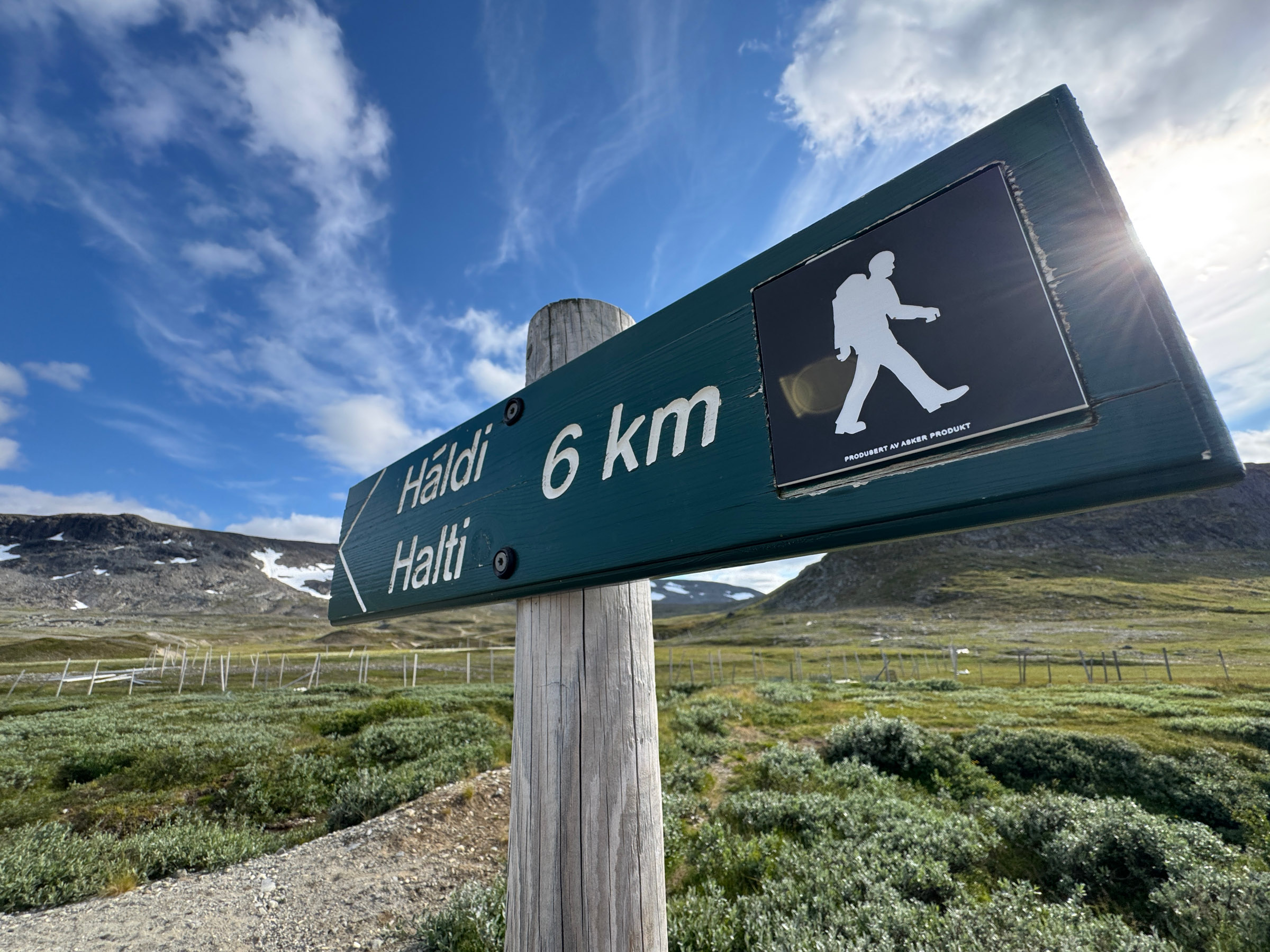
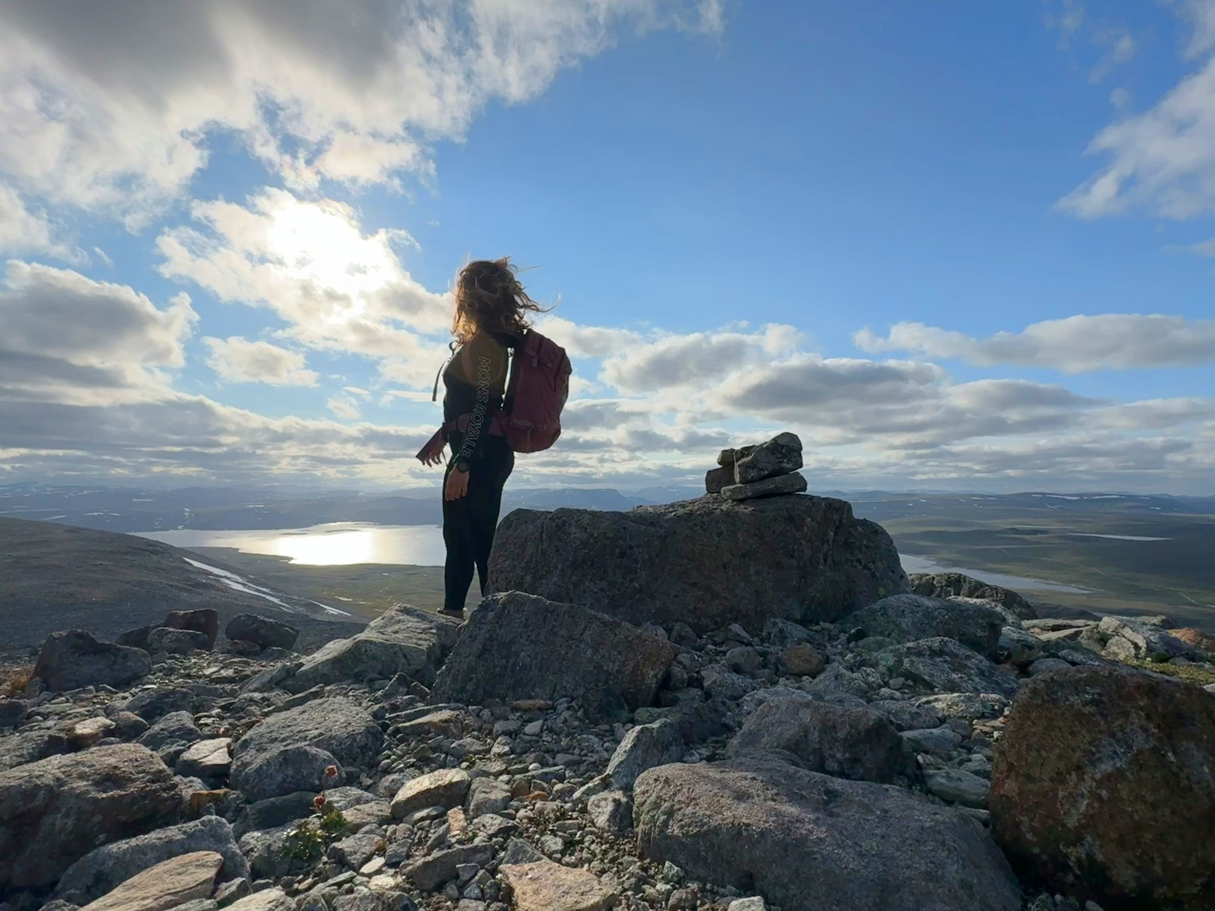
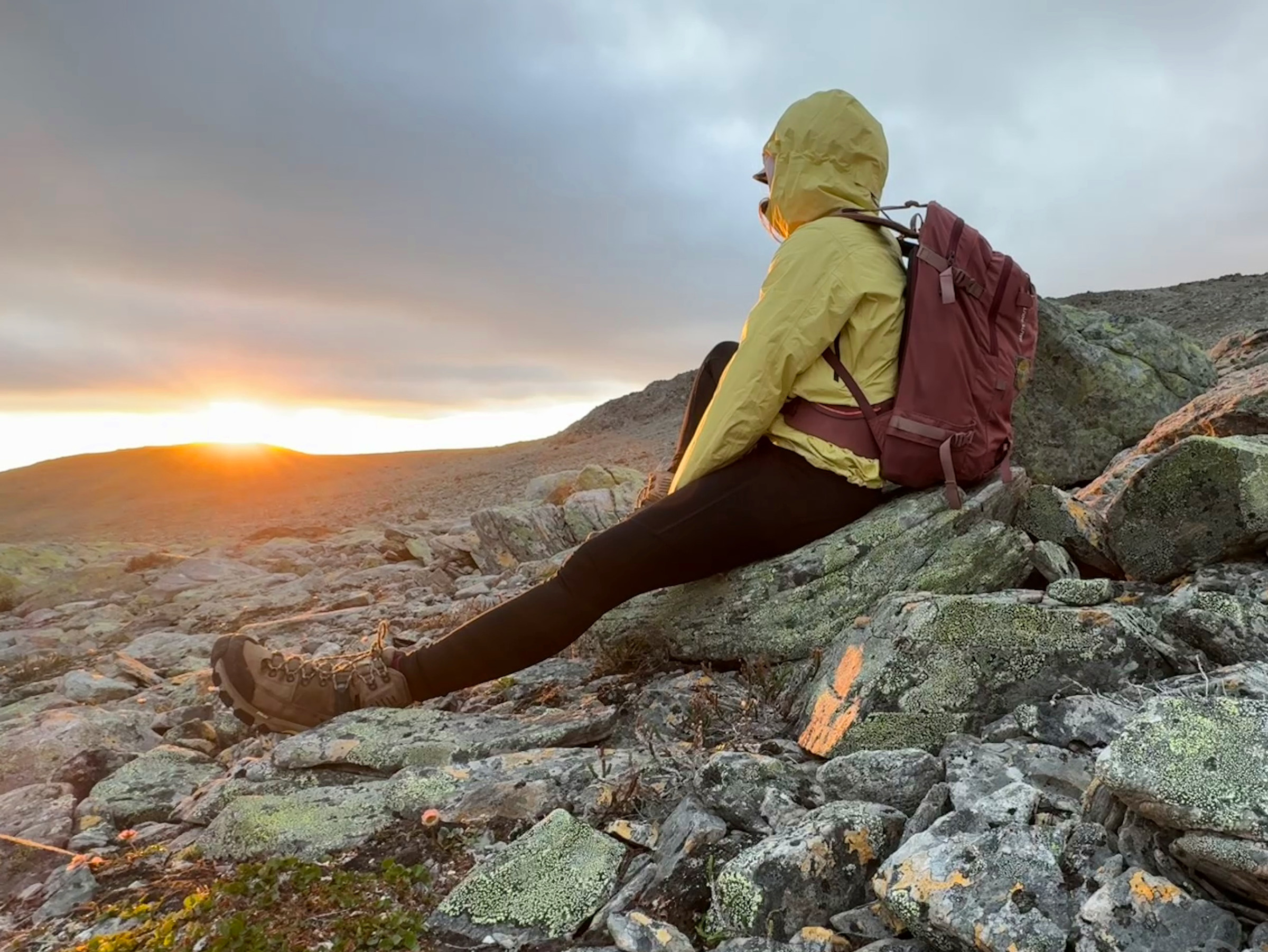
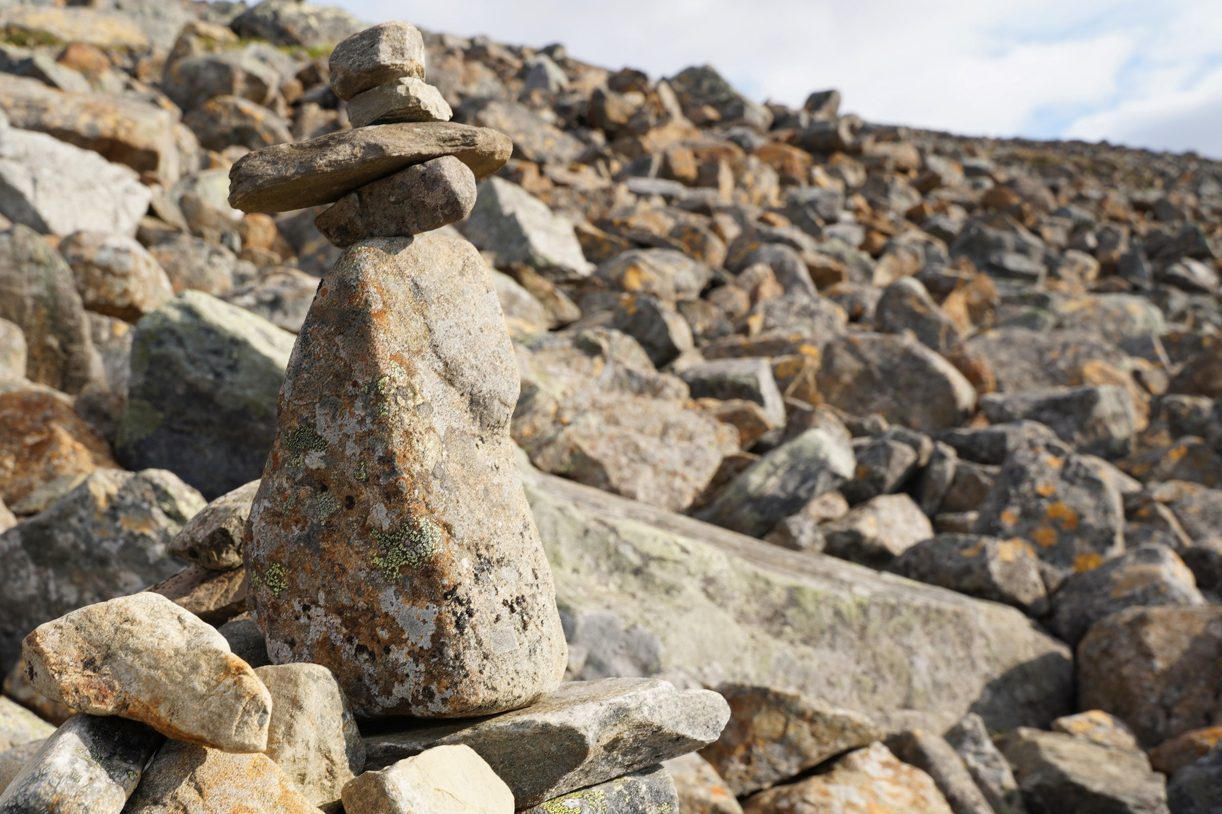
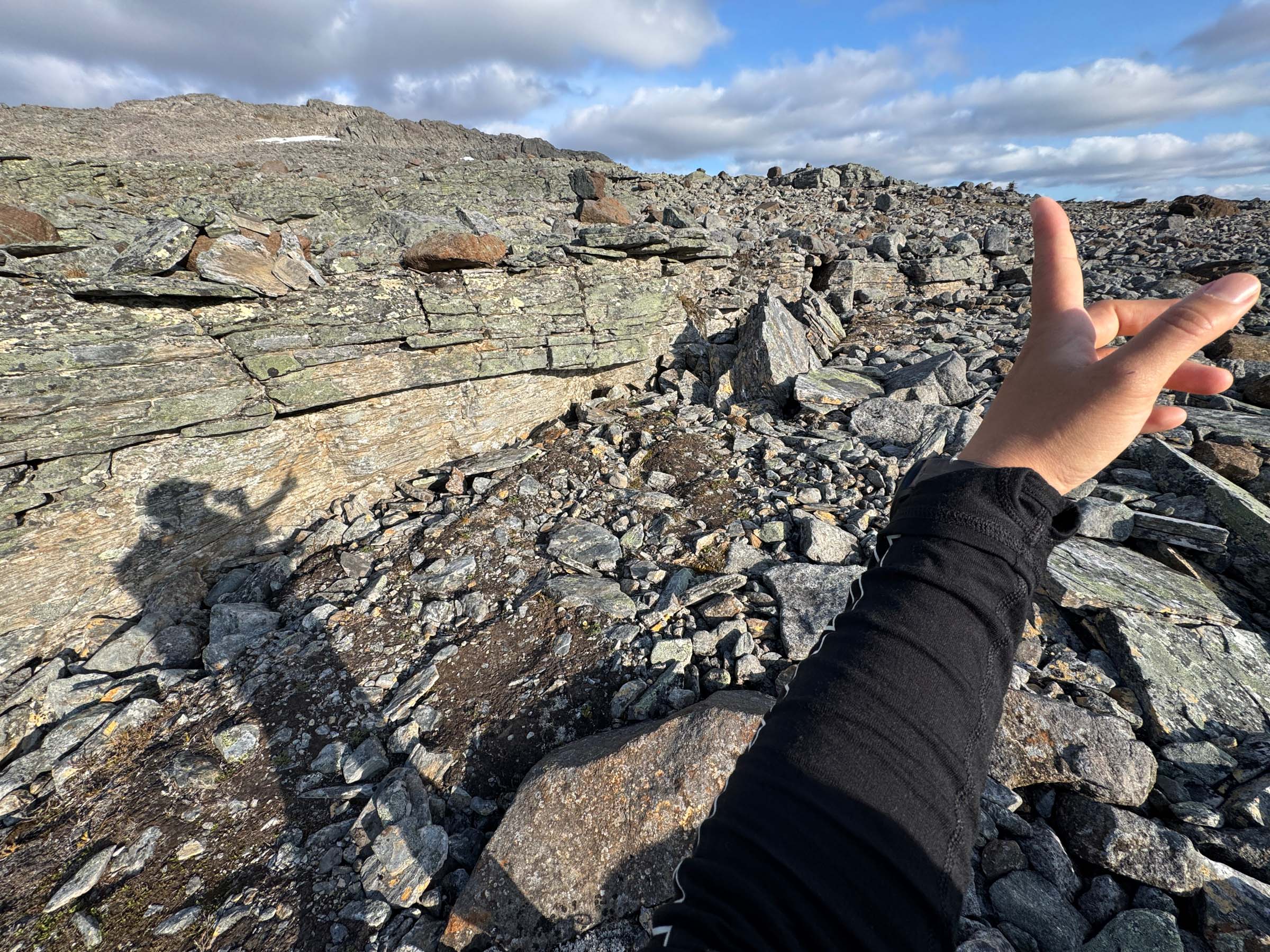
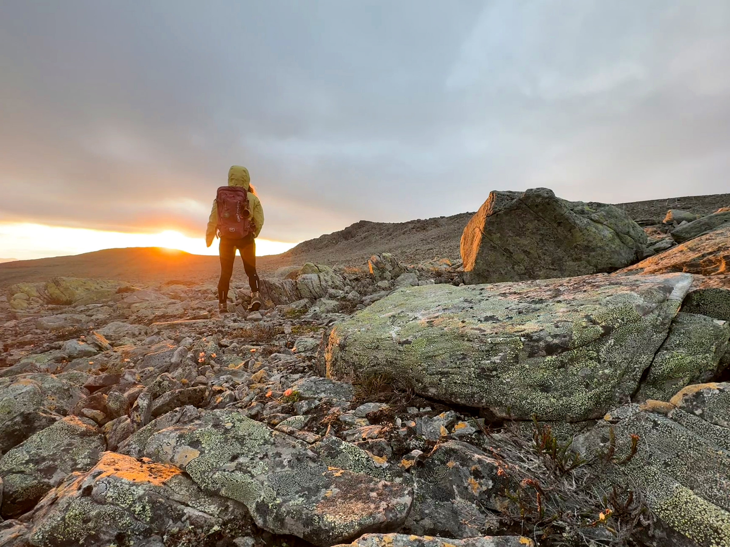
Whoever made up the name rocky road must have experienced the same. On a trail this jagged, it’s hard to think about anything except rocks. You can usually find these types of loose, unstable, broken rock fragments gathered on steep mountainsides and at the bases of cliffs. The six-kilometre hike to Halti gets rough on the first ascent and stays rugged the whole way up.
We asked Finnish journalist Pauliina Toivanen to hike to Finland’s highest mountain from the Norwegian side. Here’s her story
Formed by weathering and erosion, these unstable rock fields, also called scree or talus slopes, shift constantly underfoot. Take each step carefully, feel out the stone first with the tip of your foot and, if it’s steady enough, take the leap of faith. Stay concentrated and balanced, since the stone might surprise you with a slight swing after your full body weight shifts onto it.
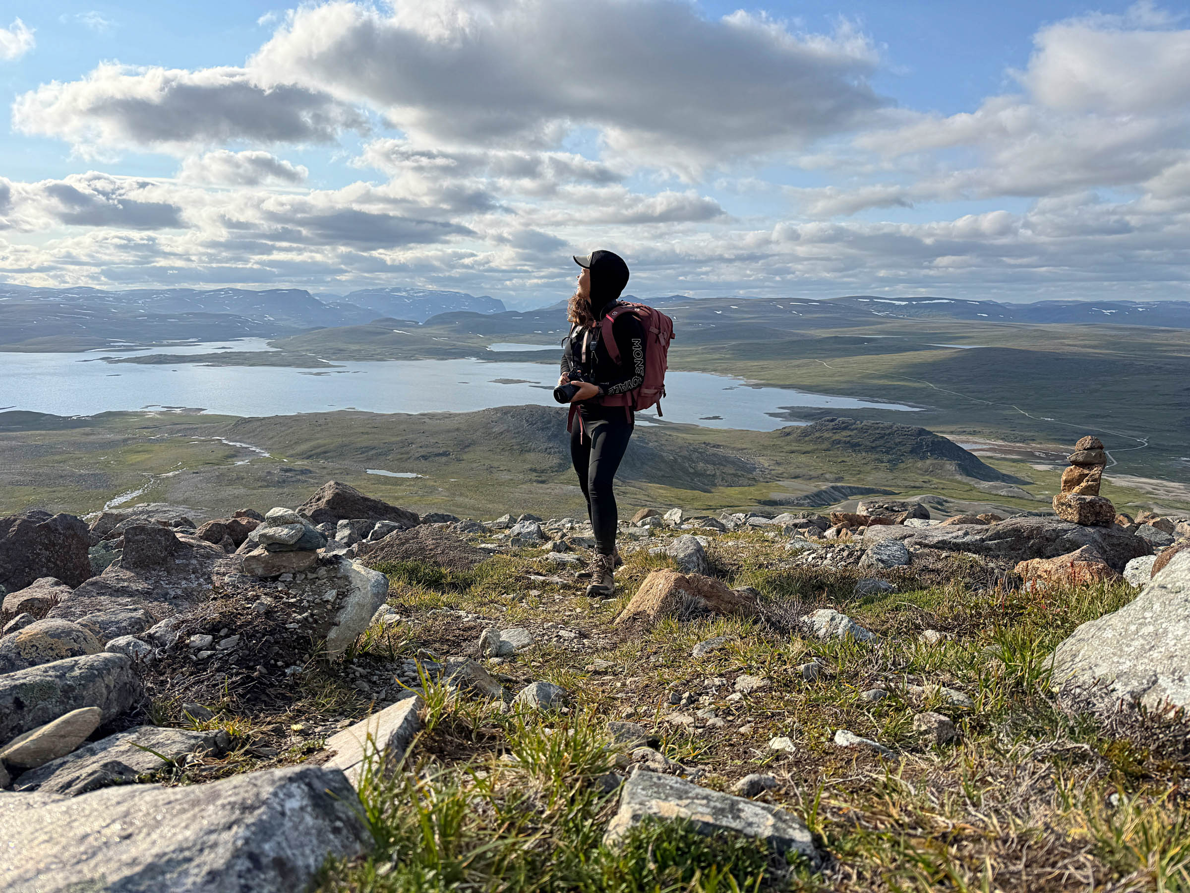
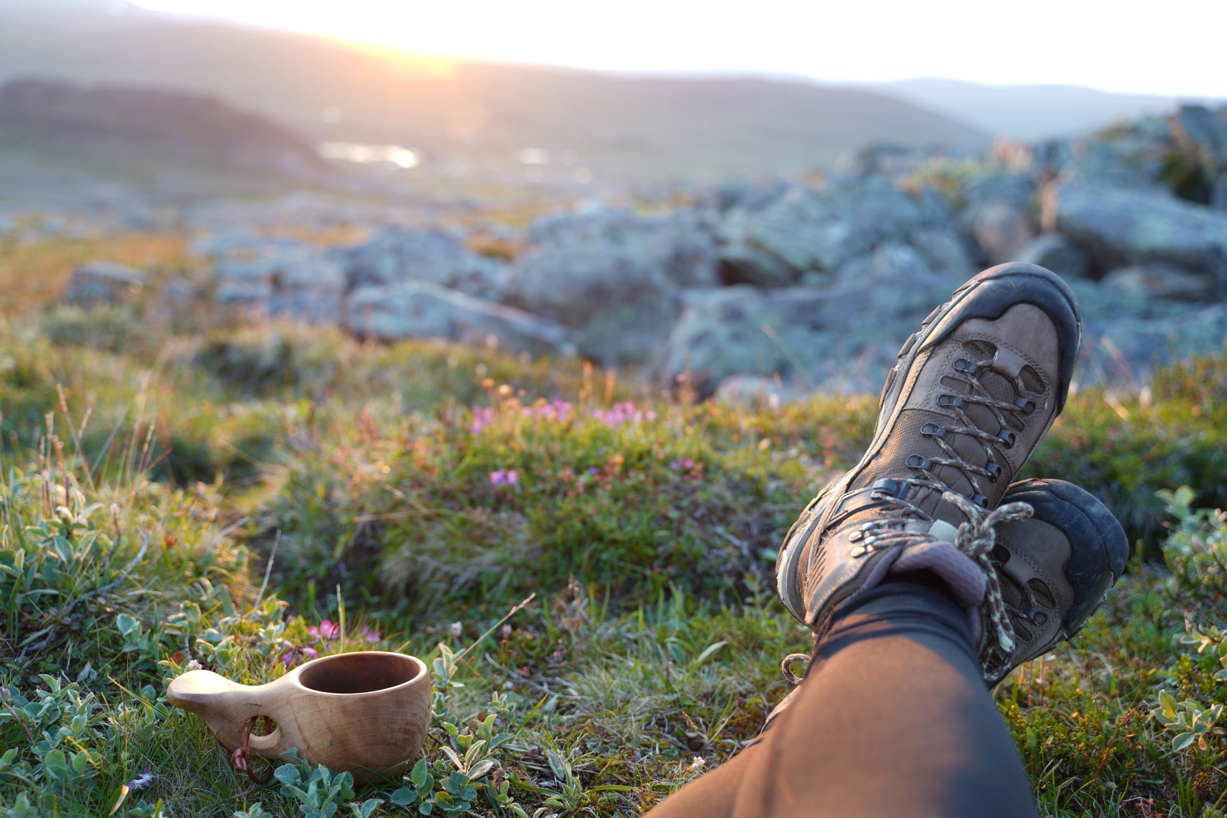
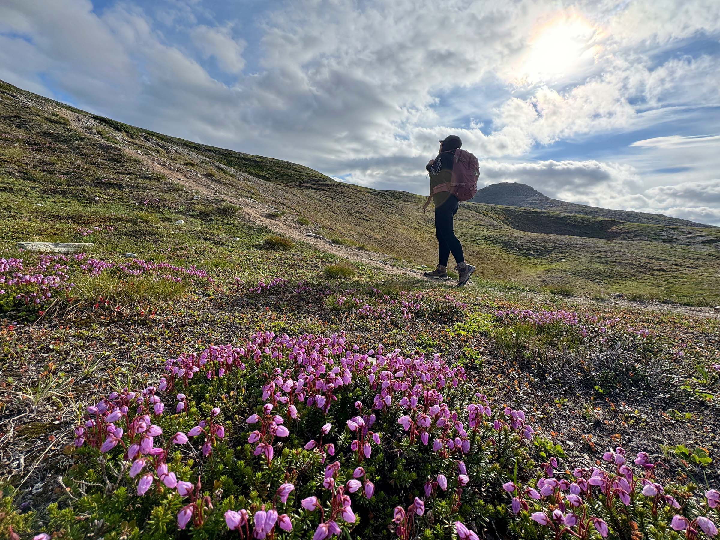
Mindfulness at Its Best: Presence, Solitude, and Peace
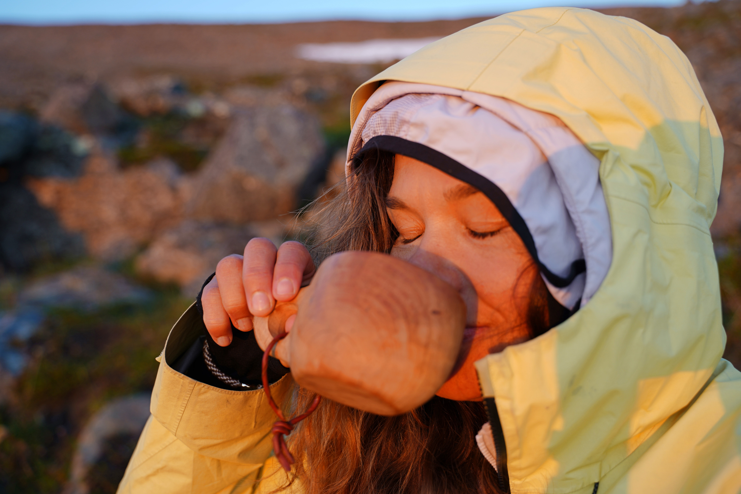
Ironically, I can’t think of any metaphorical rocky roads in my life right now. This is mindfulness at its best and the reason why physically demanding mountain adventures are so captivating. In terrain like this, you have to stay alert and present at all times.
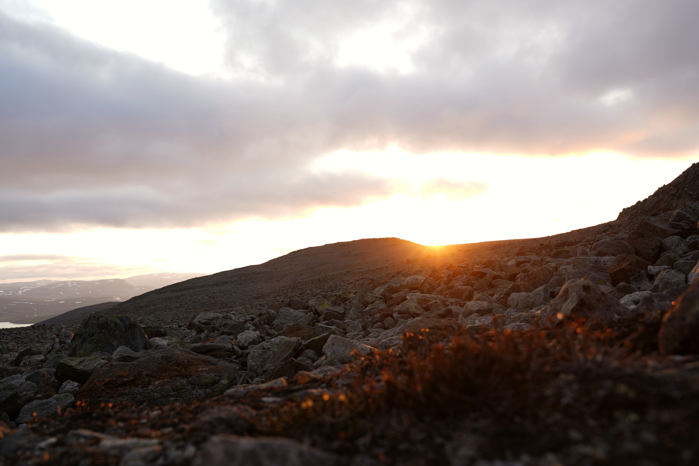
In addition, the open and solitary landscape fills me with an ultimate feeling of peace. The nervous system relaxes when you can see far into the distance without spotting any potential danger. I see no one, not even a single mosquito or a fly!
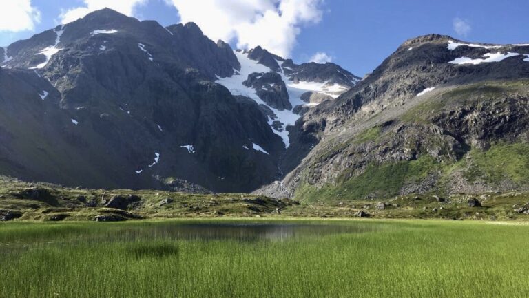
The less built and more natural the environment, the stronger its revitalizing and health-promoting effects. This scenery hasn’t changed much since the Ice Age.
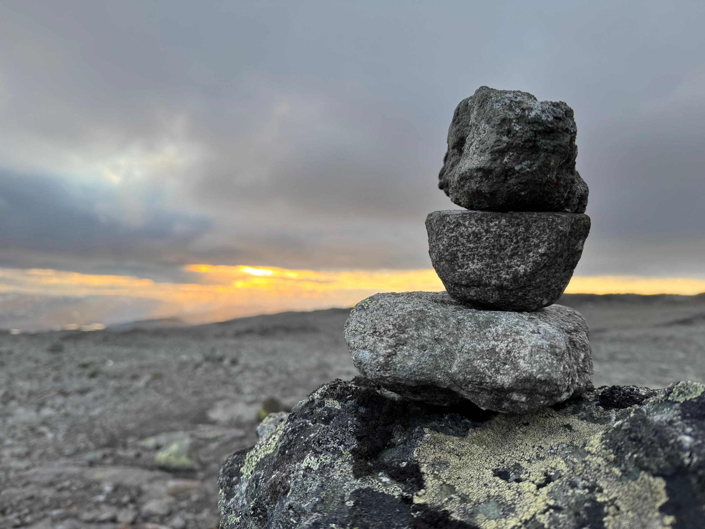
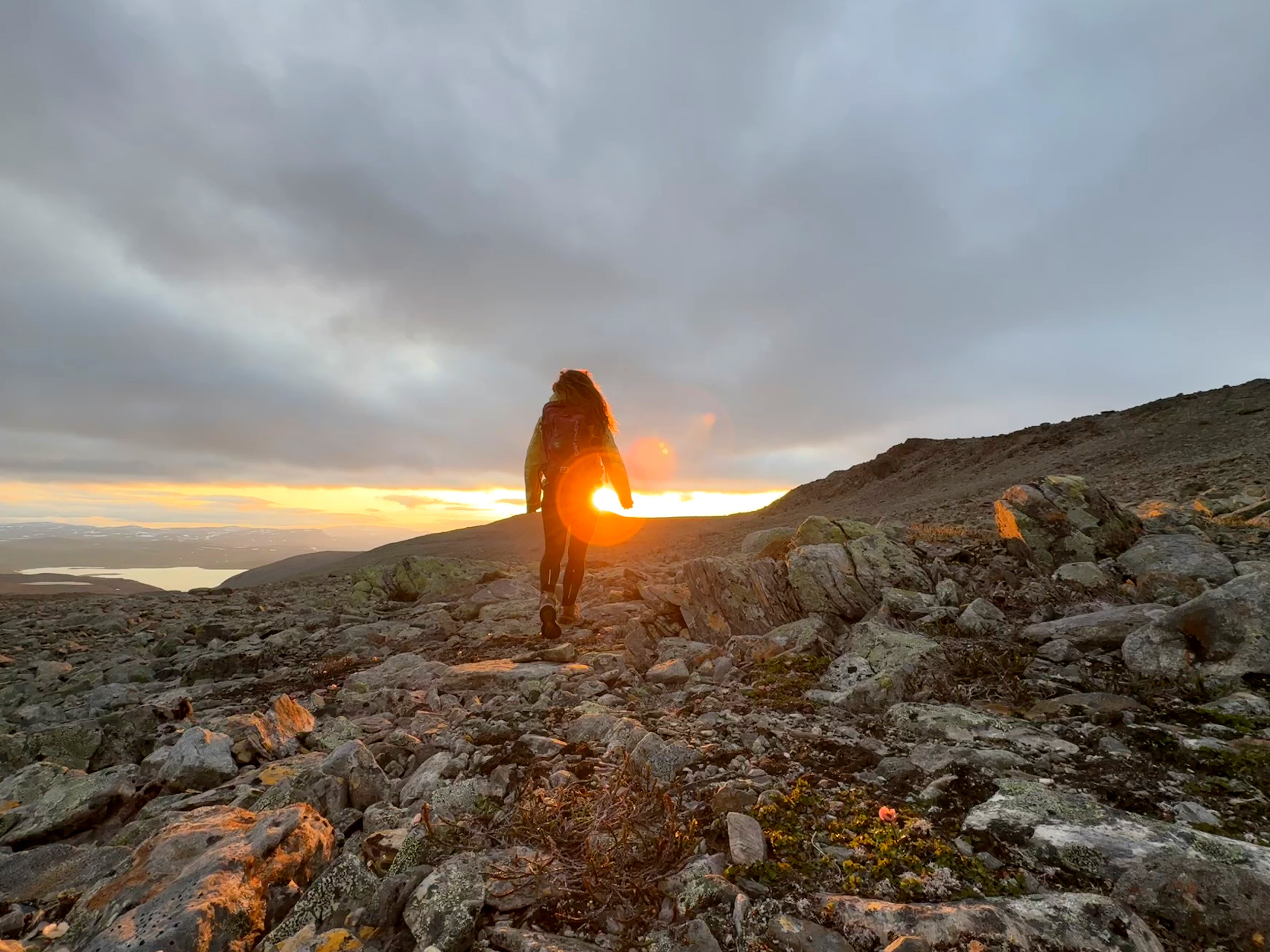
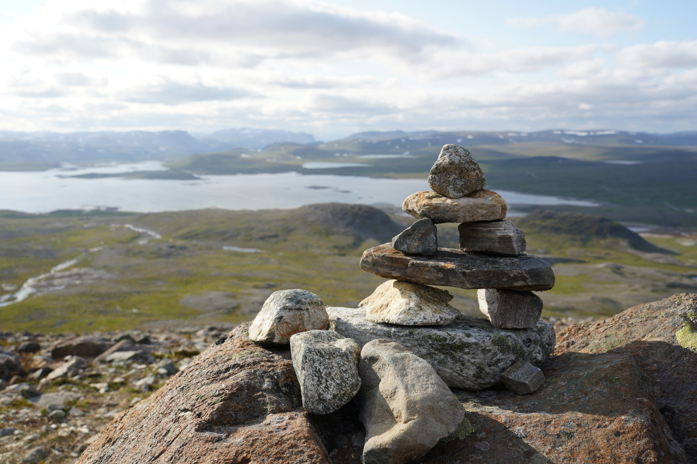
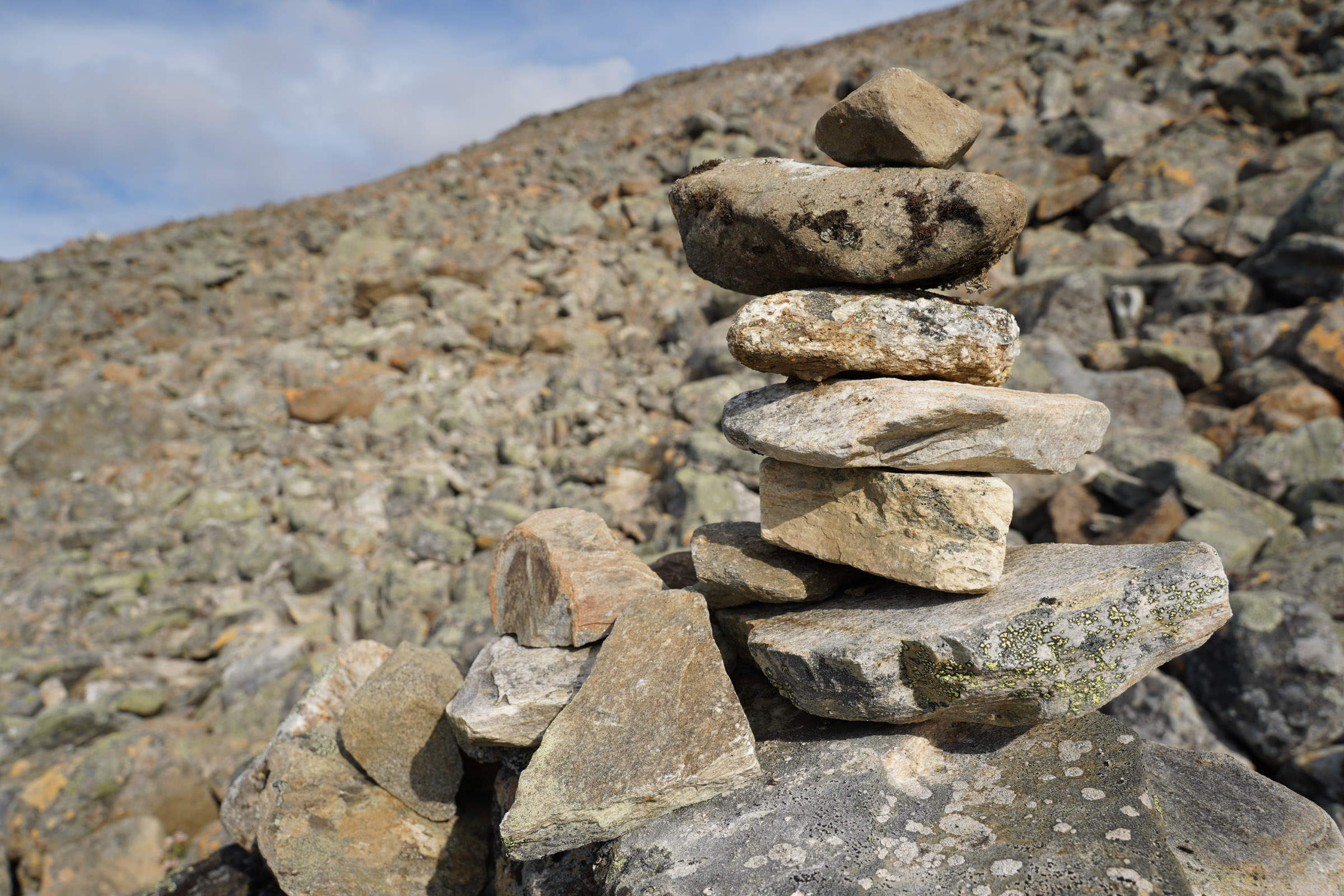
The only human-made constructions are reindeer fences and piles of rock that mark the path. Spotting a cairn in a sea of stones becomes a concentration exercise of its own. When trying to detect a structure to cross the reindeer fence I see only places I either have to crawl under or scramble over and get stuck from my hind limbs – like every other legged creature roaming these lands.
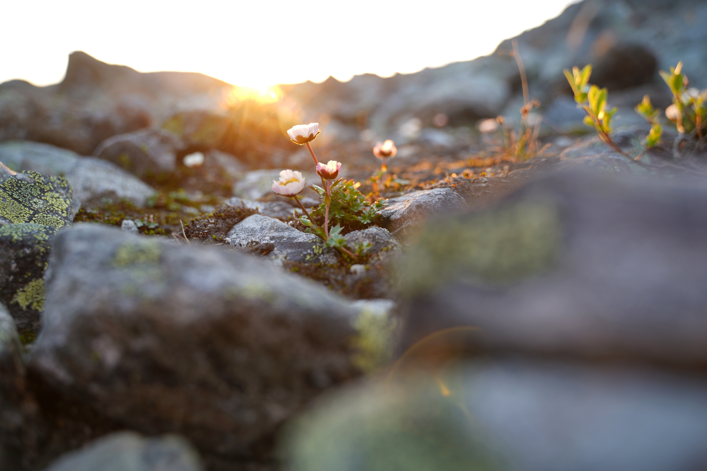
Where Is The Peak?
I’ve lost the trail marks several times already. Eventually, I decide to stop looking for them and moonwalk south across the space towards what I assume is Halti’s second-highest peak, near which the highest point of Finland is located.
Mobile coverage is patchy. Both my map application and the photo I snapped of the parking lot’s signpost cut off at the Norwegian border. I can’t exactly tell my location in relation to my final destination on the Finnish side.
As I get closer, I start to question the peaks altogether. Is that the second-highest? Does it even matter? I hope they have marked the highest point of Finland somehow; otherwise I probably can’t tell the difference!
In relation to the reindeer fences, I have skipped way too far west of the marked path. I guess there is a crossing point somewhere along the fence, but I have already walked the estimated distance. To save time, I decide to hop over and find the right crossing on my way back.
Finally, I see the rock piles again, climbing in the same direction as my assumed peak. There are a couple of false summits along the way. Suddenly, my watch shows 1,331 meters above sea level. There is no marker, but this must be the peak on Norway’s side.
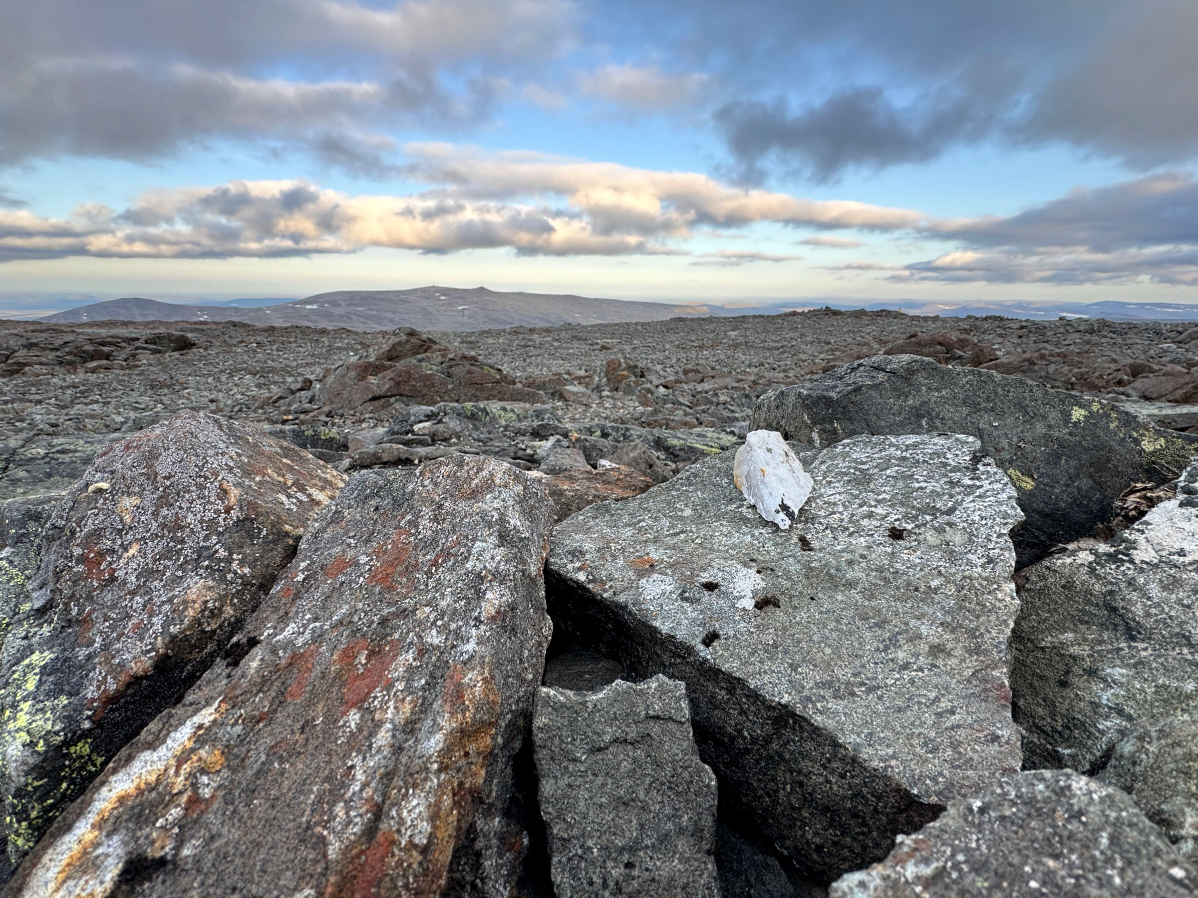
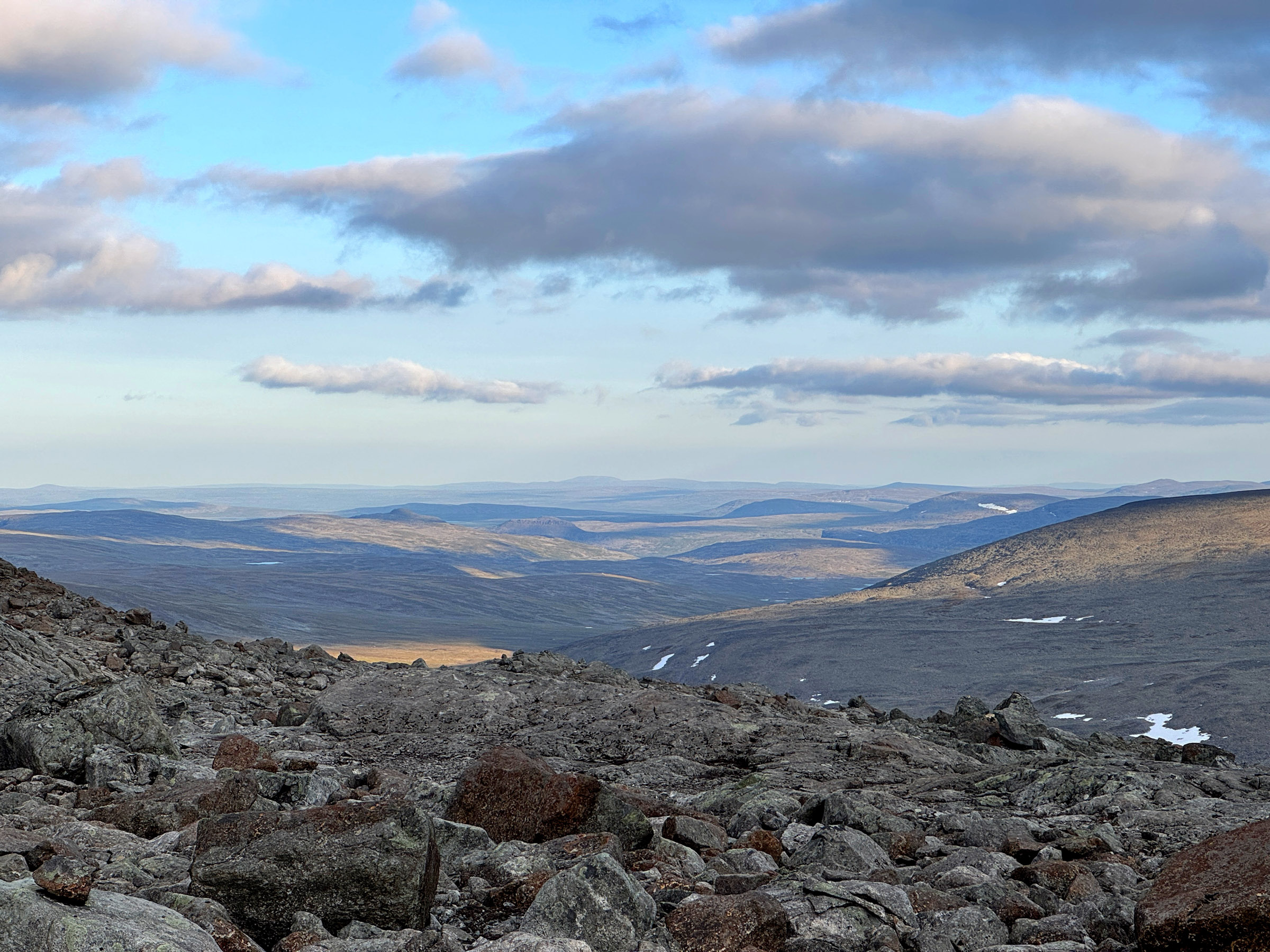
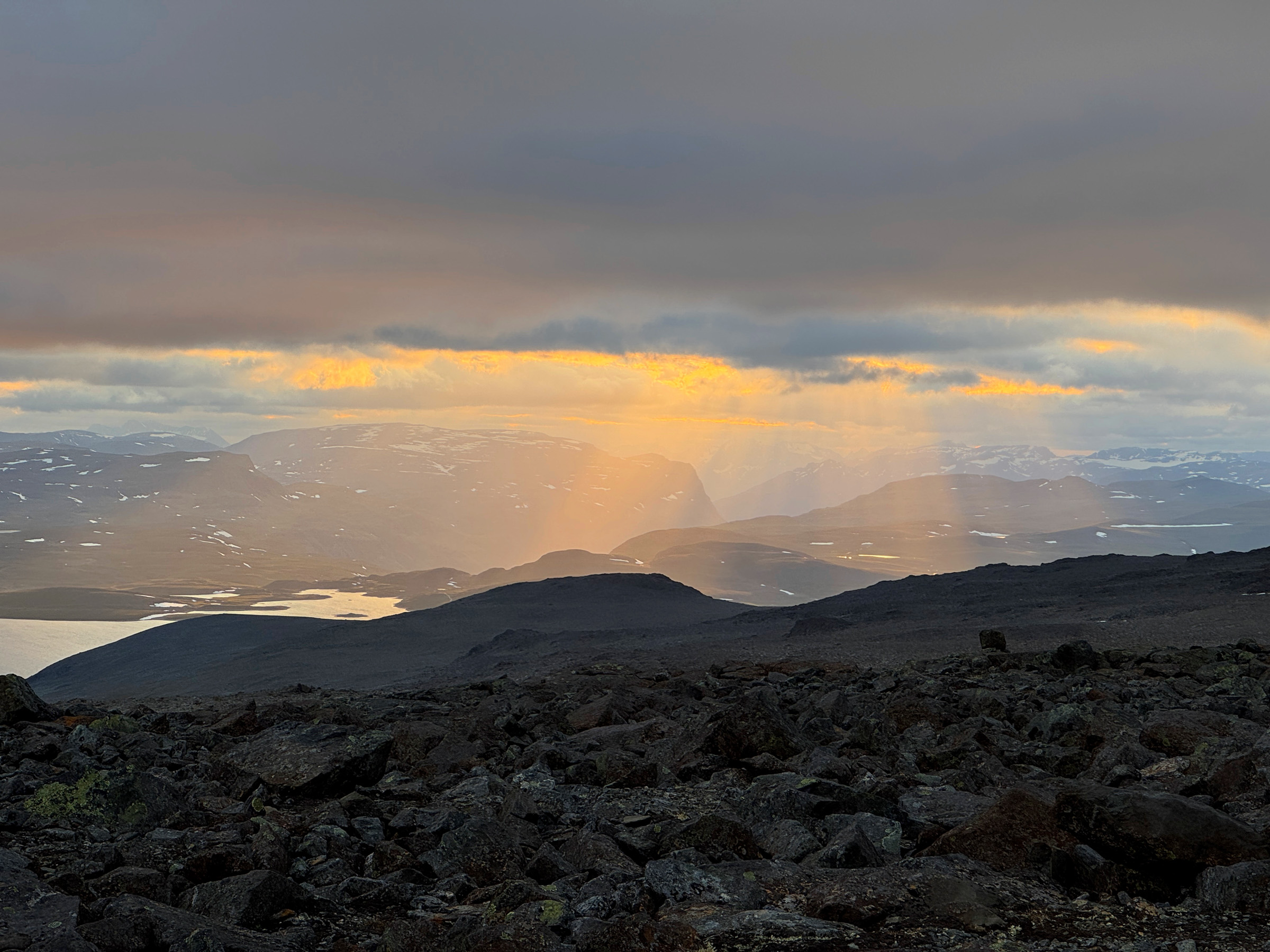
Unmistakable View: Round-Topped Finland, Sharp-Edged Norway
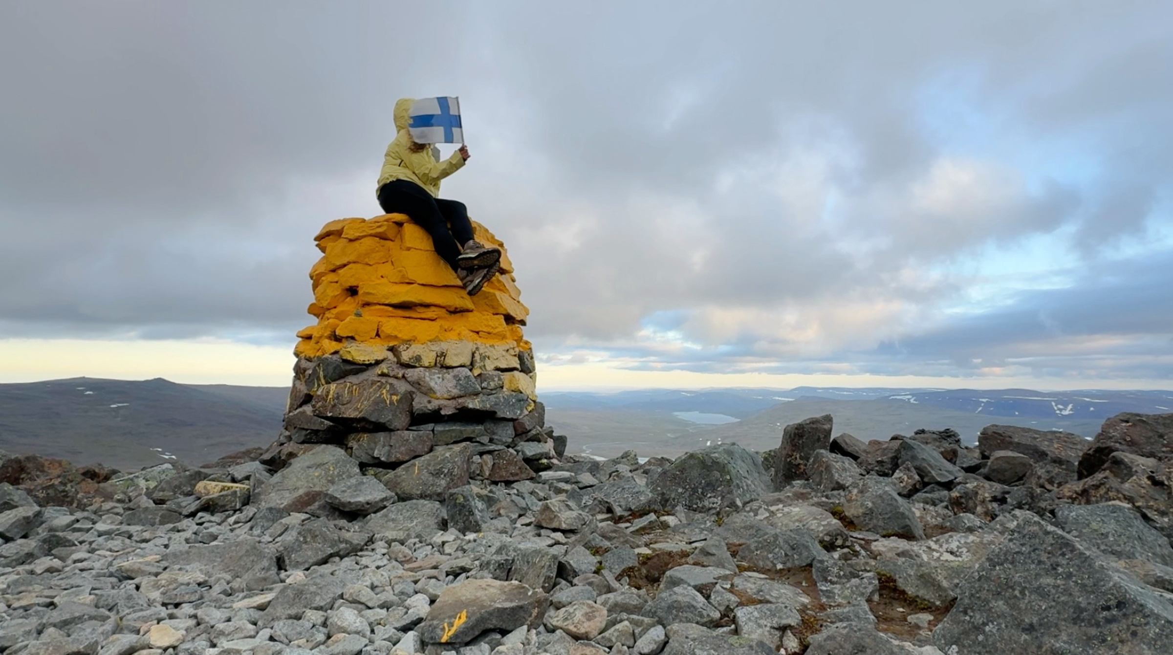
I look around and spot the piles of stones continuing down South. Then I see it, a yellow cairn and a mailbox: the highest point of Finland, 40 meters from the second-highest peak of Halti, 7 meters lower in the slope, 1,324 meters above the sea level.
The view makes it unmistakable. To the Finnish side stretch the endless rolling silhouettes of Lapland’s round-topped fells. These ancient landscapes are carved from some of the oldest bedrock in Europe, rock that formed 1.8–3 billion years ago. Over vast spans of time, erosion has worn them smooth. No wonder the highest point of such a land is not an actual peak.
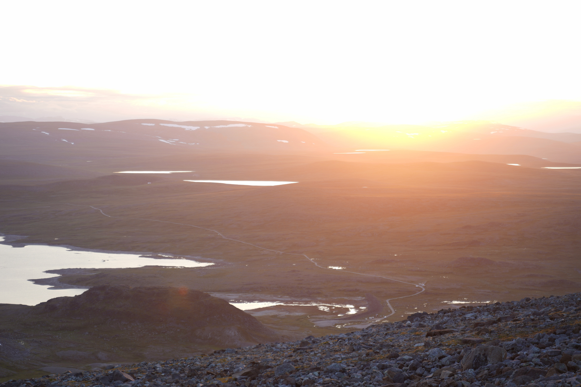
Turning north, I see the midnight sun shimmering through the clouds. Its light catches the sharp, tooth-like pinnacles of the much younger mountains. These were formed around 450–400 million years ago, when movements of the Earth’s crust thrust up a great mountain chain. They were later rejuvenated by uplift during the past 20 million years.
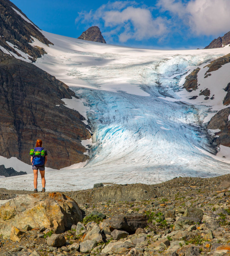
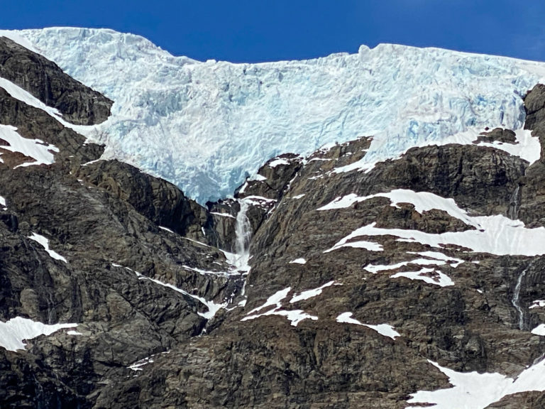
The continental ice sheets of the Ice Age ground down much of Finland’s landscape. In Norway, the same ice carved deep valleys and fjords instead. Many mountain peaks remained above the ice, and both past and present glaciers have helped shape the scenery seen today.
Free and Innocent as a Bird in a Border
I can’t spot the actual border without navigating it from the elevation in my watch. Borders are peculiar things. Here, I can just skip from one country to another, in and out of the European Union. In other parts of the world, the border defines life and death, freedom and prison, hope and desperation.
When Russia launched its full-scale invasion of Ukraine in 2022, I was standing on top of a fell near the eastern border of Finland, gazing towards the homelands my grandparents had to escape from in World War II. The Russian border, once associated with immense horror, looked like the ultimate sanctuary of peace.
I tried to imagine the same destruction happening in real time, in the same border line southeast, while not being able to distinguish where the enemy even began. On the eastern border, the neighbour holds the higher peaks too, so at least I could point them on the other side.
On top of Halti, I don’t feel the grim burden of history the same way. Here, I’m free as a bird. And just when I think of it, I see him again – snow bunting, snøspurv in Norwegian, pulmunen in Finnish. I saw the bird earlier in the first ascent and asked him to guide me. Now, he chirps: be present.
In Finnish we have a saying puhdas kuin pulmunen, meaning innocent, honest, or spotless as a snow bunting.
Crossing a Reindeer Fence the Norwegian Way
I had planned to go also to Ráisduattarháldi, the peak that rises 47 meters higher than Finland’s top on Norway’s side. After seeing it from a distance and the amount of acrobatics it would take for me to get there, I couldn’t care less – just another pile of rocks in a vast scree field beyond a reindeer fence.
I truly enjoy the mindfulness and peace this journey has given me, but my little detour has been costly. The weather window didn’t give the promised full midnight sun. The wind is picking up and my phone battery is almost dead. I figure it’s better to start my crawl down and this time, stay on the marked path.
I still can’t find a crossing point through the fence, so I conclude that with Erling Haaland’s countrymen’s physics, it’s simply a matter of stepping over an obstacle. Later, Reisa National Park manager Rune Benonisen explains that the fence is new, so there probably isn’t a designated crossing point yet, and no one is really responsible for installing one. He emphasizes that visitors should come prepared with their own maps and be ready to improvise if necessary.
A Scree Hike Guarantees a Body Well-Used
At 2AM, I reach the parking lot. The sun has already started its climb back up. My fingers are freezing; it’s just +4 degrees Celsius in the middle of July. I realize I’m still at a higher altitude than I’ve ever been in Finland prior to this trip: 777 meters above sea level. However, most of the peaks I’ve top-toured in the Lyngenfjord area are not as high as the highest point of Finland!
No matter the elevation, a scree hike always guarantees a body well-used, filled with endorphins, and craving for more – after a good night’s sleep in the embrace of Reisa National Park’s wilderness.
How About a Peak as a Birthday Present?
In 2016, retired Norwegian geophysicist Bjørn Geirr Harsson came up with an unusual idea: to give Finland a mountain peak as a gift for the country’s 100th anniversary of independence. Residents of the municipality of Kåfjord joined the mission and sent a proposal to then Norwegian Prime Minister Erna Solberg, arguing it was somewhat unfair that Finland’s highest point lies not on a summit, but on the slope of Halti.
To make the gift possible, the border between Finland and Norway would have had to be moved by just 40 meters. Under the proposal, the mountain’s highest peak, Ráisduattarháldi, rising 1,361 meters above sea level, would have remained in Norway. Finland, meanwhile, would have gained Halti’s second-highest peak and, with it, a true summit as the highest point in the country.
The idea attracted widespread public attention and goodwill on both sides of the border. In the end, however, Prime Minister Solberg rejected the proposal. Although the border adjustment would have been tiny, changing the national border was considered legally too complicated, particularly under the Norwegian constitution. Solberg nevertheless praised the proposal as a creative gesture.
Halti Trail
Halti has two peaks, both on Norway’s side: Ráisduattarháldi (1,361 m) and Halti (1,331 m). 40 meters south from the second-highest peak is a yellow cairn marking Finland’s highest point. The distance between Ráisduattarháldi and Halti is about 2 kilometres.
- Length: 14 km (roundtrip)
- Duration: 5–7 hours
- Level: Difficult
- Season: mid-June to beginning of October
The route leads from the car park to the western side of a reindeer fence. Go through the gate near the car park. From the fence, follow the markings (piles of rocks) southwest up the mountainside. The first climb is the steepest part of the hike.
The route leads across a field of scree towards a riverbed where two reindeer fences intersect, about 2 kilometres from the summit. The route heads east along the riverbed and the reindeer fences. Follow the markings, which eventually lead away from the reindeer fence and south towards Halti (1,331 m). Finland’s highest point (1,324 m) is about 40 meters from the peak and marked by a yellow cairn.
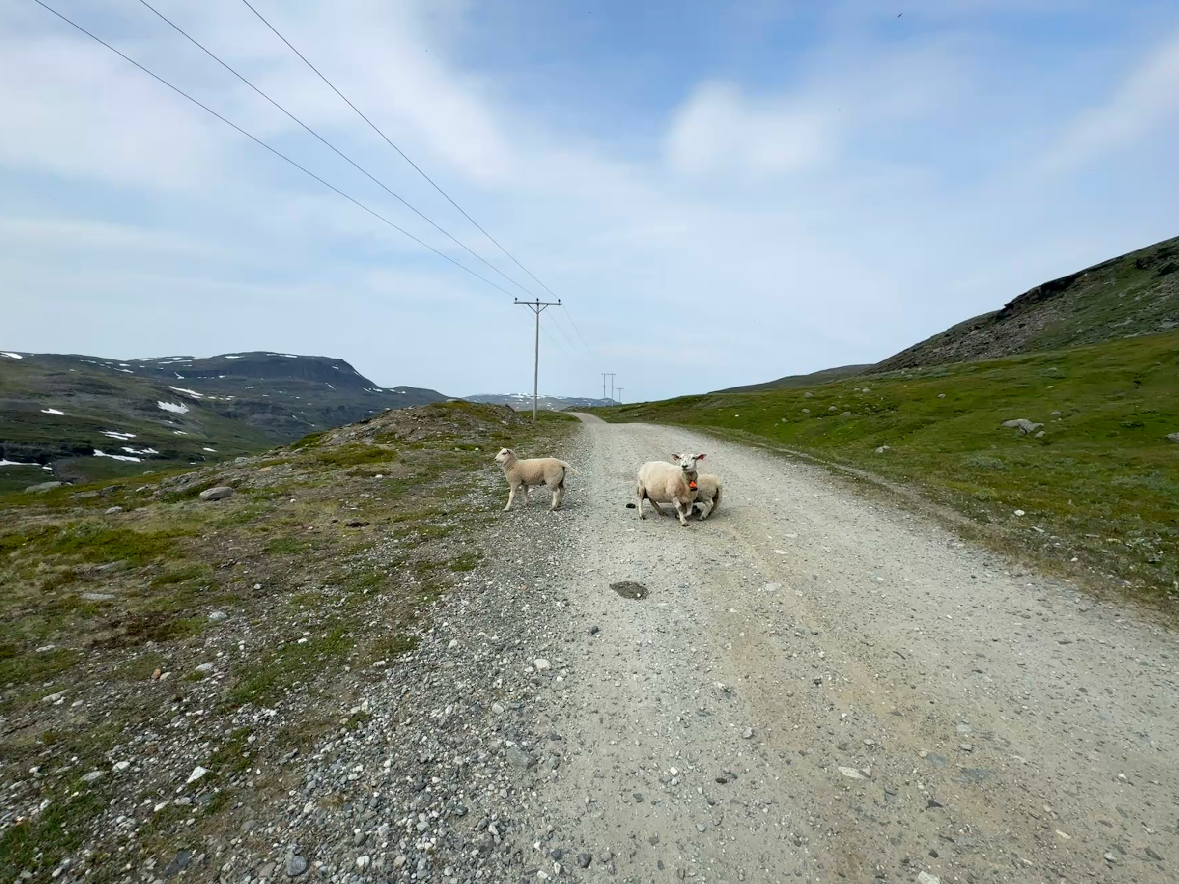
Note! In the period from June 15 to August 15 there is less active reindeer herding on the east side towards Reisa Valley. After August 15, the herd is released and heads south through the fence at Gahperus. If you see reindeer feeding, do not disturb them; simply go around them.
Hikes from/to Kilpisjärvi (Finland): The hike is 55 kilometres long and forms part of the Arctic Trail. More information: http://www.nationalparks.fi/en/kasivarsi/trails
About this article: Pauliina Toivanen is a journalist from Finland living in Lyngseidet, Northern Troms. She writes with both deep local insight and the fresh eye of someone who came to the region from elsewhere.
Good to know about Halti?
Halti is a mountain massif on the border between Finland and Norway. The two highest peaks are both on the Norwegian side. Finland’s highest point lies 40 metres south of Halti’s second-highest peak, on the mountain slope at 1,324 metres above sea level.
Because the border between Finland and Norway crosses the slopes of Halti rather than its summit. Finland’s highest point is therefore located on the mountainside, while both summits remain in Norway.
Yes. The trail follows the border area, and you can easily cross between Finland and Norway on foot. There are no fences or border controls separating the countries at the summit area.
Yes. Although the elevation gain is moderate compared with many alpine hikes, much of the route crosses loose scree. Walking on unstable rocks requires concentration, good balance and sturdy hiking boots. The trail is considered difficult.
Scree (also called a talus slope) consists of loose rock fragments that have broken away from cliffs through weathering and erosion. Unlike solid rock, scree shifts underfoot, making hiking slower and more demanding
Previous mountain hiking experience is recommended. The route is untechnical, but the long stretches of loose rocks make it physically demanding. Good footwear, suitable clothing and navigation skills are important.
The hiking season normally runs from mid-June until early October, depending on snow conditions. July and August offer the most reliable conditions, while early autumn often brings beautiful colours and fewer visitors.
Yes. The classic Finnish route starts from Kilpisjärvi and takes several days. The Norwegian route through Reisadalen is much shorter and reaches Finland’s highest point in a day hike.
Ahead of Finland’s centenary in 2017, a proposal suggested moving the border about 40 metres so that Finland would gain Halti’s second-highest peak. The idea received widespread support but was ultimately rejected because changing the national border was considered legally too complicated.
Yes. During summer, Halti offers excellent midnight sun views thanks to its high elevation and open mountain landscape. Weather conditions, however, determine how much of the sun is visible