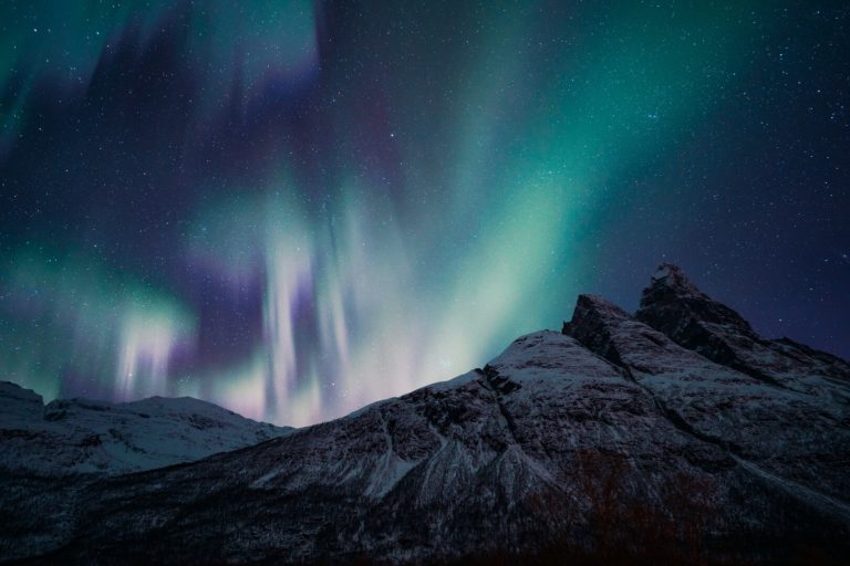
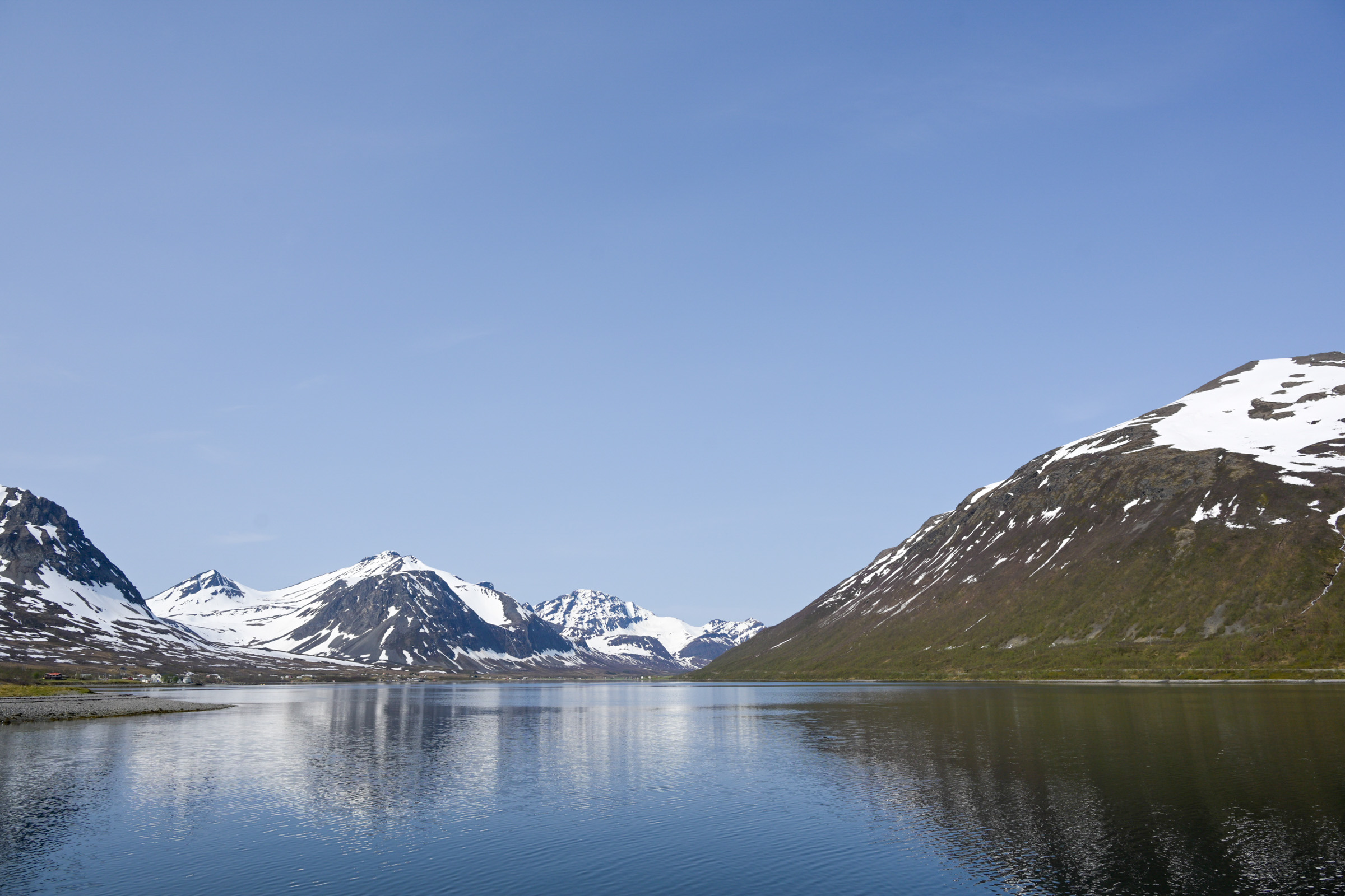
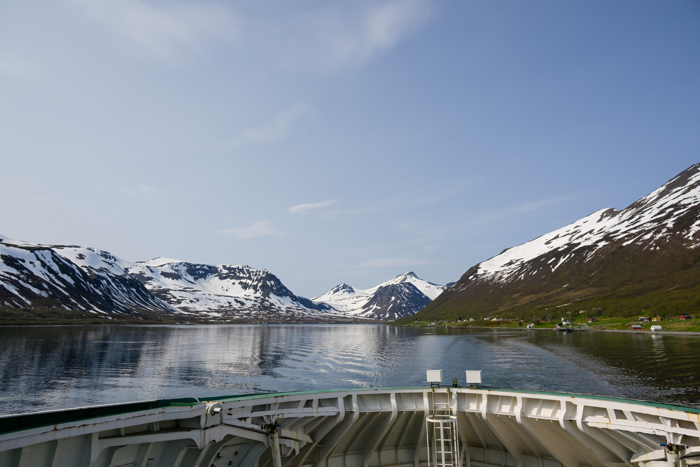
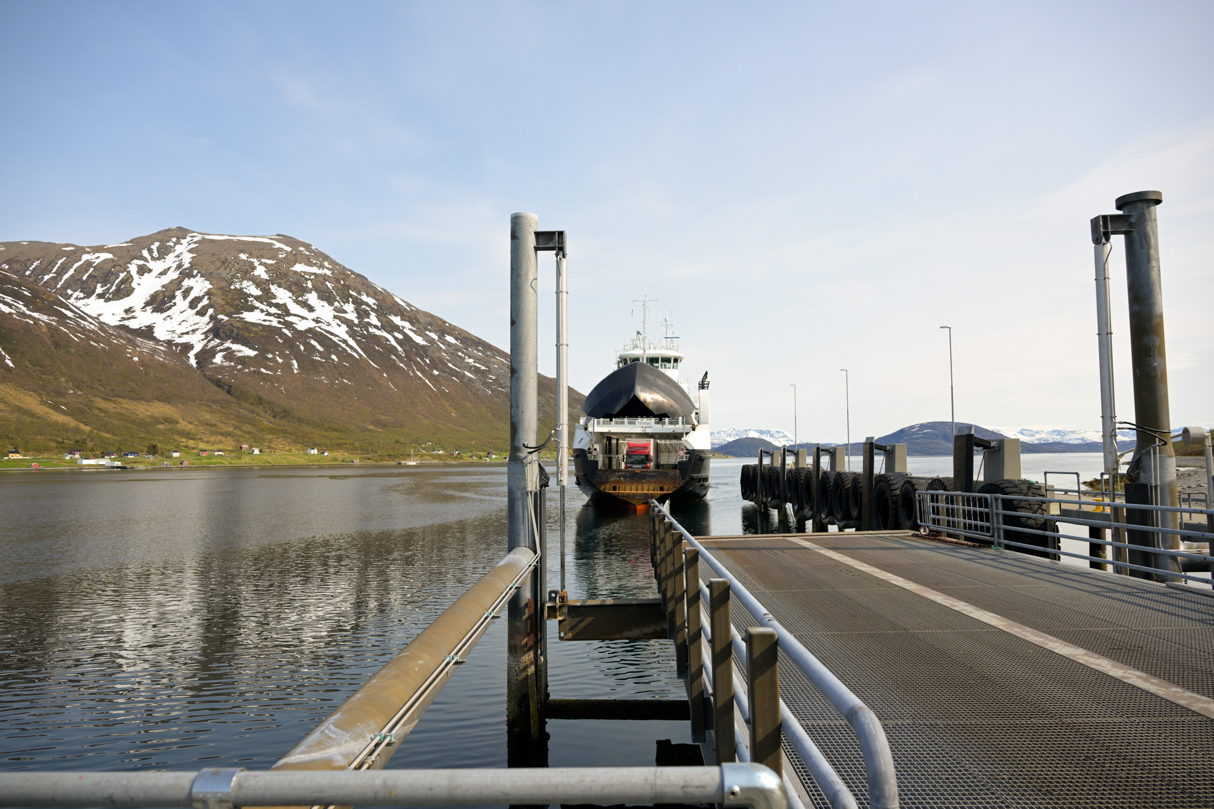
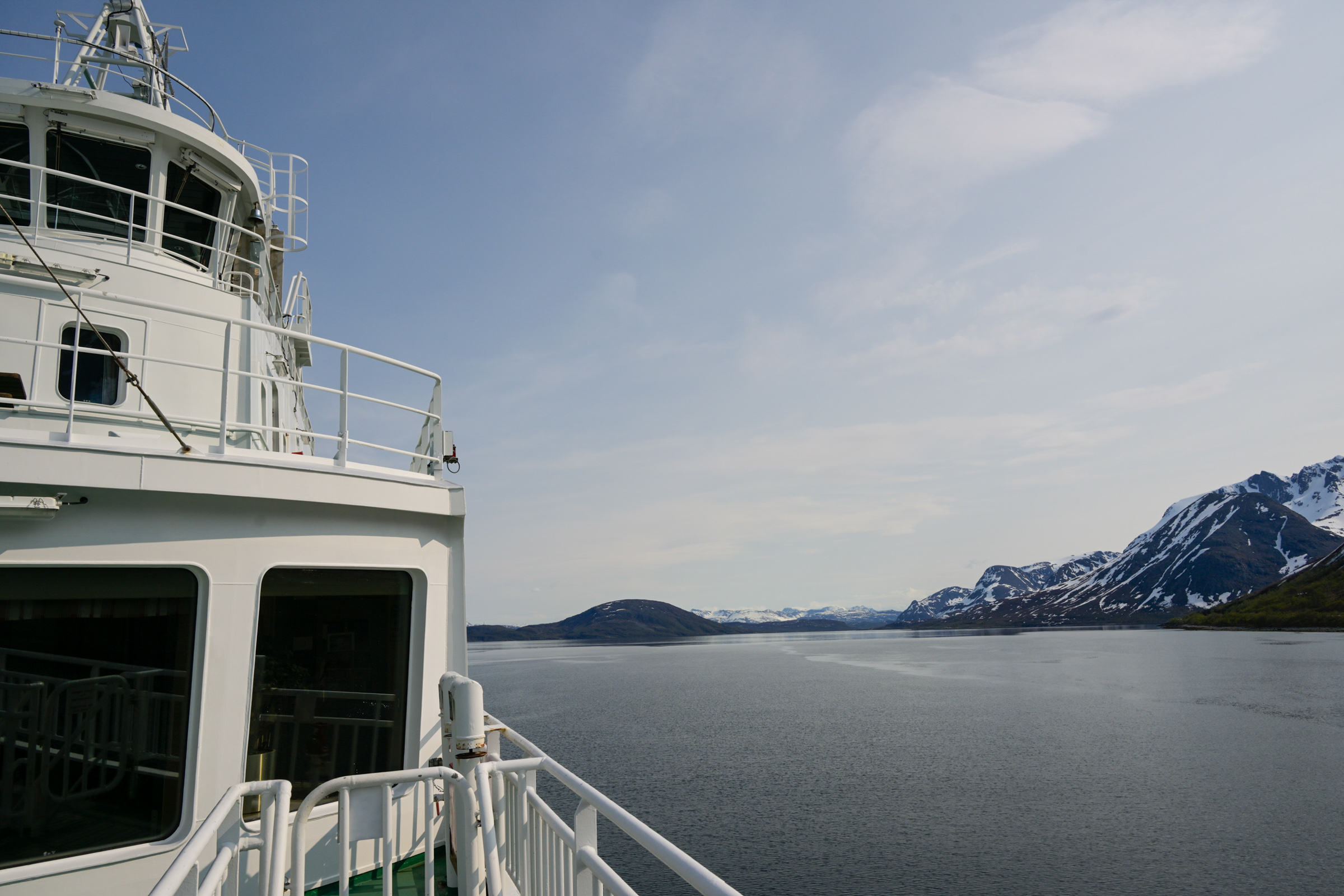
It was a brilliantly sunny day in early June. A late, cold spring was giving way to a warm summer. From the top deck of the ferry, I watched a wall of steep mountains rise, snow still clinging almost down to the sea in places. As we drew closer, a silvery band of calm water opened between the peaks. The Lauksundet narrows separate Arnøya on the left from the smaller island of Laukøya on the right, both perfectly mirrored in the still surface. On board, a handful of passengers spoke quietly over plastic cups of machine-brewed coffee. Calm was everywhere; the world seemed to hold its breath.
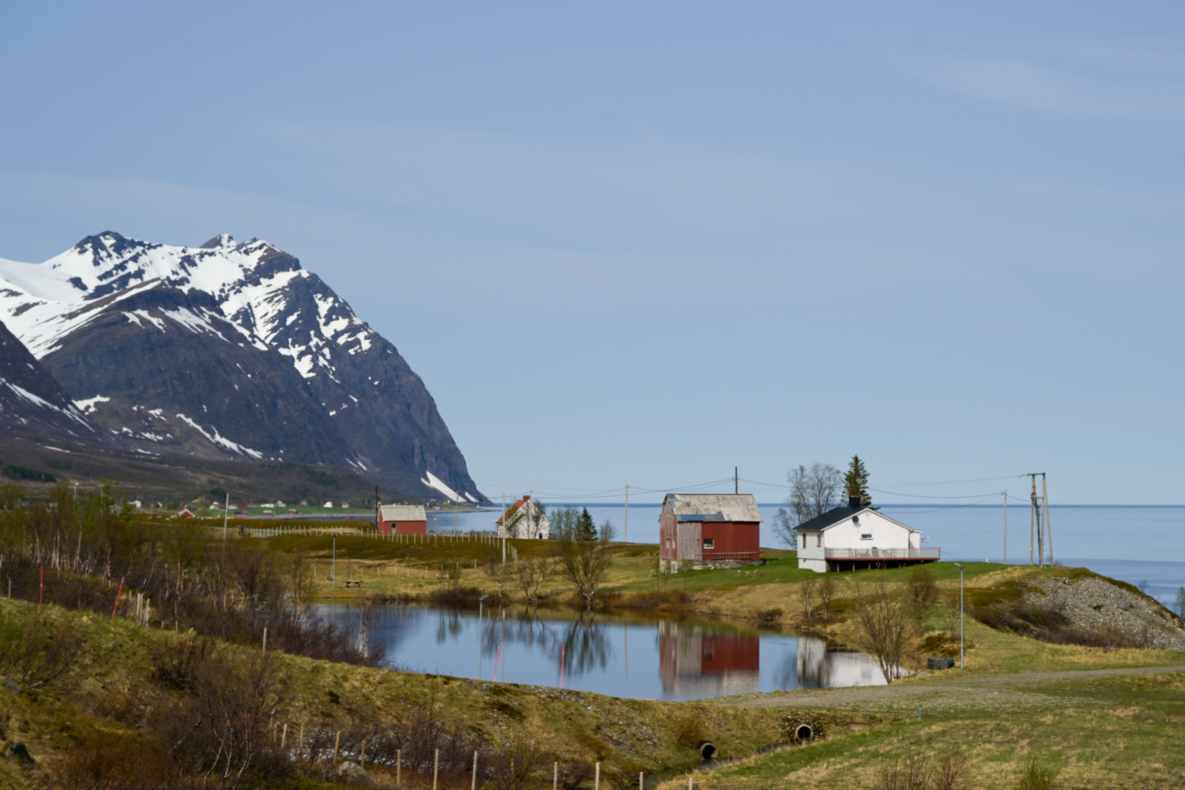
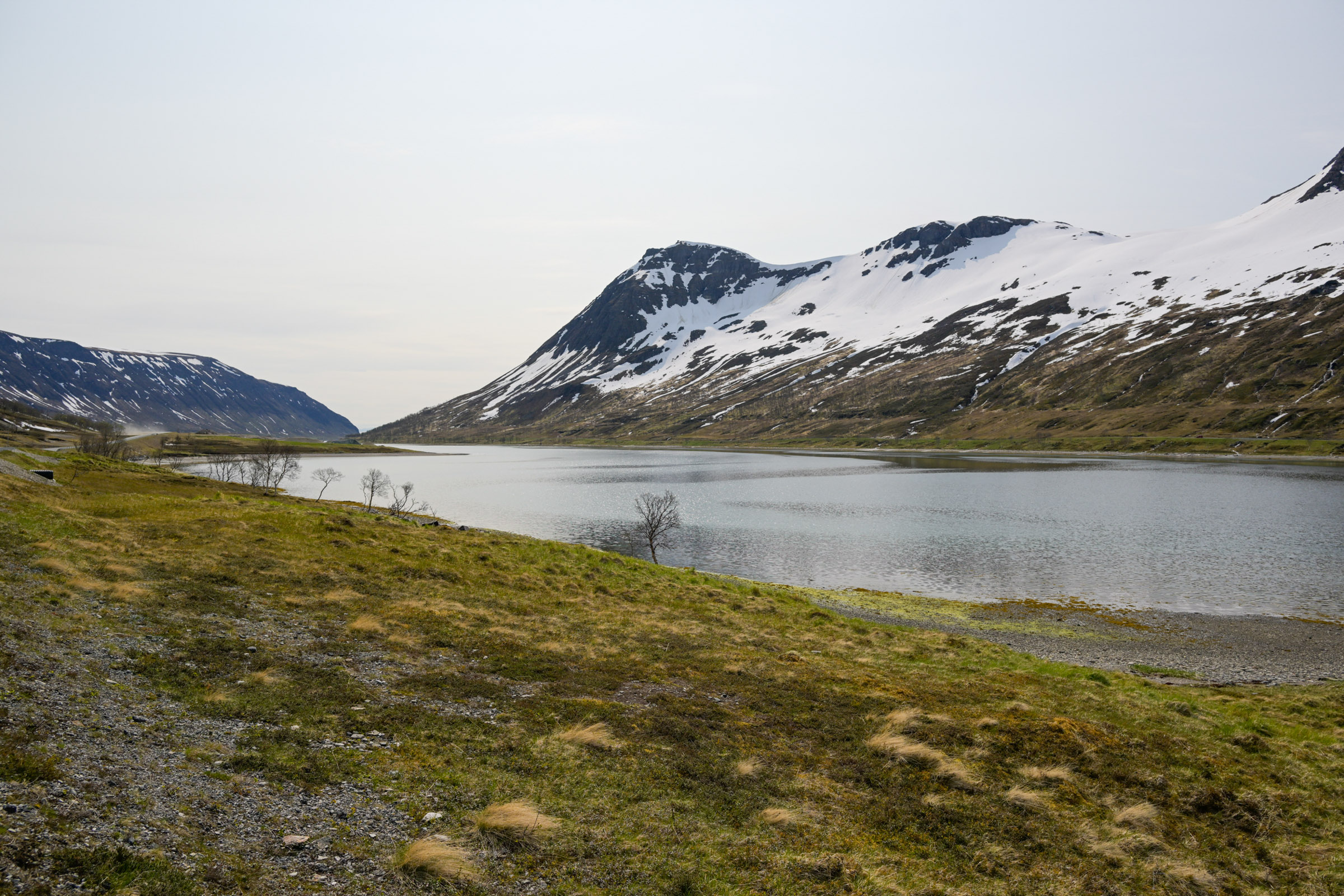
Lauksundet: small farms beneath towering peaks
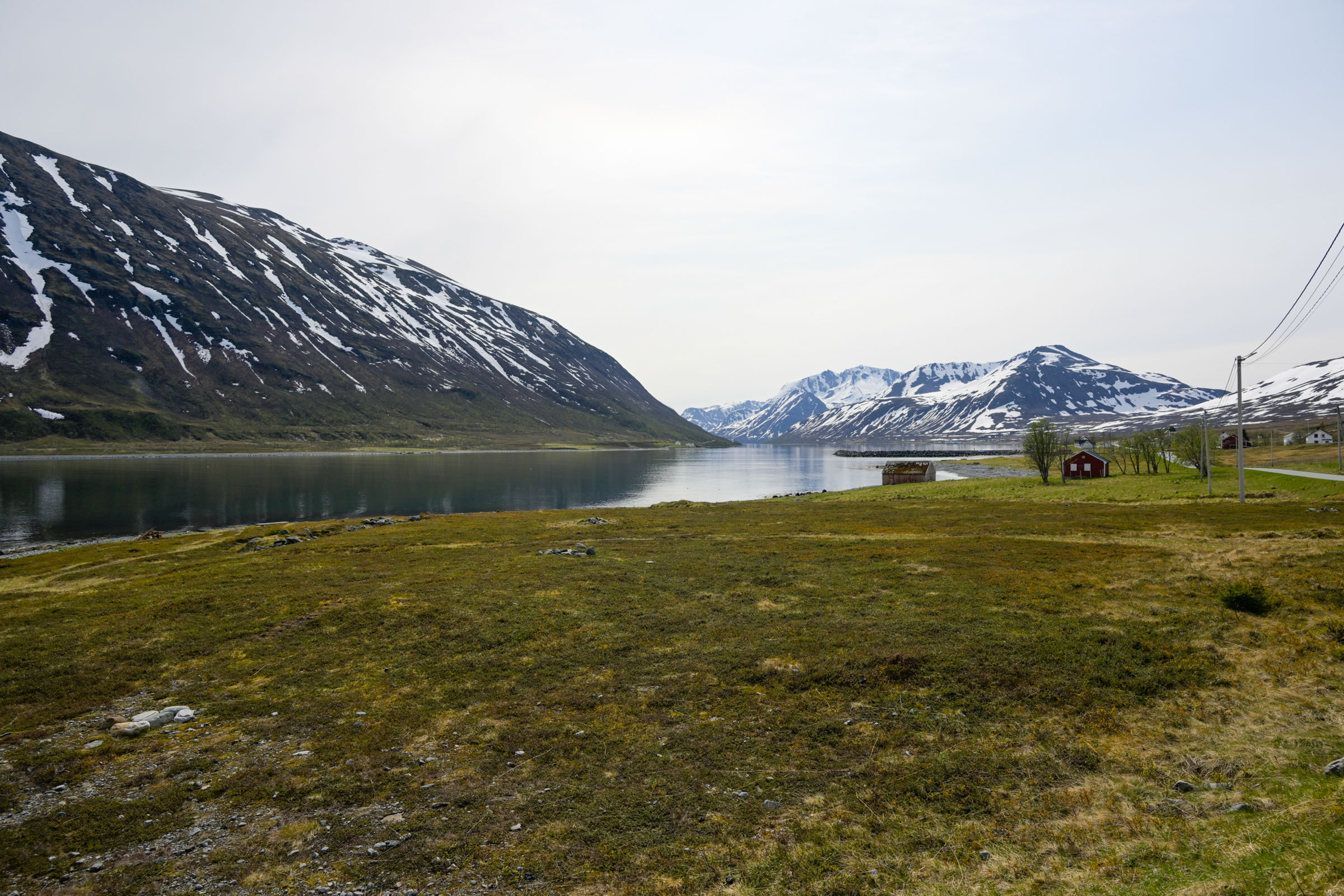
Disembarking from the ferry was quick – both the crew and the locals had done it countless times before. I followed the road along the Lauksundet strait, with Laukøya lying just across the water. On my east-facing side, patches of snow still clung to the slopes; across the strait, the hills were greener, the snowline higher. Farms and houses lay scattered along the shoreline like beads on a string, their low, simple shapes painted in the bright colours of the postwar reconstruction era. My goal was the “Kulturstien,” a heritage trail that rewarded me with an easy walk and wide views across sunlit hills and sea.The south coast is green and friendly
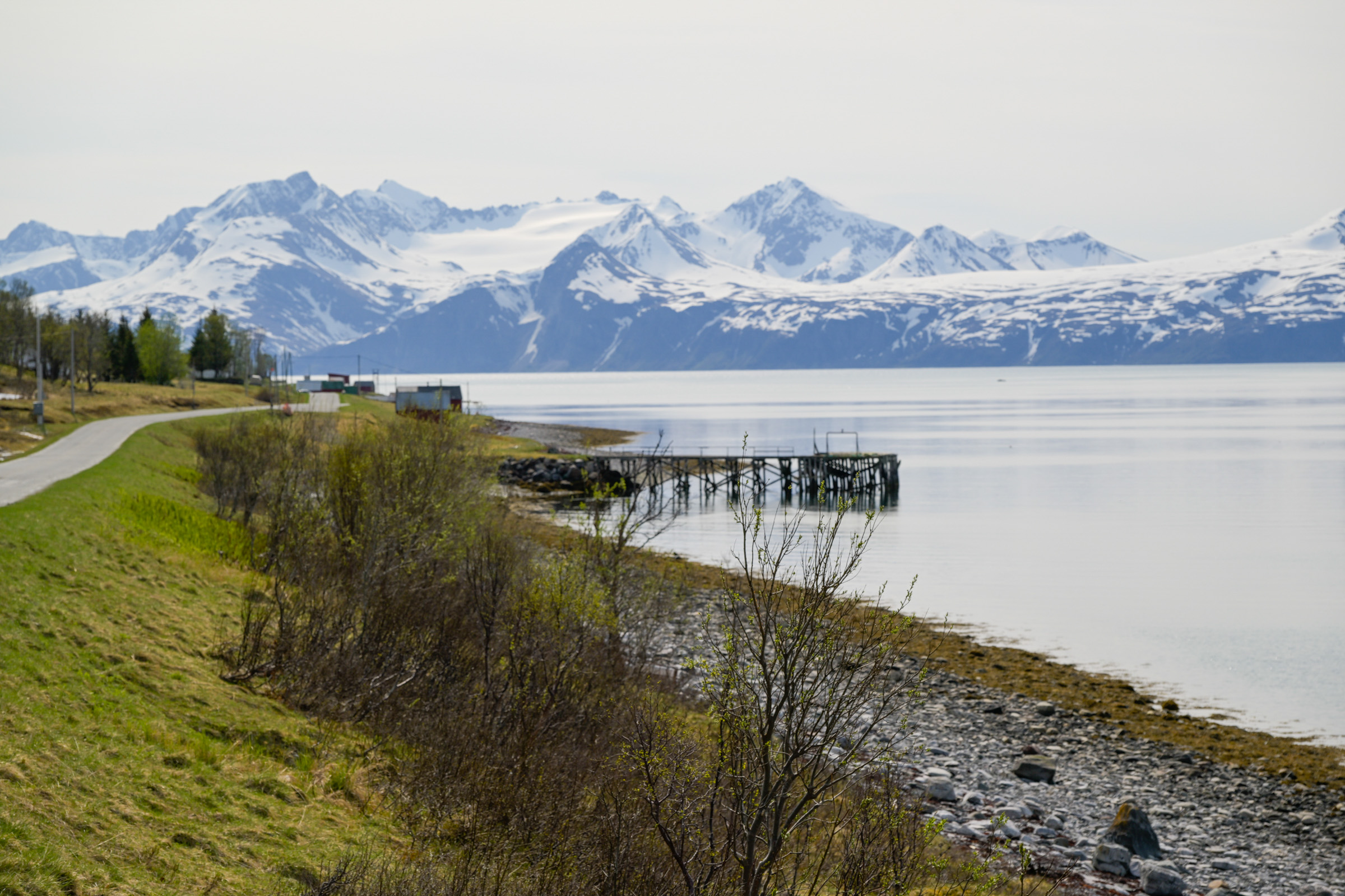
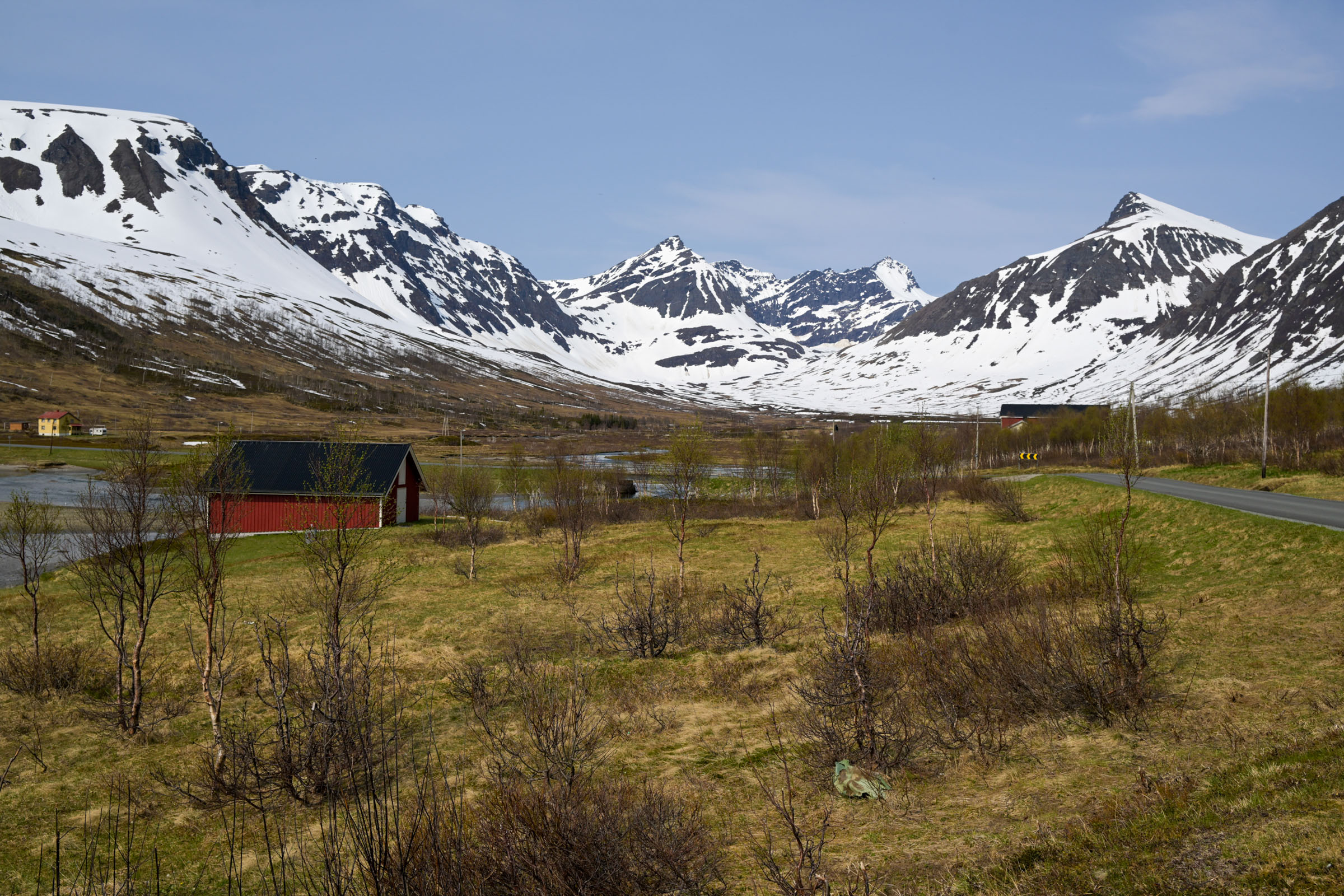
The south coast is the greenest
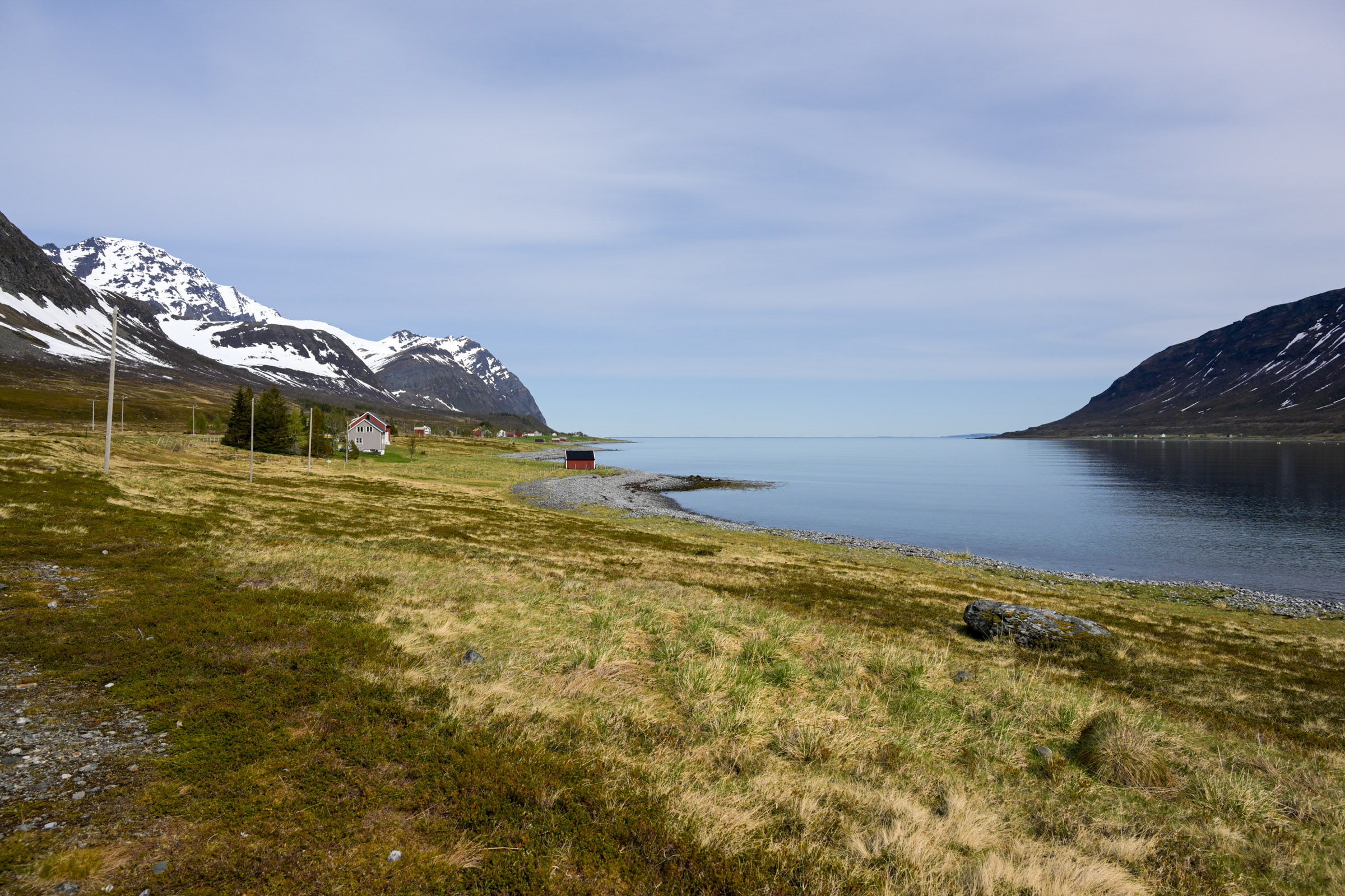
The road network on Arnøya is limited, forcing me to backtrack a few kilometres. The island’s south coast lay bathed in sunlight, with snowy mountains shimmering in the distance. Around the farms and houses, rowan trees were bursting into lush green, and tiny rhubarb leaves unfurled towards the sun. Arnøyhamn, a small south-facing bay with a modest shop and a simple church, felt timeless in the light.
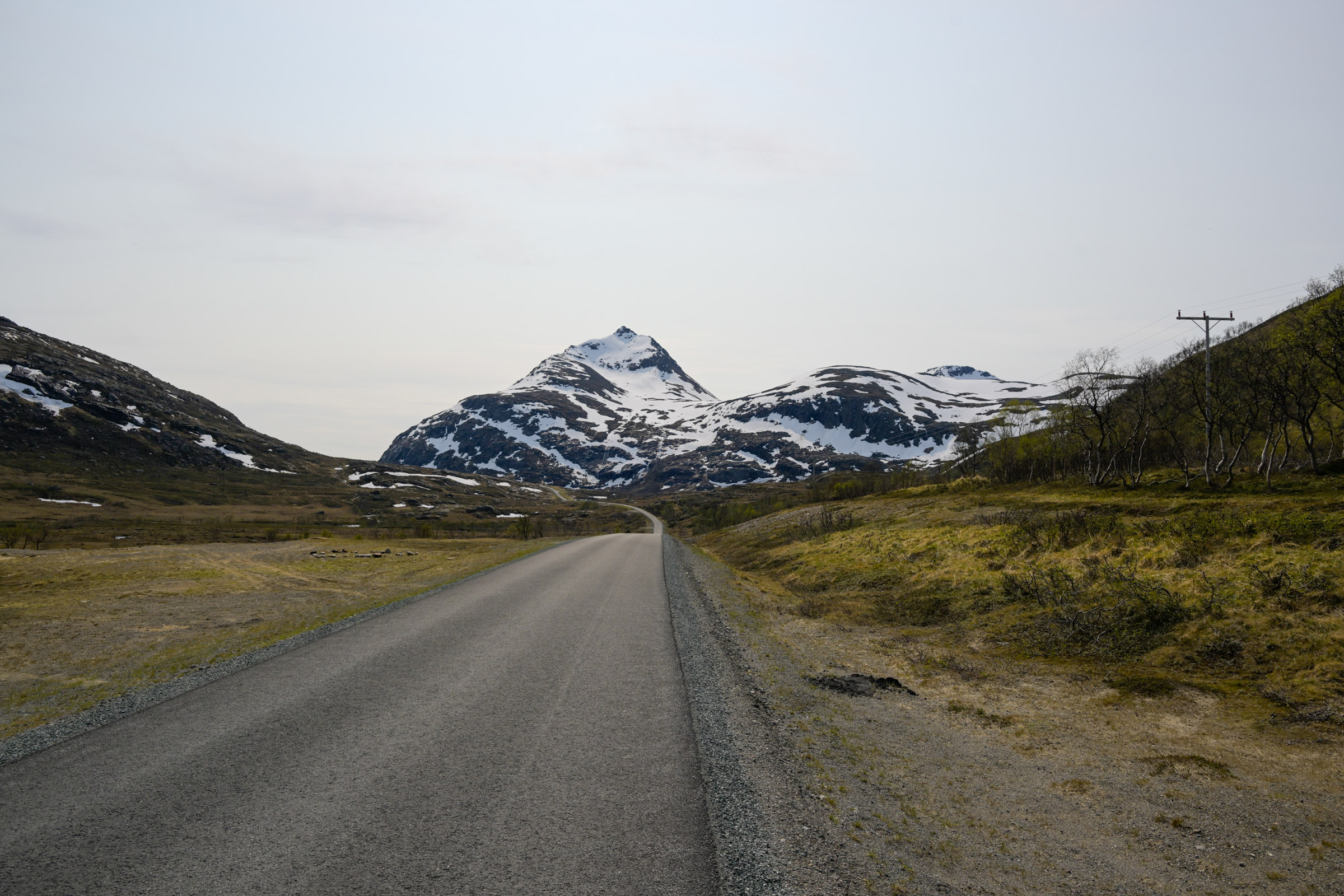
The road led into Langfjorden, the Long Fjord. At its head, it climbed to a plateau with a lake where the last ice was breaking away from the shore. In the warmth of the day, its remaining time was clearly numbered.
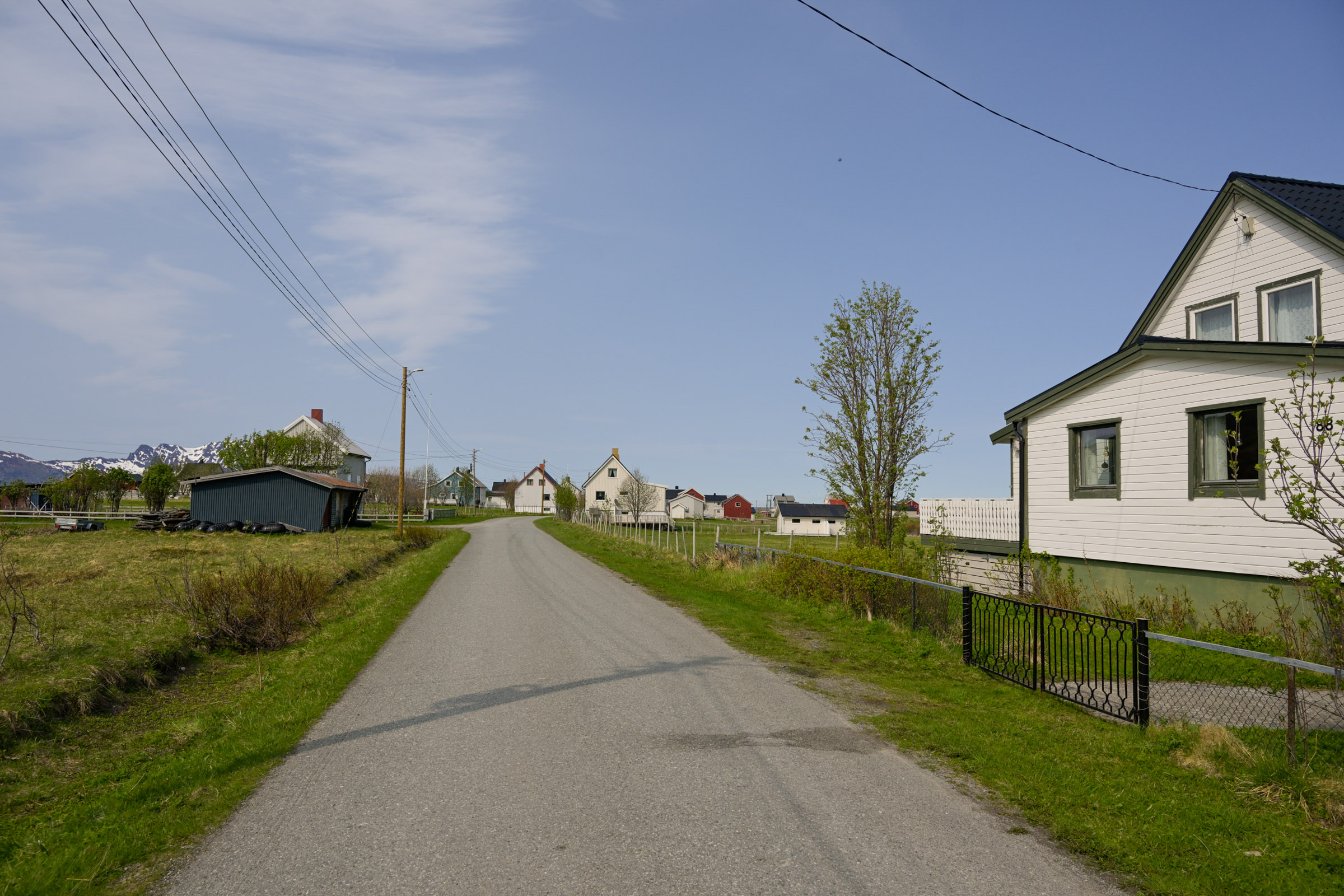
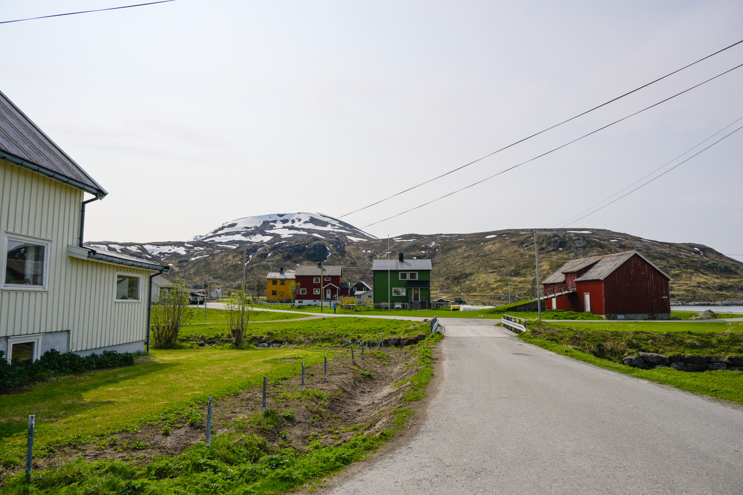
Årviksand is a dense fishing village
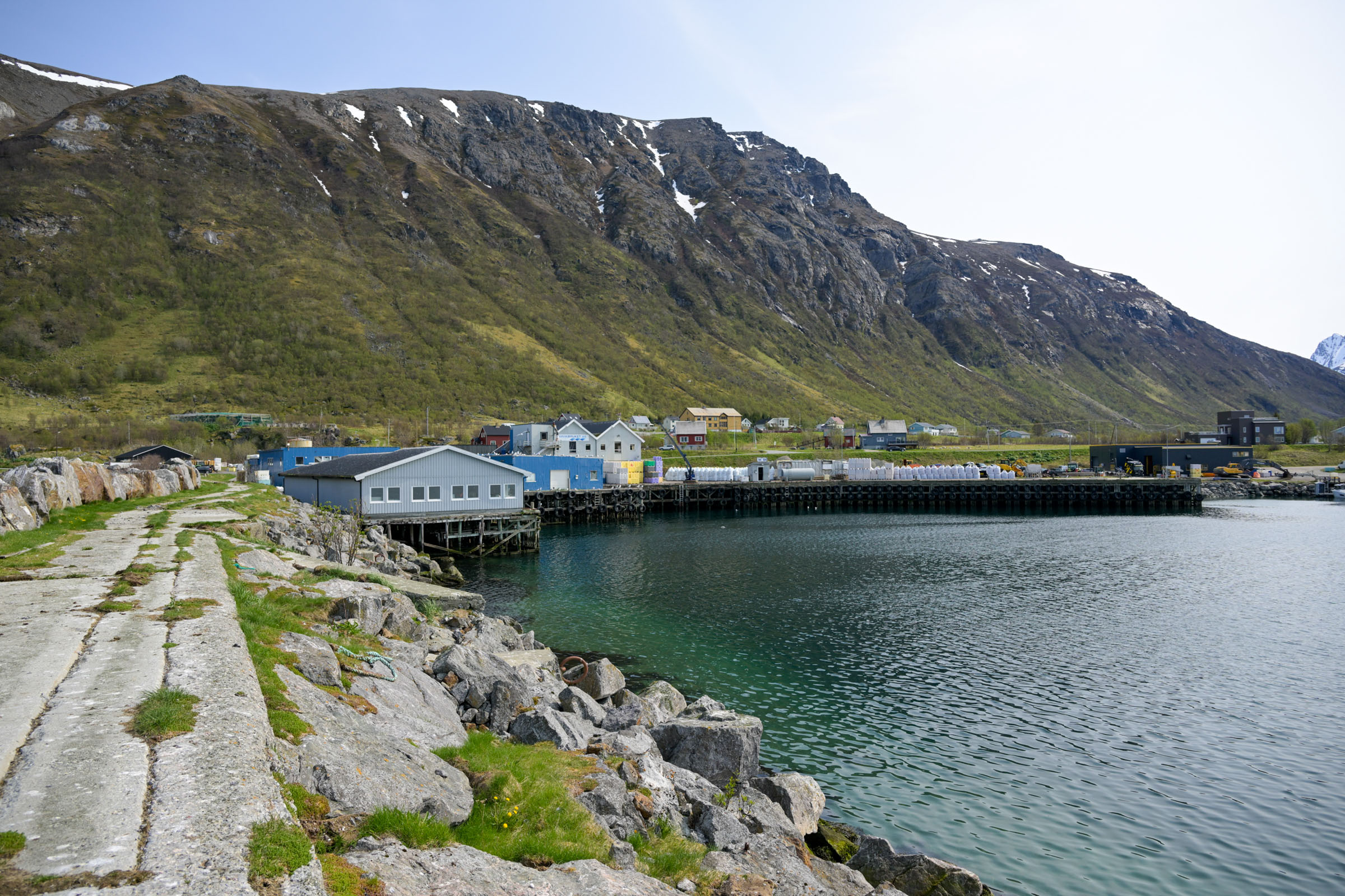
Descending the valley, Årviksand felt distinctly different. Exposed to the ocean, it offered views of distant mountains across the fjord, most strikingly the sheer cliffs of Nord-Fugløy. Beyond it, nothing broke the horizon of the open Atlantic. An imposing breakwater shielded the harbour, though at this time of year there was precious little activity. The colourful, square houses of the reconstruction era stood close together, like a classic fishing village, in contrast to the scattered settlements further south on the island.
I stopped outside the village shop, where a surprisingly cozy coffee corner offered sofas and tables. The shopkeeper helped me pour a cup from the self-service airpot, while a couple of local men held a loud and humorous conversation in the musical local accent. There is a small museum in Årviksand, but I missed it – it only opens during the summer holidays. Here the road ends, and I began my return towards the ferry.
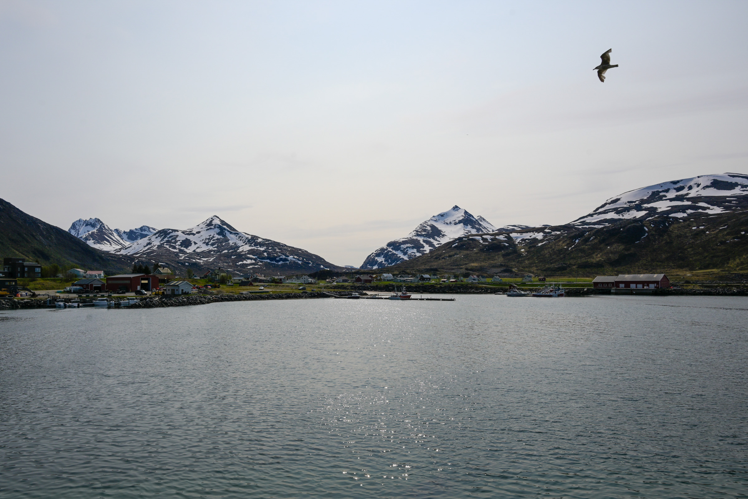
An island off the beaten track
Arnøya (sometimes simply Arnøy) is a fairly large island with a very small population of about 270 inhabitants. It is the largest in a cluster of islands surrounding the regional centre of Skjervøy. The people here make their living from fishing and fish farming, along with a few small industries. Arnøya ranks among the most mountainous islands in Norway, its steep peaks dominating much of the landscape.
The Arnøya Tragedy
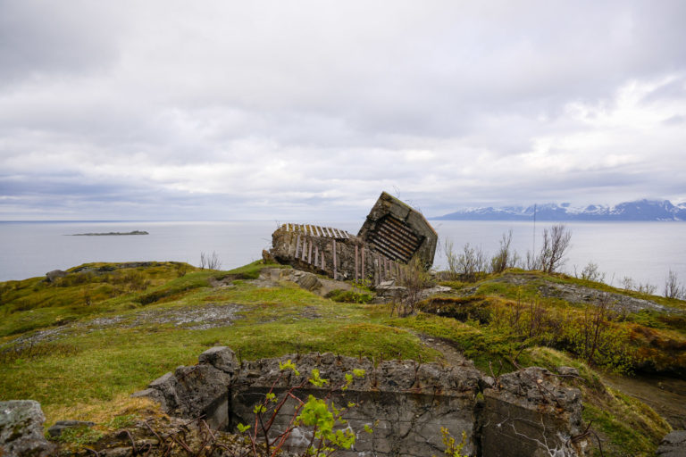
Arnøya is also remembered in Northern Norway for a wartime tragedy in 1943. A member of the Norwegian resistance and a Soviet intelligence agent operated an observation post in Rotvåg, on the island’s remote northern coast, transmitting intelligence to the Soviet Union. The local community supported them with supplies and food. On 28 August, they were discovered, and together with a civilian woman they were killed after offering fierce resistance, inflicting several German casualties.
A reprisal operation followed, and 24 locals were arrested and sent to the Krøkebærsletta concentration camp in Tromsø. On 23 October 1943, eight of them were shot in a forested area near the city. In 1945, their remains were reburied in Tromsdalen cemetery, where it was later discovered that some had still been alive when placed in the mass grave.
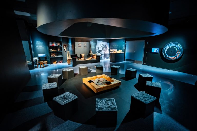
Include an easy hike to your visit
I followed the “Kulturstien” – the Culture Trail – from the northern end of the road at Lauksundet. It was an easy walk, with information boards on geology and archaeology along the way, but the view of the blue fjord and distant mountains was just as striking.
Another recommended hike starts in Årviksand and leads up to the old power station, which was destroyed during the German withdrawal in the autumn of 1944. The trail is straightforward, offering fine scenery and views of Årviksand below.
The hike to Rotvåghula is a whole-day project
The Arnøya Tragedy forms the theme of this hike. The trail follows the coast from Årviksand to the Rotvåghula cave, where the wartime observation post was located. Some sections are easy, while others are very rough and secured with ropes. As a day trip, you return the same way. Campers can continue to Nord-Rekvik, an abandoned fishing village, and from there back inland to Årviksand, with opportunities to camp along the route.
Another coastal hike in far gentler terrain leads from Akkarvik on the island’s southwestern tip towards Geitvika, an abandoned hamlet with houses rebuilt after the destruction of World War II. The path follows the shoreline as a tractor track or well-trodden trail. From Geitvika you may continue towards Sotneset, extending the walk.
Climbing the peaks of Arnøya
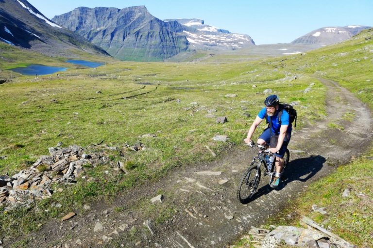
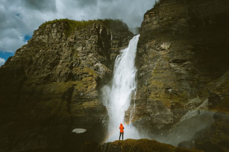
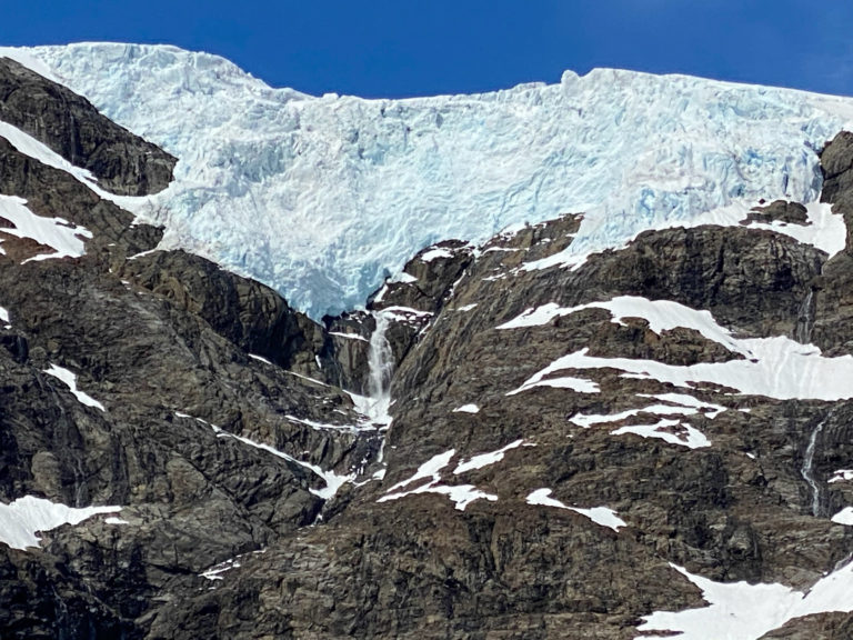
Arnøya is among the most mountainous islands in Norway, with no shortage of steep hikes leading to majestic peaks and commanding views. Arnøyhøgda, rising 1,170 metres on the island’s eastern side, is a full-day undertaking. A short section near the summit is exposed and not suitable for those with vertigo.
Mount Trolltinden, at 870 metres, is altogether easier. Located on the southwestern side of the island, a service road leads up to the TV mast at the summit. From the top, it is said you can see seven parishes.
Good to know about Arnøya island
Arnøya is an island of 276 km2 with some 260 inhabitants. It is found in the municipality of Skjervøy, between Tromsø and Alta.
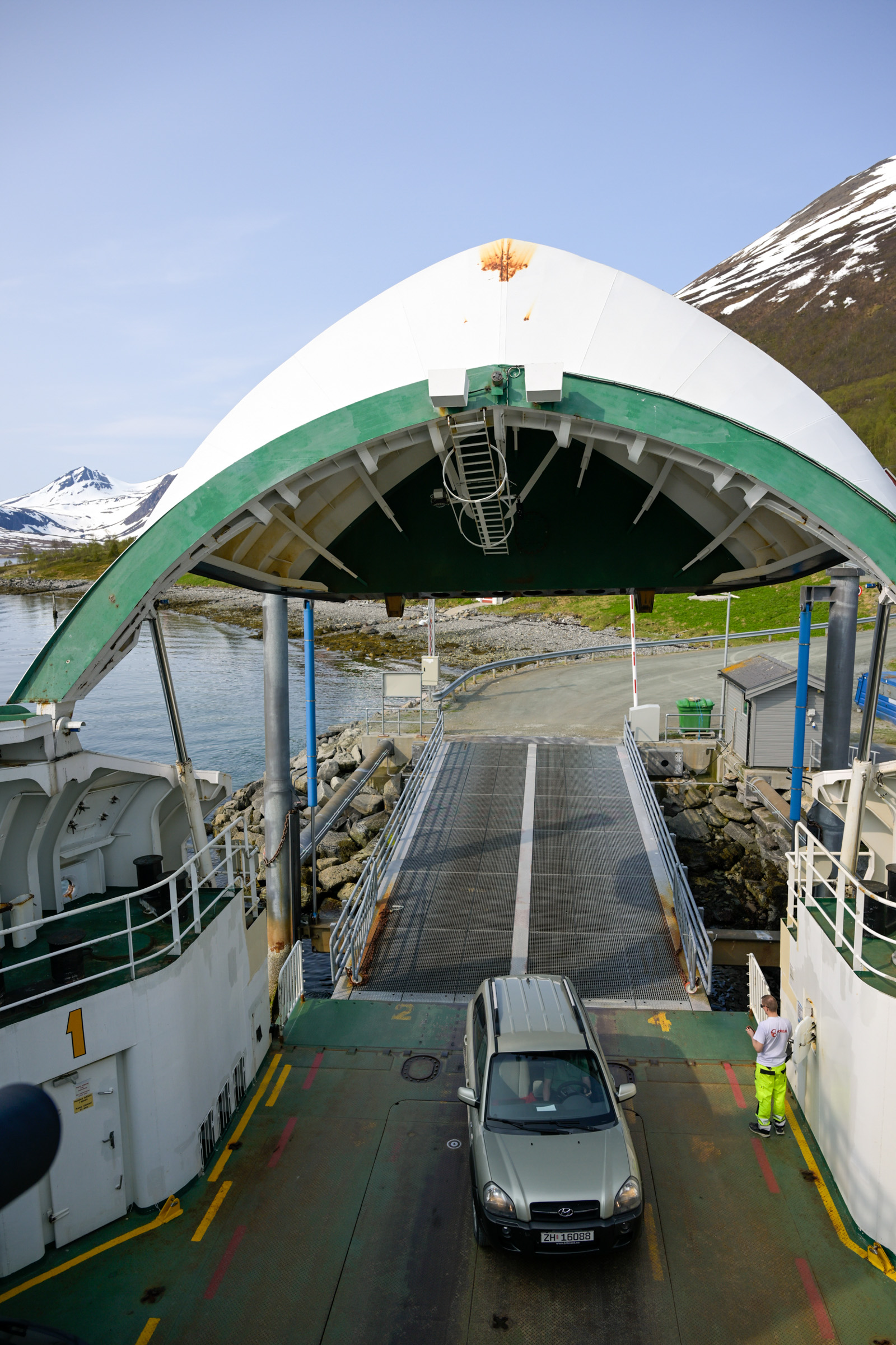
Arnøya has a car ferry from Storstein near Skjervøy to Lauksundskaret – a ferry dock on Arnøya’s eastern side. This car ferry also serves Nikkeby on neighbouring Laukøy island. Driving distance from Tromsø is 165 km if you take the shorter route, including two ferries, or 250 km if you drive around Nordkjosbotn. Both alternatives should take you 4-4,5 hours. Furthermore, the catamaran boat between Tromsø and Skjervøy calls at Arnøyhamn.
Consult the website of Visit Lyngenfjord, the local visitor’s centre. There are a couple of cozy, simple places to stay – including self catering.
Visit Lyngenfjord, the regional visitors’ centre, has good information on their website.
Well.. in fact there are no cafes or restaurants on the island. When the local shops are open, you can sit down and have a simple cup there. Otherwise it is self catering if you’re staying the night or a packed lunch.