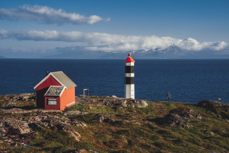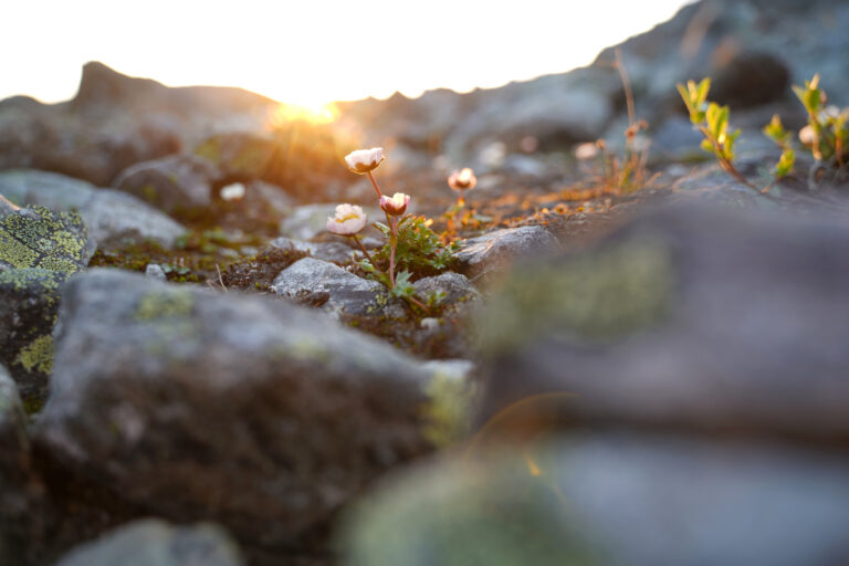
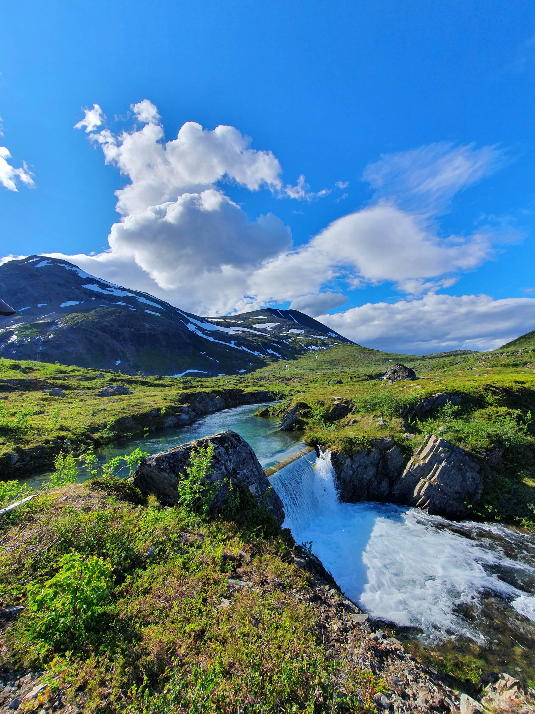
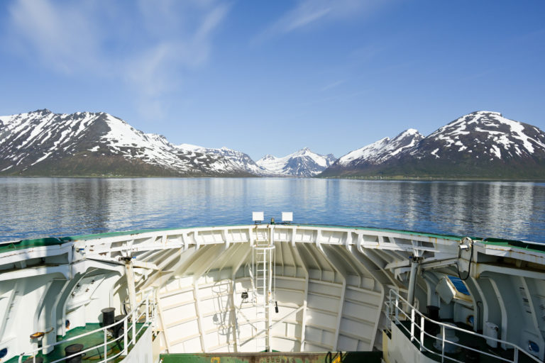
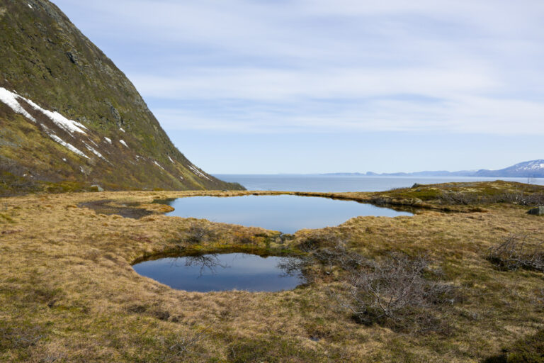
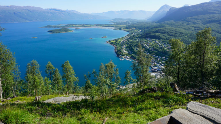
The walk to the lake is rewarding from the very beginning. The coastal landscape is open yet surprisingly lush, and the ground underfoot is soft. The jagged peaks of Kågen rise behind you, while to the north the steep mountains of Laukøya drop straight into the sea. To the east, beyond the green forests of Skjervøy, the sharp silhouettes of the Kvænangen Alps appear in the distance.
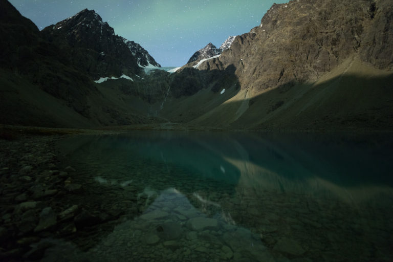
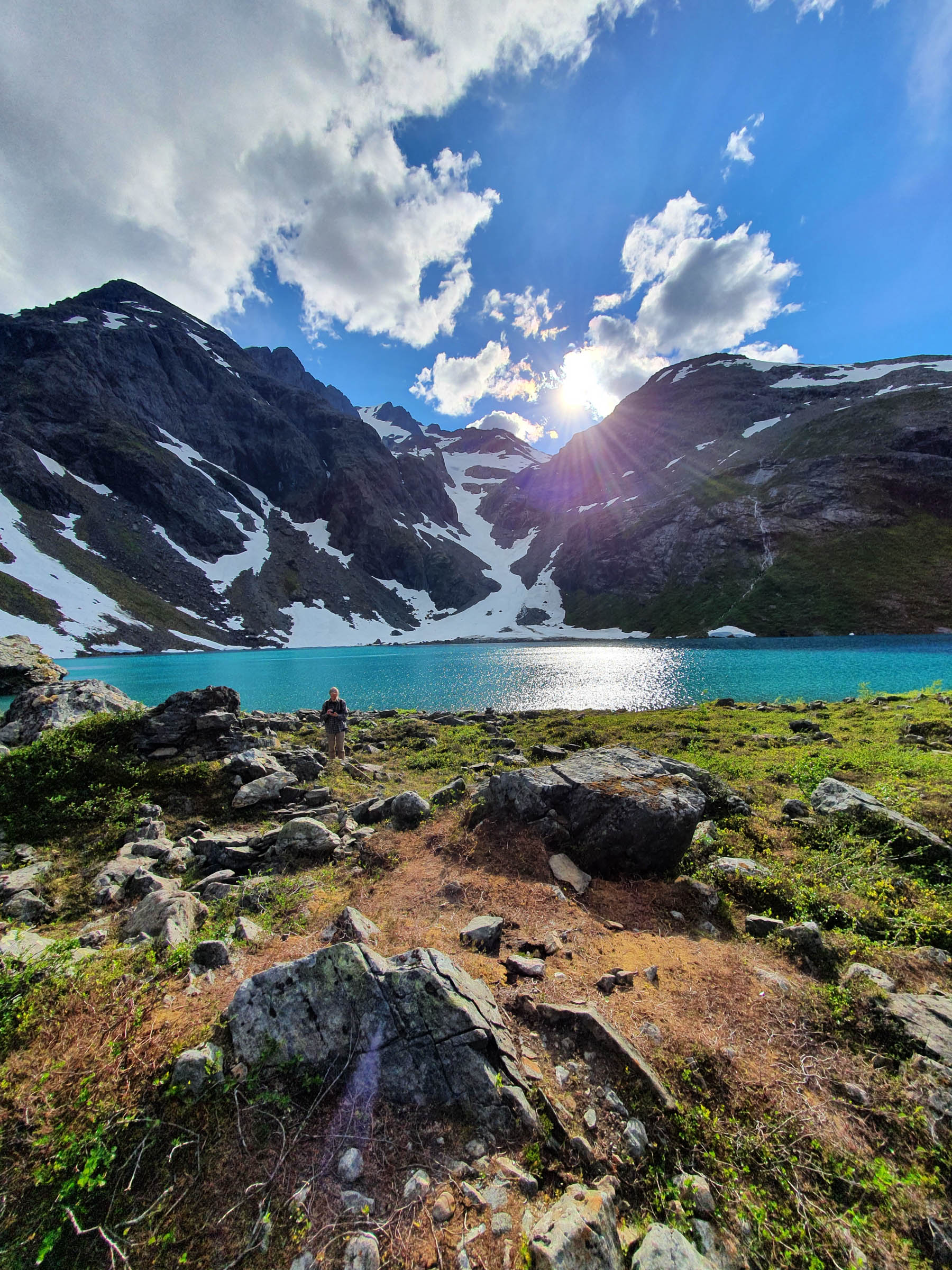
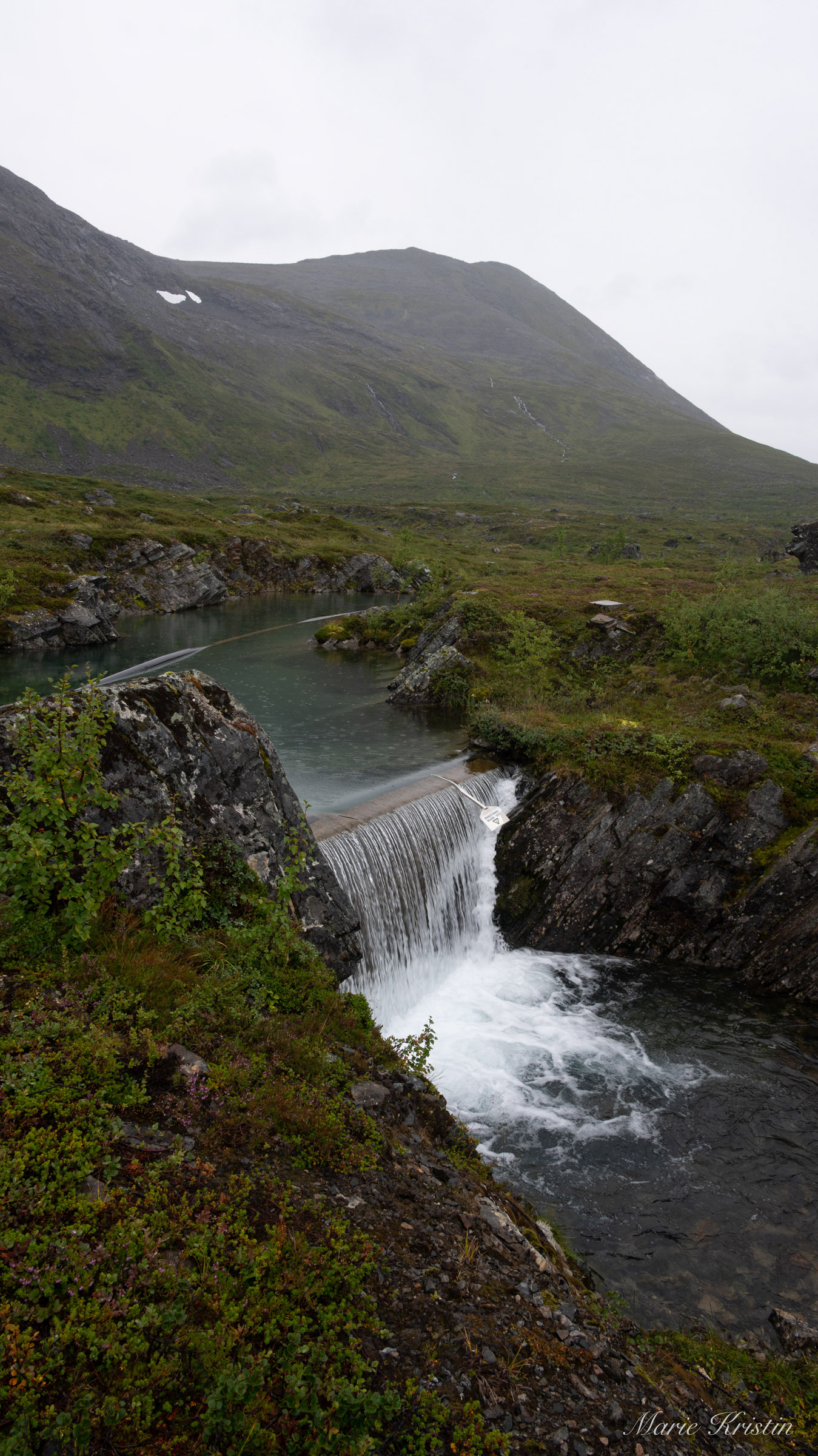
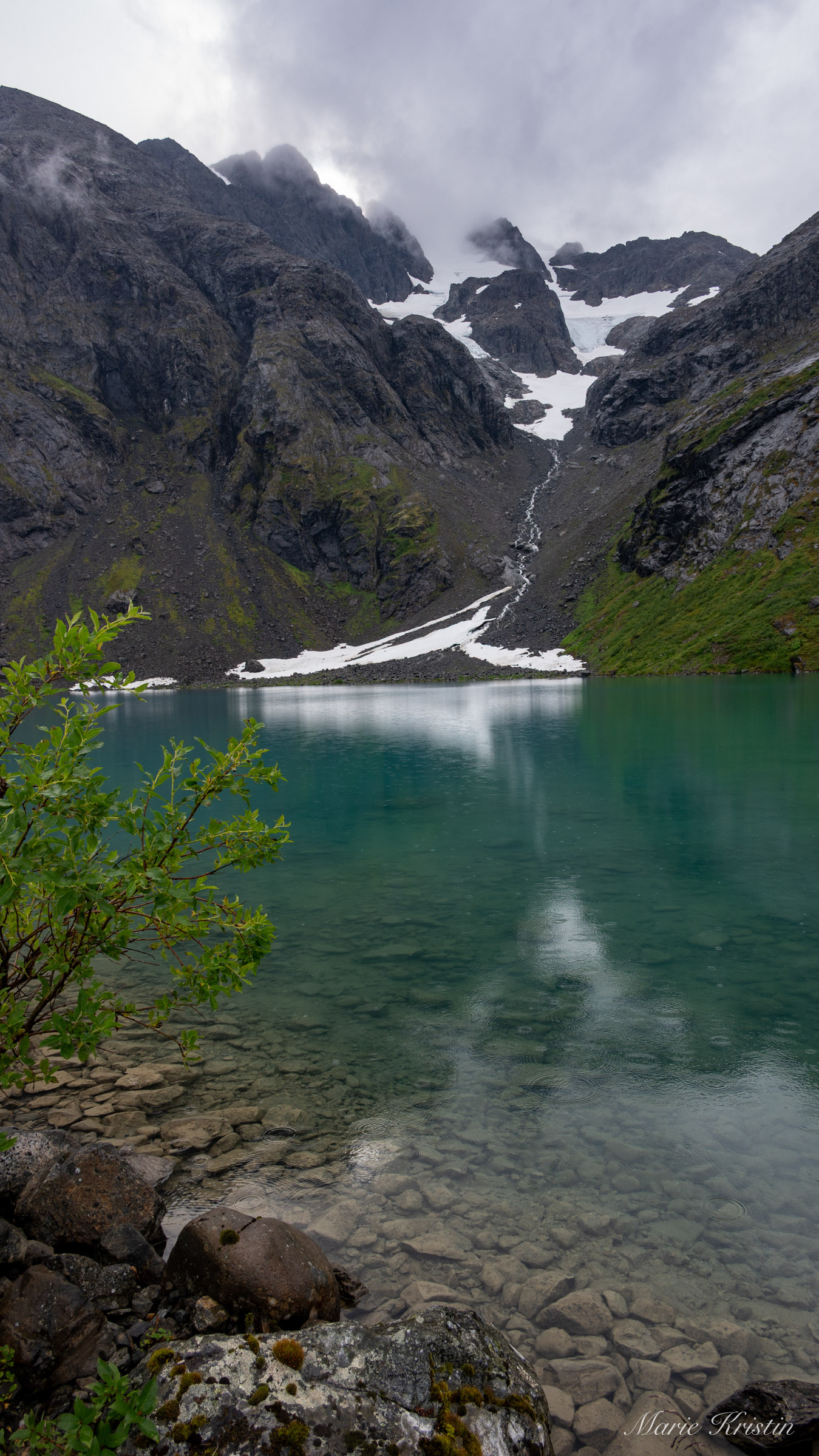
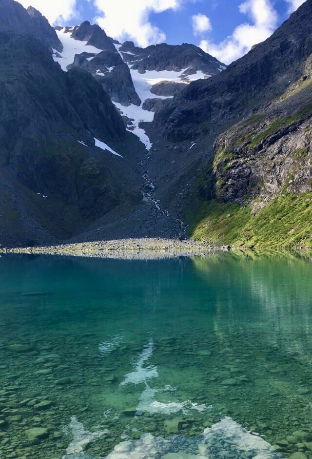
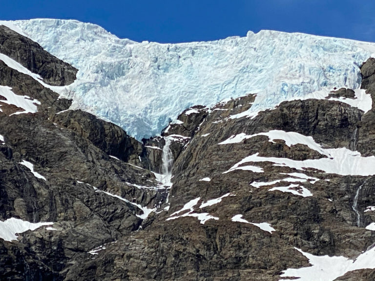
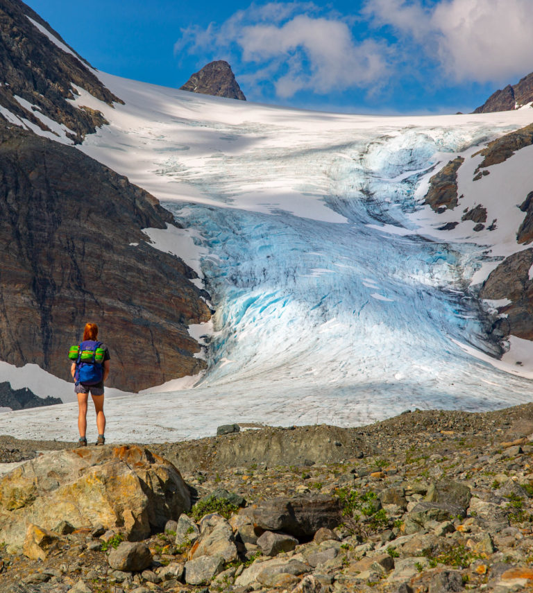
The highlight reveals itself only at the very end: a still mountain lake surrounded by pointed peaks, with the Kågtind glacier appearing between them. A rocky ravine carries pale glacial water down through the landscape before disappearing into a vast field of boulders. Moss and lichen soften the edges only slightly, and sound carries sharply between the stones. Yet it is the colour that surprises most — deep green, only partly transparent because of fine particles from the glacier, with large rocks visible on the lakebed below.
Where summer never fully settles
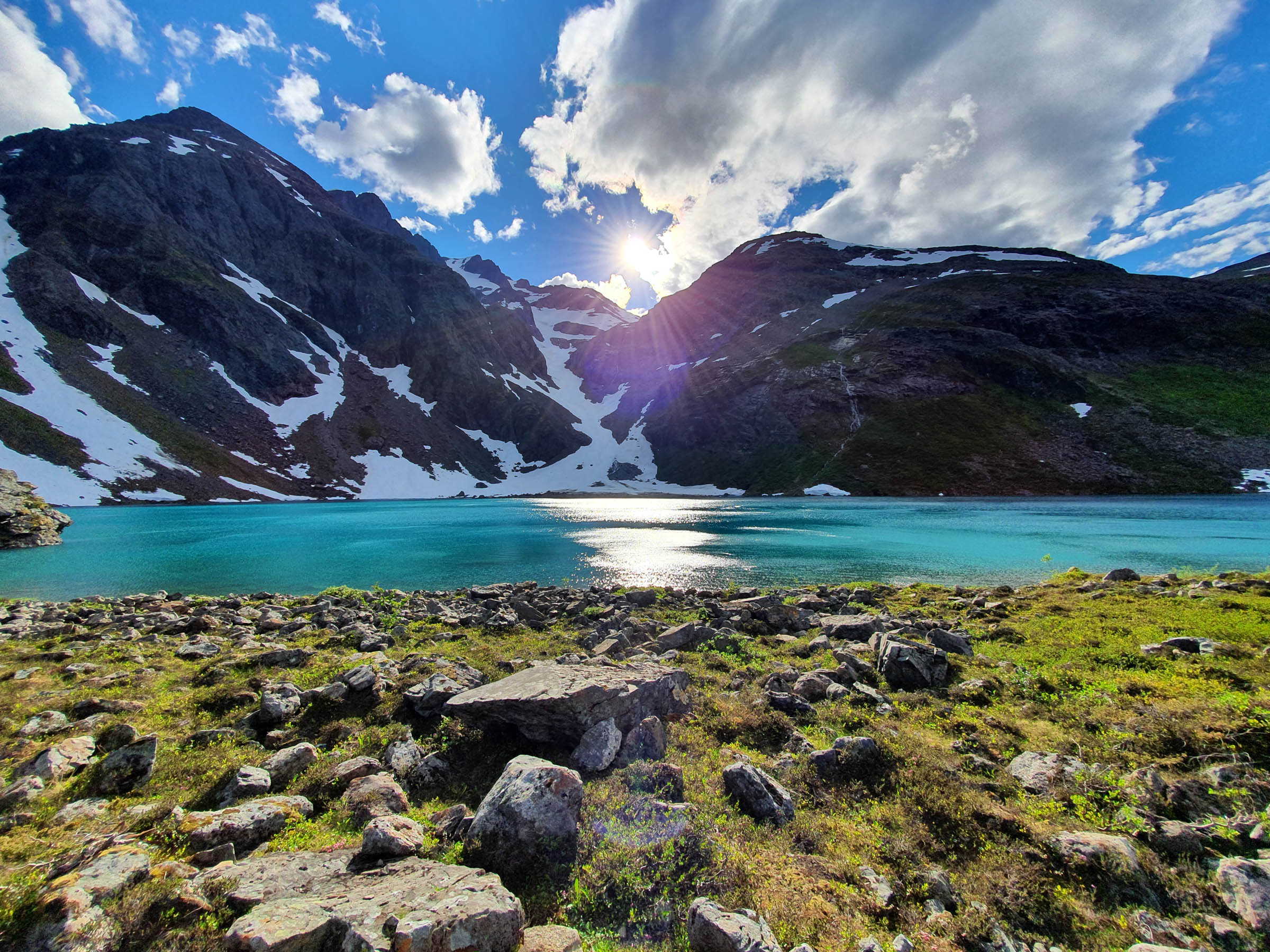
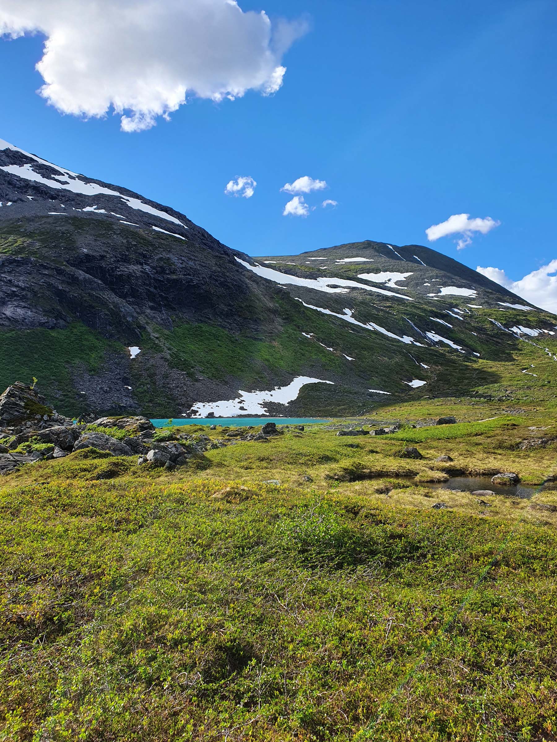
The atmosphere here changes with the weather, the season and the time of day. On a clear morning in June, the mountains reflect in water so turquoise it almost feels unreal, closer to the Caribbean than the Arctic, while lingering snow still reaches down towards the shoreline. On a damp September day, with mist hanging in the air, the lake turns darker and more mysterious — something closer to a northern myth than a summer postcard.
Snow can fall on the peaks even in mid-July, and by September a light dusting against dark, wet rock is almost guaranteed. In late summer, long shadows stretch across the mountainsides as the sun drops lower. Isbuktvannet is far from an easy sunshine walk. Spring arrives later here, autumn comes early, and the lake often remains frozen well into June. Even on fine summer days there is something raw and slightly heavy in the air — beautiful in its own way. Geologists are perhaps the happiest visitors; the landscape feels like a chapter from a textbook on the Ice Ages brought to life.
Why is the water green?
The colour of Isbuktvannet comes from the glacier above. As the ice moves, it grinds the bedrock beneath it into extremely fine mineral particles, often called glacial flour. Meltwater carries these particles into the lake, where they remain suspended for a long time before settling.
These tiny particles affect how light moves through the water. Red and yellow wavelengths are absorbed quickly, while blue and green light is scattered back towards the eye. This gives the lake its distinctive green or turquoise appearance, especially on clear days when the sun is low and light reaches the water from the side. The colour changes throughout the season, depending on meltwater flow and the quality of light.
A manageable walk
The walk to Isbuktvannet starts at the ferry dock area by the ferrydock at Storstein on Kågen. From here, a clear path leads gently upwards through open terrain. The ascent is steady, and the ground alternates between trail, heather and wetter sections, particularly after rain or during snowmelt. Vegetation remains low and open throughout.
The distance makes the walk suitable for most people with average fitness. From the parking area it is roughly three kilometres to the lake, which lies about 130 metres above sea level.
The usual season runs from late spring to autumn. Snow patches may linger early in the summer, and ice often remains on the lake well into the season. In autumn the ground can be wet and slippery, so proper footwear is recommended, even though the walk itself is not technically demanding.
There are no facilities at the lake, and the area is best experienced on nature’s terms. Bring something warm to drink, find a large rock to sit on, and leave no trace behind.

When someone knows the way
Isbuktvannet is part of several stories. The story of ice shaping the landscape through repeated ice ages, with water polishing, carrying and eroding the land. And the story of people who once moved through this area for hunting and reindeer herding. Local guides from Explore 70° Degrees also organise walks to the lake. Walking with someone who knows the landscape often adds another dimension to the experience. The landscape reveals its layers along the way.
For those heading higher
The mountains surrounding Isbuktvannet are among the most distinctive on Kågen. Store Kågtind (1,228 m) is the island’s highest peak and one of the highest mountains on an island anywhere in Norway. The ascent is long and demanding, rising directly from sea level, and is considered a route for experienced hikers.
Nearby lie Søndre Kågtind and several peaks within the Kågtind massif, offering steep and alpine terrain. Further south on the island, Storsandnestind (1,097 m) is another well-known objective in both summer and winter. Many of Kågen’s mountains are popular with experienced ski tourers, as the terrain rises straight from the fjord and allows for long, continuous descents in good conditions.
Getting to Skjervøy
The walk is located on the island of Kågen in Skjervøy municipality. It is reached via a 29-kilometre detour from the E6 at Indre Ravelseidet, including a tunnel beneath Maursundet. The town of Skjervøy lies about 5–6 kilometres further on, across the Skattørsundet Bridge.
Visitors travelling by car can stop at the designated parking area on the Kågen side of the bridge and start the walk directly from there. Buses run from both Tromsø and Alta to Skjervøy, with a change at Indre Ravelseidet, and it is possible to get off at the same parking area. Skjervøy is also connected to Tromsø by express boat and is a port of call for the coastal ferry Hurtigruten. The town offers cafés, restaurants, pubs and several accommodation options. And a floating sauna irresistible to sauna friends.

About Lake Isbuktvannet and Skjervøy
Isbuktvannet is a glacial lake located on the island of Kågen in Skjervøy municipality, Northern Norway. The area lies along the coast between Tromsø and Alta, facing the open waters of the Arctic Ocean. The hike starts at the Storstein ferrydock near Skjervøy.
Skjervøy is a small coastal town in Northern Troms, roughly halfway between Tromsø and Alta. The municipality consists of several islands surrounded by steep mountains rising directly from the sea. Skjervøy is known for fishing, winter whale watching and accessible mountain hiking.
By car, follow the E6 north to the junction at Indre Ravelseidet, then continue approximately 29 kilometres towards Skjervøy. The drive takes around three hours. There are also bus connections from Tromsø, as well as an express boat service.
From Alta, follow the E6 south to Indre Ravelseidet and turn off towards Skjervøy. The drive takes about two hours. Bus connections are also available between Alta and Skjervøy.
The trail begins at the parking area at Storstein on the island of Kågen, northwest of Skjervøy. A clear path leads from the parking area towards the lake.
The hike is approximately 3 kilometres one way, with a steady but moderate ascent. It is suitable for most visitors with average fitness, although sections of the trail can be wet.
The usual hiking season runs from late spring to autumn. Ice may remain on the lake well into early summer. Summer offers bright light and clear colours, while autumn brings stronger contrasts and a more dramatic atmosphere.
No. There are no facilities or services at the lake. Visitors should bring food, drinks and suitable clothing, and follow leave-no-trace principles. Cafés, restaurants and accommodation are available in Skjervøy.
Visit Lyngenfjord is the local visitor’s organisation, and informs compresensibly on their well-stocked website.
A guided tour can be booked at Explore 70 Degrees, or at Visit Lyngenfjord.
Oh, plenty of hikes in the Lyngenfjord area, click here for an overview.