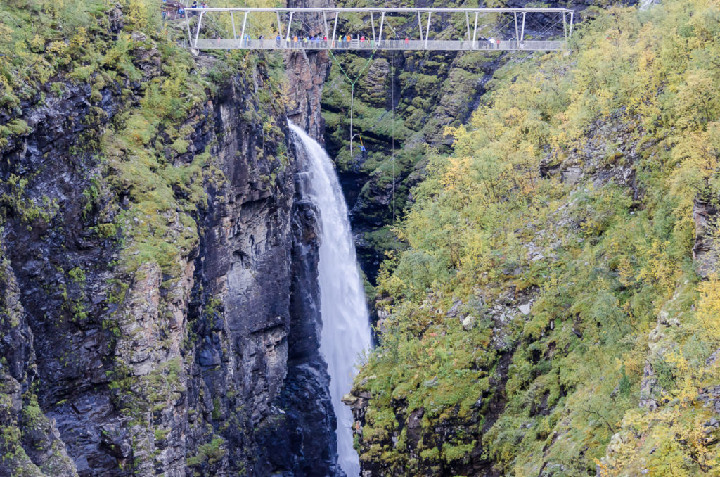
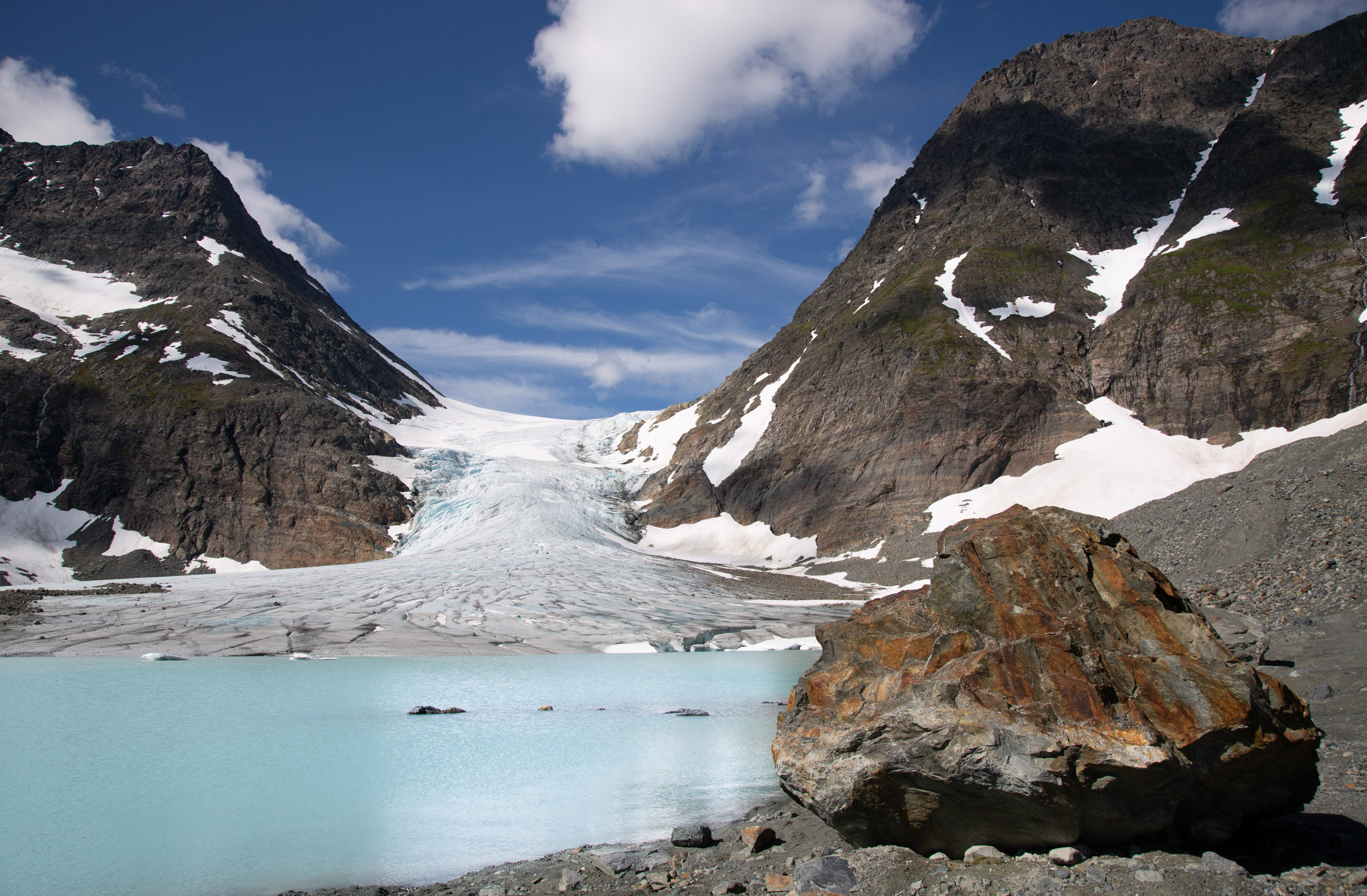
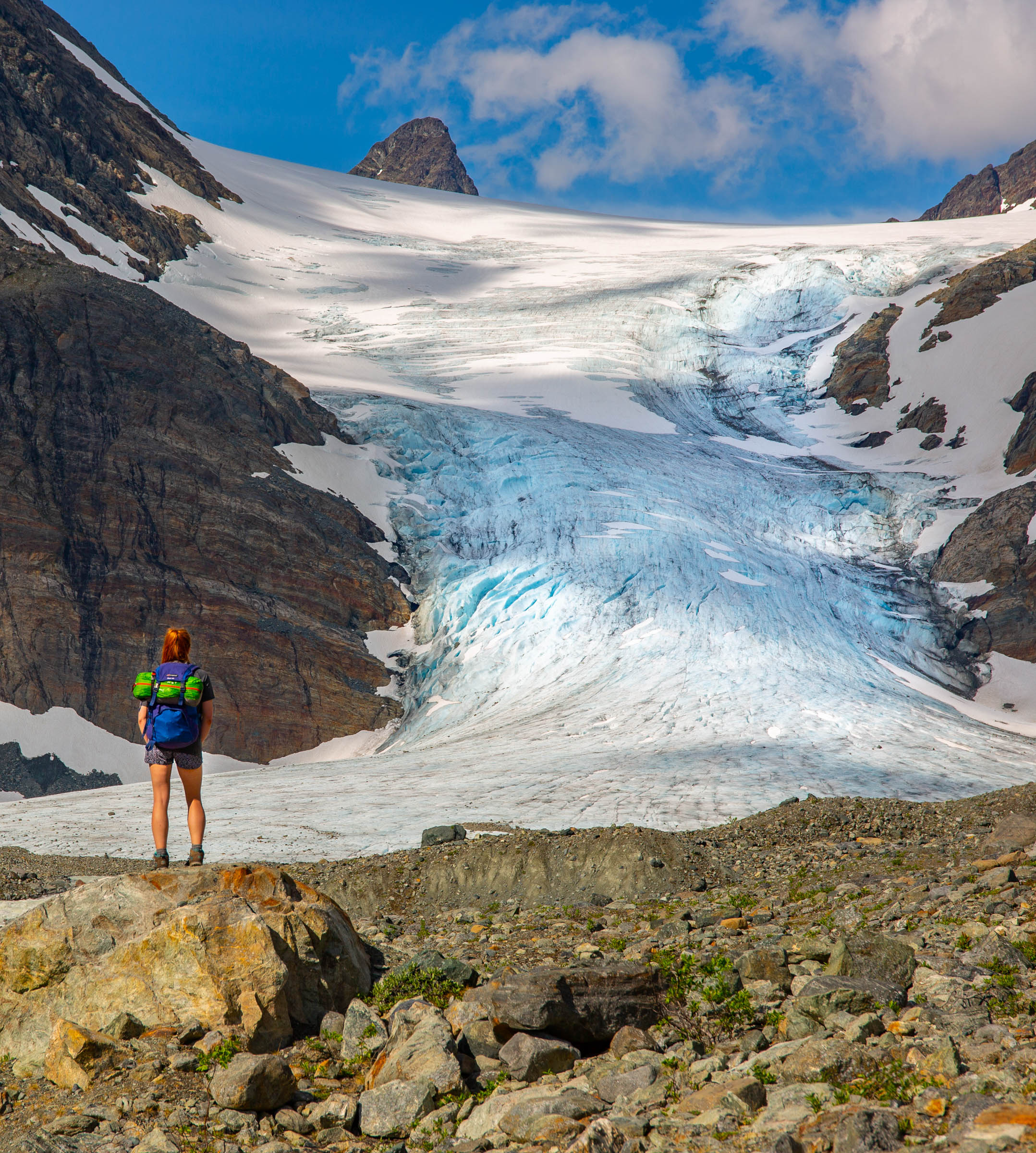
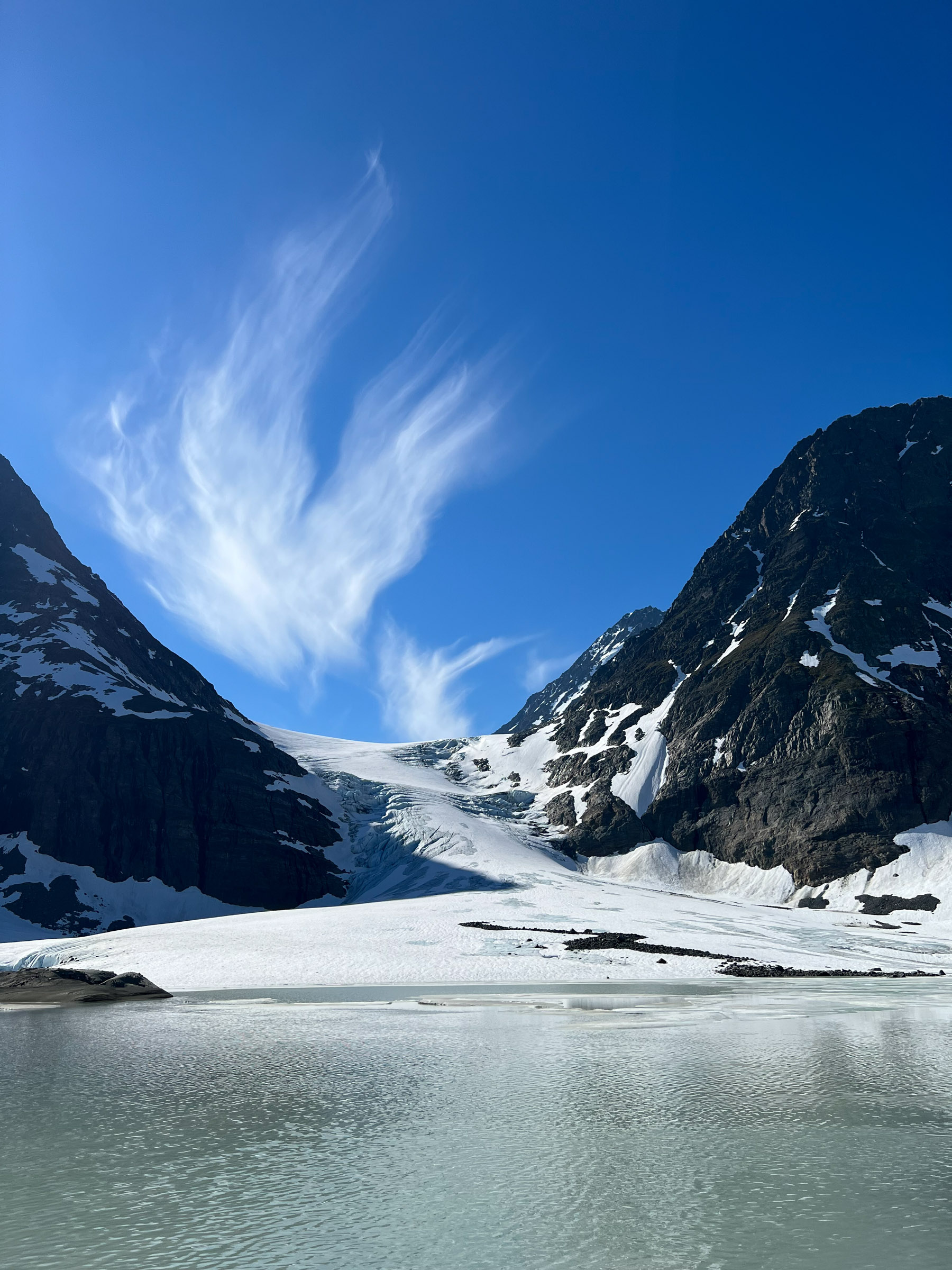
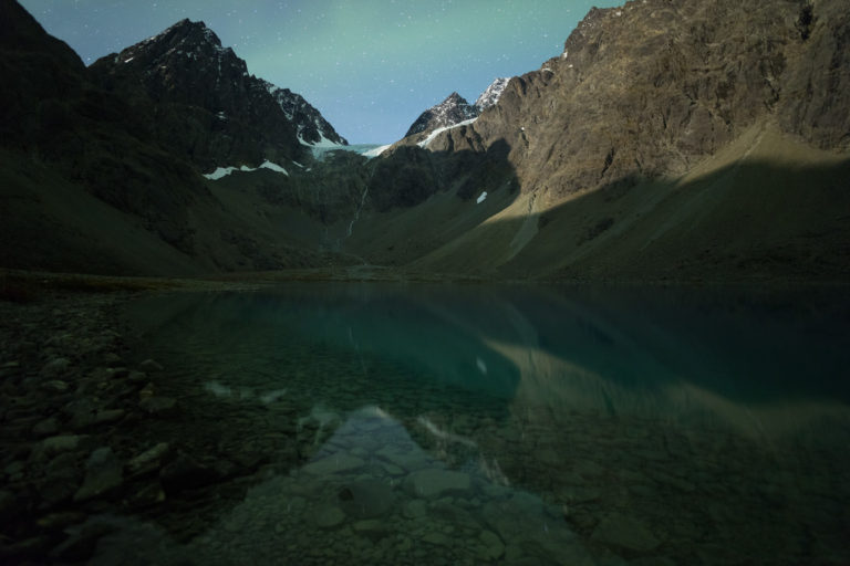
The Lyngsalpan – Lyngen Alps – is a barrier of towering peaks, of deep valleys, of gushing rivers and small glaciers. Most of the area is suited for the very outdoorsy only, but there are a few places you can enjoy the majesty without staging an expedition. One of our favourites is the hike up to the Steindalsbreen glacier. It takes you through a geological textbook to the icing on the cake – no pun intended – the baby blue Steindalsbreen glacier extending into a deep blue glacial lake surrounded by 15-1600 metre high peaks. This is an infinitely beautiful place amidst a wild, raw, and brutal landscape
There are Two Hard Ascents on the Way up
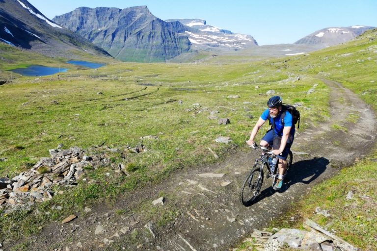
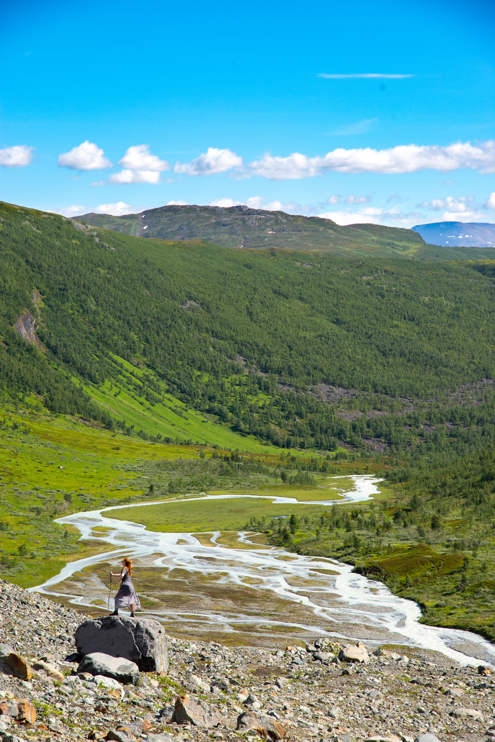
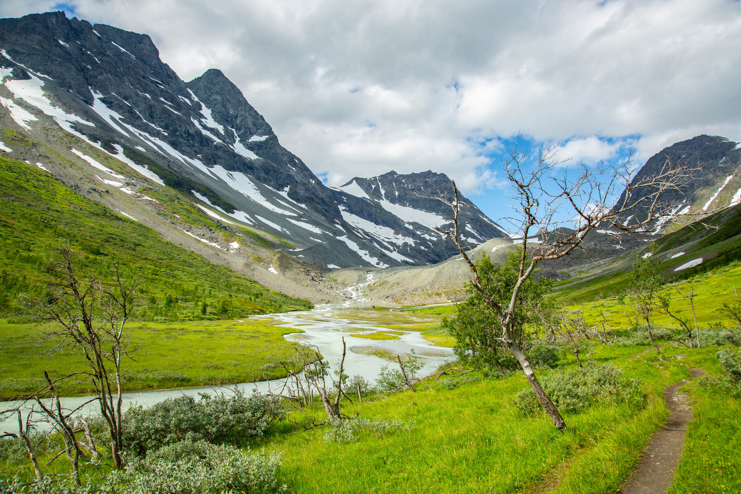
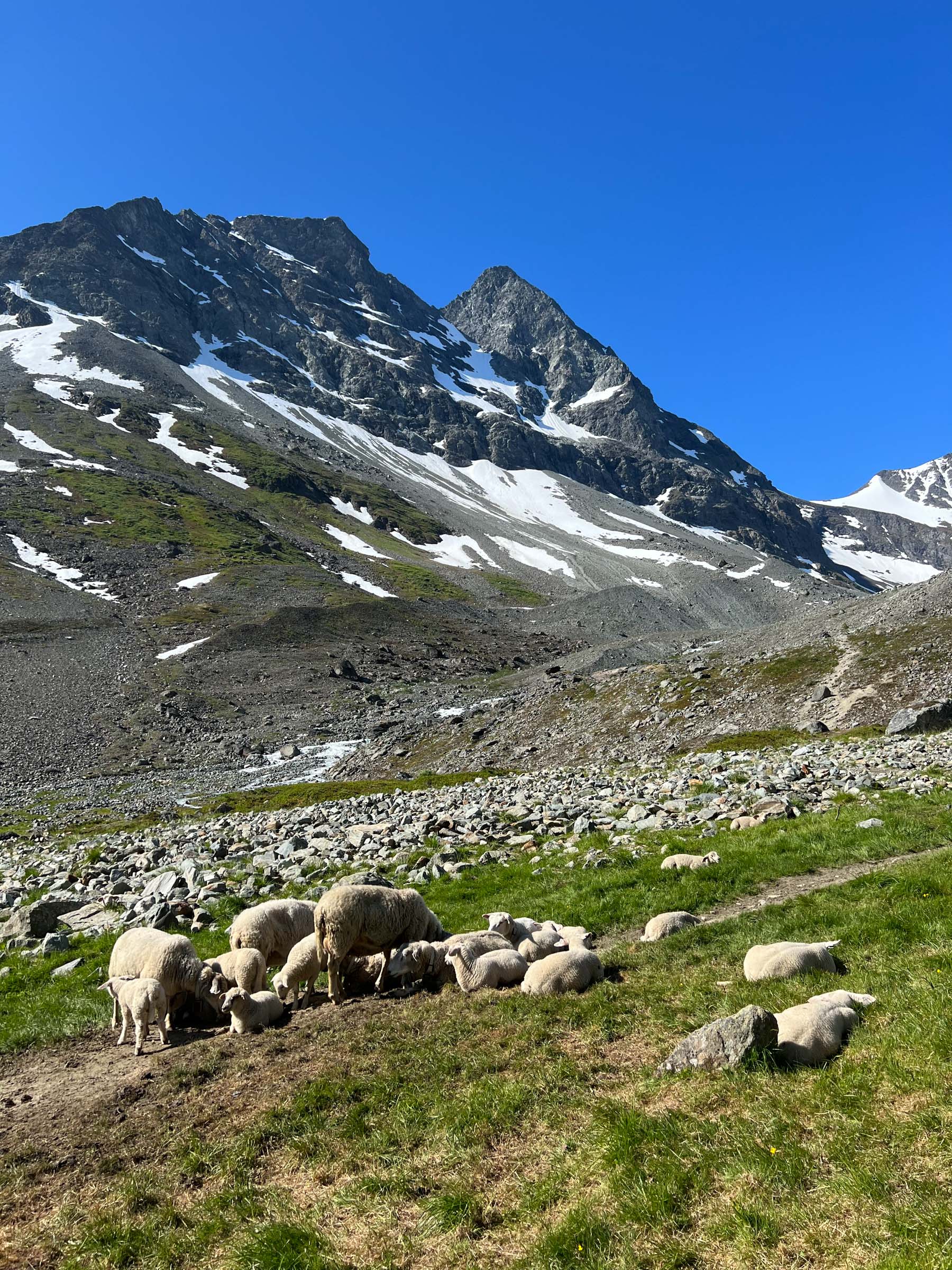
The hike is not that hard, as the altitude is some 472 metres/1540 ft. From the parking, there is a relatively steep ascent. Then you reach a reasonably flat valley in an altitude of 250 metres/800 ft about, clad with birch forests. Here the hut of Steindalshytta provides a natural stop by the river for a break. A smaller ascent takes you above the treeline at some 350 metres/1100 ft, and the valley flattens out again into a landscape of green grass and heather, interspersed with rocks and boulders. Here, you often come across sheep in the summer. Just before you get a close-up view of the glacier, there is a steep incline. Then you reach a little plain where the ice has retreated recently. And there it is, the glacier descending into the blue lake.
Don’t walk ON the Glacier just like that
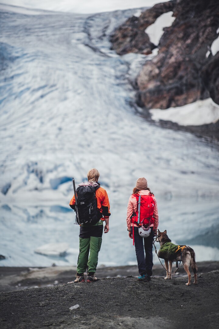
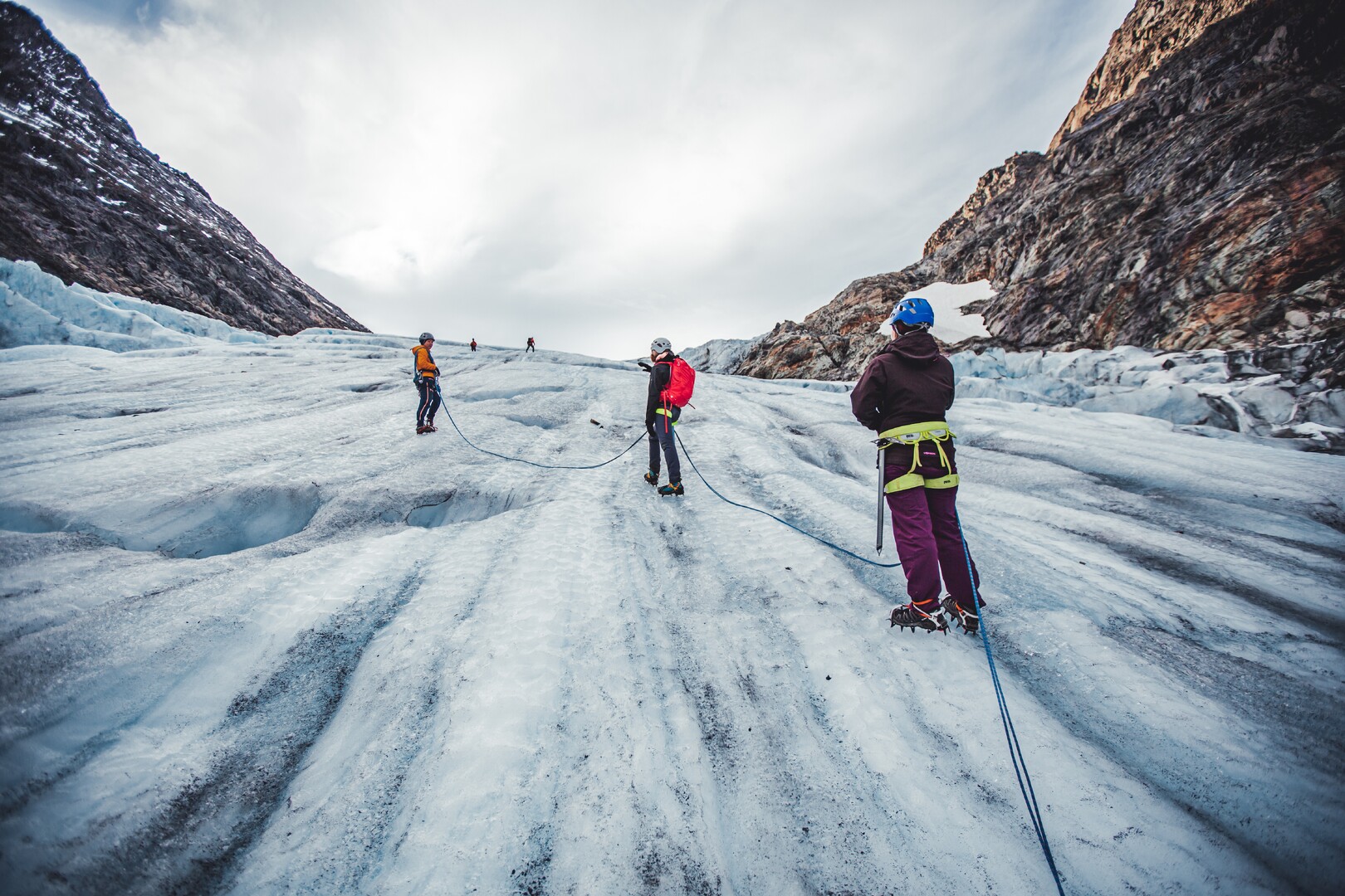
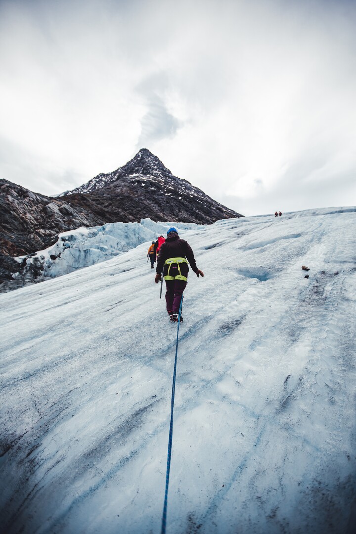
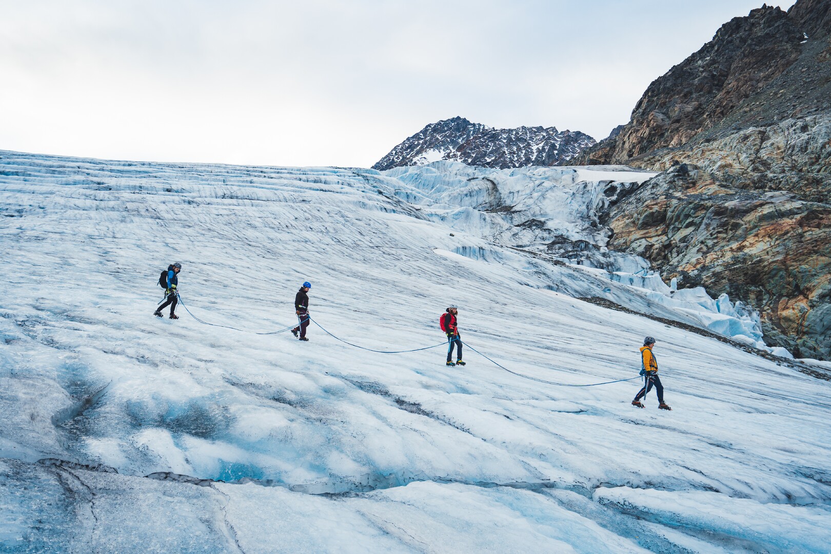
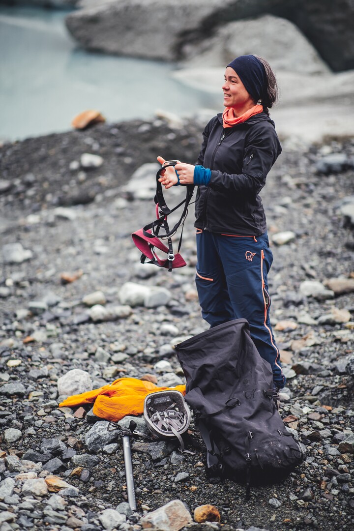
Steindalsbreen is a sought-after and very accessible glacier for the glacier hikers. You can prebook a glacier hike yourself, and hike with a trained glacier guide who also provides you with the right equipment. This is not an extreme activity, anyone in reasonably shape and with full use of their arms and legs can do it. However, you should NOT move around on the glacier on your own. This is because you can fall into cracks that regularly open in the surface of the glacier as it slowly slides down the hillside. International tourists have died on Norwegian glaciers several times over the last few years.
Who Should hike up to the Steindalsbreen glacier?
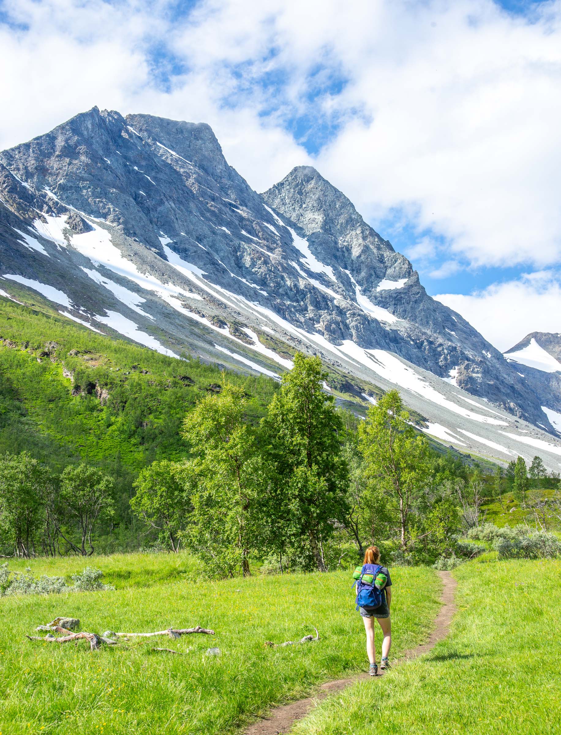
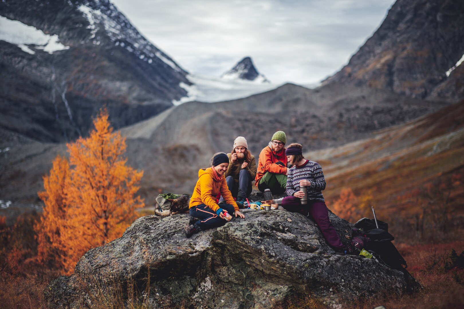
If you have some hiking experience and have full mobility and a minimum of shape, this is for you. Of course, you must be able to ascend 500 metres/1500 ft and walk 12-13 kilometres. If you have overestimated yourself, the hike up to the Steindalshytta hut is a fine place to concede defeat, as you have a great view even from there. Steindalsbreen enjoys a sheltered position, and is usually not windy or wet. However, summer and autumn temperatures in the north are unpredictable, and you should bring some extra clothes in a backpack. It can be considerably colder at the glacier than down at sea level. Your shoes should be sturdy and suited for uneven paths. Also pack some food. The hiking season starts in June, and finishes in October.
Trace the Ice Melting After the Ice Age
The advances and retreats of the glacier are visible all over the valley. The U-shaped valley itself is dug out from the ice, and even a not-so-trained eye will notice the exciting geology. Down at the start of the hike, you can spot the terraces created by the ice melting some 10 000 years ago. The melting was not an even process, and the steepest ascent is caused by a longer melting pause, building up a solid moraine. Things have happened later too, the river has dug a v-shaped canyon through the moraine after the ice age.
How Come the Glacier Water is So Turbid?
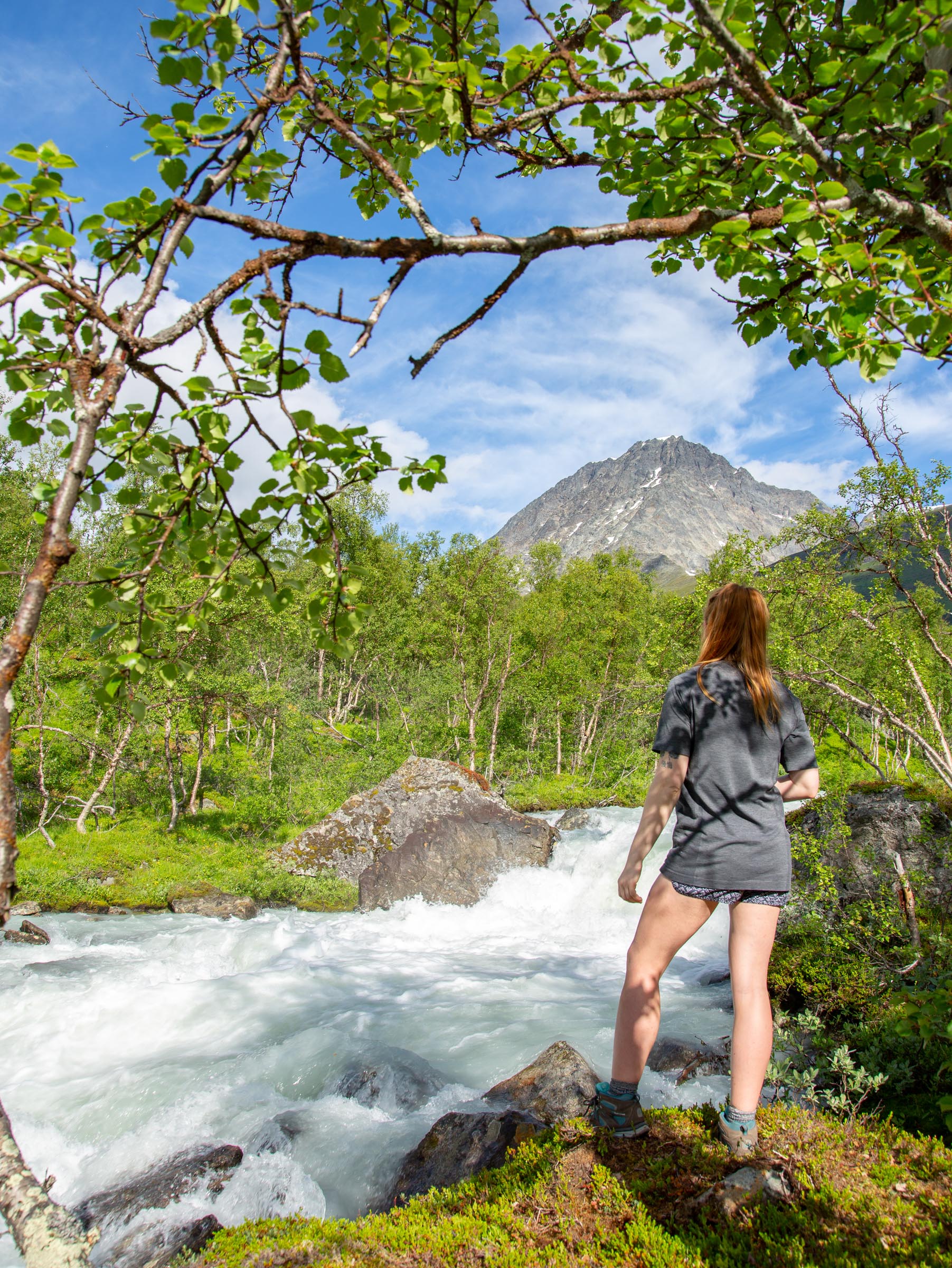
The rapids in the Steindalselva are down to several moraines along its course. At an altitude of 250 metres, the Steindalselva and the Tverrelva rivers meet. Tverrelva has crystal-clear mountain water, excellent to refill your flask. The Steindalselva on the other hand is filled with glacial flour- tiny particles coming from the glacier, taking on a milky colour.
The upper end of the valley is the story of the Little Ice Age
At an altitude of some 350 metres/1100 feet, the valley floor is littered with rocks, a so-called outwash plain. These were deposited during “the little ice age” – a period of cold weather lasting from the 18th c. – to the early 20th c. Colder weather made the glacier advance and build up new moraines. From there, you must climb the final Litte Ice Age moraine.
Witness the Steindalsbreen change as we speak
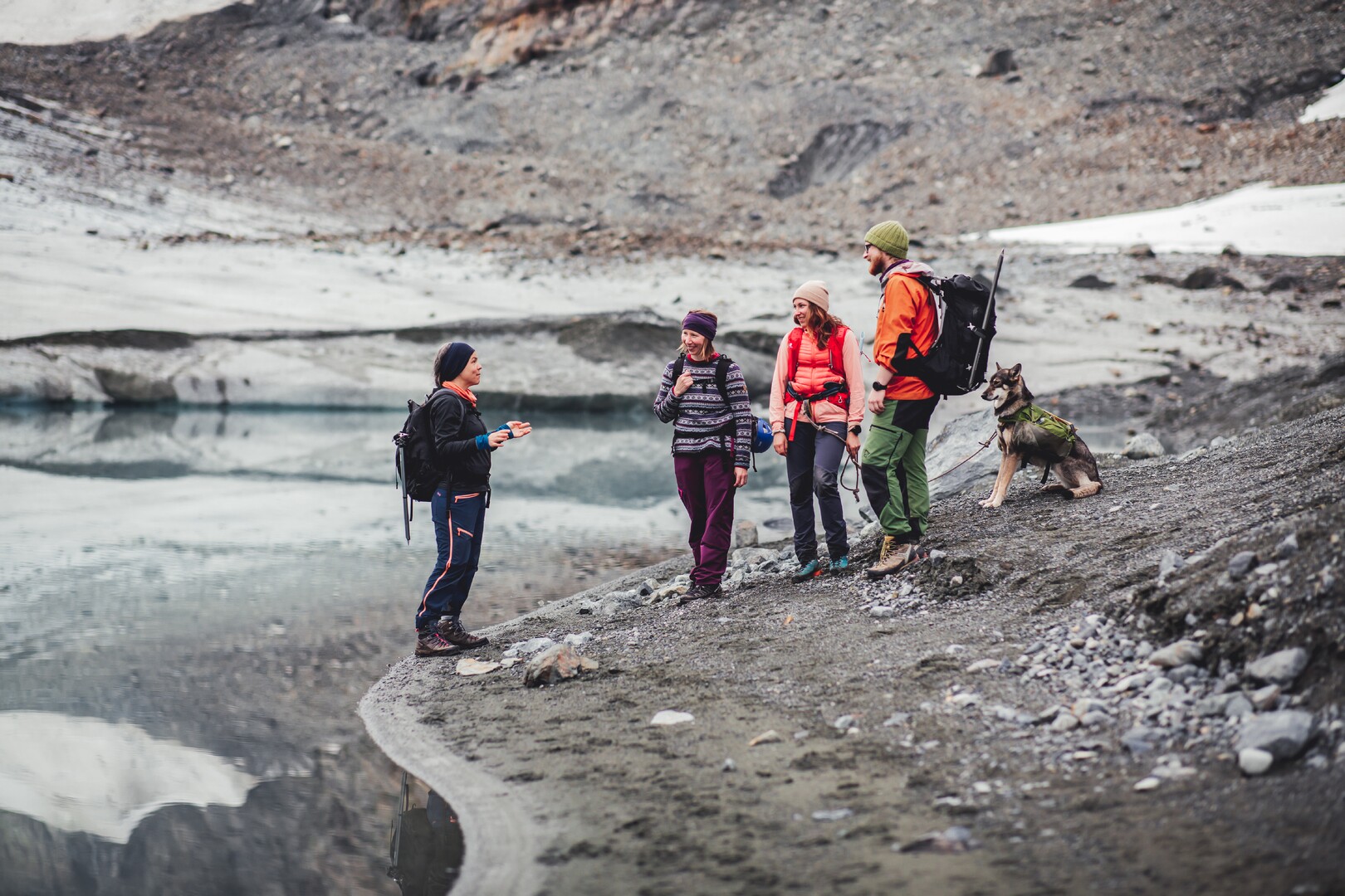
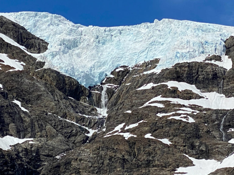
Higher temperatures due to global warming have cause the glacier to retract considerably over the last few years. Currently, the regression of the Steindalsbreen is about 10-15 metres a year. This has revealed another outwash plain, with little plants colonising new territoty. On the left side, going up, you see the “Blue Lagoon”: This little lake has been created because a giant chunk of ice was buried by gravel and left to melt slowly. The colour is intensely blue, because of the way the microscopic stone particles in the turbid water make the light bend.
Explore more about the Lyngen Alps
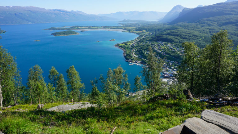
The Lyngen Alps – Lyngsalpan – is a mountain chain on the Lyngen Peninsula, going 100 kilometres from Nordkjosbotn and Oteren in the south to the Lyngstuva point in the north. Most of it is inaccessible wilderness, but the coast is dotted with farmland, small hamlets and larger villages and settlements, connected by roads. Jiekkevarri is the highest peak, 1833 metres/6017 feet. Most of the area is protected by the Lyngalpan Landskapsvernområde – Lyngsalpan Protected Landscape – status against all kinds of human activity. Their website is a good introduction to these beautiful mountains. Another fun website is the “Geology school” – a pdf about geology where most of this article’s geological insight is obtained. It’s in Norwegian, but the photos are very explanatory.

Consult the experts
Visit Lyngenfjord is the local visitors’ organisation, with lots of ideas fun things to do in the area.
FAQ – the Steindalsbreen glacier
The Steindalsbreen glacier is found in the southern end of the Lyngen Alps. The nearest inhabited place is Steindalen in the municipality of Storfjord, between the villages of Oteren and Lyngseidet on road 868.
There is a parking set aside for this at the Akselstua. This is marked from the road as IMA Tursenter as well as “Lyngsalpan”. You can see the exact position at this map from UT.no
Because the glacier is an amorphous mass in summer, moving slowly downhill and creating new cracks on its way. In winter, it’s frozen solid, but the snow covers up the dangers. The only safe way is to prebook a guided glacier hike. Which, on the other hand, is an excellent idea.
Visit Lyngenfjord, the local tourism organisation, organises tours in five municipalities in the area north-east of Tromsø.
It is about 106 km, and should take you around 100 minutes.
There are infrequent buses along road 869. By using the public transport app for the area, Tromskortet, you should be able to work out a route, alternatively contact the tourist boards in Lyngenfjord or Tromsø.
The distance is a good 11 km, and the altitude is less than 500 metres. That means that this is a leisurely daytrip of some 5 – 6 hours return, including plenty of time to swim in the glacier lake, take photographs and getting eye contact with the sheep.
The distance from Oteren and the E6/E8 main roads to the parking is about 17 km, and should take you less than 20 minutes.
The nearest biggest village with shops and cafes is Lyngseidet. It is some 26 km away, and should take you around half an hour.
Try to stay on the path as much as possible. Nothing wrong in stepping aside for a photo or to smell the flowers, but most of the time.. This limits the impact by many feet. Of course you don’t leave any litter behind. Also bring banana skins and orange peel. There are designated fire pits around the lake, use them when you make a camp fire. Otherwise the landscape would be scarred with remnants of campfires.
There is a public toilet at the parking.
No, flying drones are not allowed in protected areas in Norway. This is to avoid disturbing wildlife.
No, you cannot use an electric bike in protected areas. This is to minimise the wear and tear on the landscape.
In summer, don’t light a fire in the lower, forested areas. This is especially true if there is a drought, as a camp fire might cause a wildfire. However, in the rocky, stony area around the lake, you can use the designated fire pits. They will not cause a wildfire, and the area will not be littered with remnants of camp fire.