In Tromsø and looking to see some of the surroundings? Then a tour around the southern side of Kvaløya is perfect. It’s a 137 km (85 miles) drive in less than three hours. Although we couldn’t resist adding a little detour, adding some 55 km in total. It can be a classic panoramic tour, swift and scenic — or a leisurely drift along side roads and surprises, it’s all up to you. If you’re feeling annoyingly energetic, throw in a hike or two, and why not enjoy lunch along the way?
From city streets to reindeer crossings
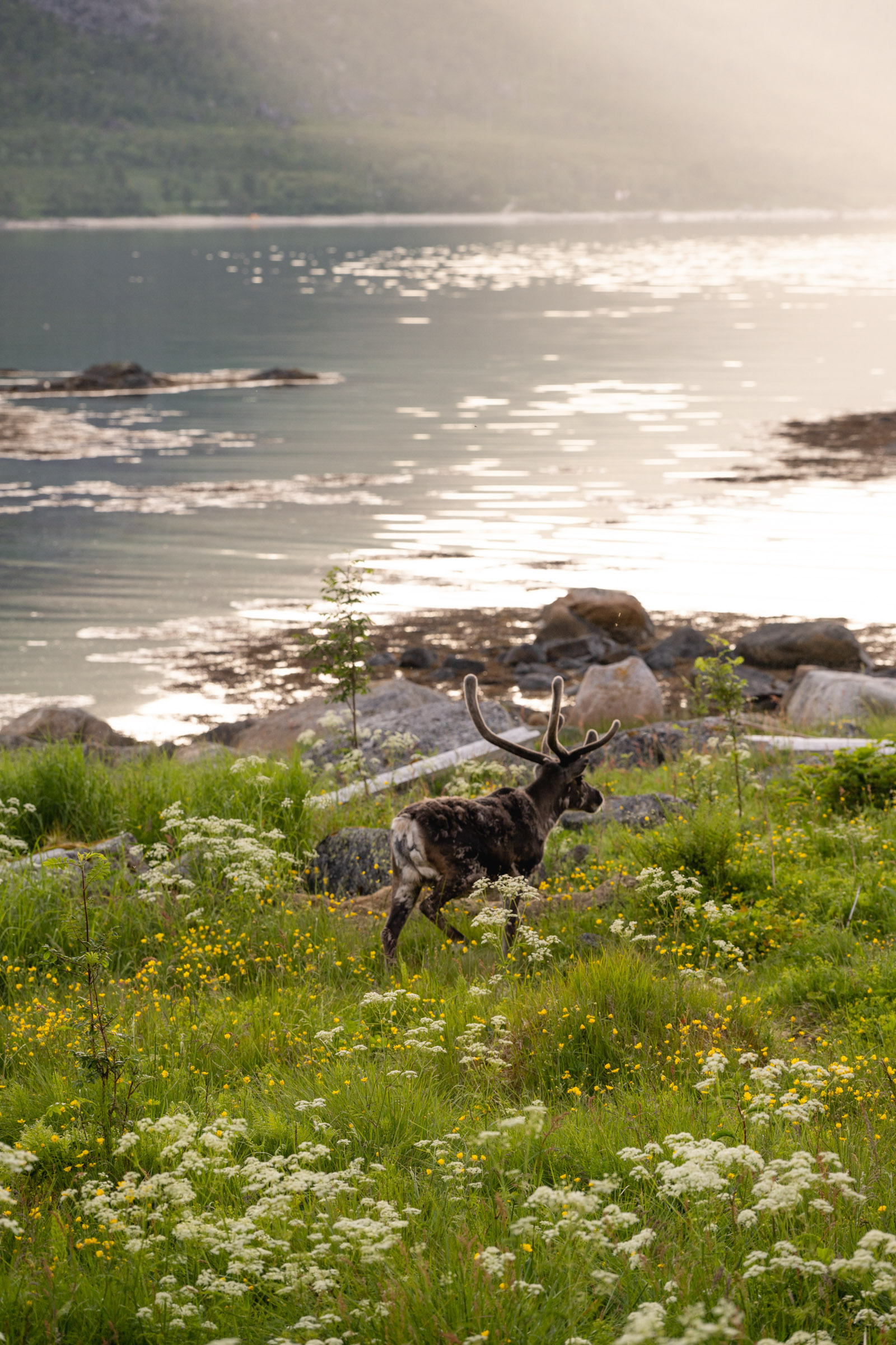
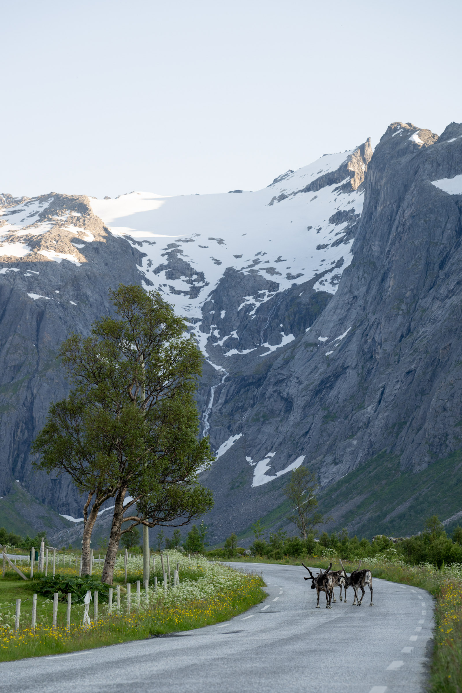
Passing Tromsø’s airport, you’ll drive across the 1220-metre long Sandnessund bridge onto the island of Kvaløya. You’ll see houses, gardens, a cluster of boathouses, shops and restaurants, all framed by wide views of water and mountains.Sometimes, reindeer graze in the roundabouts. At Eidkjosen, you take a left onto road 858, as the suburbs fade into farmland. Take a detour to Håkøya Island – you can’t miss the timber bridge. On the island, check out the modest memorial to the Tirpitz. This German battleship was sunk in the bay in November 1944, resulting in nearly 1000 casualties.
In the spring, a more uplifting detour awaits at Tisnes, where you can head to the mudflats on your left. Here wading birds gather before the nesting season, feasting on sea creatures, unconcerned by the great views all the way to the Lyngen Alps.
Did they play tennis 7000 years ago?
The farm at Skavberg hides a beautiful secret: Rock carvings from the Stone Age. The oldest and most impressive carvings are found the furthest up; they possibly dates from 5000 BC. Originally carved at sea level, the land has since risen due to post-Ice Age uplift, and the carvings now lie higher in the terrain. Two human figures are visible, one of them carrying what appears to be something resembling a tennis racket This could be interpreted as a shaman drum or, alternatively, as a landing net for fishing One of the carvings features a male figure with an exaggerated phallus. However, it might also be interpreted as a stylized map of the surrounding fjords and strait.
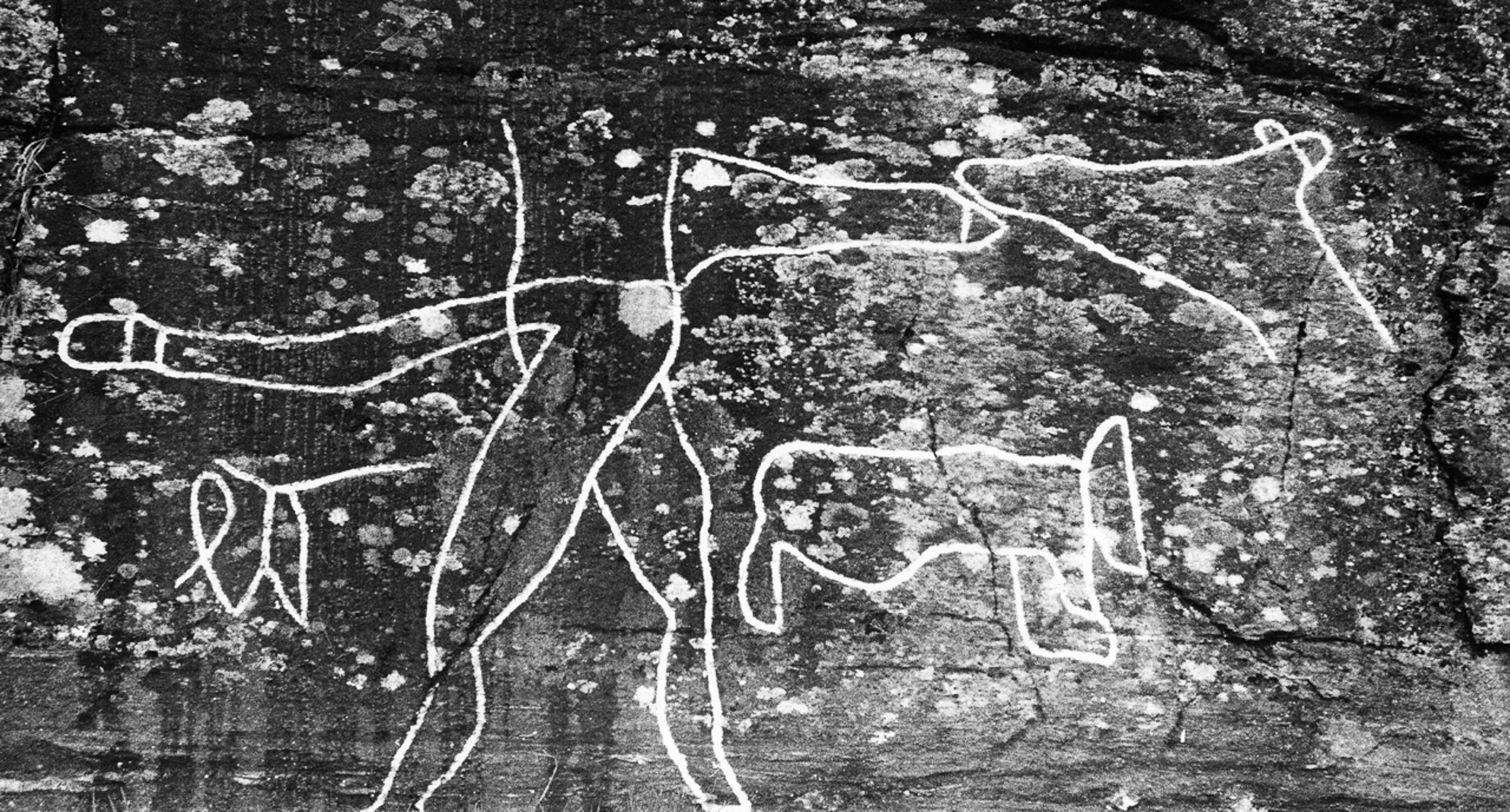
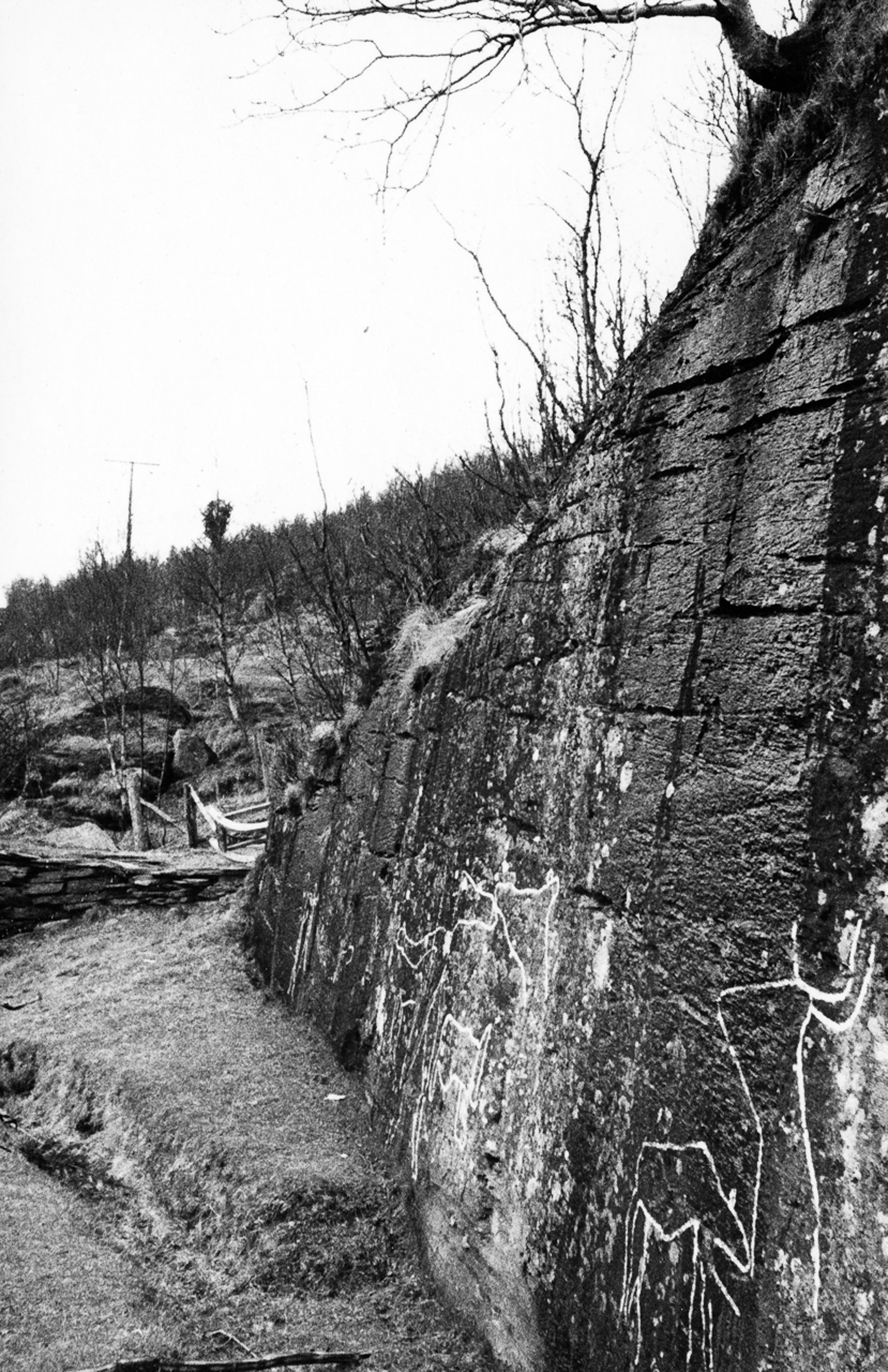
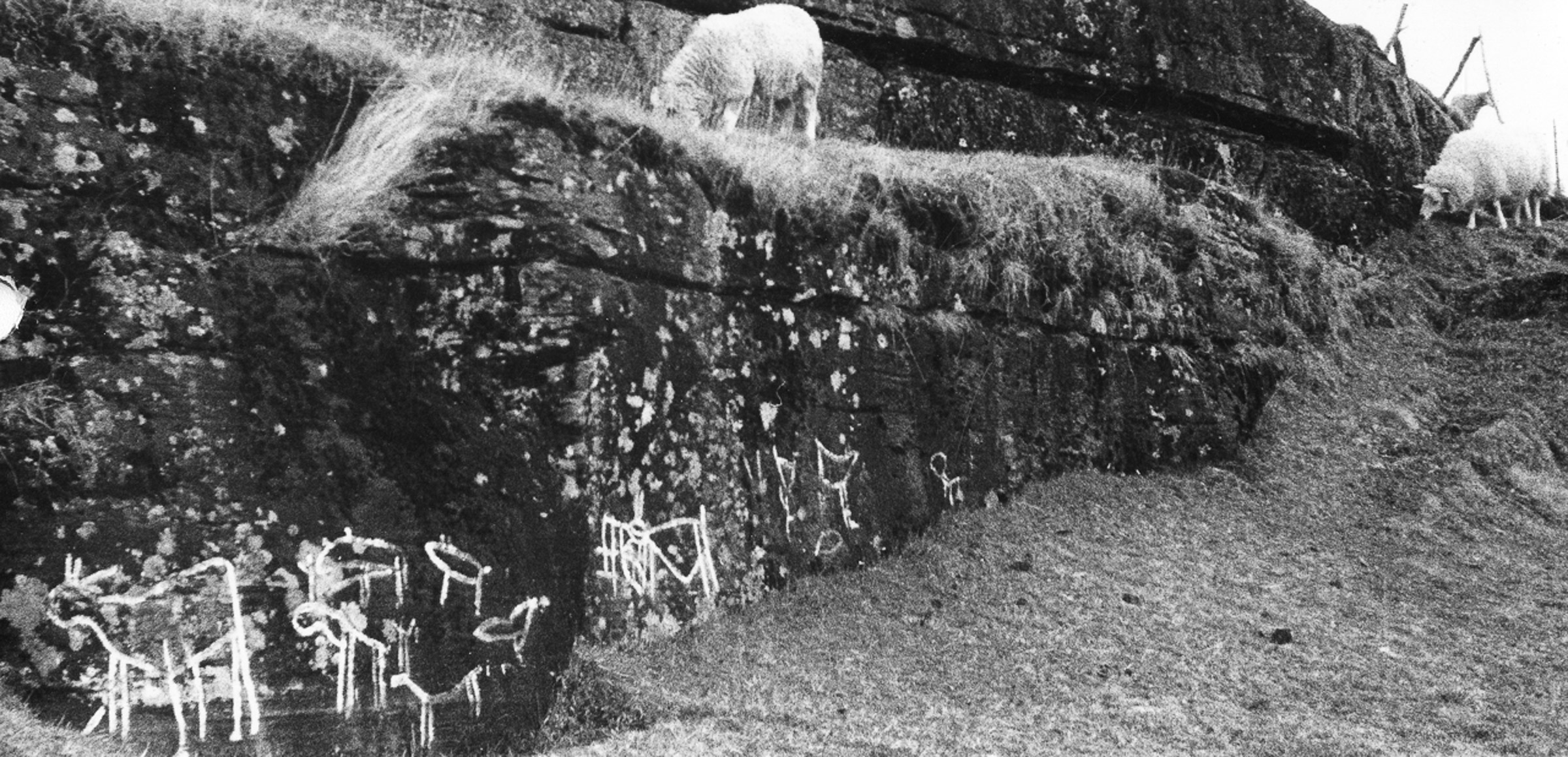
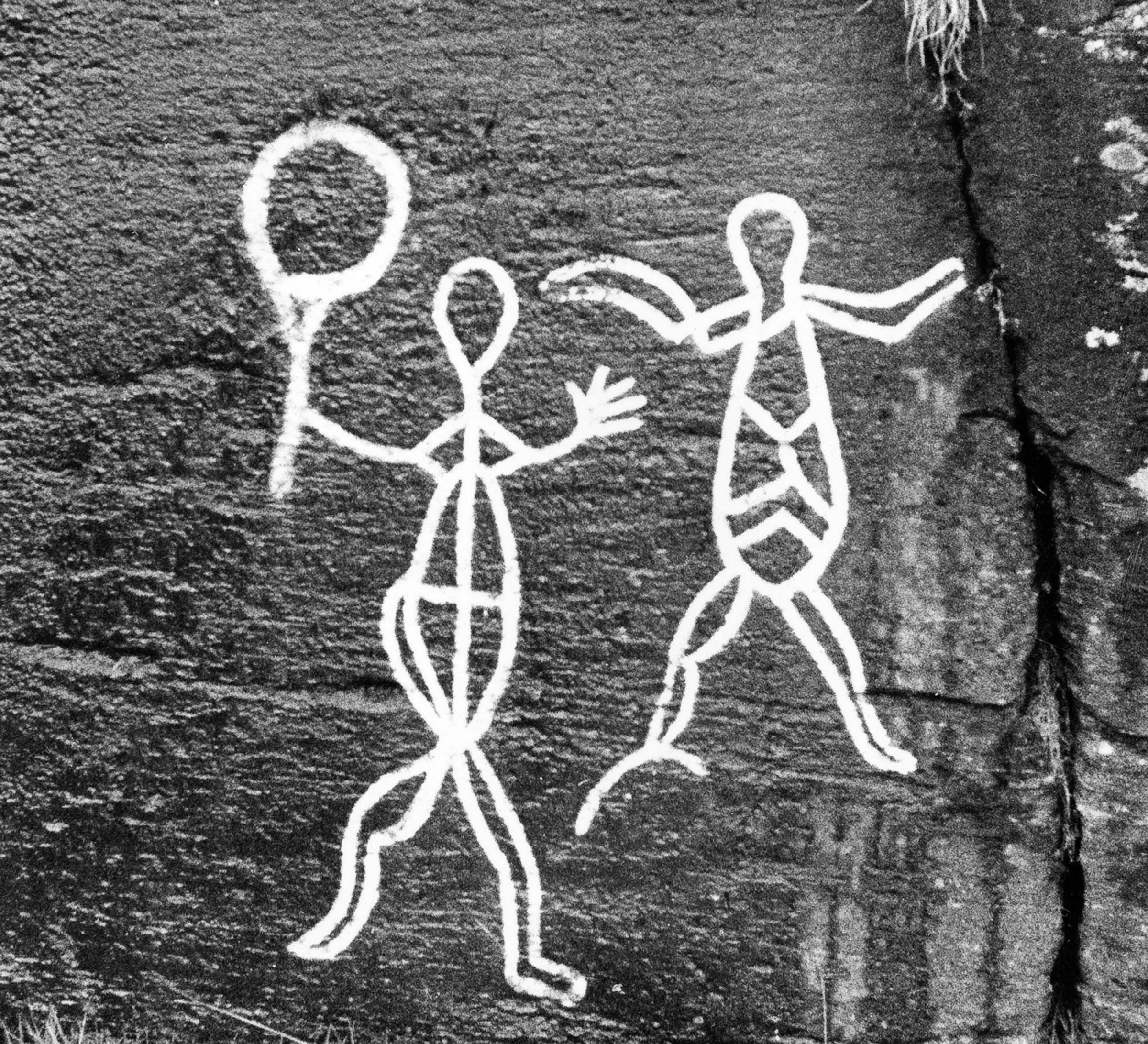
Reindeer heads, seemingly rising from the water, suggest that this area was once a prized hunting ground during the annual migration of reindeer. Further down, there are younger rock carvings. Further down, you’ll find younger rock carvings. Near the parking area, there’s a field of neolithic carvings featuring farm animals – and even a cat!
As we look at the rock carvings, it’s natural for the imagination to wander. Archaeologists compare carvings across vast regions, looking for patterns and drawing conclusions. Still, it’s difficult to know what the artists themselves were thinking at the time. Their motivations may also have changed over the course of thousands of years. The rock carvings are found on the grounds of a private farm. Be sure to keep well clear of the farmhouse, and avoid touching any plantings or farm equipment.
At Hella, old houses from Tromsø are preserved
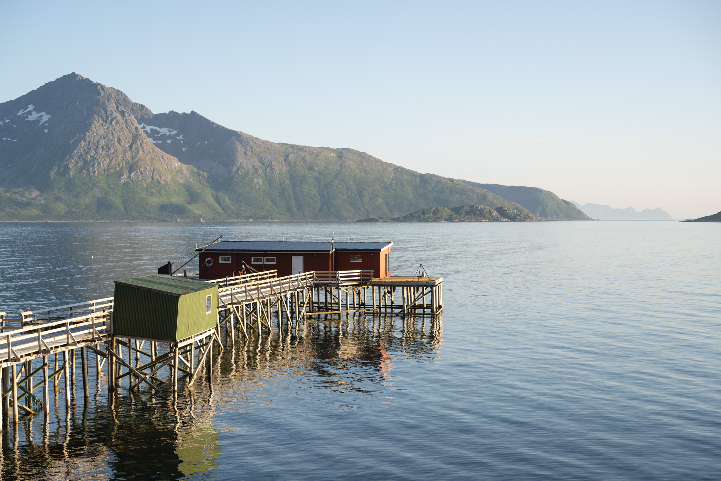
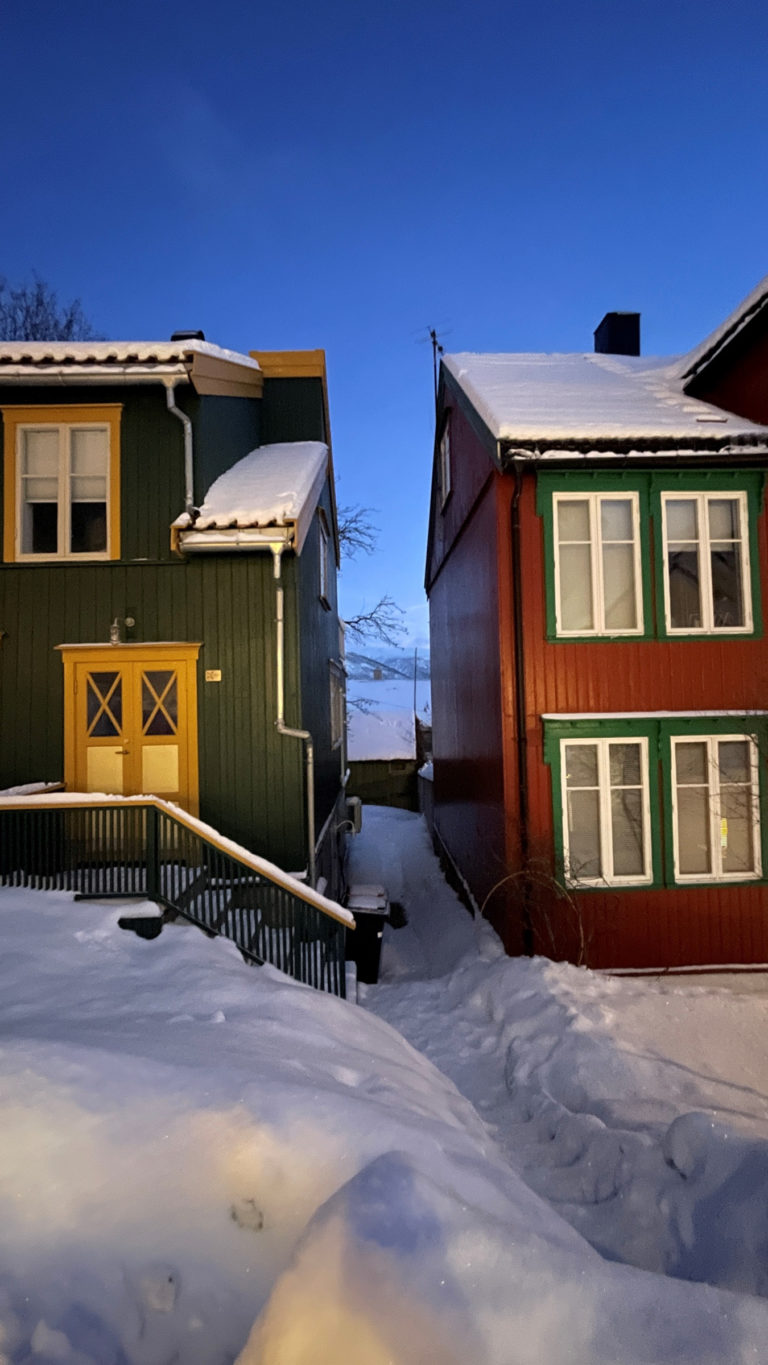
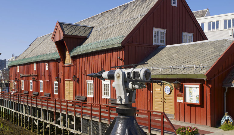
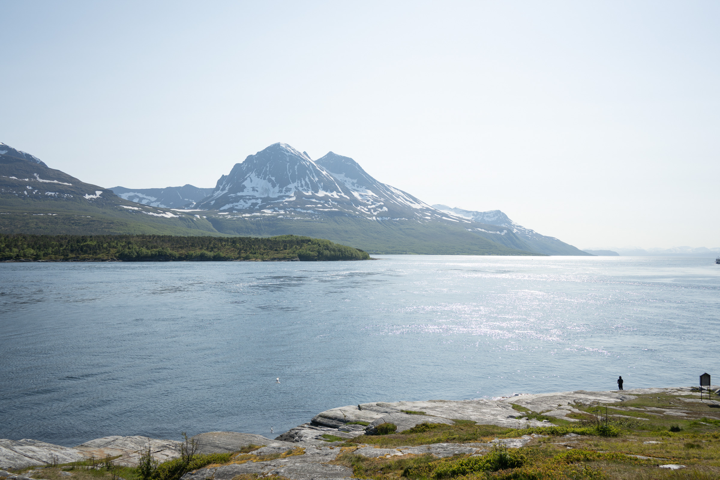
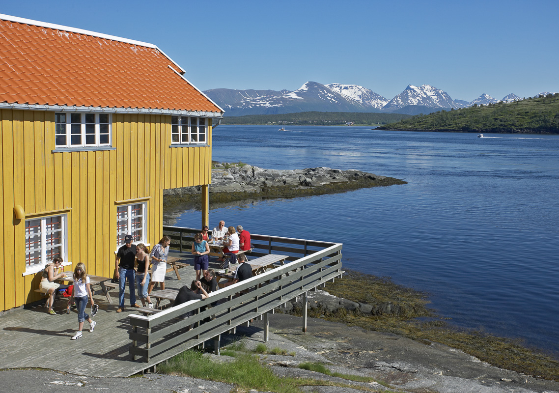
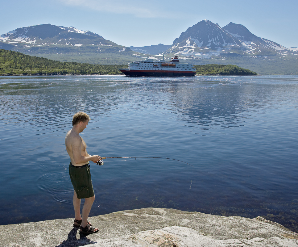
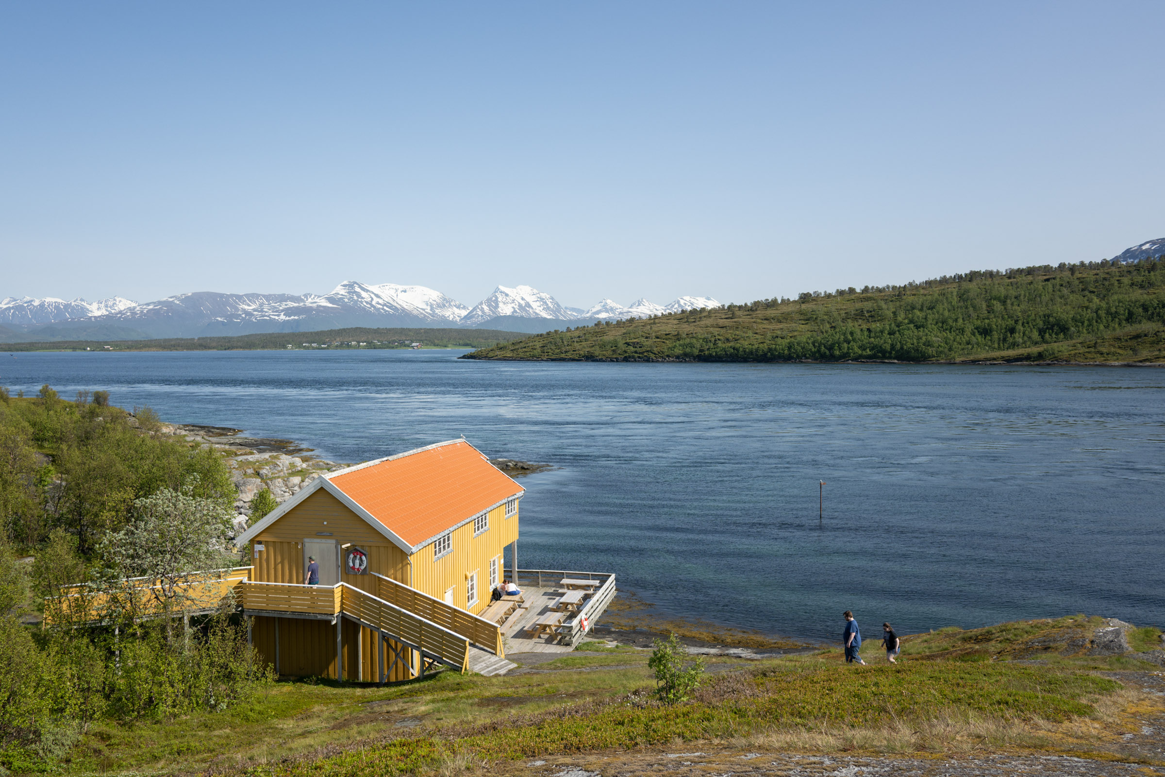
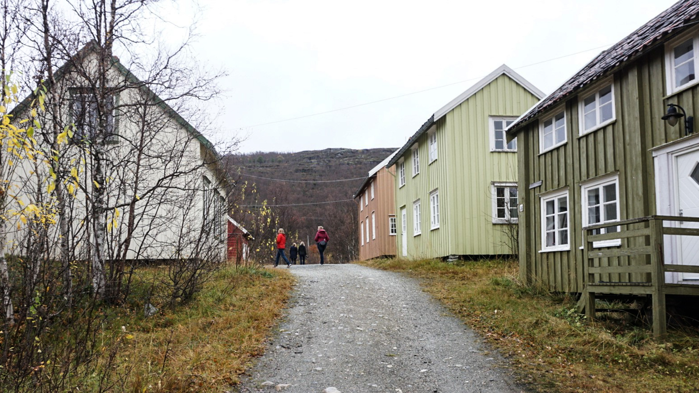
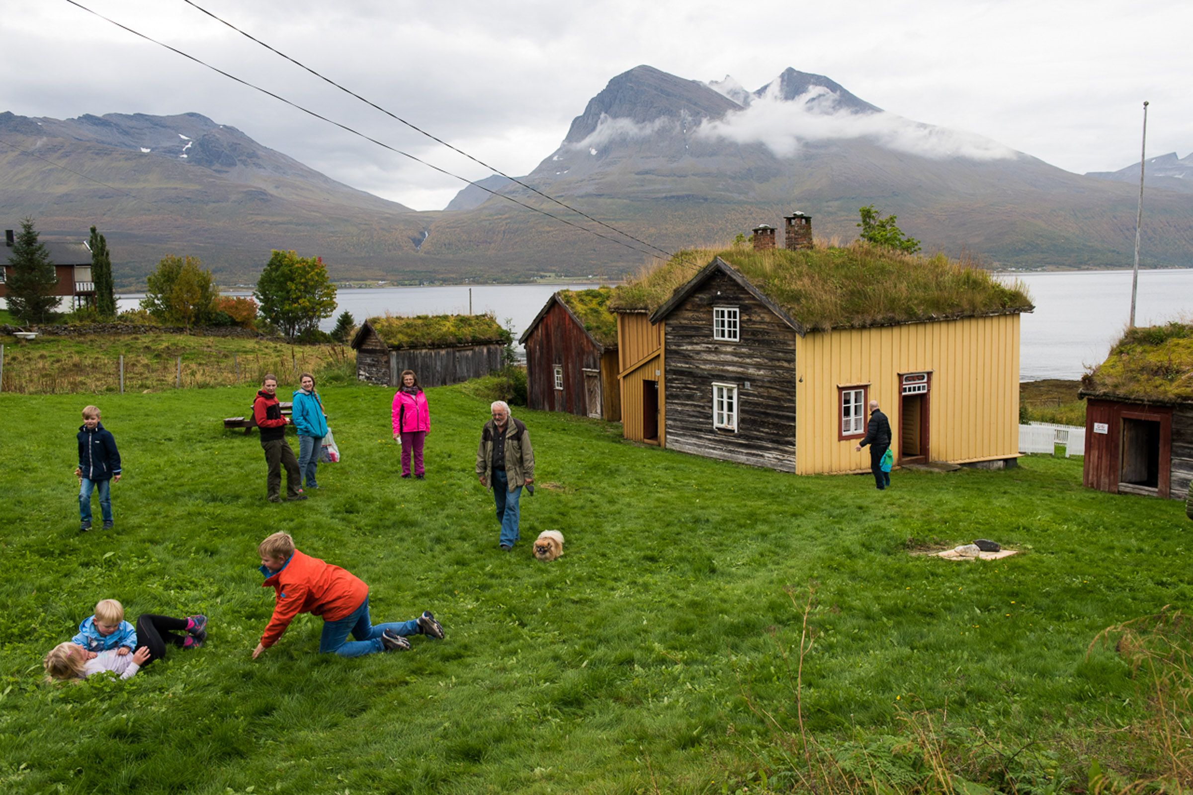
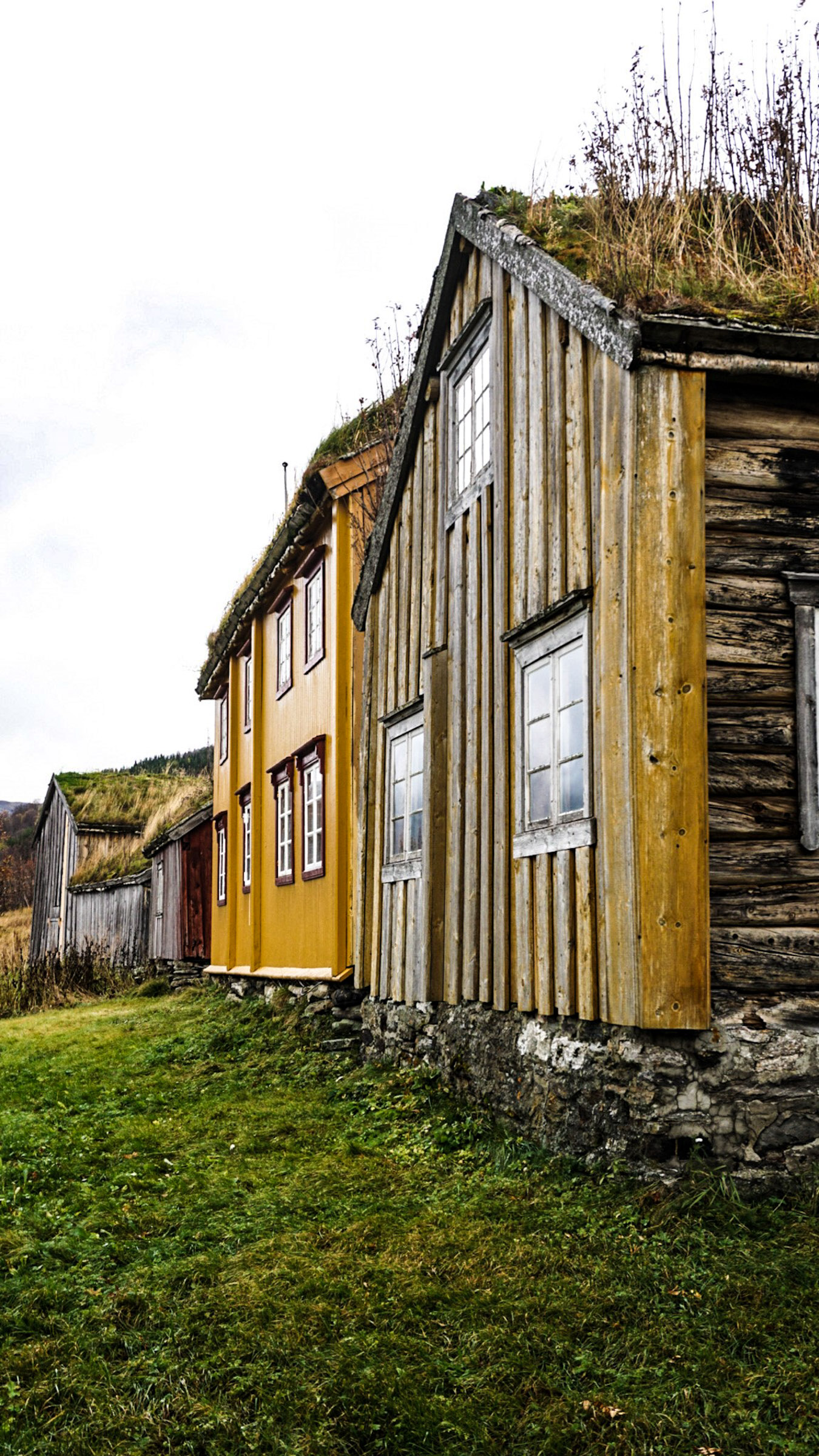
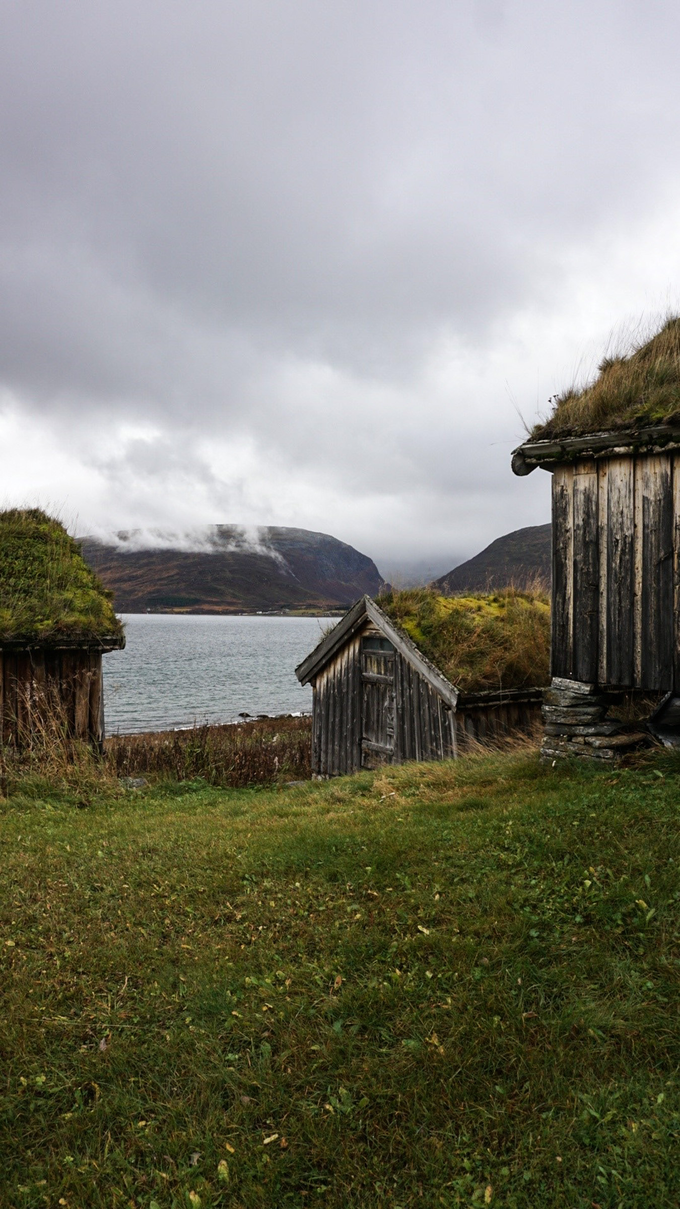
Surprisingly, you’ll find a collection of colourful wooden houses at Hella. hese houses were relocated here from Tromsø. In the 1960s, as Tromsø expanded rapidly, new concrete structures were built. Working-class houses and traditional warehouses on stilts were demolished. However, some were rescued and relocated to Hella. oday, they form a photogenic ensemble, with stunning views of the fjords, mountains, and the waterway just below. This is a popular spot for Tromsø locals, and if the weather is good, people camp here and fish in the ocean current..
Rystraumen gives four shows a day
Rystraumen’s ocean current is the strongest along the Hurtigruten route. Here, the waterway narrows around the island of Ryøya. Near the Bryggeloftet warehouse on stilts, you can get close to the water and watch the eddies. Shoals of coalfish often stir up the surface, while seagulls dive for their next mea.
Mind your step at Hella!
Still, some caution is needed. Smooth rock surfaces can be slippery, particularly in wet weather, or if the view to the Bentsjordtindan peaks leaves you dizzy with wonder Falling in when the current is strong could be fatal, so keep a close eye on children. Spoon lures often snag on the bottom, endangering seabirds and fish — so maybe skip them.
A drama ended on Ryøya Island
Ryøya, now uninhabited, lies in the middle of the current. Folklore links this island to the dramatic execution of the siblings Birte and Benjamin in 1742. Birte, still a young woman, had been married off to a much older man — a deeply unhappy, possibly violent, union,
In a quarrel, she killed her husband with an axe. Her younger brother, Benjamin, helped her sink the body in the sea, but the sea gave him back. They tried to flee to Sweden, but were captured and returned. In 1739, they were convicted, and in 1742 beheaded on Ryøya Island Birte’s blond hair on a stake, blowing in the wind, was the final image the spectators were left with.
The devil is not in the details
As with any good story, doubts have been raised, including where the two were executed. But since the documents burned in a fire in Copenhagen – the case went to the Supreme Court of Denmark-Norway – we will never know. There is thus no reason not to see in your mind’s eye the two heads at Stegelnesset – “stake point” – the islands’ western tip. And who are we to kill a good story?


Straumen gård is a well-preserved coastal farm
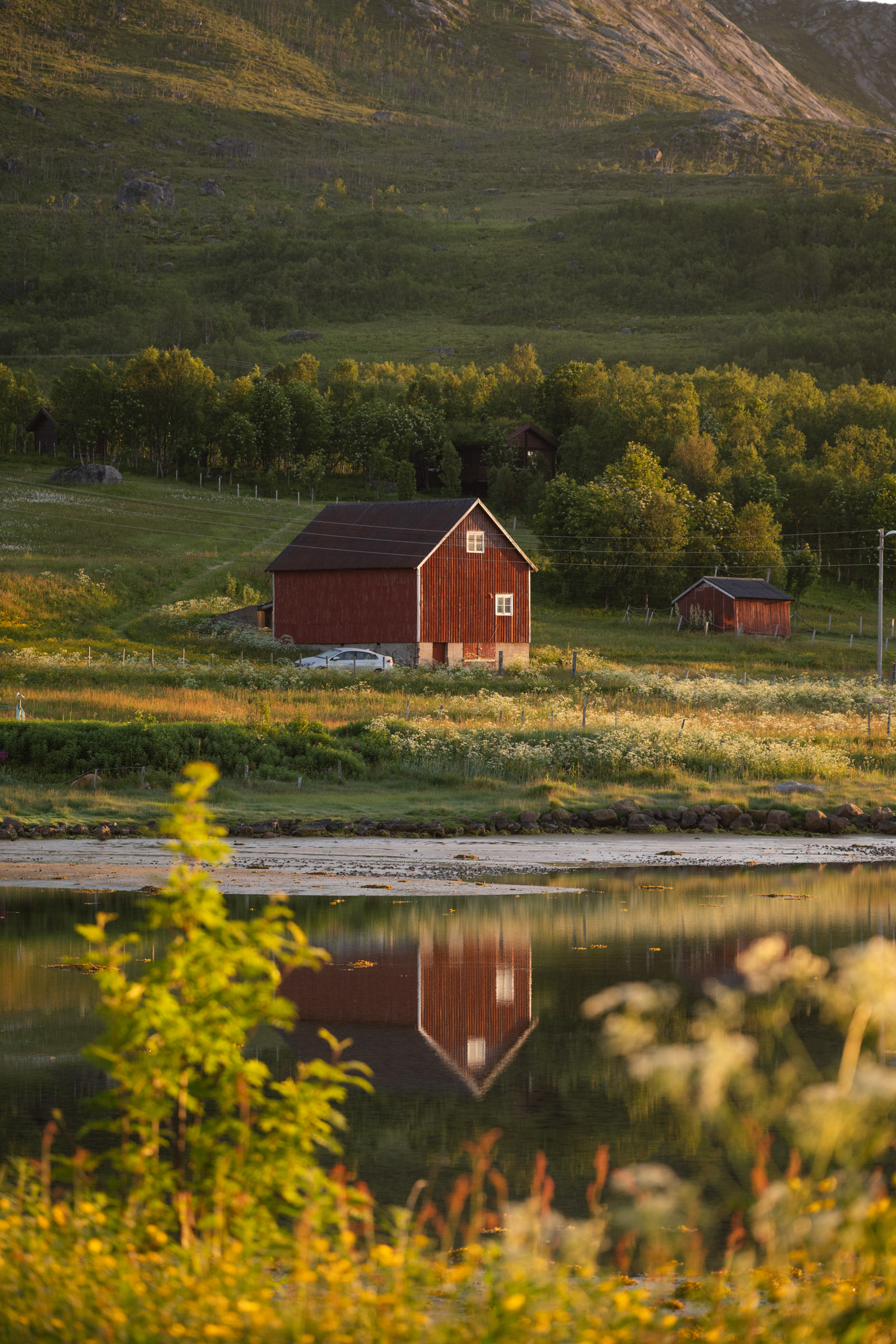
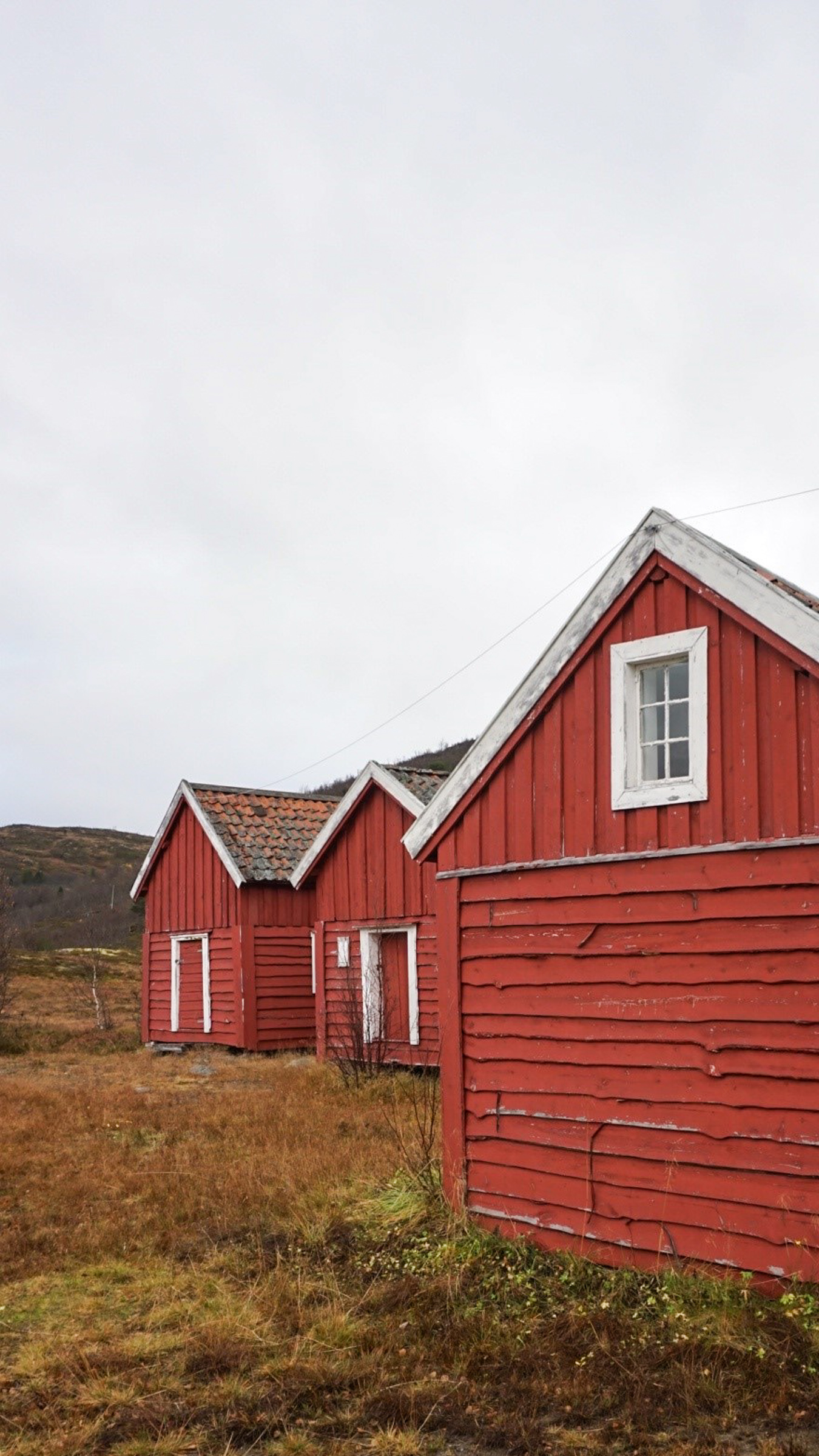
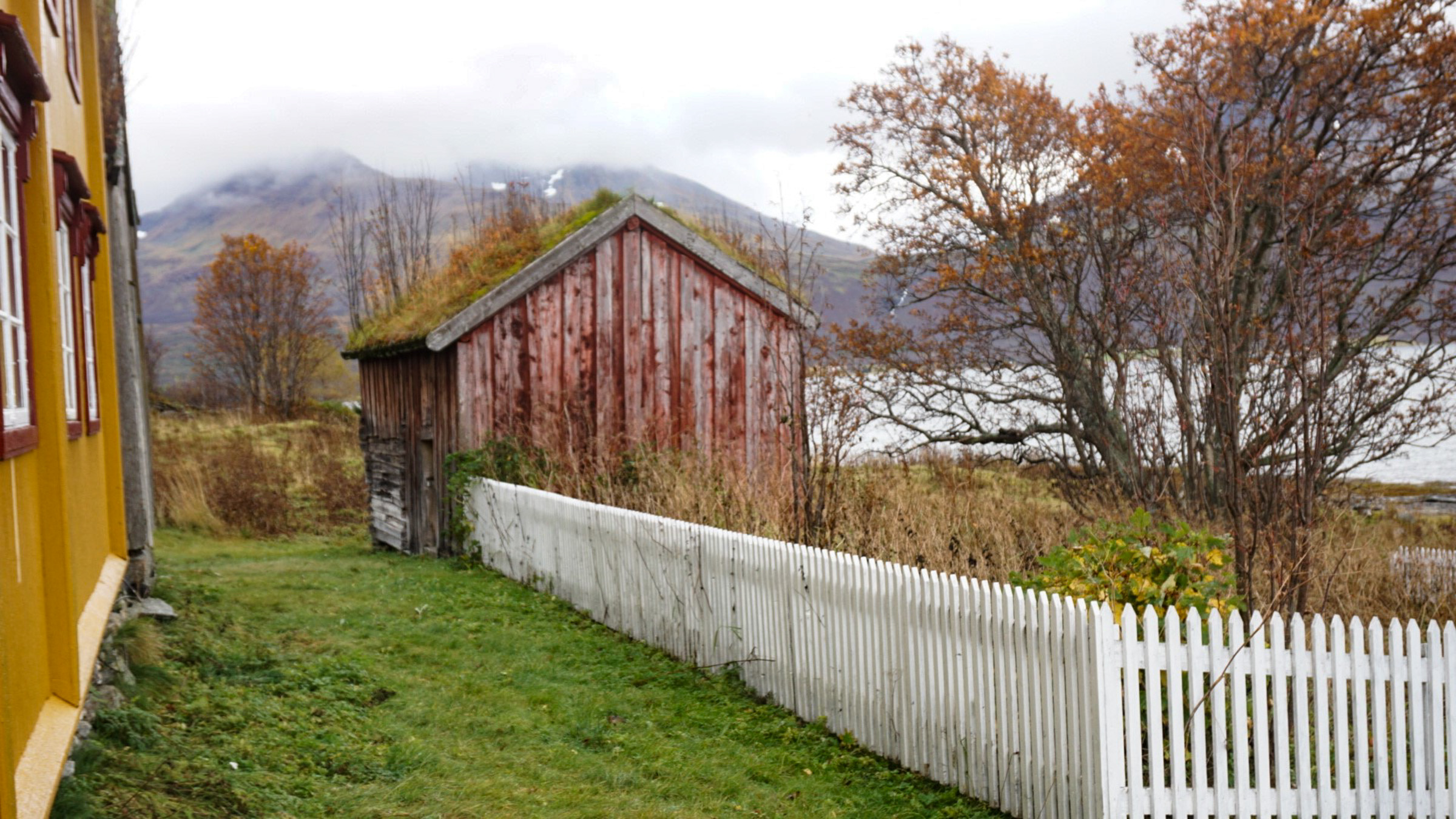
Another picturesque stop is the Straumen farm. This farm is surprisingly well preserved, with buildings dating from the 19th century. The ochre main building is surrounded by smaller buildings and a little fenced-in garden. Everything is wonderfully well preserved, and unlike almost anywhere else, you get to see traditional coastal architecture with log cabins, partially panelled, in weather-beaten ochre, barn-red, and shiny grey. The view to the Bentsjordtindan peaks is great,and you’re free to wander the grounds and peek through the windows. The museum is usually closed, though it occasionally opens for special events.
Around Kvaløya to Sommarøy
140 km around the southern half of the island of Kvaløya – varied scenery of mountains, fjords and islands along with archaeology, coast culture and WWII.
Start-up in downtown Tromsø
Drive from town towards the airport, continue across the Sandnessundbrua bridge to the island of Kvaløya. Turn left, watch out for reindeer along the road, and make another left in Ersfjordbotn.
Tirpitz memorial
Make a little detour from the road across the flat timber bridge of Håkøybrua, and find the memorial to the German battle ship of the Tirpitz, sunk here in November 1944.
Skavberg rock carvings
Continue through farmland to Skavberg. Here, rock carvings from 7000 BC.
Hella
Stop at the parking a few hundred metres on. Walk down to Hella for the ocean current and the old houses from Tromsø.
Straumen gård
Another few hundred metres take you to Straumen gård, an old farm wonderfully well preserved.
Austein
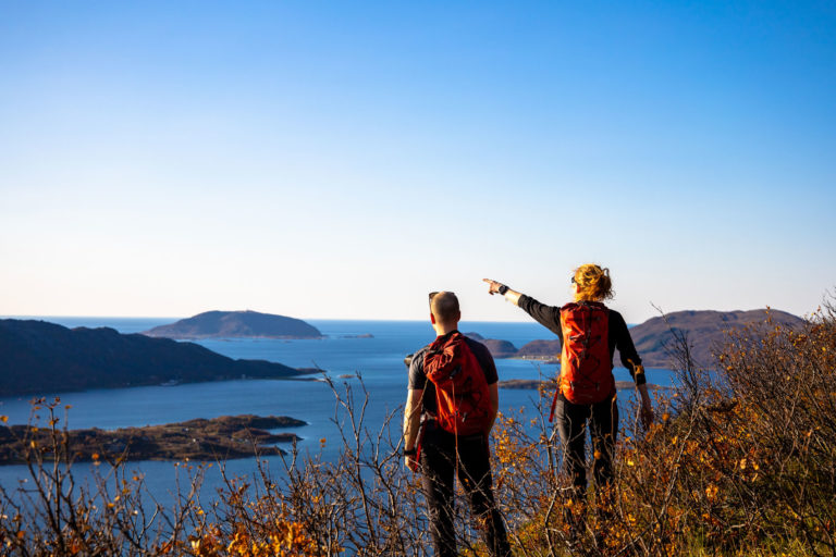
Time to drive along the fjord for some 40 minutes to Brensholmen. The quiet bay near the church is a great place to stop. Or you could hike up Ørnfløya Hill for unobstructed seaview.
Sommarøy
This fishing village with an attitude invites to a quiet stroll and coffee or lunch. The beaches are to die for.
Ersfjordbotn
Drive from coast to the quiet waters of Kattfjord. Across the mountain pass of Kattfjordeidet, you reach stunning Ersfjordbotn with a classical fjord view.
Grøtfjord
The drive north from Ersfjordbotn is a detour taking you to a lovely beach.
Tromvik
Fishing village with great views. Stop for photography along the Grøtfjord with its impressive peaks. The detour here adds some 55 km, bringing the total length of the tour to almost 200 km.
Tromsø
Back in Tromsø.
Kvaløya’s South Coast Opens to the Atlantic
From Straumen gård, it’s a 40-minute drive to Brensholmen with little to tempt you to stop – at first glance. Just great panoramas of mountains across the wide, open Malangskjeften inlet. The remnants of a rich past are visible to the trained eye. Notably, the barely visible foundations of a longhouse at Greipstad suggest that someone of note once lived here, overlooking fjords and waterways.
From the small settlement of Buvika, the road leads uphill across the Buvikfjellet heathland down to Brensholmen. This patchwork of small bays, farmland, islets and heath is dotted with homesteads and houses. Many archaeological finds from the Iron Age and Viking Age point to the area’s historic importance.
The quiet bay at Austein welcomed churchgoers
A natural stop in the Brensholmen area is Austein, home to the 1887 Hillesøy Church. The sheltered bay below the served as a safe harbour for church boats arriving from across the fjord. The church is usually closed, but if you do get the chance to go inside, you can see two Gothic triptychs from around 1500, brought north through the stockfish trade to a predecessor of the present church. Mostly, though, it’s the quiet surroundings and the view across the water that draw the eye and invite a pause.
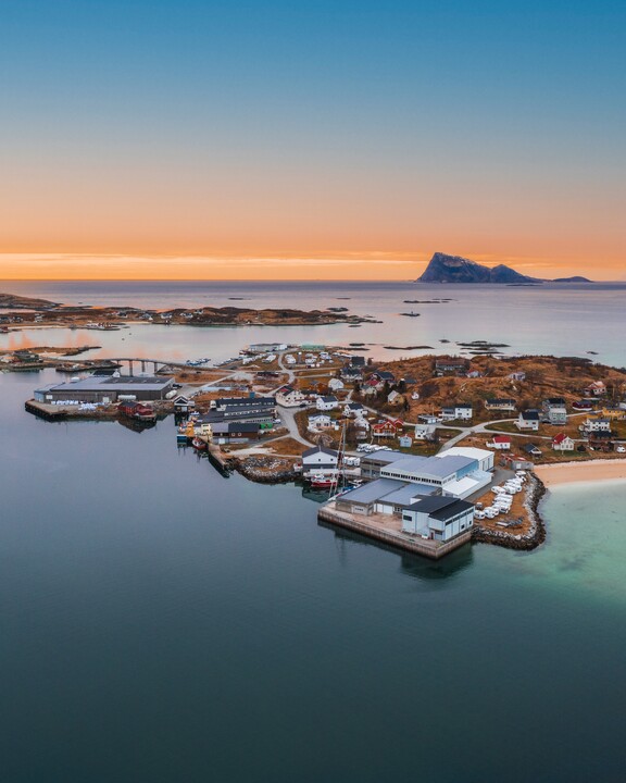
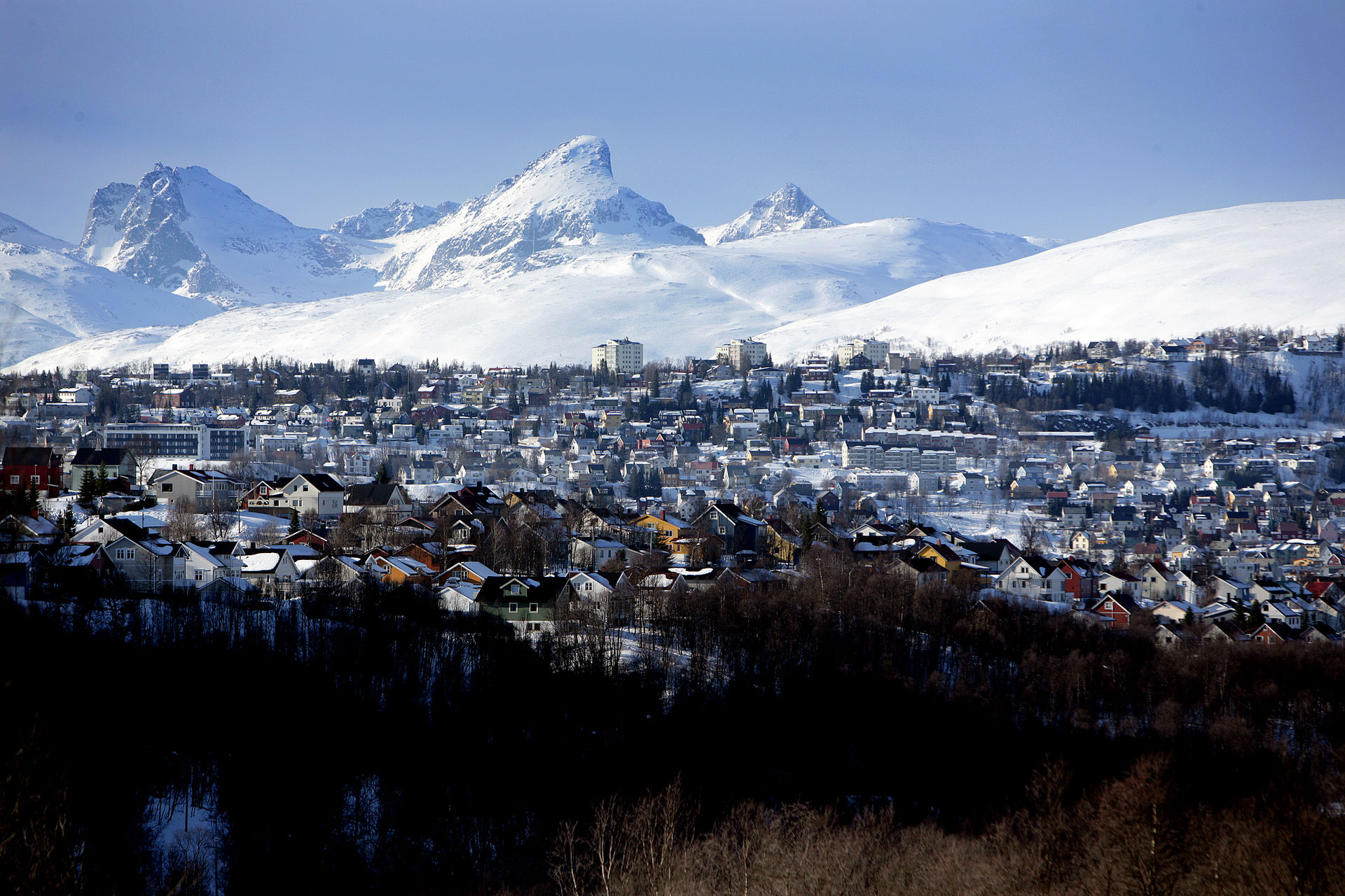
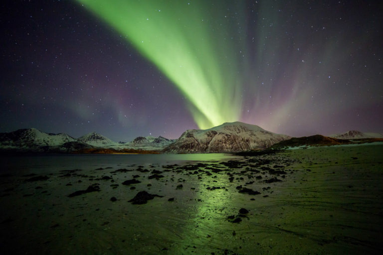
Lunch, light, and lingering steps enchant at Sommarøy
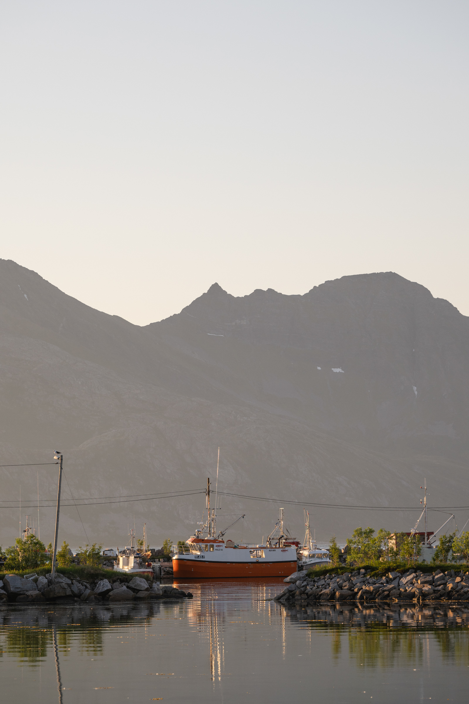
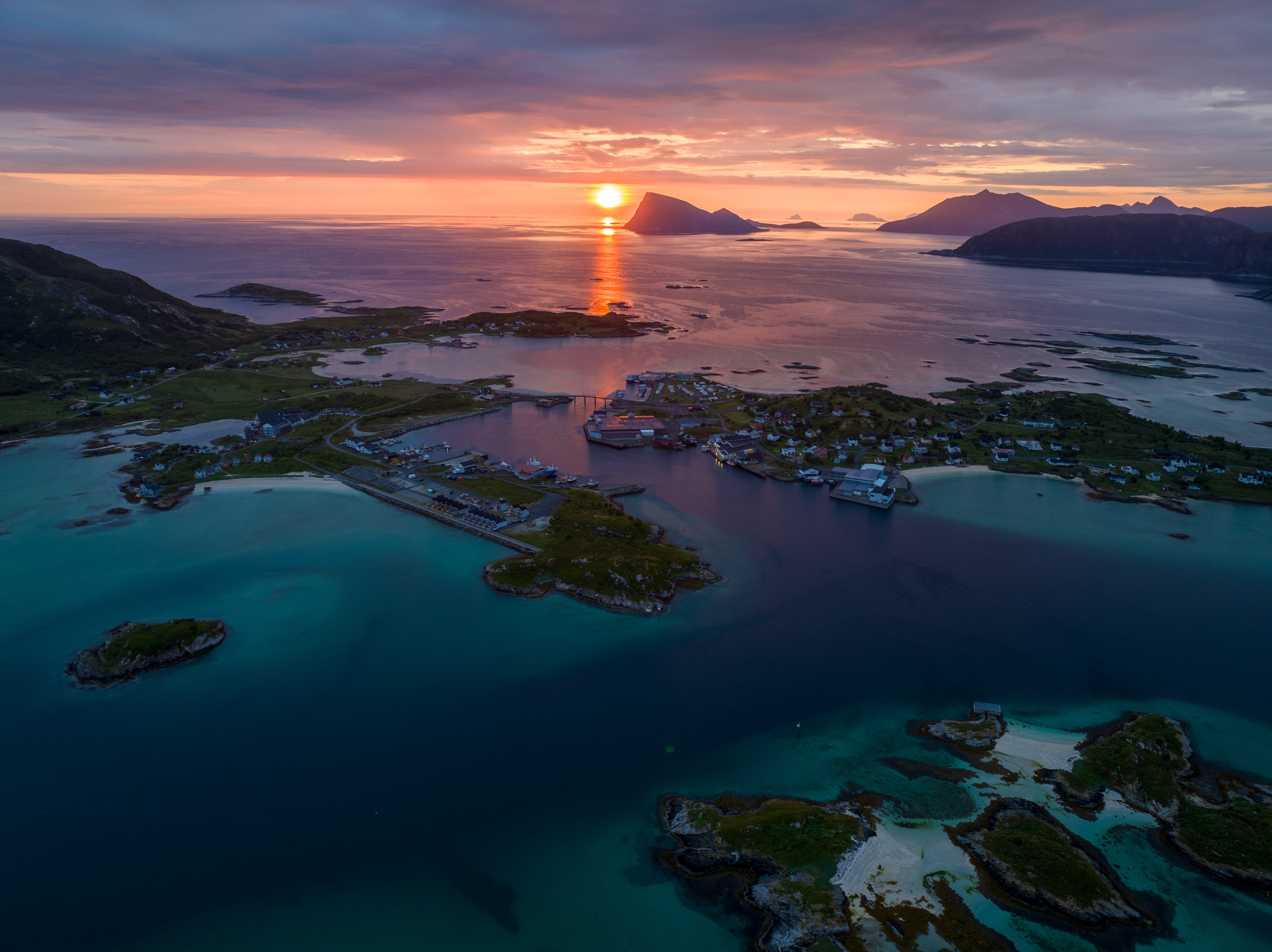
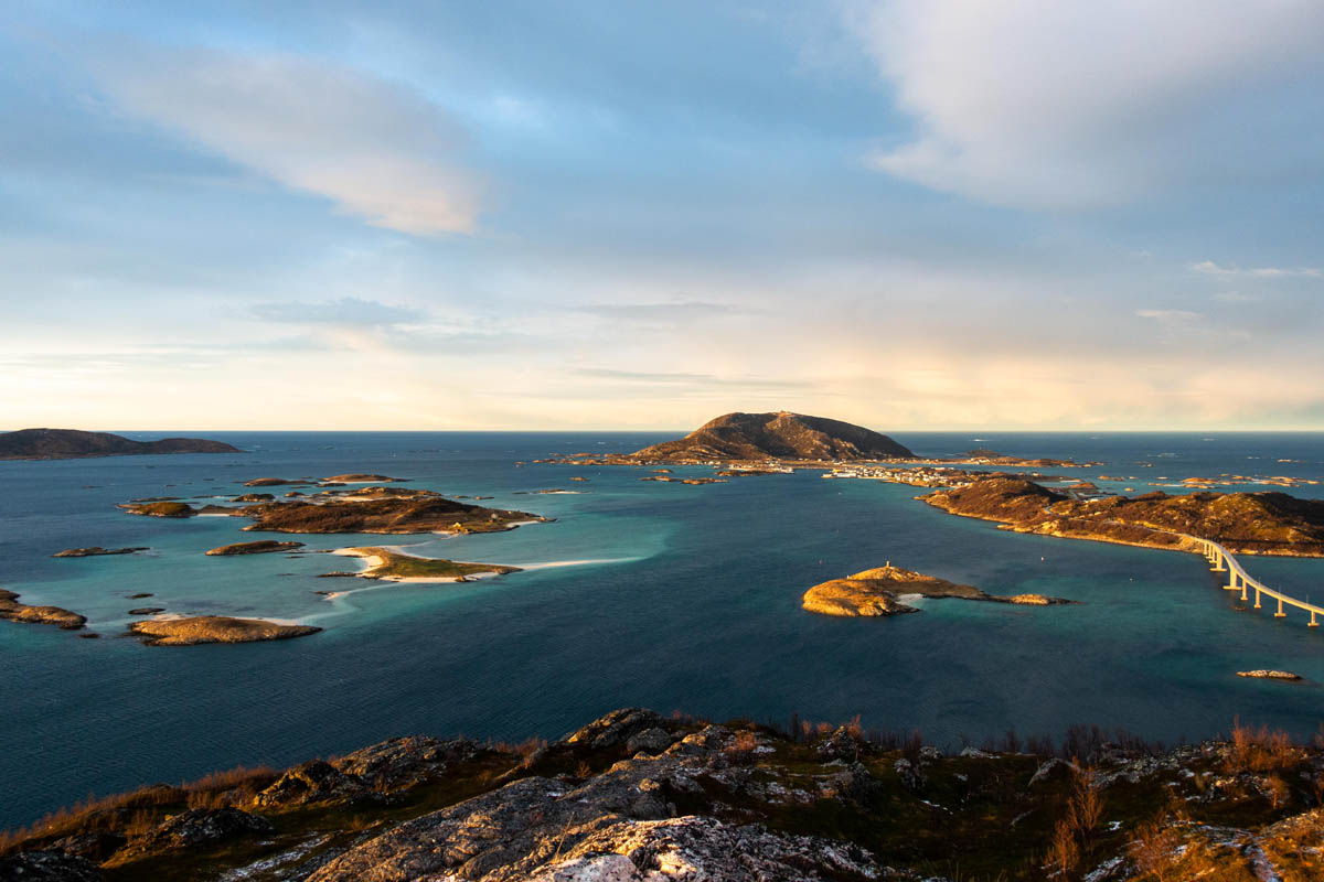
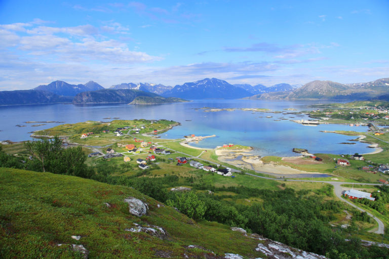
Sommarøy is a fishing village found on a cluster of islands just off the coast from Brensholmen, linked to the bigger Kvaløya by a graceful bridge span. Some 300 people live here, with fishing central to daily life. We suggest a coffee at Havfrua, or maybe dinner at the Sommarøy Hotel, along with a walk along narrow roads through the village.
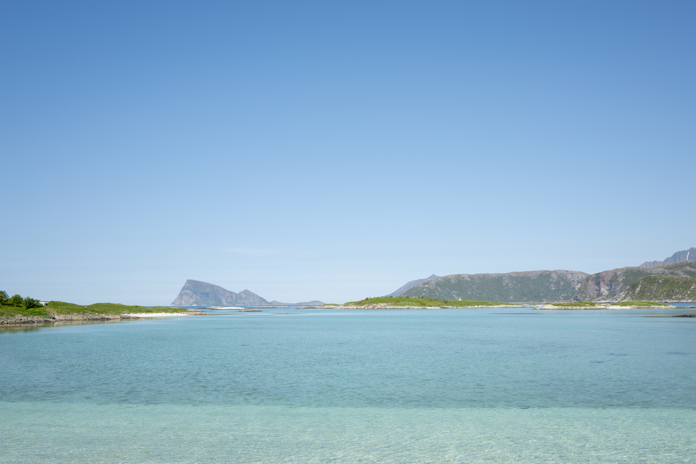
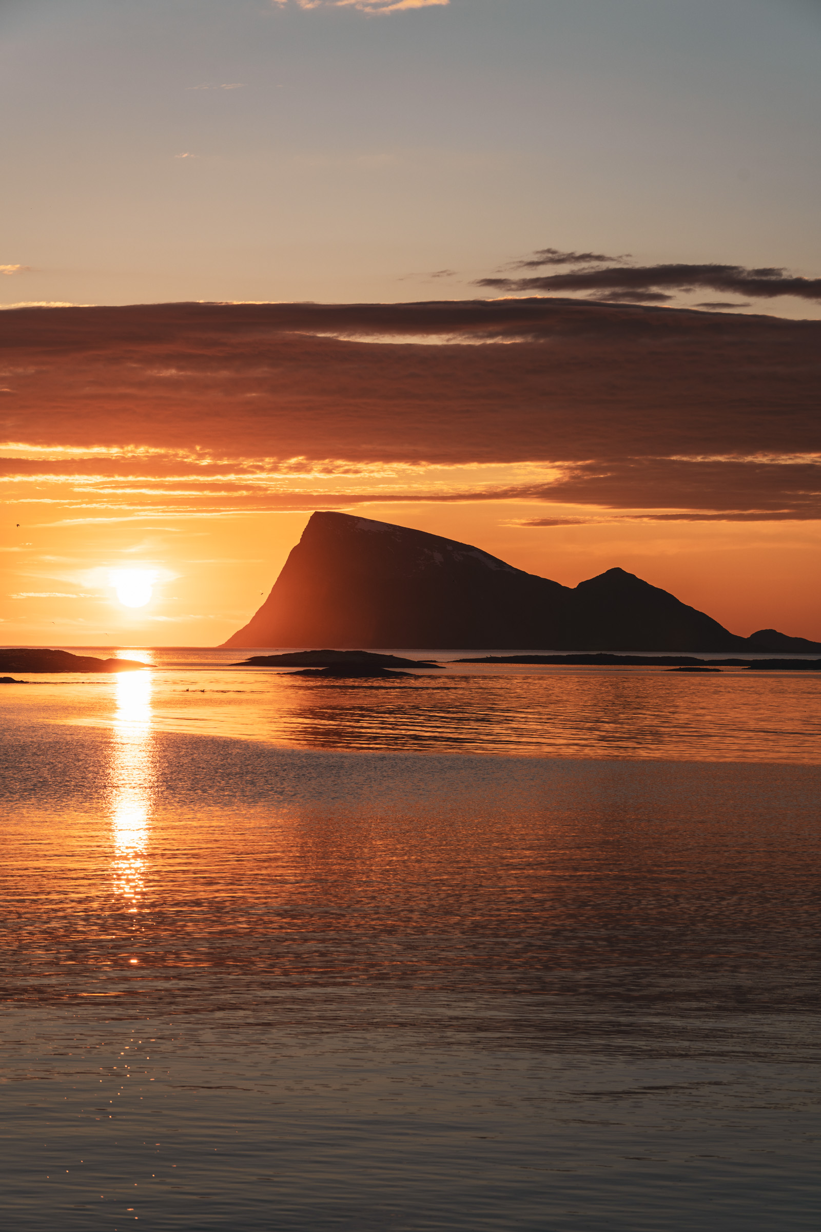
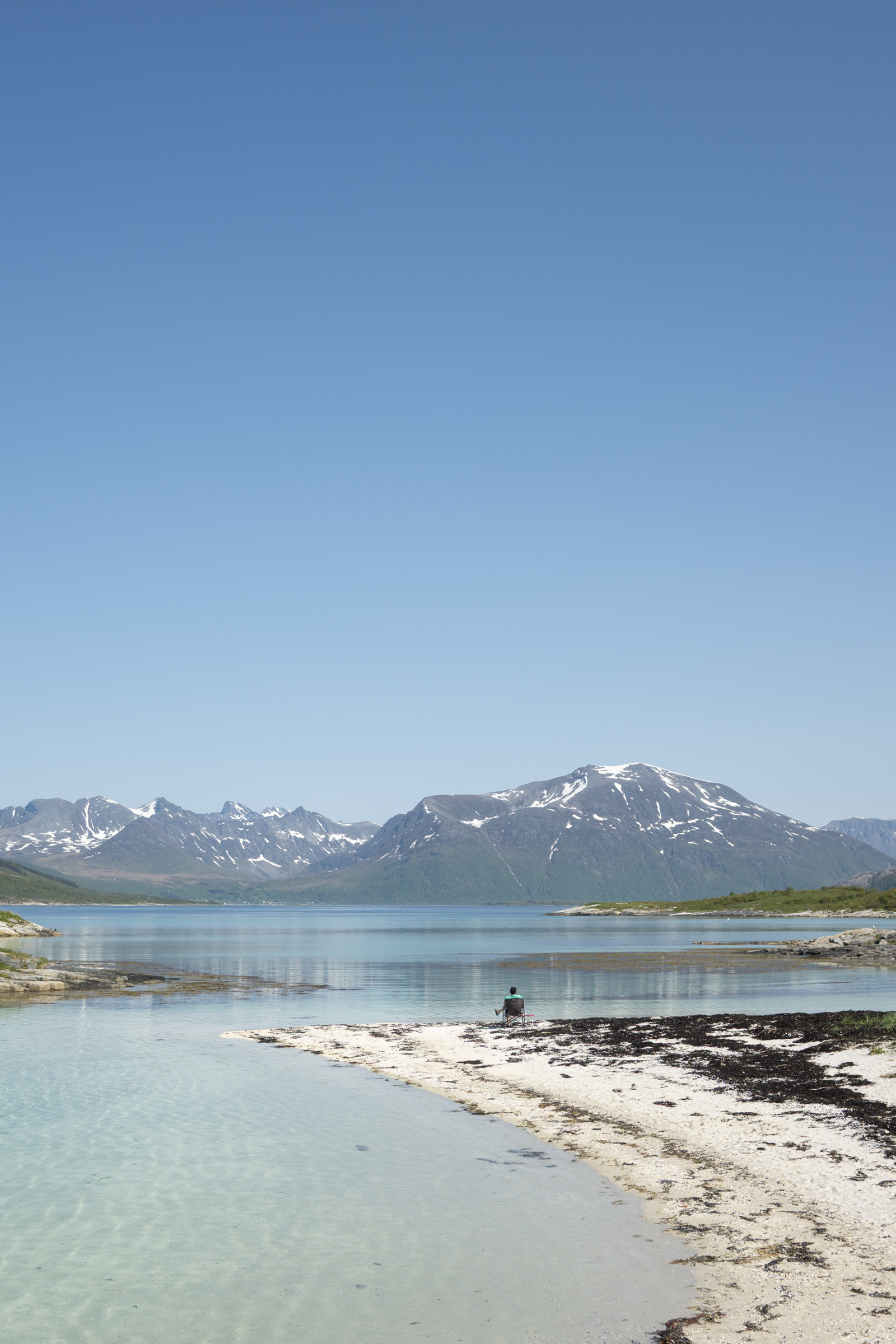
Make sure to explore the white-sand beaches and take lots of photos of the silhouette of the Håja cliff island to the north as well as the distant mountains on Senja island to the south. Two easier hikes offer even better views for those in half-decent shape. Most people find there’s no rush to leave Sommarøy.
Move from coast to fjord in an instant
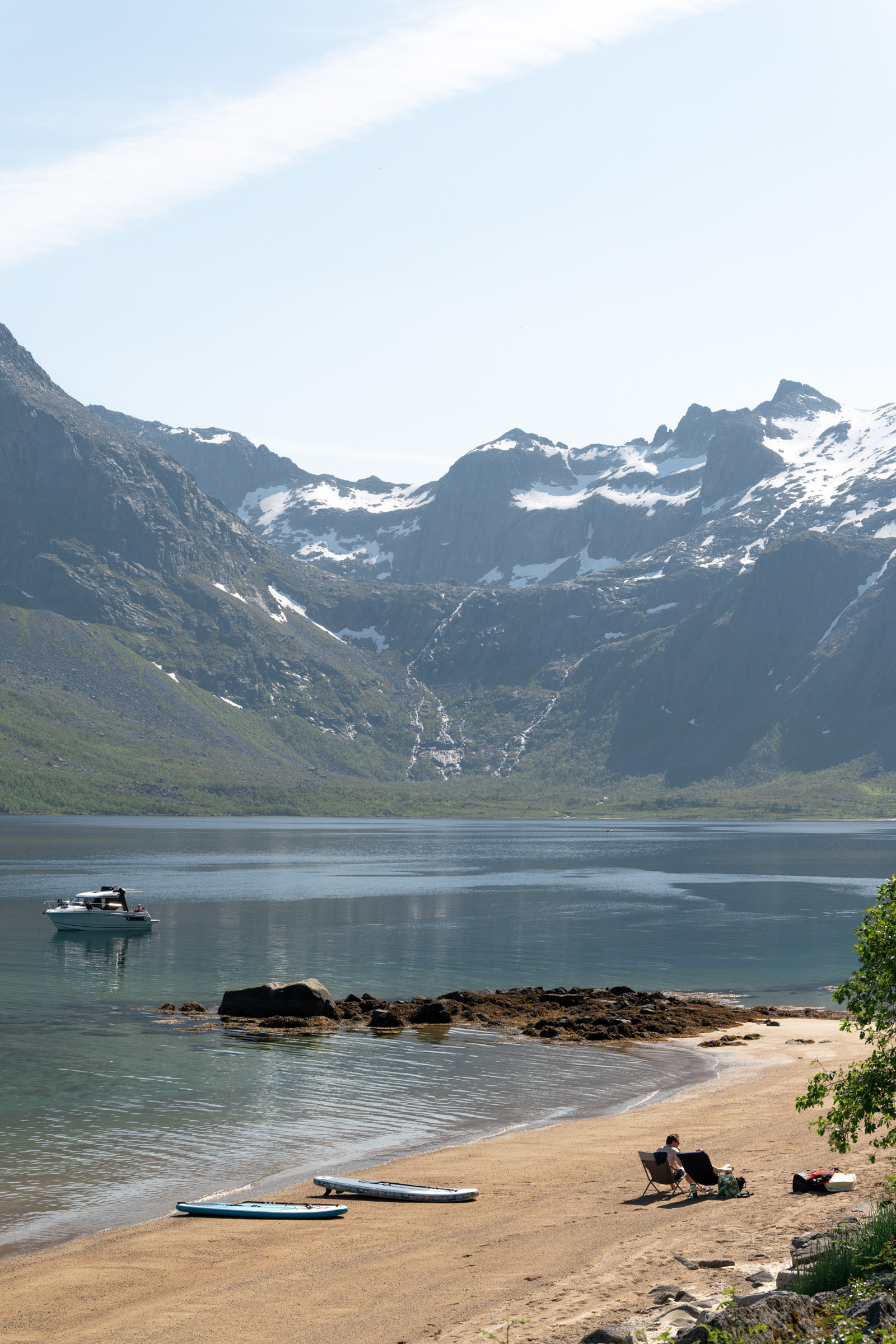
When the “Russian air” – high-pressure systems and warm weather from the southeast – comes in, tromsøites flock to the lovely beaches northeast of Sommarøy. In places like Sandvika and Otervika, they sunbathe, play beach volleyball and swim for at least 30 seconds in the refreshing water. The iron-age house foundation tucked away in the forest above, however, are only visible for a trained eye.
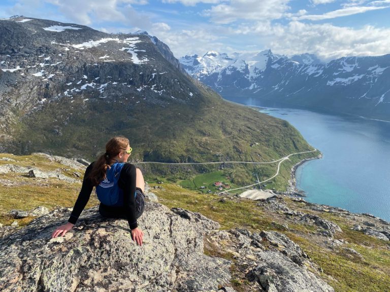
From the little settlement of Sandneshamn, the landscape shifts, as the peaks soar higher. The Kattfjord slices deeply into the mountains, carving out a classic fjord landscape right next to the open Atlantic. Dense birch forests, stretches of farmland, cozy houses, and barn-red boathouses frame the Sørfjorden inlet.
The greatest fjord lies at the end
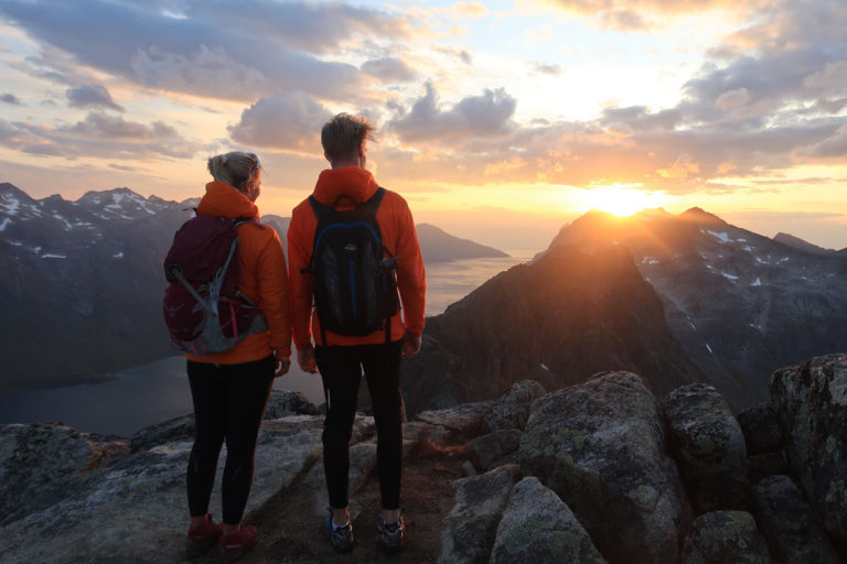
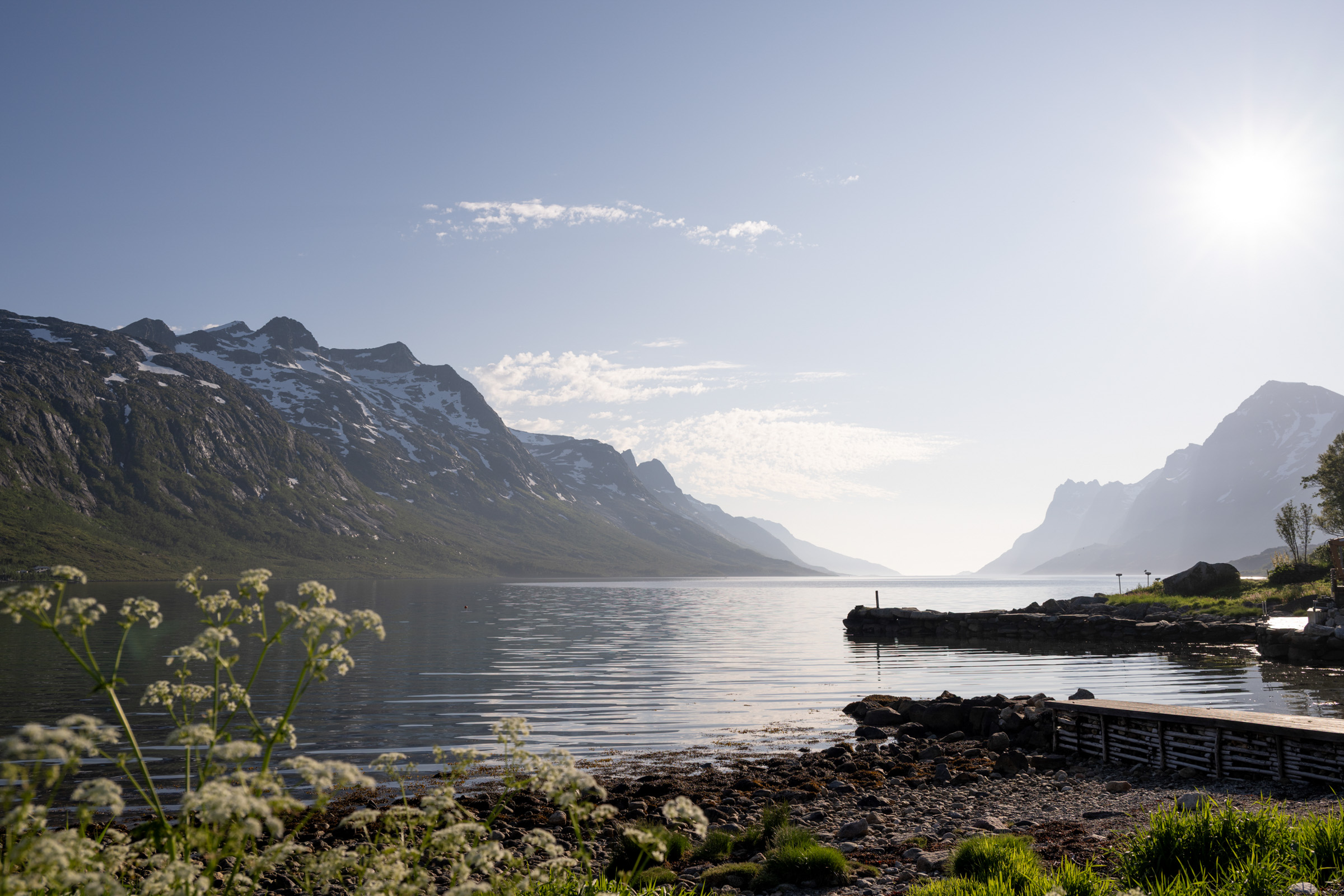
From the head of the fjord, the road climbs uphill to the Kattfjordeidet, a glacial pass through the steep mountains in seemingly untouched wilderness. Soon, another fjord appears on the horizon: the Kaldfjord. Here we suggest a little detour; to yet another fjord, the Ersfjord. Turn left, drive for a few kilometres, and arrive at the village of Ersfjordbotn. This place is a mix of a local village and a suburb to Tromsø, the beauty is the view toward the fjord. 1000 metre high mountains rise from the sea, creating your classic fjord view Take a moment for another coffee, this time at ‘Bryggejentene’, a cozy local café and a popular stop for those venturing from Tromsø. Above all, be sure to take plenty of photos. Tromsø is now just a half-hour drive away.
If you have more time and want more fjords…
There is, in fact more to see on Kvaløya. From Ersfjordbotn, you can continue north under Mount Blåmannen, Kvaløya’s highest mountain rising to 1044 metres. Soon you reach the settlement of Grøtfjord with a fantastic beach facing north. On sunny days, this beach is popular with city folks sunbathing and swimming. Temperatures tend to be on the character-building scale, but the view to Vengsøya Island and the open Atlantic is great and the sand is white and powdery. Past the village of Grøtfjord, the rocky, brooding peaks around the still, black mirror of the Grøtfjord both impress and intimidate.
You finally arrive in Tromvik, a compact, colourful little village of around 100 people. Turn back here – or keep going along the narrow, winding road to Rekvik, where a handful of residents enjoy front-row views of the open ocean. You’ve officially run out of road. Turn around, and take your new favourite fjord views with you.
Good to know about Kvaløya Island
Kvaløya is Norway’s 5th biggest island, and is found immediately west of the city of Tromsø, and there is a bridge linking the island to Tromsø, the 1222 metre long Sandnessundbrua – Sandnessund brigde. In fact, Tromsø’s urbans sprawl is spilling over to Kvaløya Island, although most of Kvaløya is rural. The island’s highest peak is Mount Blåmannen, at 1044 metres. The Oskal family, a Sami family of reindeer herders, has its reindeer on the island year-round.
From whereever you are in Tromsø, follow the signage to the airport. Continue on the 862 to Eidkjosen. There, take a left onto the 858. At Larseng, you avoid the tunnel, and continue on the 7764 to Brensholmen. Here, you take a left to the 862 and cross over to Sommarøy. Back from Sommarøy, you can follow the 862 all the way to Tromsø. However, for the detours to Ersfjordbotn and Tromvik, you follow the 7768. Very few people get lost on this distance, but consulting an online map is still a good idea.
Sommarøy has both a rather stylish hotel with a restaurant, and a simple, cozy cafe, Havfrua. We love both of them. The Bryggejentene in Ersfjordbotn has coffee, cakes and light lunches, and is immensely popular in Tromsø.
Yes, people do it all year. We do not recommend to drive on snow here if you haven’t done it before, though. Our narrow roads take a bit of experience in winter conditions.
Animals in the road represent the biggest risk. Both reindeer, own by the Sami, and wild elk – moose – have a tendency to spend time in the middle of the road. This is the case all year. Solution? Be on the lookout.
Unfortunately, the buses are few and far between. For an easy fjord visit, you can take the bus to Ersfjordbotn Monday to Friday relatively easy. Otherwise, day trips out of Tromsø are difficult. For updated bus and boat info, consult the country public transport company Svipper.
Look no further than Visit Tromsø, the visitor’s centre – tourist information – of the city.