When I was 10, my grandfather gave me “Heimskringla” – the saga of the Norwegian kings written by the Icelandic Snorri Sturluson. The message was clear – know your history, boy. No story could capture the imagination of a 10-year-old boy like the conflict between Tore Hund and King Olav. I disembarked from the catamaran on Bjarkøy with a sense of reverence and anticipation, where Bjørn Johannessen, the leader of the local history club, was waiting to take me on a tour focused on Tore Hund.
We saw the Viking age Rolls Royce garage
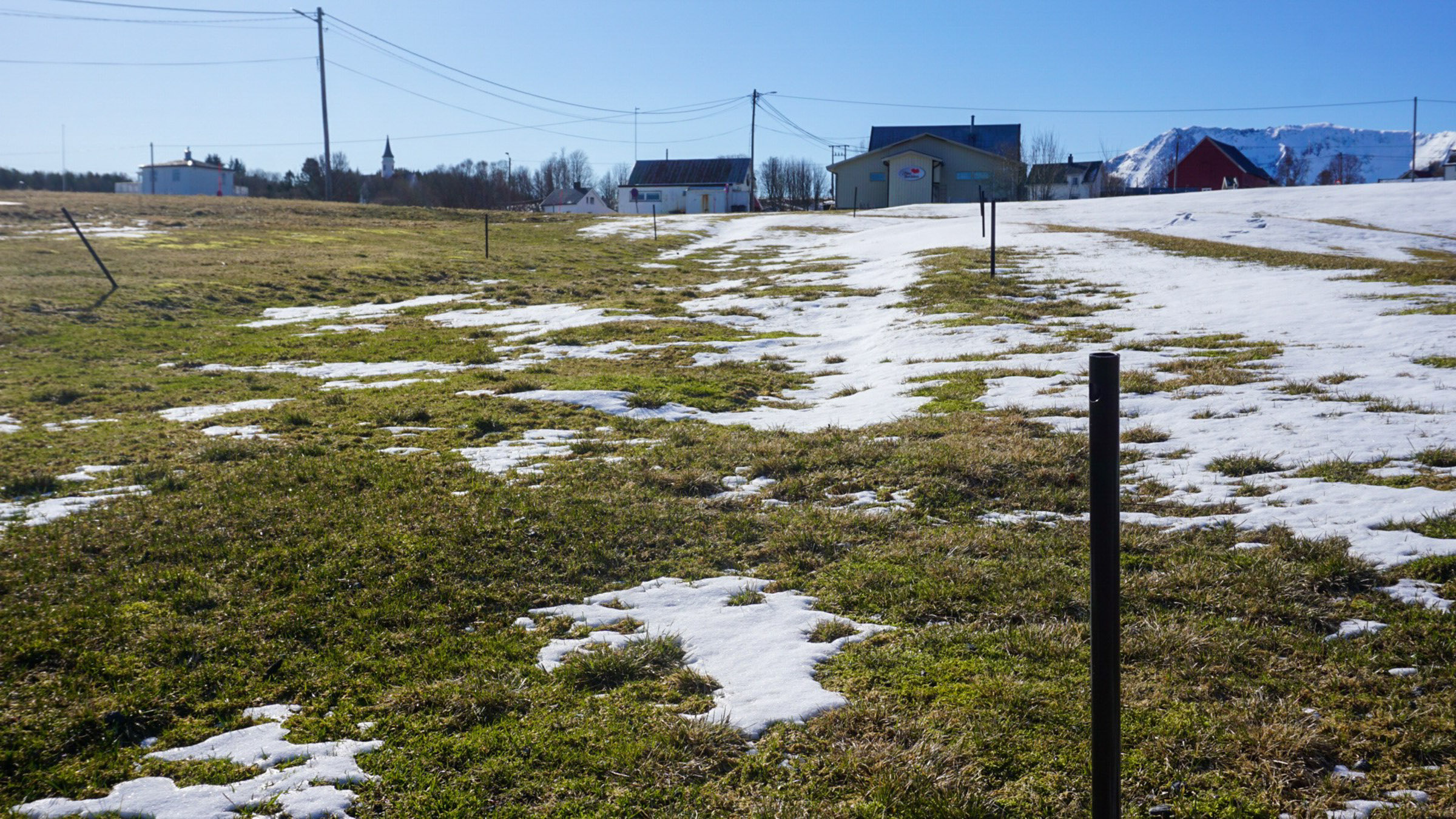
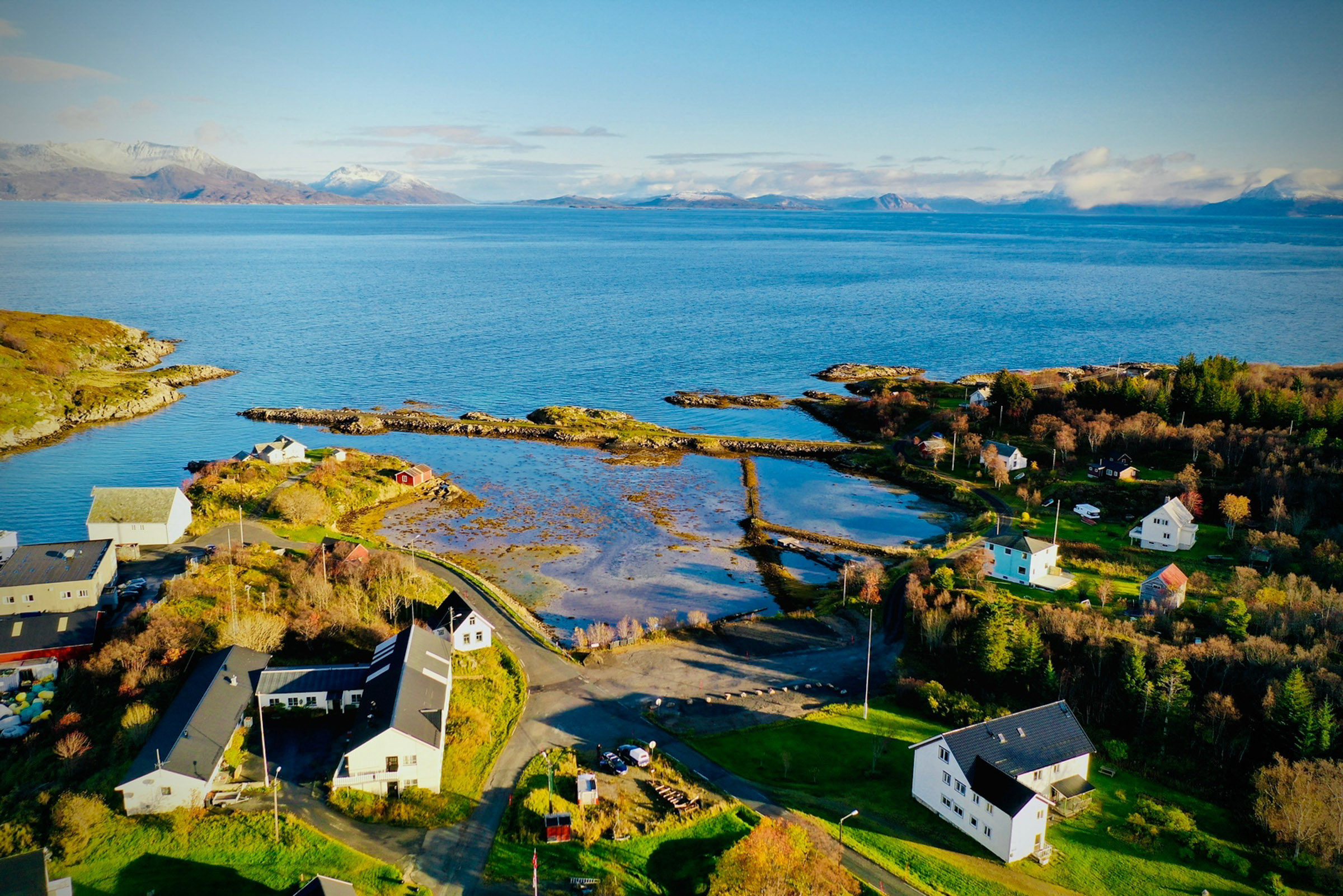
We didn’t have to walk far up the hill from the quay before we arrived at the boathouse. The fresh snow made the grass stick up, and we could feel the elevation of the uneven ground. These are the remains of Tore Hund’s ship boathouse. Iron rods were placed along the walls, allowing us to see the outline of the boathouse, and therefore the ship. The Gokstad ship, the largest preserved Viking ship, was rowed by 32 men and is 23 meters long. The ship at Bjarkøy may have been up to 30 meters long and was rowed by 40 men. It must haven been an impressive and intimidating sight.
Was it really Tore Hund’s ship?
Although we cannot prove beyond any doubt that Tore Hund stored his ship in this giant boathouse, a ship this size would have belonged to the mightiest clan in the area, the Bjarkøyætta (Bjarkøy Clan). Additionally, we know that big ships were built in Northern Norway, such as the Ormen (The Snake), a giant ship seized from the chieftain Rauðr inn rammi near Bodø. A boat sewn together with leather strips from the Viking era in Øksnes, Vesterålen Islands, points to a combination of Sami and Norwegian boat building techniques. Personally, I have no doubt that this is Tore Hund’s boathouse.
The landscape is reminiscent of the Viking age
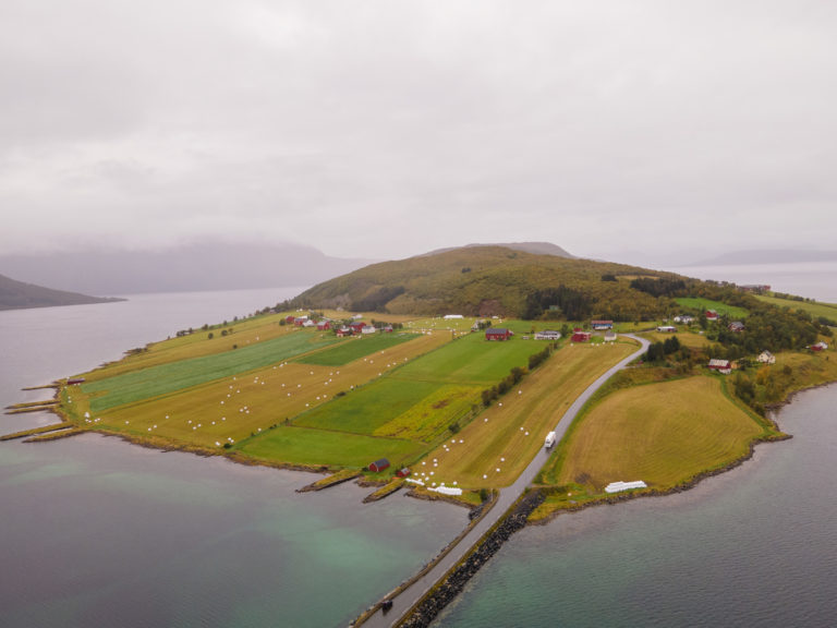
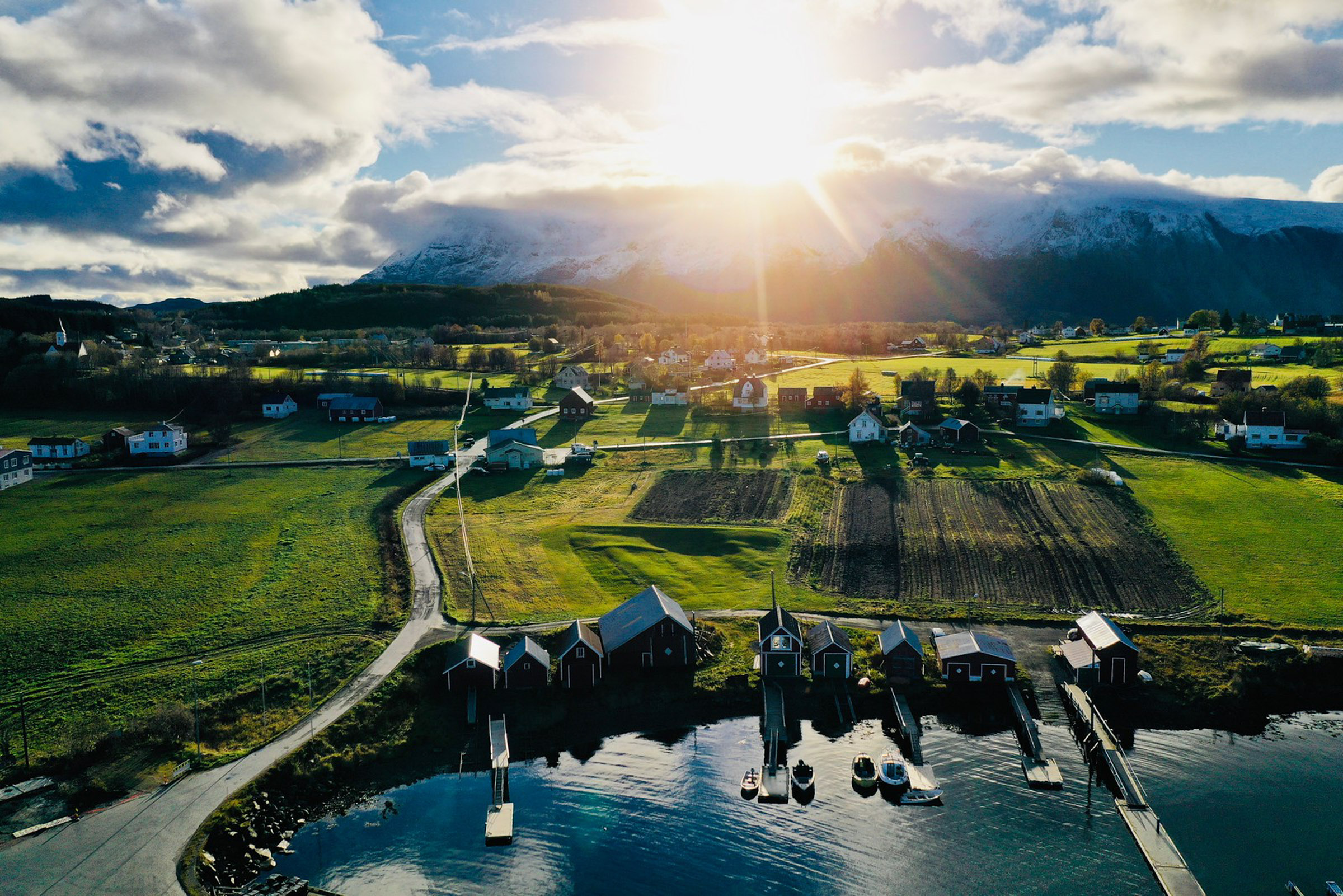
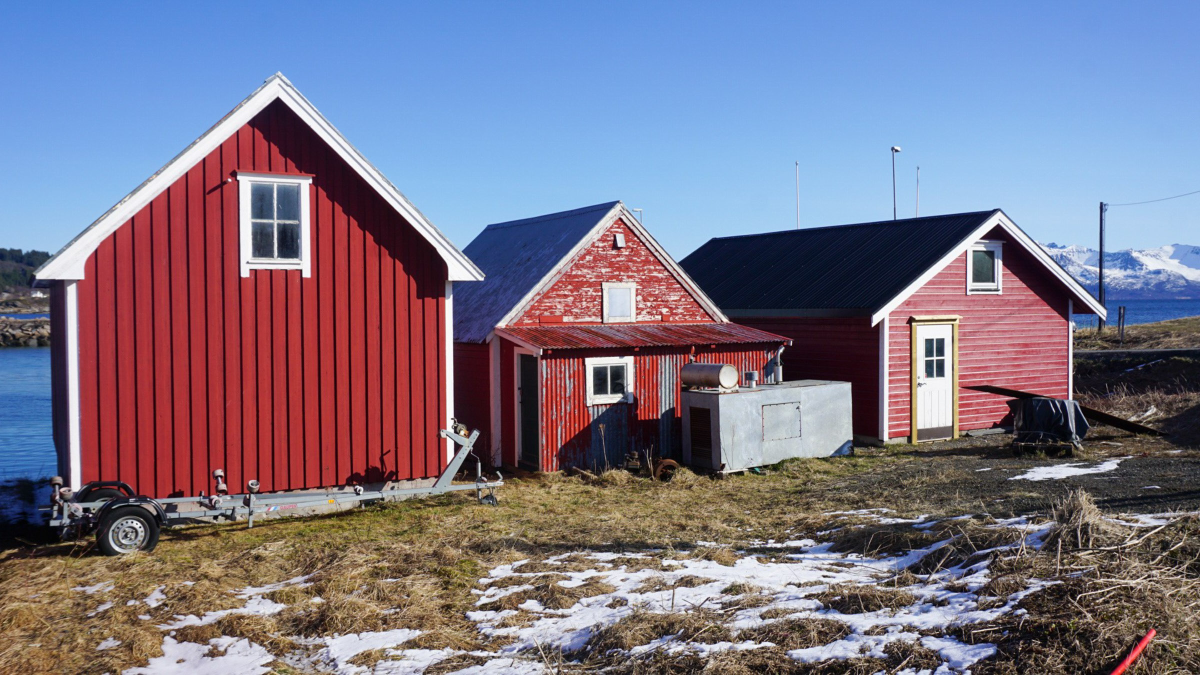
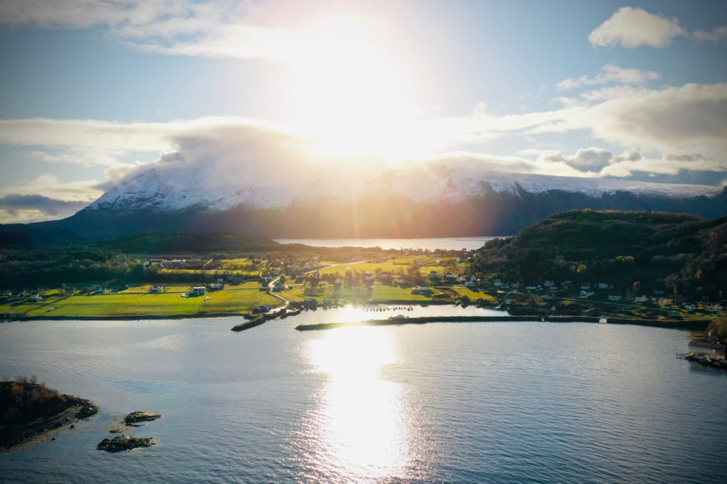
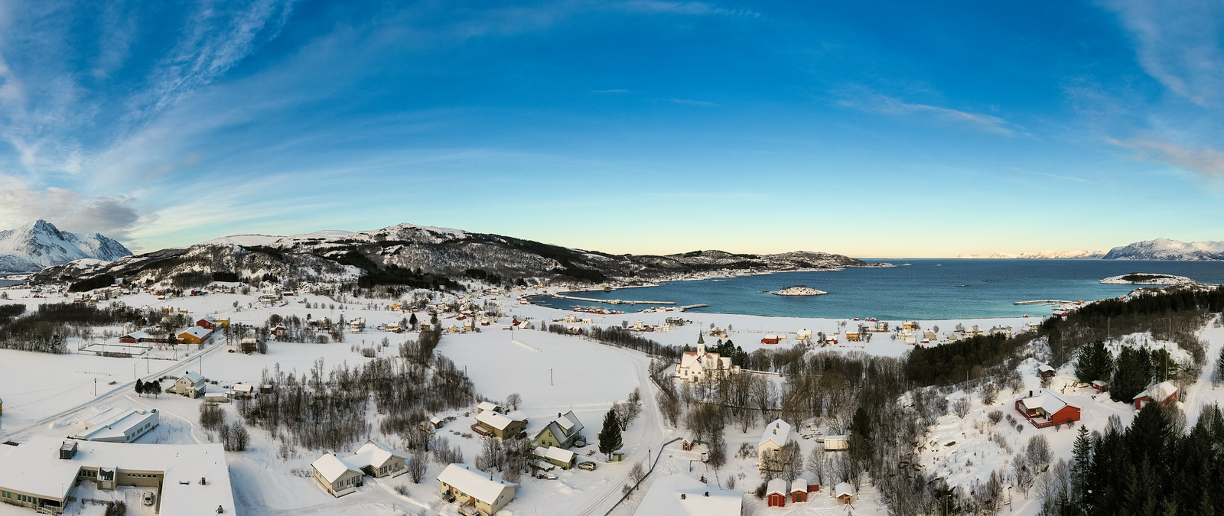
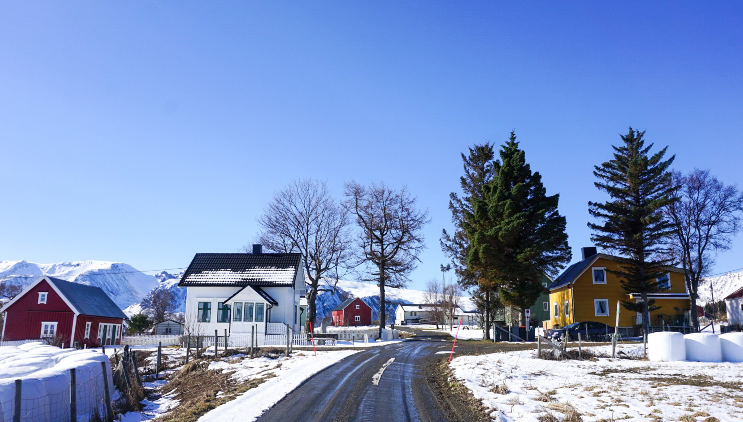
We gazed up the hill from the boathouse to see a row of houses perched above the fields. Some of them were modern, while others were old and beautiful, creating a picturesque view. In the Viking Age, there were likely fewer but larger houses in this area, with space for livestock at one end and people at the other. It is easy to imagine that Tore Hund’s farm was located directly above the boathouse, overlooking the bay, but there are no visible traces of this. Below the ship, there is a row of red-painted boathouses, some old, some new. Due to the natural elevation of the land in Scandinavia, these boathouses are a fair bit lower than Tore Hund’s boathouse.
The drama around Tore Hund – a summary
The chieftaincy at Bjarkøy possibly goes back to the 2-300s. Tore Hund was maybe born around 980-90, and was thus part of this dynasty. Probably he could speak at least some Sami, and possibly also had in laws among leading Sami families.
King Olav II, later Saint Olav, sought from his ascension to the throne in 1015 both to centralise power and convert all Norway to Christianity. This was carried out with a fair bit of Viking style use of power. Tore Hund and the other chieftains rightly feared their influence could be reduced. Tore Hund allied himself with chieftains along the waterway from Northern Norway down to the western coast, forming a mighty opposition to the king.
In the early 1020’ies the grain harvest failed in the north. The king introduced an export ban from the south to the north, so when Tore’s nephew, Asbjørn, sailed south to buy grain, nobody dared sell him any. He then killed one of the king’s men, Tore Sel, gaining him the name Asbjørn Selsbane (killer of Sel), and could then buy grain from his allies. But in 1024, Asbjørn was killed by another of the king’s men on a mission in Lofoten. Asbjørn’s mother and Tore’s sister in law, Sigrid, gave the spear that killed Asbjørn to Tore Hund, and urged him to avenge Asbjørn. The conflict of interest had turned personal!
In 1028, Tore along with his powerful southern allies, had Olav dethroned. Instead, Canute of Denmark and England became the king of Norway. Olav fled to Gardariki (Russia). In 1030 he returned to claim his kingdom. The powerful chieftains of Norway mobilised, and at Stiklestad northeast of Trondheim, they engaged Olav’s army in battle. Tore was on the ready with Selshevneren (The Sel avenger), the sword that killed Asbjørn. He killed Olav on the battlefield and restored his and his family’s honour. The opposition had finally vanquished the king.
According to the saga, Tore looked after the king’s dead body. The wound on Tore’s hand healed by the blood of the king, and the king’s face looked peaceful as if he was sleeping. Miracles started to happen, and Olav became a saint. Tore left on a pilgrimage to Jorsal (Jerusalem in old Norse) and never returned, according to Heimskringla. Other sources give other explanations.
The big drama is written by the masterful saga writer Snorri Sturluson (modern Norwegian spelling Snorre Sturlason). In his work Heimskringla, he describes Saint Olav, Tore Hund and the big events in detail. It is, however, written around 1220, some 190 years after the drama. Although Snorri quotes the contemporary bards, we must assume there was a fair bit of dramatising going on. The drama is also mentioned in numerous other manuscripts from the late 12th and 13th century.
The main source, apart from Bjørn’s information, is the booklet “Fotefar mot nord” from Bjarkøy. The “Fotefar mot nord” project presented one historic attraction from each municipality in Northern Norway. Bjarkøy, a separate municipality at the time, chose the historic landscape on the island as its contribution. This can be read digitally the National Library’s website, with a summary in English/German.
The Tore Hund memorial tells the story
We walked a few leisurely meters uphill to the Tore Hund memorial, which was erected in 1980. The reliefs, made by Svein Haavarsholm, depict the story of Tore, Asbjørn, and Sigrid. From here, the view is stunning, with the bay below and the church up on the hillside.
The church dates from 1765
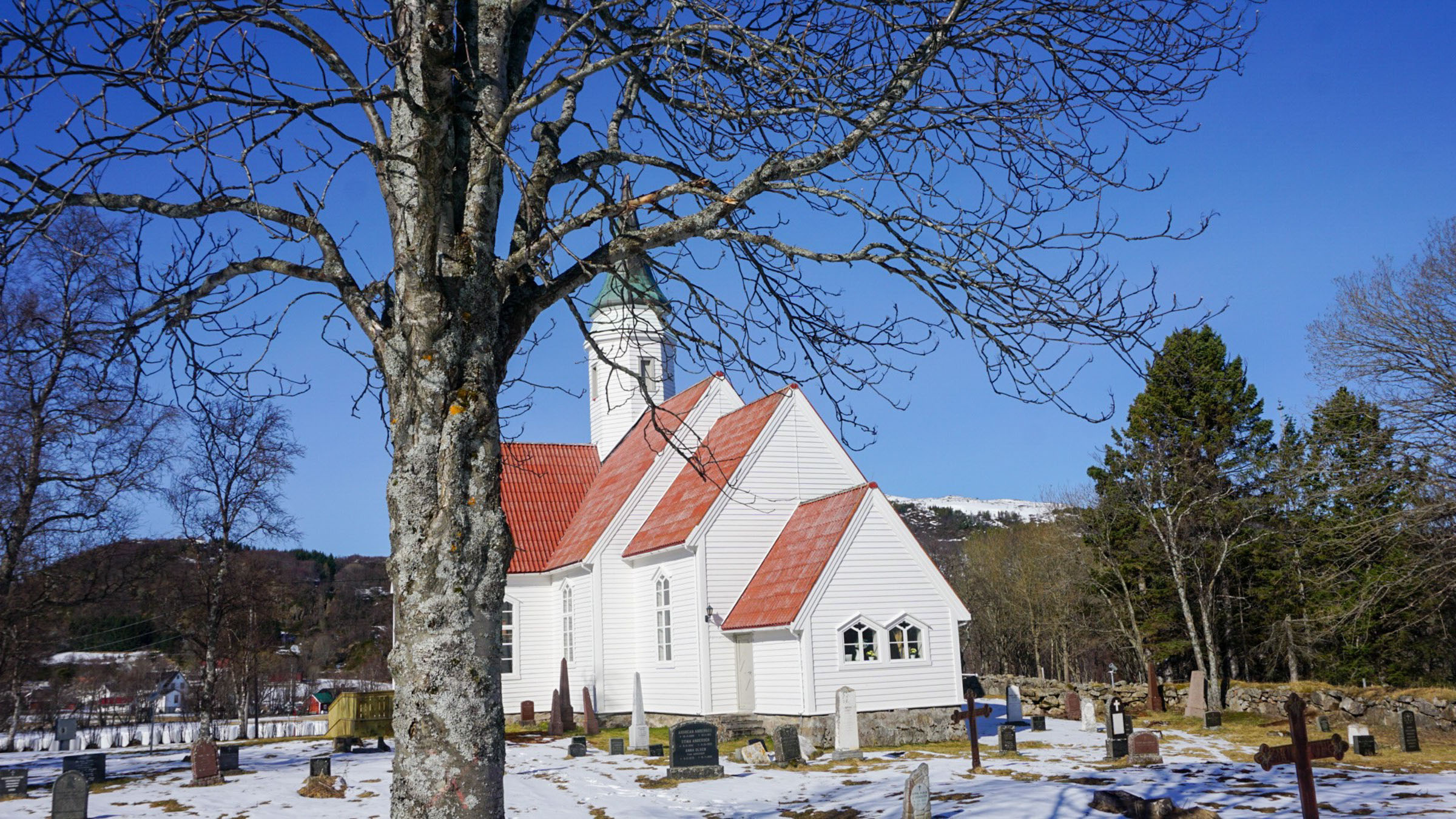
The church of Bjarkøy has an interesting history. After the Battle of Stiklestad in 1030, the people of Bjarkøy converted to Christianity. A church is mentioned as far back as 1264, but it may have existed even earlier. In the 18th century, the church was torn down, and the present church was built on the neighboring island of Sandsøy in 1765. In 1885, it was moved to Bjarkøy because the island had gained many supporters of baptism. To ensure the presence of the established Lutheran church, they decided to move the church. The wooden church was disassembled, and the logs were numbered and marked before being floated to Bjarkøy. It is an impressive church with a central tower.
Follow the tracks of Tore Hund on Bjarkøy
Bjarkøy catamaran dock
This is where most people arrive.
Tore Hund's boathouse
Markers in the field show the outline of the 30 metre boathouse
Tore Hund monument
A standing stone with relieffs dating from 1980. Great views!
Bjarkøy church
Stately wooden church, surrounded by old graves
The arrow
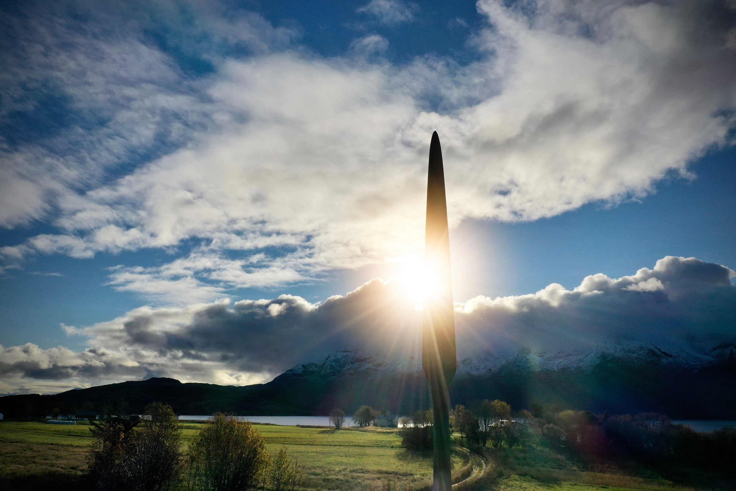
“Pila” – the arrow – is a standing stone from the iron age
Ole Ottesastua
House from 1870, built on thick cultural layers. There is a grave field, Frihågen, in the hillside behind.
Øvergårsvika grave field
Walk down to the sea, and see the visible graves along the seafront, along with fairly big boathouse remnants.
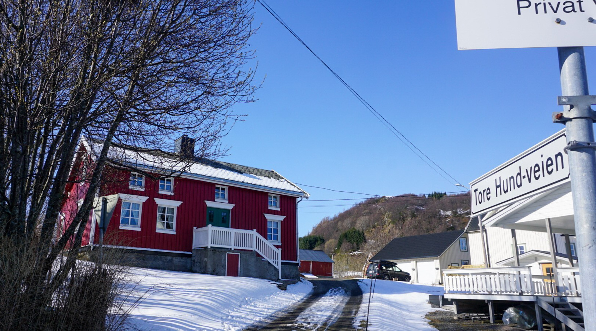
Tore Hund-veien
Just a picturesque part of Bjarkøy you should include in your wanderings
The shop
The shop has a cafe added.
The cemetery is full of old graves
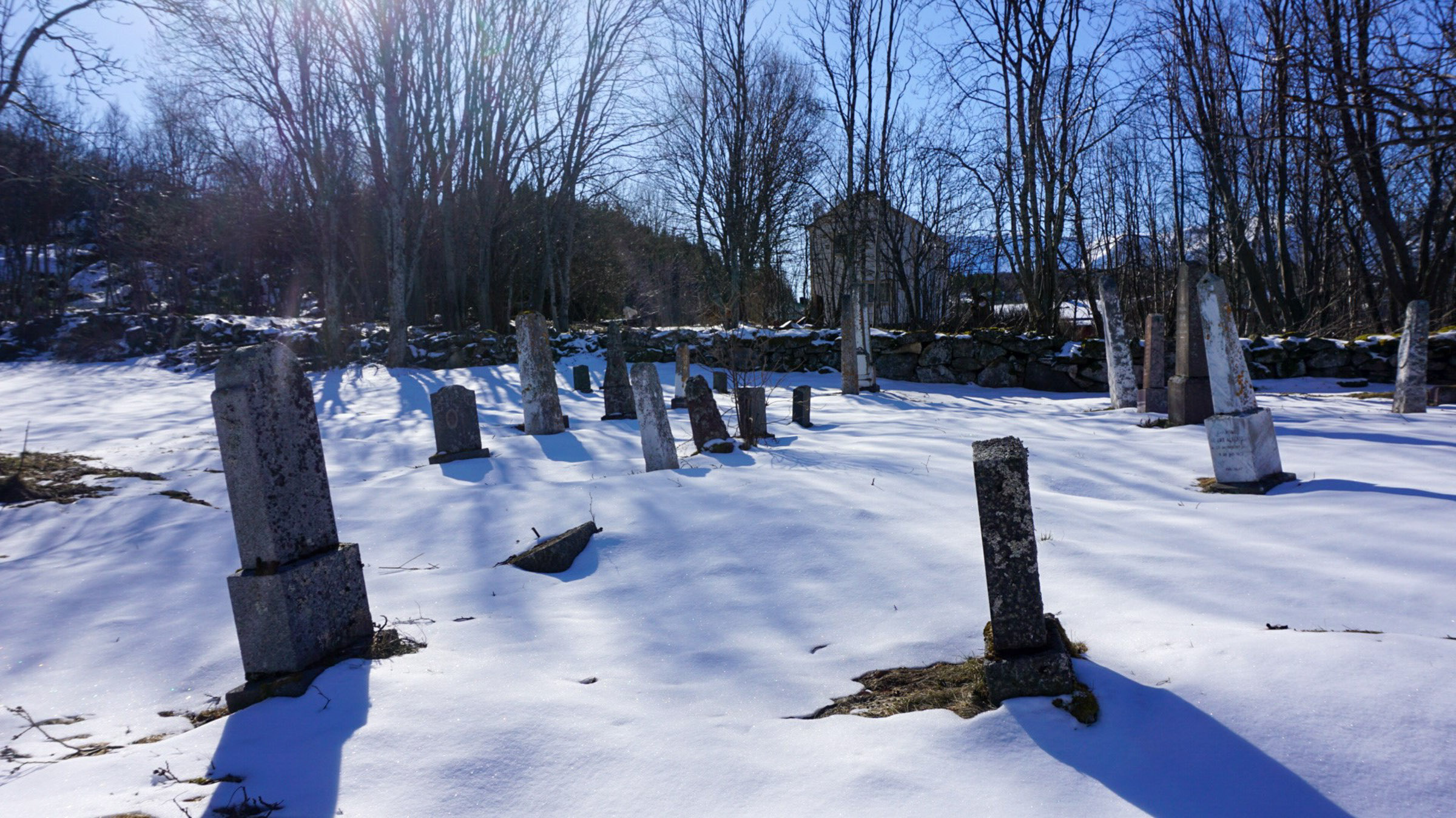
The cemetery surrounding the church is adorned with old and imposing gravestones. However, many of these gravestones are no longer taken care of, and during winter, some of them even topple over due to the frost. One may wonder why nobody bothers to straighten them up again, but Bjørn clarified that this is a deliberate decision. The old graves are left to the elements, allowing them to be weathered by wind, rain, and snow, and overgrown with moss and lichen. This adds to the cemetery’s ambiance of slow decay, which is beautiful in its own way.
Trolls tend to quarrel
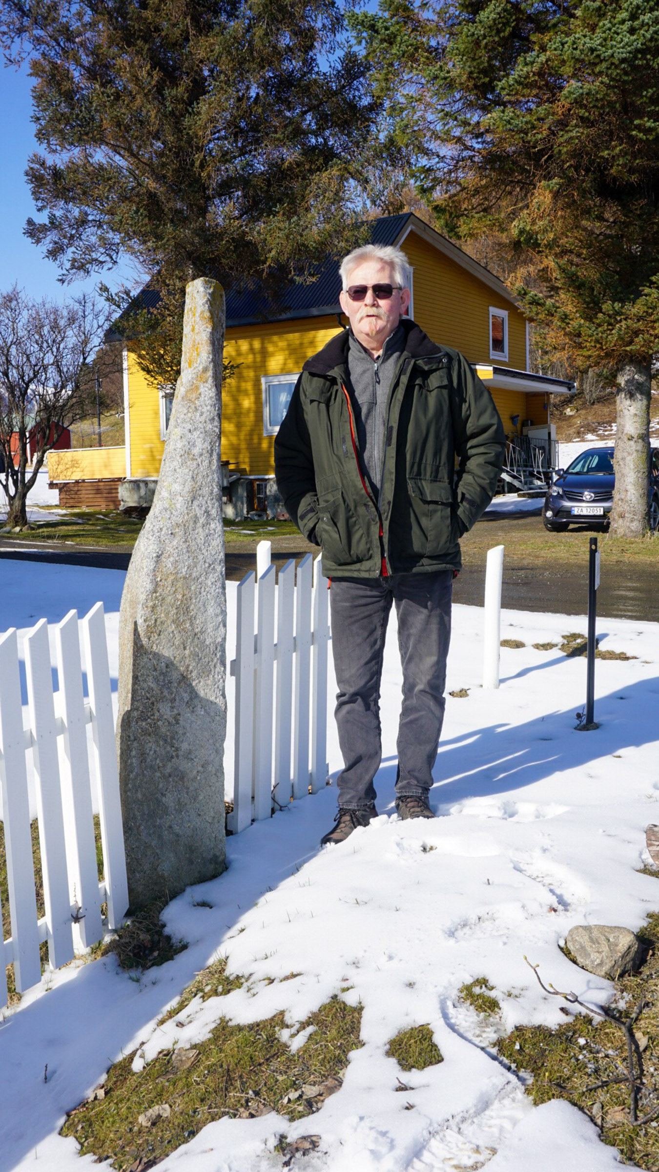
“Pila” – the arrow – is a prehistoric standing stone found along the fence between two farms, a short walk uphill from the church. Local lore has it that the Kvæfjord Troll, eager to ruin the church of Bjarkøy, sent an arrow from his fjord to the island. But as trolls have poor eyesight, it landed there. Ironically, in Kvæfjord they have a similar arrow – another standing stone – this time sent from the troll called Tore Hund in Bjarkøy. Fortunately, the church of Kvæfjord was saved by hitting the top of a mountain midway and losing speed. Angry trolls seemed to be a peril for early churches.
Pila possibly marks a grave
The function and age of “Pila” – the arrow – is uncertain. It seems to relate to old graves, either placed on top or marking the outline of the grave. They mostly date from the iron age. There were several of these standing stones around, but at some point in the last few centuries, they were removed, either because they were in the way or because one could use the rock. However, the Pila was probably saved because it is found on the border between two fields.
Øvergård is another possible Tore Hund location
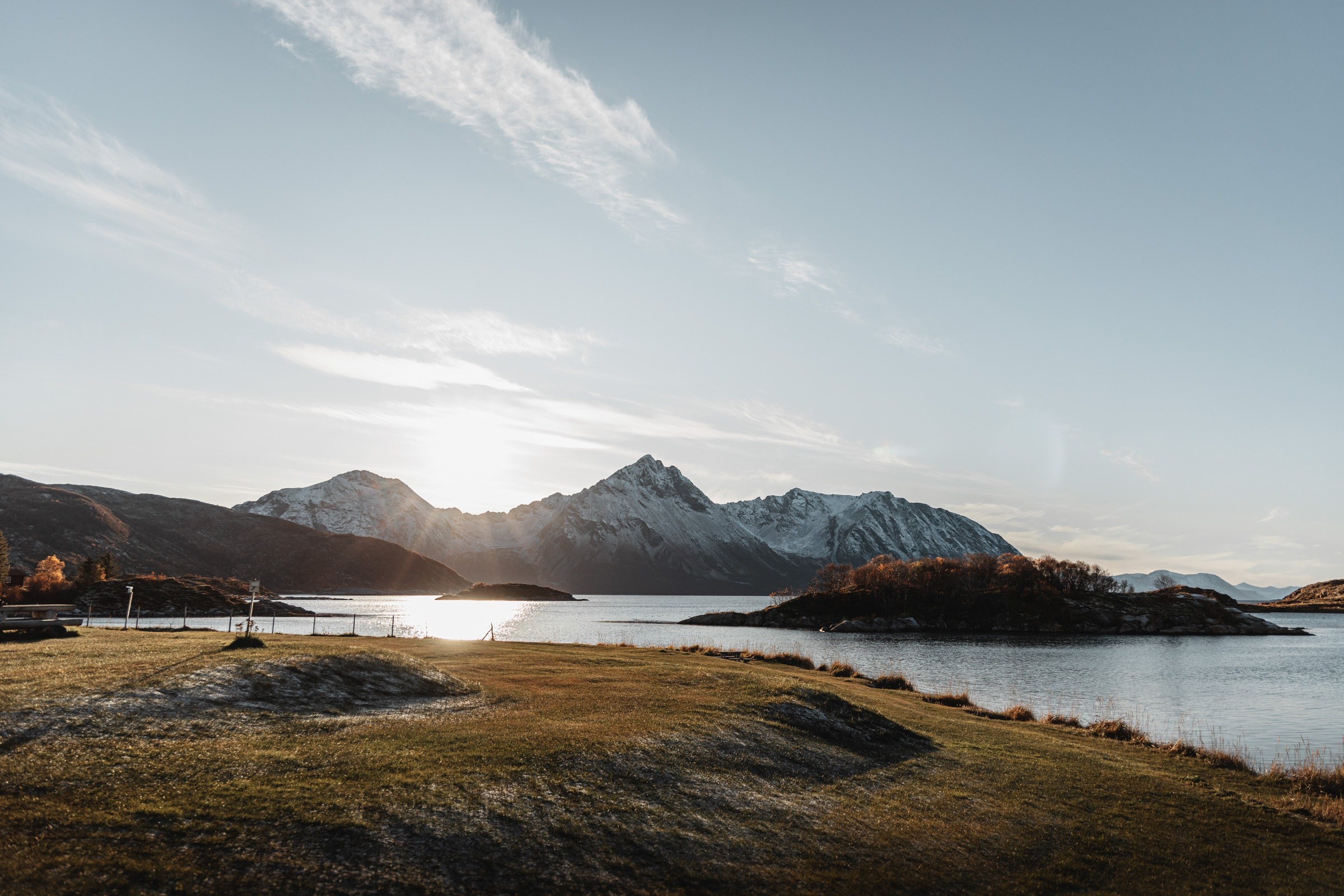
Øvergård (“Upper farm”) is one of the oldest continuously settled areas on the island. Dwellings have been built here, have decayed and vanished and new houses built on top for at least 2000 years. In a circle of about 100-150 metres in circumference, the cultural layers are 1,5 metres deep. Since there are several buildings around, no archaeological digs have taken place. Maybe Tore Hund lived up here, with a full view of the bay in the north, and down to the Øvergårdsvika bay in the south. Across the water, one can see the step, majestic peaks of the Grytøya island; a stately place to live for a chieftain.
Ole Ottesen-stua is the little local museum
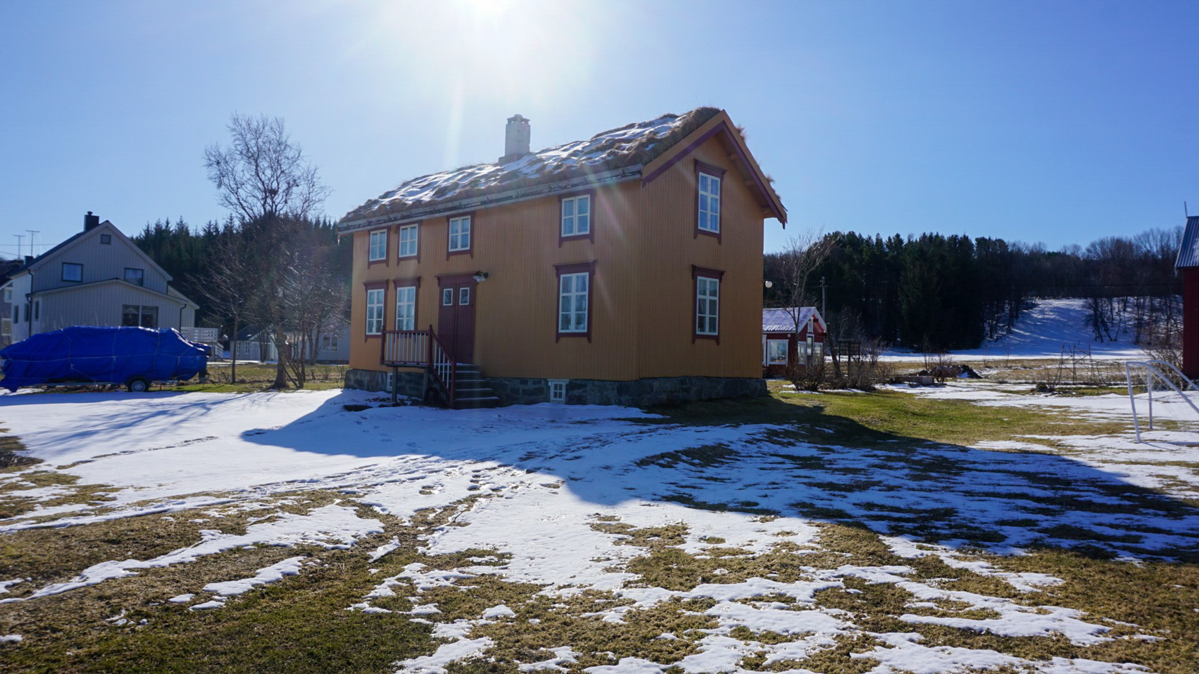
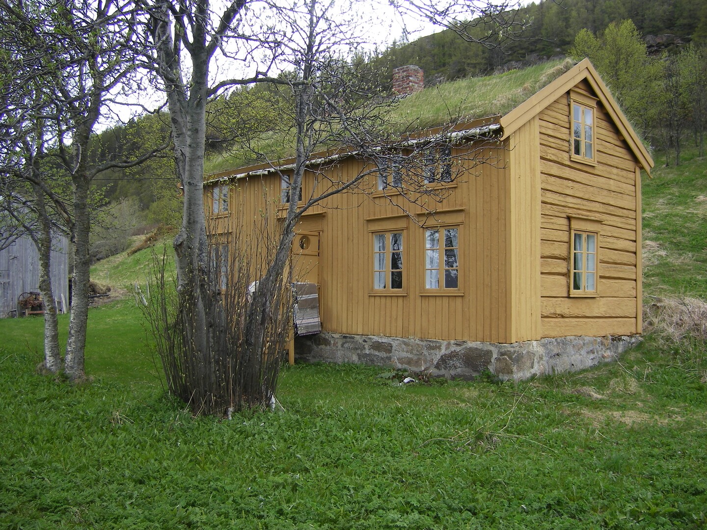
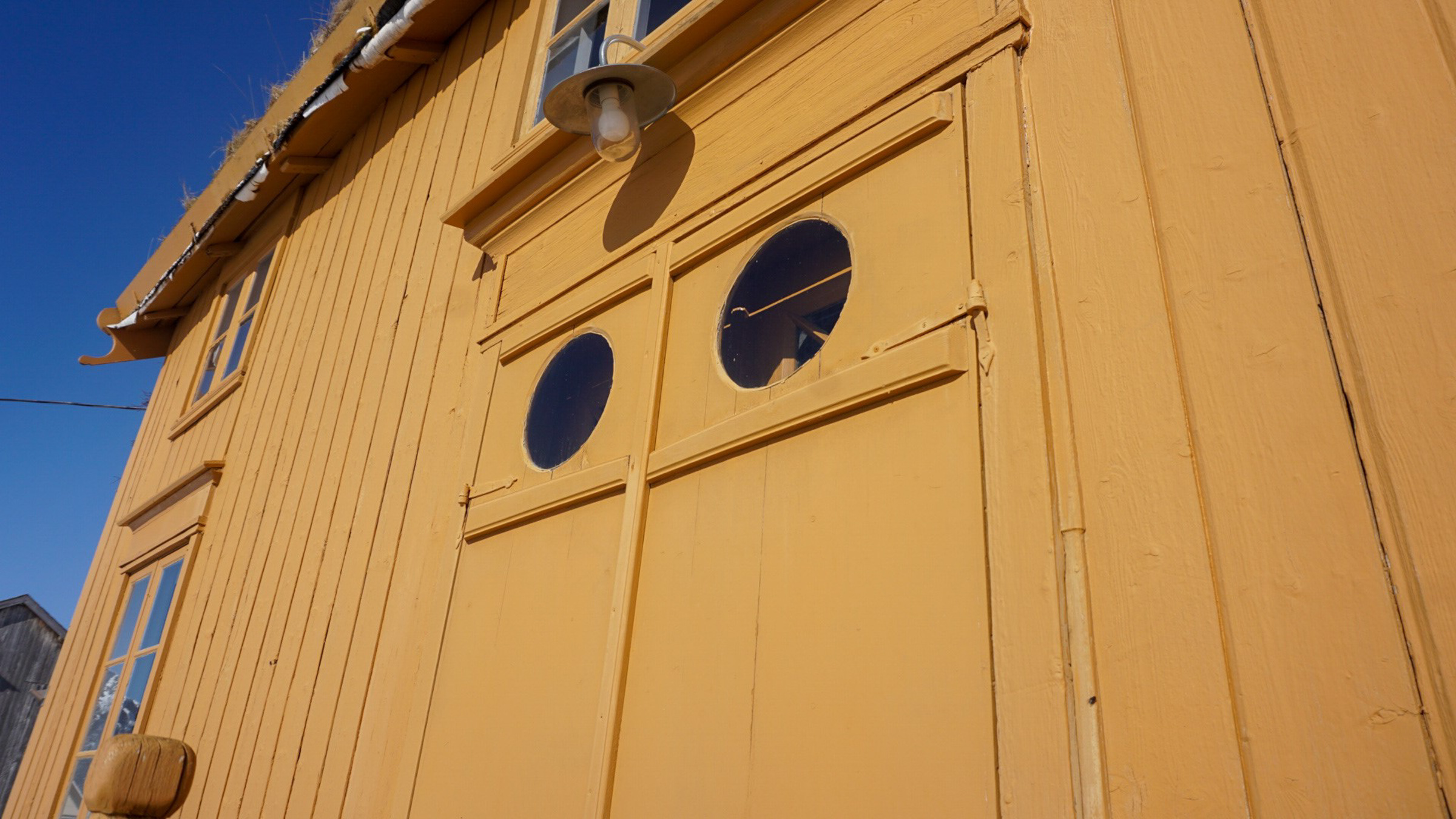
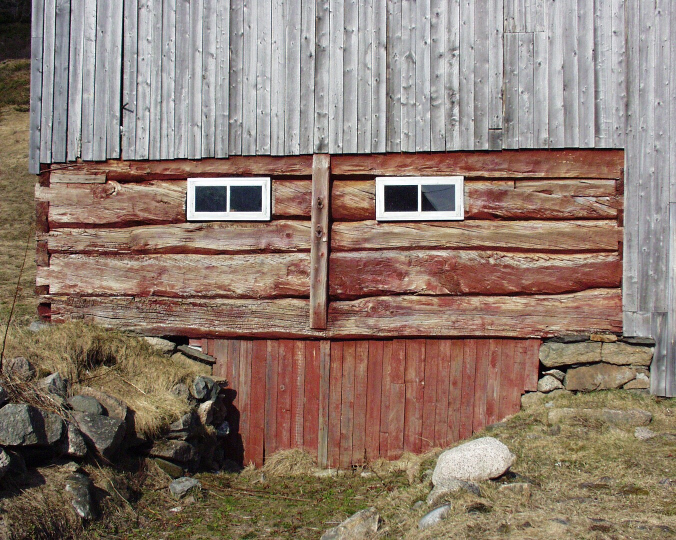
The houses are of various ages in Øvergård. One of the oldest is the Ole Ottesen-stua, or in local dialect Ole Ottesastua, named after the first resident. It was built around 1870, and it is said that the timber came from a Russian freighter which shipwrecked near Bjarkøy. Ole Ottesen and his wife Nikoline lived here with seven children and his parents. The house is beautifully preserved, and although it is usually closed, one can contact the local history association for a little tour, my guide Bjørn shows people around all the time. The chances are best if you contact them ahead. If you have been thoughtful enough to bring coffee in flask, the south-orientated benches outside the barn are a perfect place to enjoy it.
Frihågen is a grave field with a view
A steep hillside behind Øvergård is where people were buried in pre-Christian times. In olden times, one imagined the dead being part of society, so it was important to give them a place with a view in every direction. Here, 12 graves have been located, some of them excavated. Little has been found, though. This is probably due to tomb raiding, graves were often looted shortly after the burial. One can walk around in the uneven terrain with good shoes.
Øvergårdsvika has many visible graves
If you lived on Bjarkøy in the first millennium, chances are you’d be buried in Øvergårdsvika. The graves here are the most easily detectable by the eye, at least if you know what to look for. Little mounds were built along the shore, so that one could see them from the sea. There are also remnants of two rather big boat houses, about 20 metres long, in the area. There is a path down to the sea, and a bench to sit on.
At Sandmælen people got together in the iron age
Not visible to the eye but excavated in the 1950’ies is the Sandmælen ringtun. Ringtun is a phenomenon from the west and north of Norway, a ensemble of houses built in a circle around a central courtyard. They seem not to have been lived in permanently, since there are shallow cultural layers and no trace of farm animals. People seem to have gathered here for parts of the year only. Maybe women and men from around the whole fjord system came here to participate in religious rites. Another possibility is that the warriors of the chieftains gathered here to train warcraft, a kind of temporary military camp.
Bjarkøy has its own railway engine
Bjarkøy even has its own railway, albeit very short. In the early years of the 20th c., iron was discovered in the hillside on the western slope of the central isthmus. A short railway line was built to transport the ore to the port. It was operational during a couple of years, until 1909. Today the railway is mostly gone, but you can still see Bjarkøyloket (“the Bjarkøy engine”) housed under a roof northwest of the port. You can also walk up to the mines themselves, it is an easy walk.
The traces are faint, but it’s all about the feeling
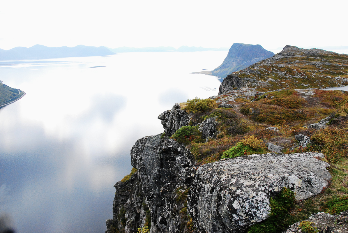
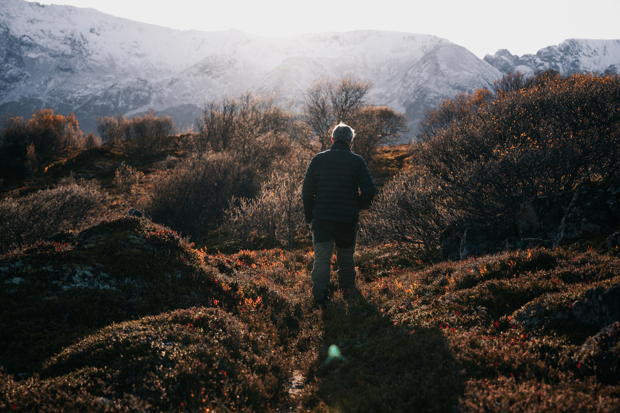
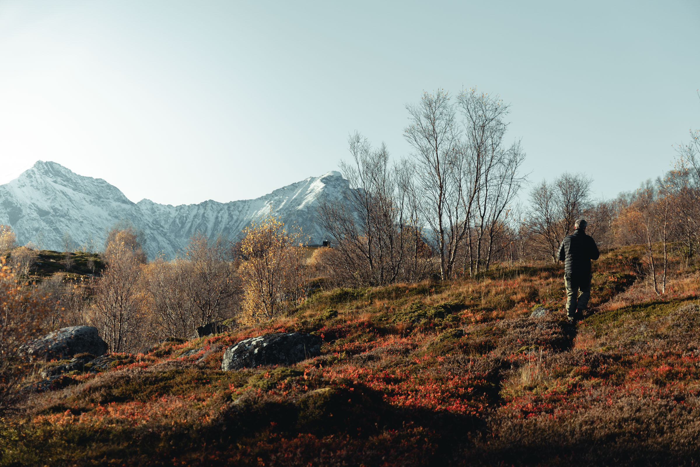
After my tour around historic Bjarkøy I reflected on what I had seen. There was precious little to see from Tore Hund’s era with the naked eye. It takes a trained eye to see old graves, and the boathouse rises a few inches above the ground. However, there landscape on Bjarkøy exhudes history; houses of various ages are found among green fields protected by cliffs and hills. One just has to close one’s eyes to imagine longhouses of turf and Viking ships sailing into the bay. Because you know this was where it all happened.
Spend the day on Bjarkøy – or stay overnight
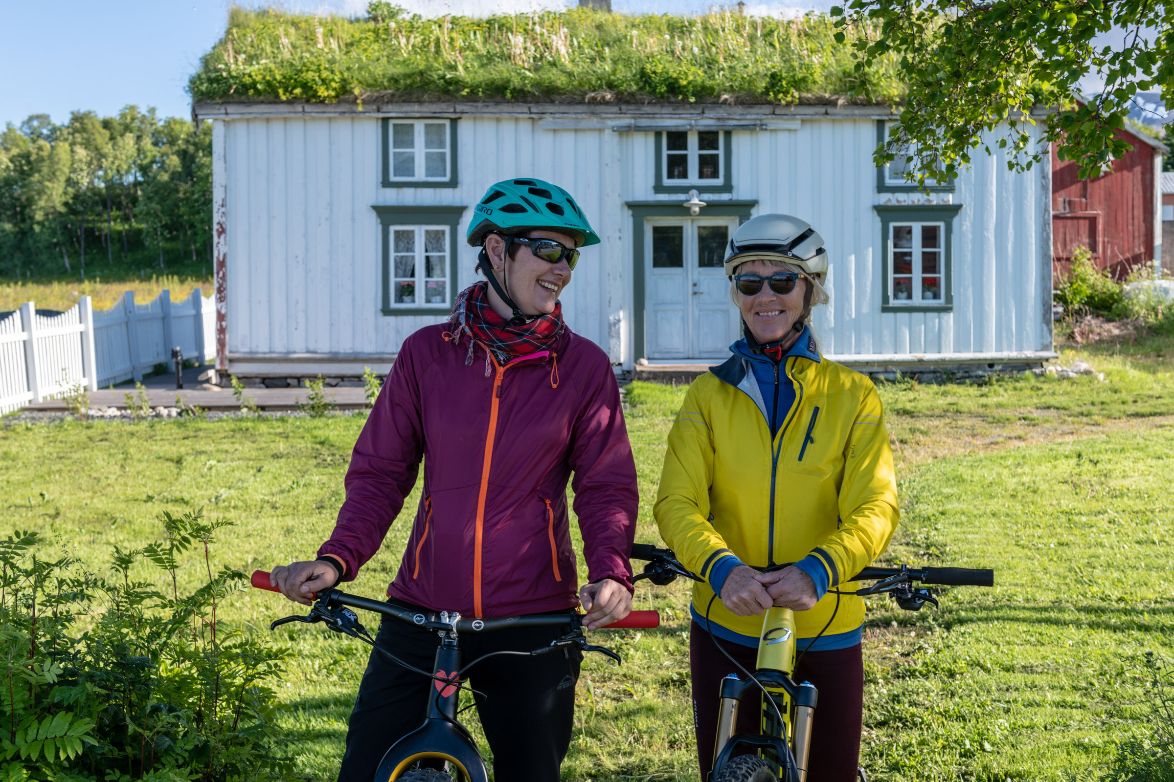
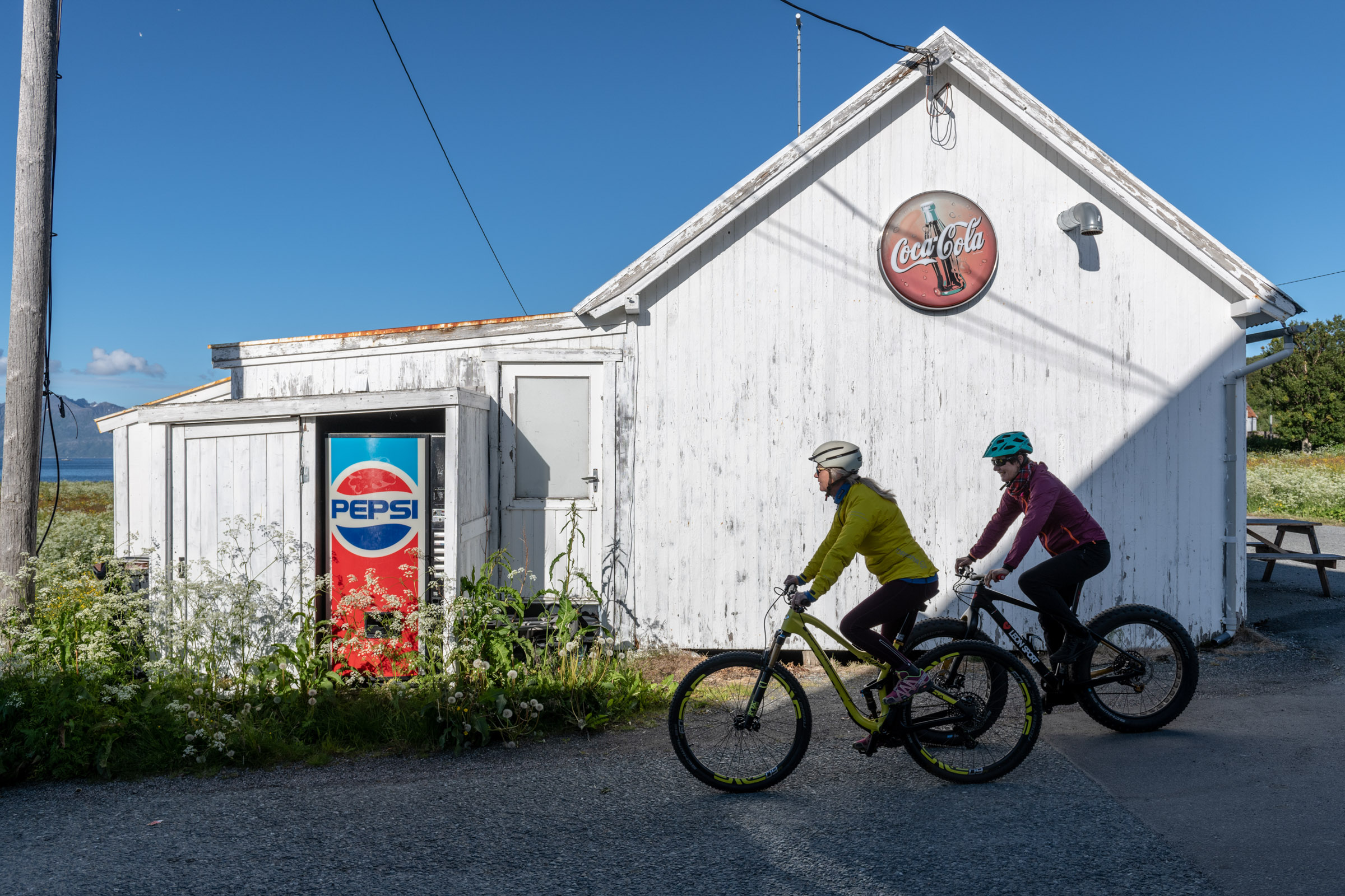
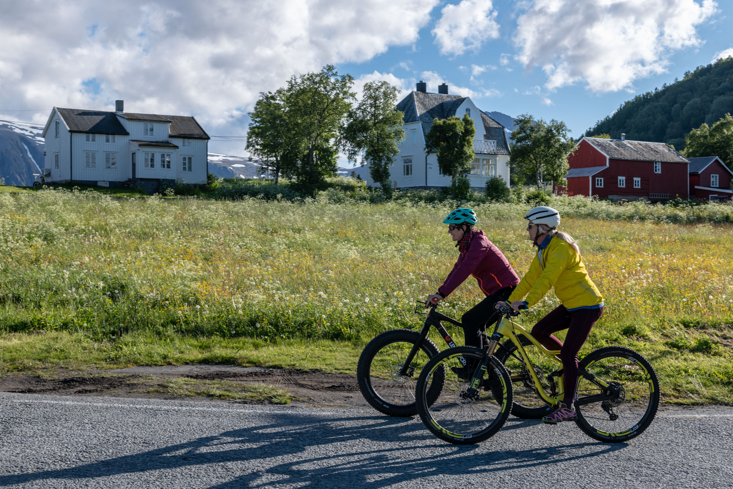
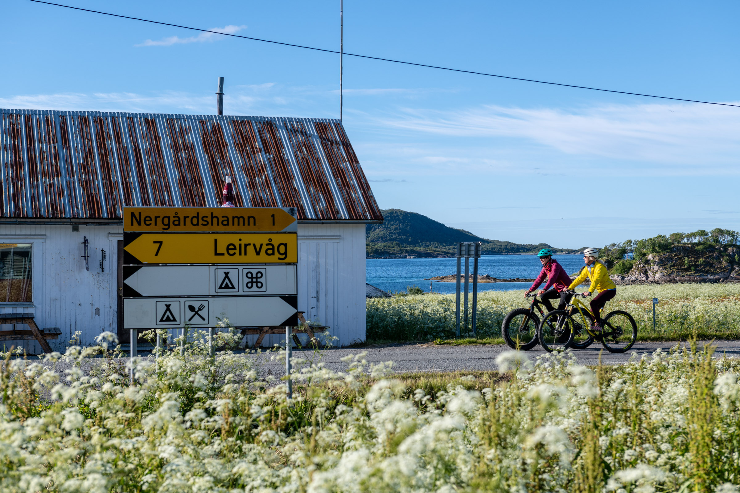
If you’re staying in Harstad, you can easily take a daytrip by catamaran to Bjarkøy. Boats leave in the morning most days; you can spend several hours and then return by boat to Harstad. It can be a good idea to bring a flask of coffee with you. But there is a little shop in the middle of the area of this article. Here there is also a café corner where one can have coffee and a light sandwich lunch, the way Norwegians like it. There are also a couple of simple guest houses and holiday bungalows here, if you want to spend the night here. With a little bit of planning, it could be fun and interesting.
Practical about Bjarkøy
Bjarkøy is part of an archipelago of hundreds of islands, of which 5 are inhabited, north of the city of Harstad, on almost exactly 69 degrees north.
The easiest is to take the catamaran boat from Harstad. It leaves 2-4 times a day with the most departures on Tuesdays and Thursdays. Consult the website of Troms Fylkestrafikk or ask at the tourist information. If you have your own car, you can drive to Bjarkøy. There is a short ferry crossing from Stornes (same island as Harstad) to Bjørnerå (Grytøya island), and then a tunnel from Grytøya to Bjarkøy. The driving distance is some 35 km.
The distance one way is 35 km, and there is a short ferry crossing. Traffic is low. The only obstacle is the tunnel, which might be a bit intimidating. However, bring a reflective vest, have a light on you bike and you should be fine. You could go one way or both ways by catamaran boat.
There are a couple of places to stay. Consult the website of Visit Harstad.