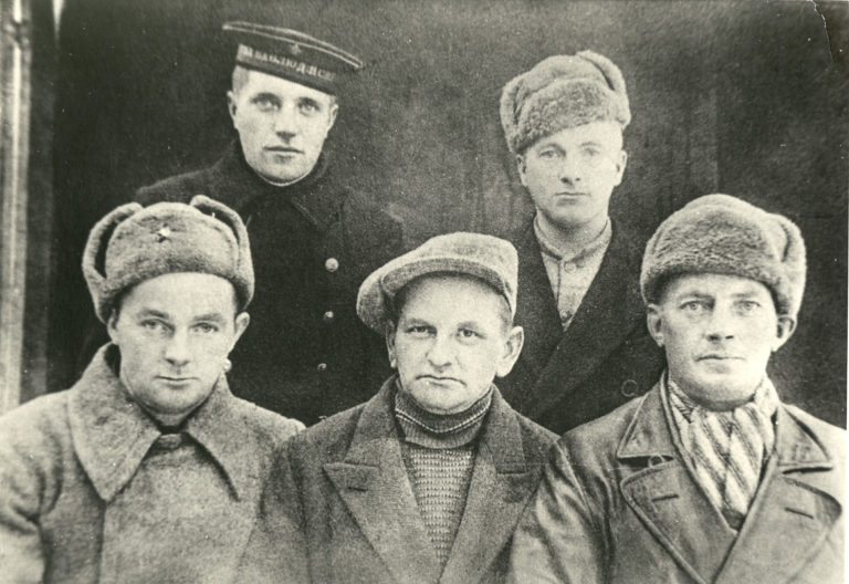
Berlevåg Mannssangforening (men’s choir) made a splash with their film ‘Heftig og enthusiasm’ in 2001. It is possible you’ll be inspired to make your own film too when traveling to Båtsfjord and Berlevåg. Not to mention the unknown places you’ll visit along the route. Here is a small guide for getting the most out of a detour from the E6 this summer.
The trip is a detour from the E6
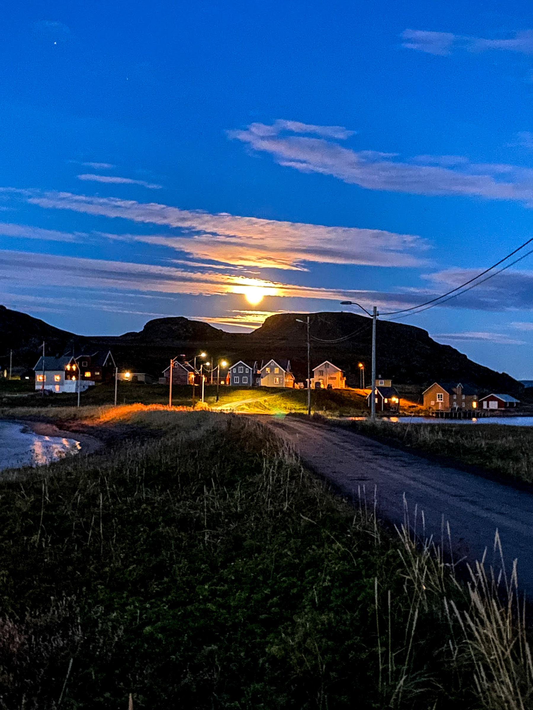
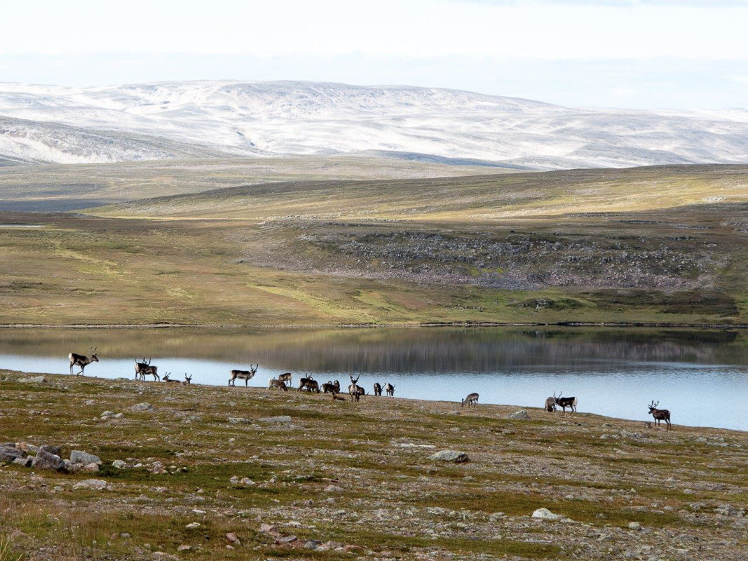
Drivers take the E6 at Tana bridge and follow the river Tana down to the mighty Tana estuary. From here you head north from the mountain forest towards the plains on the Varanger Peninsula. Along the route you will meet reindeer on summer pasture, belonging to reindeer herding families from Tana and Nesseby. After 75 kilometers you come to Gednje, from which you can drive straight ahead towards Båtsfjord and Syltefjord, or to the left towards Berlevåg. Which should you choose? We suggest that you take the opportunity to explore the entire area from Syltefjord in the southeast to Store Molvik in the northwest. We give here an overview from east to west, Syltefjord via Båtsfjord, Kongsfjord and Berlevåg to Store Molvik.
Syltefjordstauran is one of Norway’s largest bird cliffs
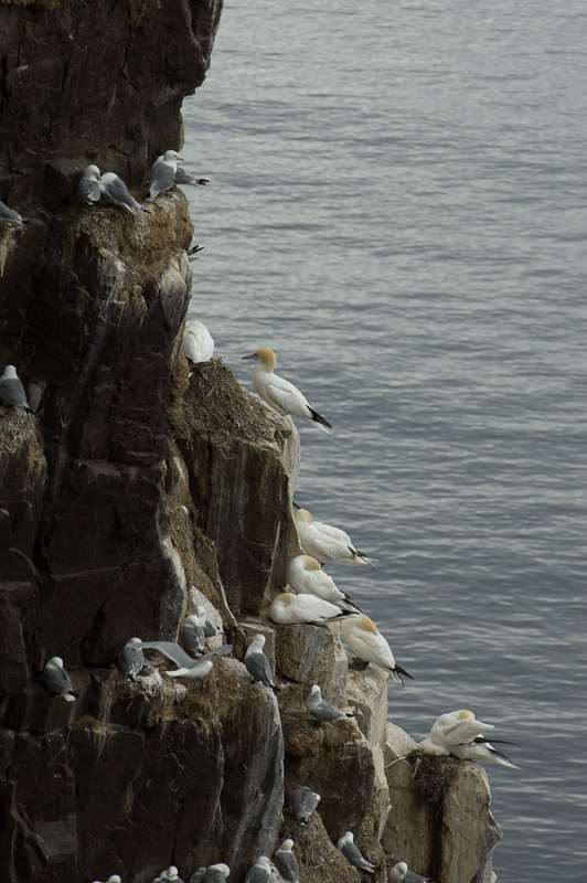
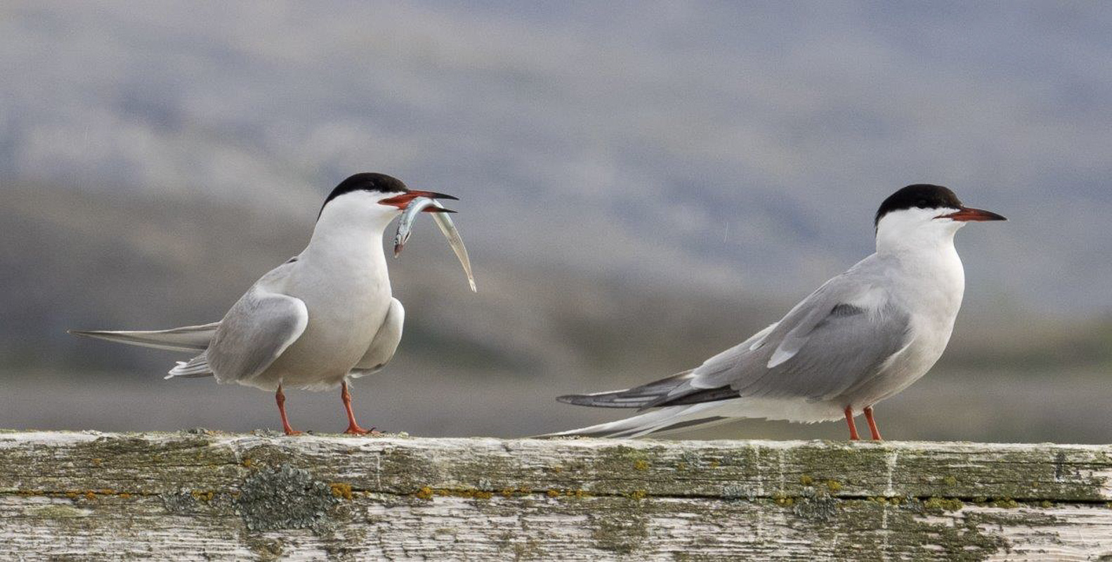
Two hundred metres high and up to three kilometres long, Syltefjordstauran dominates the narrow fjord opening. Here you will find Norway’s largest kittiwake colony, this three-toed small gull species that makes a serious racket. The auks are also represented by guillemots, arctic guillemots, razor bills, puffins and black guillemots. Newcomers along this coastline are a number of large sea otters, which are the size of geese. There is the possibility for boat trips or boat rental both from Nordfjord and from Båtsfjord.
In Eastern Finnmark, damage from the war was not 100%
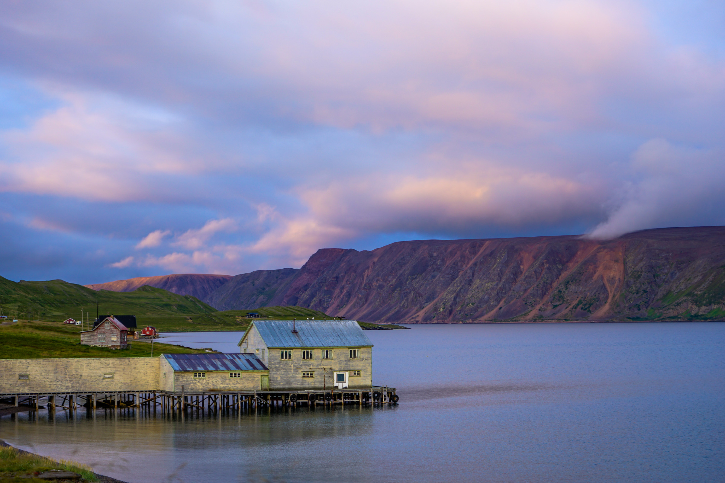
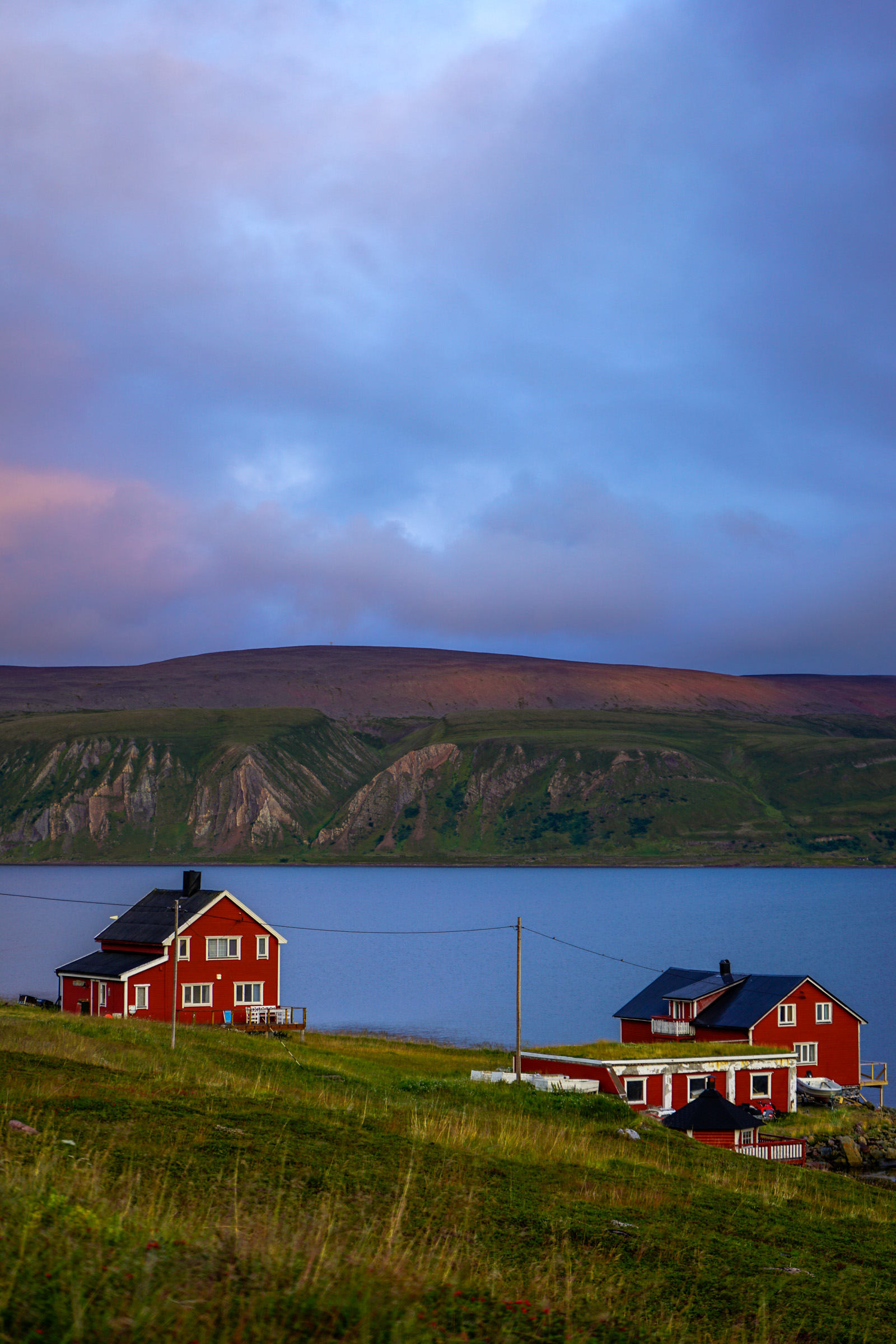
Finnmark was mostly burned and destroyed at the end of World War II. Around 75,000 residents were forcibly evacuated or fled, and the vast majority lost everything they owned. On the Varanger Peninsula however, the German withdrawal took place very quickly, and the Germans did not manage to destroy everything. Despite this, Berlevåg was completely destroyed. Smaller communities such as Kongsfjord and Syltefjord on the other hand survived the war, therefore retaining their classic Finnmarkian pre-war architecture.
Nordfjord wakes up during the summertime
Nordfjord is a small village that was inhabited until 1989. However, the area is far from a ghost town as many of the old houses are used as holiday homes. In its time, Syltefjord had the highest postcode in Norway, and the post office building can still be seen. During the summer months, the old school runs a café with the possibility to buy fishing licenses. There is also simple accommodation, a small local history collection and a second-hand shop. If you want to take a look into the old chapel, which originally stood on Makkaur, just ask at the summer cafe.
Ytre Syltefjord is the remains of ancient coastal history
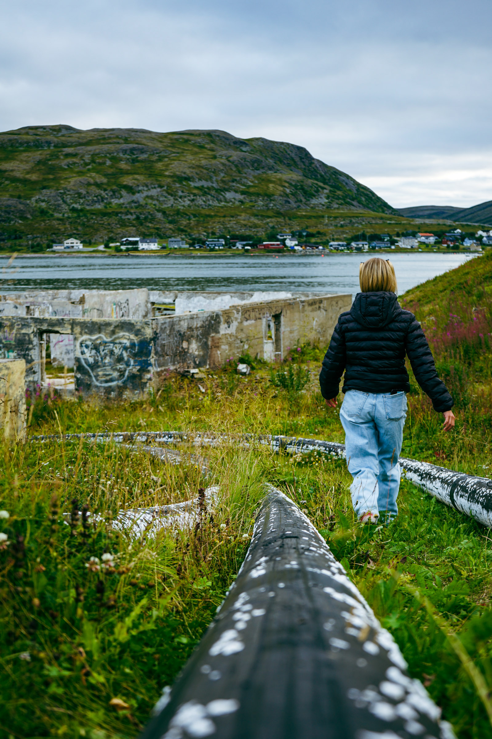
A nice walk from Nordfjord is the path to Ytre Syltefjord. Ytre Syltefjord once had several fish farms, a fish oil factory, bakeries, youth teams, steamboat visits and telegraph stations. The modernization and new requirements for transport led to Ytre Syltefjord being overtaken by time, and the village was vacated in 1946. However, you still see tufts, walls and roads which mark this once important fishing village.
Båtsfjord is the fishing capital
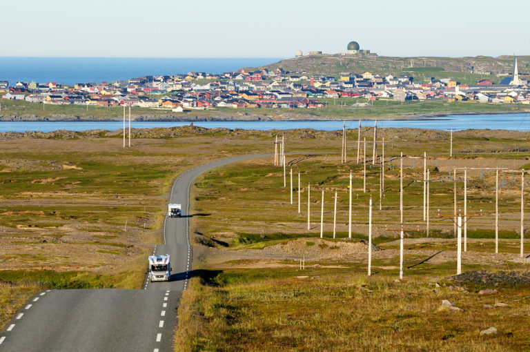
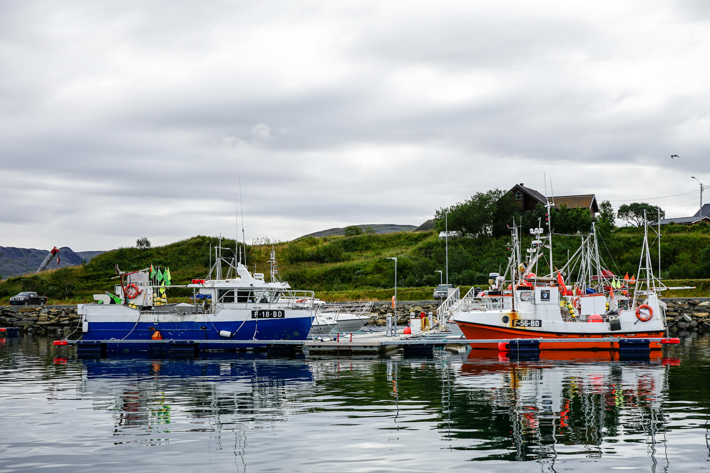
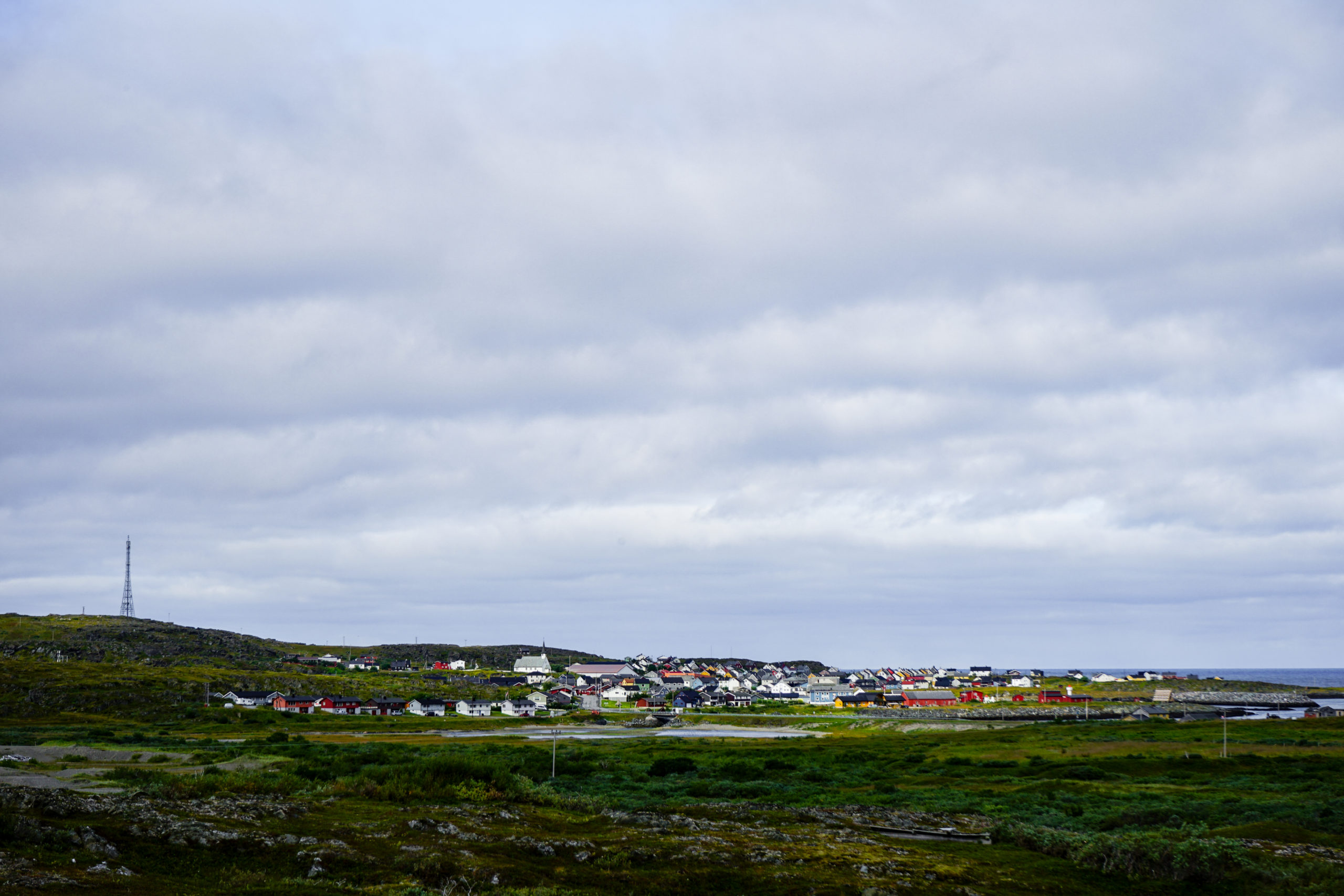
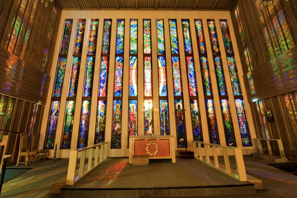
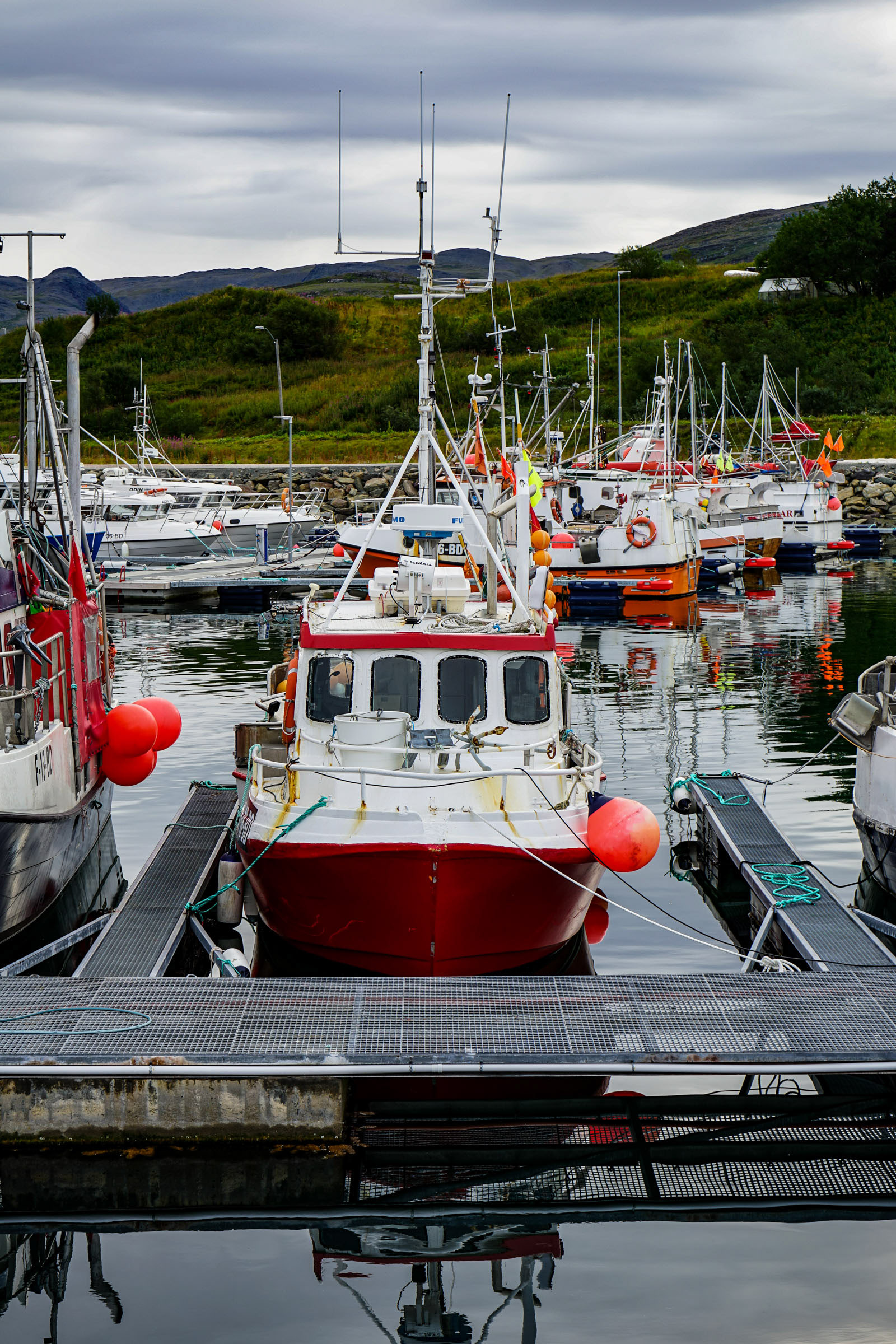
It is Båtsfjord where the 20th-21st Century fishing boom took place. This fishing village developed in the post-war period into one of the most dominant in Finnmark. The village has around 2200 inhabitants, large fishing facilities and a busy atmosphere. On the hillside above the village is the 241 meter high mast, flanked by 80 meter high wind turbines. Båtsfjord Church is a fifty-year-old modern church with a colourful, large glass mosaic, which has been described as one of the most distinctive modern churches in Finnmark. Båtsfjord is most active at the turn of the month July-August. During which the whole village comes together to prepare concerts, parties and fun. Båtsfjord also has a good range of accommodation and restaurants.
The walks from Båtsfjord are easy and beautiful
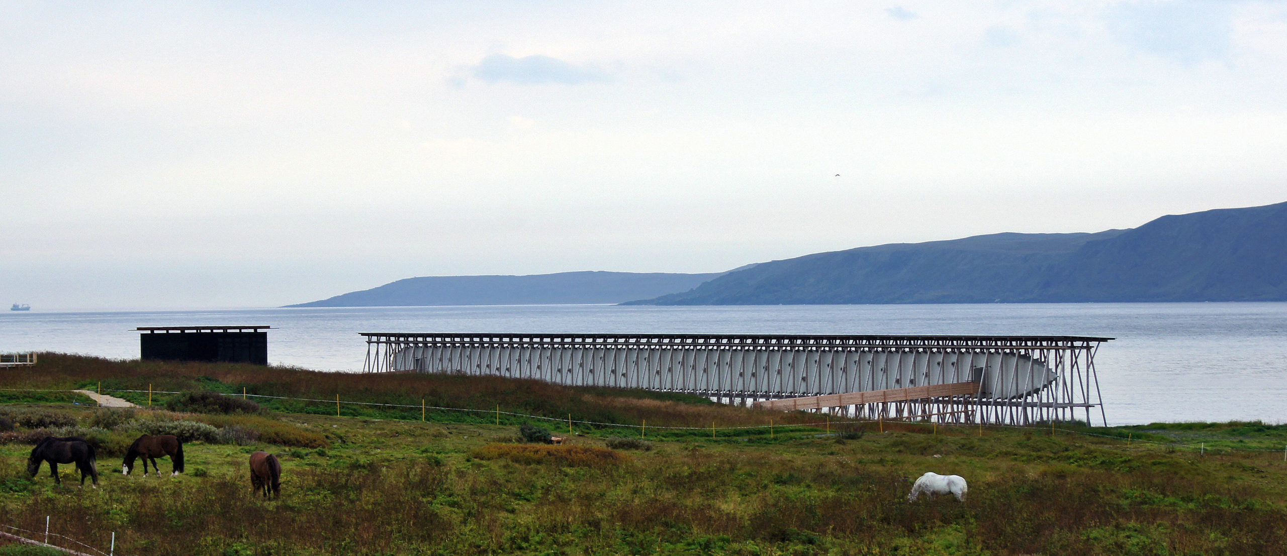
Finnmark’s landscape is fairly barren, but this makes the terrain easy to walk on. From Båtsfjord there are many nice hiking routes of various lengths. The easiest journey is to walk half an hour to the bird hide at Skrovnes. This bird hide, designed by the Vardø architects ‘Biotope’, ensure that you can watch birds without disturbing them. Of course, you can also use it as a resting place, and enjoy the simple architectural design.
Kongsfjord survived the war
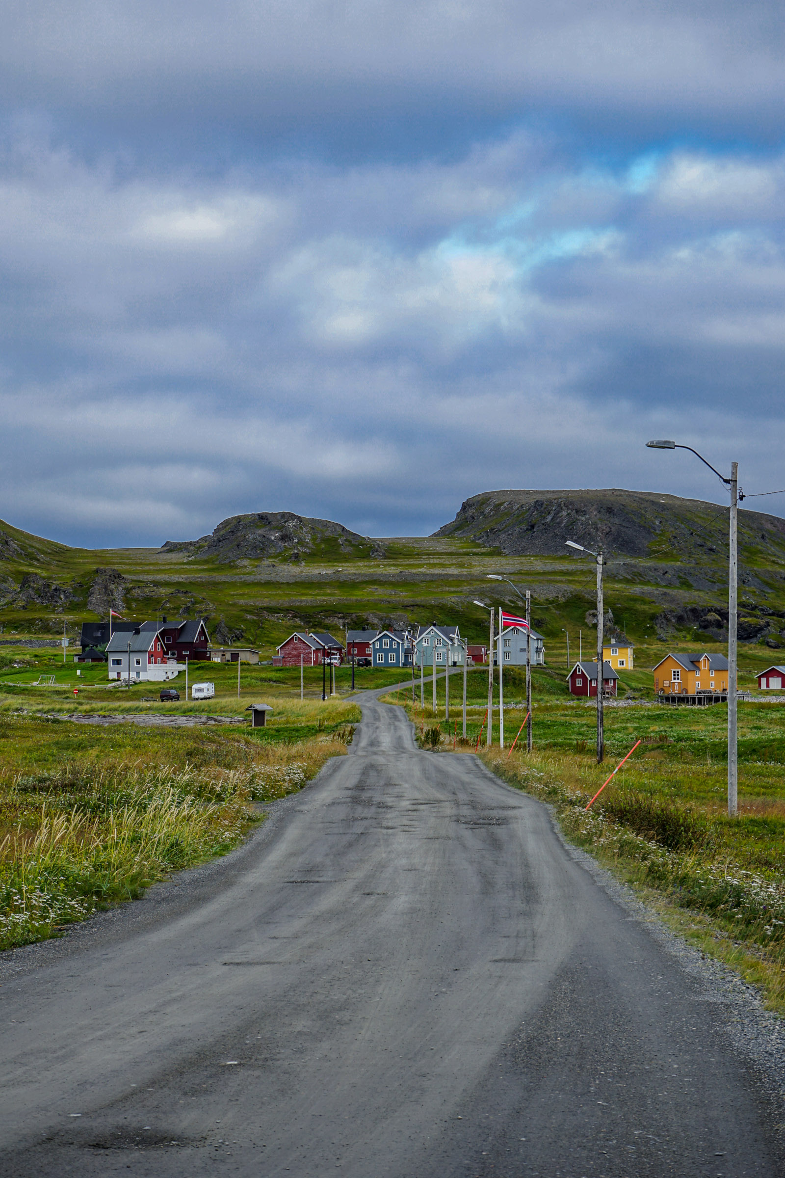
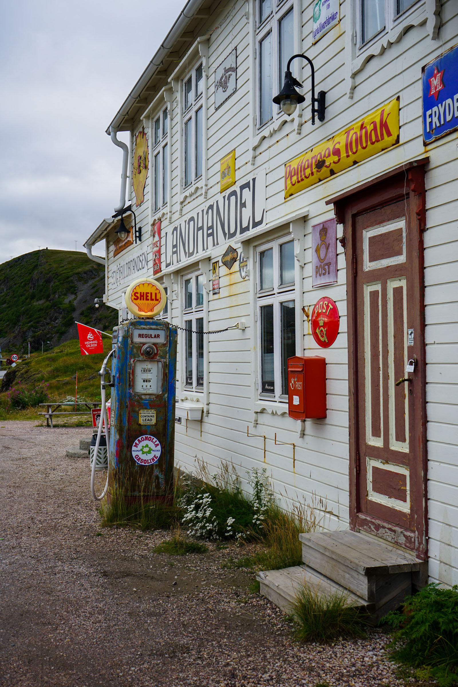
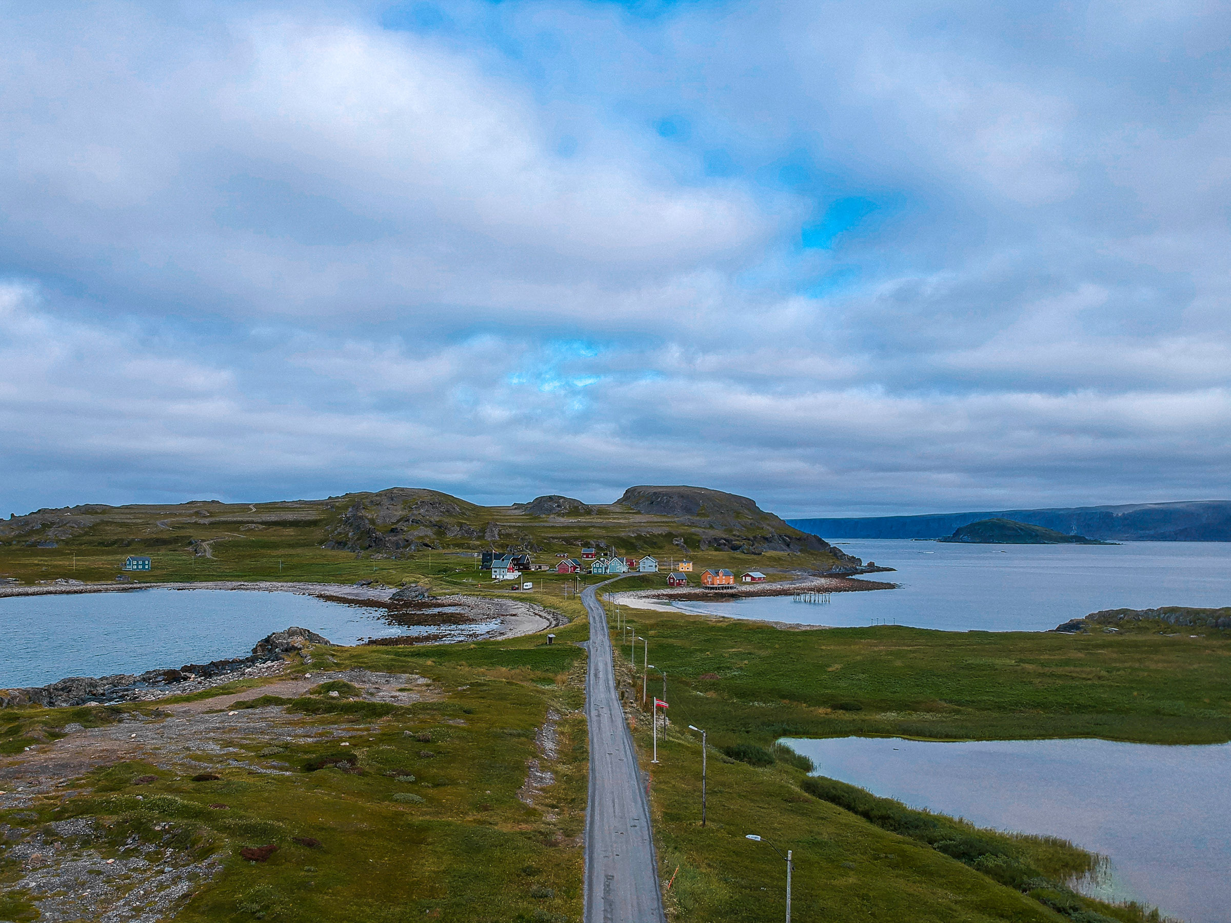
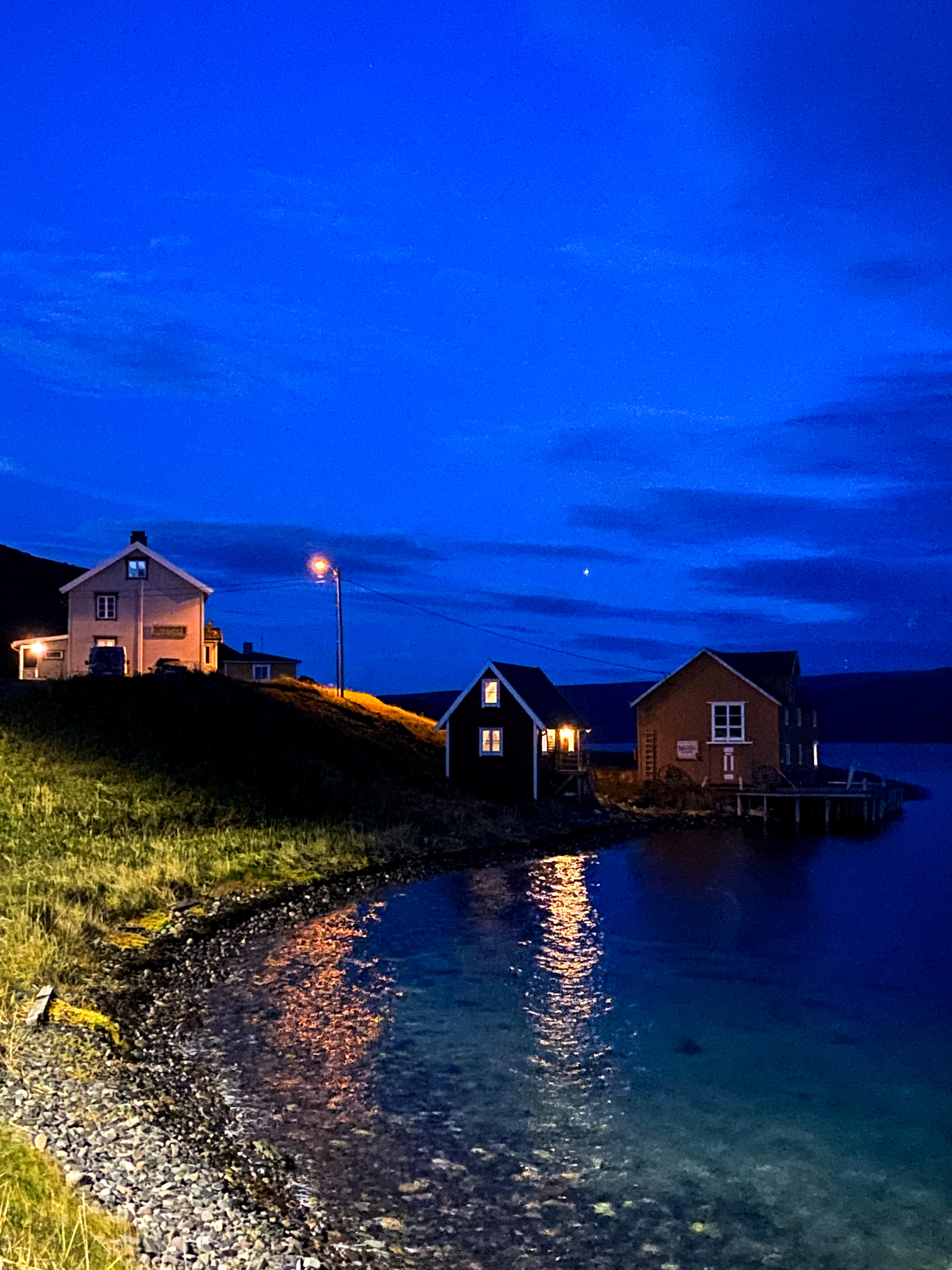
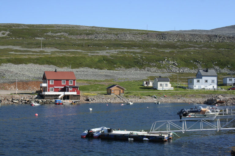
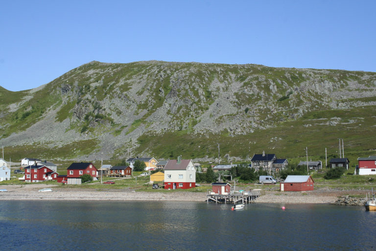
The only place around Båtsfjord and Berlevåg that is still permanently inhabited along county road 890, is the small fishing village of Kongsfjord. Here they completely escaped the destruction of war, and all you’ll find is a dense cluster of several old houses. Photographers love the colourful wooden buildings facing the fine sandy beach compared to the barren surroundings. The centre of all activity is the shop, where you can also drink coffee. There is also a guesthouse in Veines with both accommodation and dining just a short detour past Kongsfjord.
From Kongsfjord you can explore history and wildlife
If you walk one kilometre out to Storvika from Kongsfjord, you will see Sami Iron Age tombs. Among the small islets just out to sea there is a rich bird life, and you often see seals laying in all positions. Another hiking destination is the Veines Peninsula, where the remains of a German coastal fort are located. The bird hide at Veines is located in the middle of very rugged nature, but offers far reaching views. It is designed by the renowned ‘Biotope’ architects.
The Arctic Ocean road is flanked by naked geology
The road between Kongsfjord and Berlevåg follows the outer coast along the Barents Sea. It winds its way past headlands and protrusions and around fine sand beaches. Without forest blocking the views, the rock is completely exposed, meaning you can see the slate as pancake stacks and the sandstone lie layer upon layer. In the bays, the shorelines from the uplifting land after the ice age can clearly be seen. The geologist is in heaven here, while the rest of us study the rawness with a mixture of joy and amazement. A stop along the road is Konjakkbakken, which is a gravel road up to a view point over the entire coastline and the Veines Peninsula.
Kjølnes lighthouse is easy to visit, while a visit to Makkaur lighthouse needs some planning
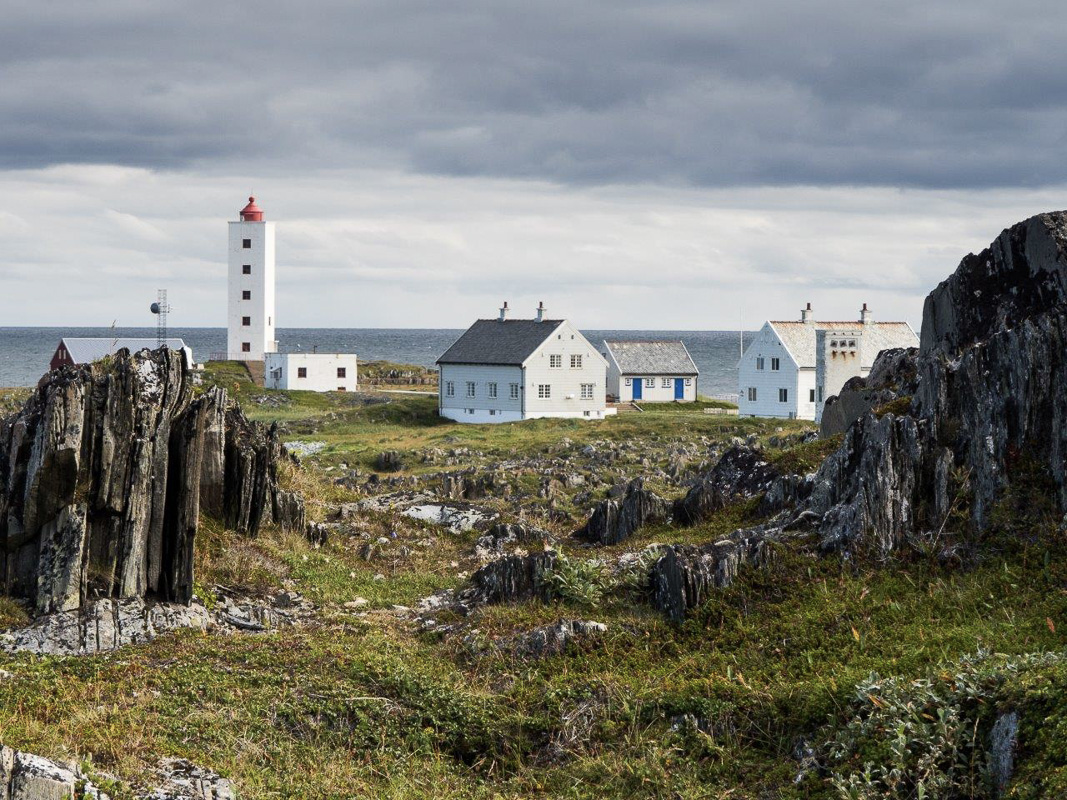
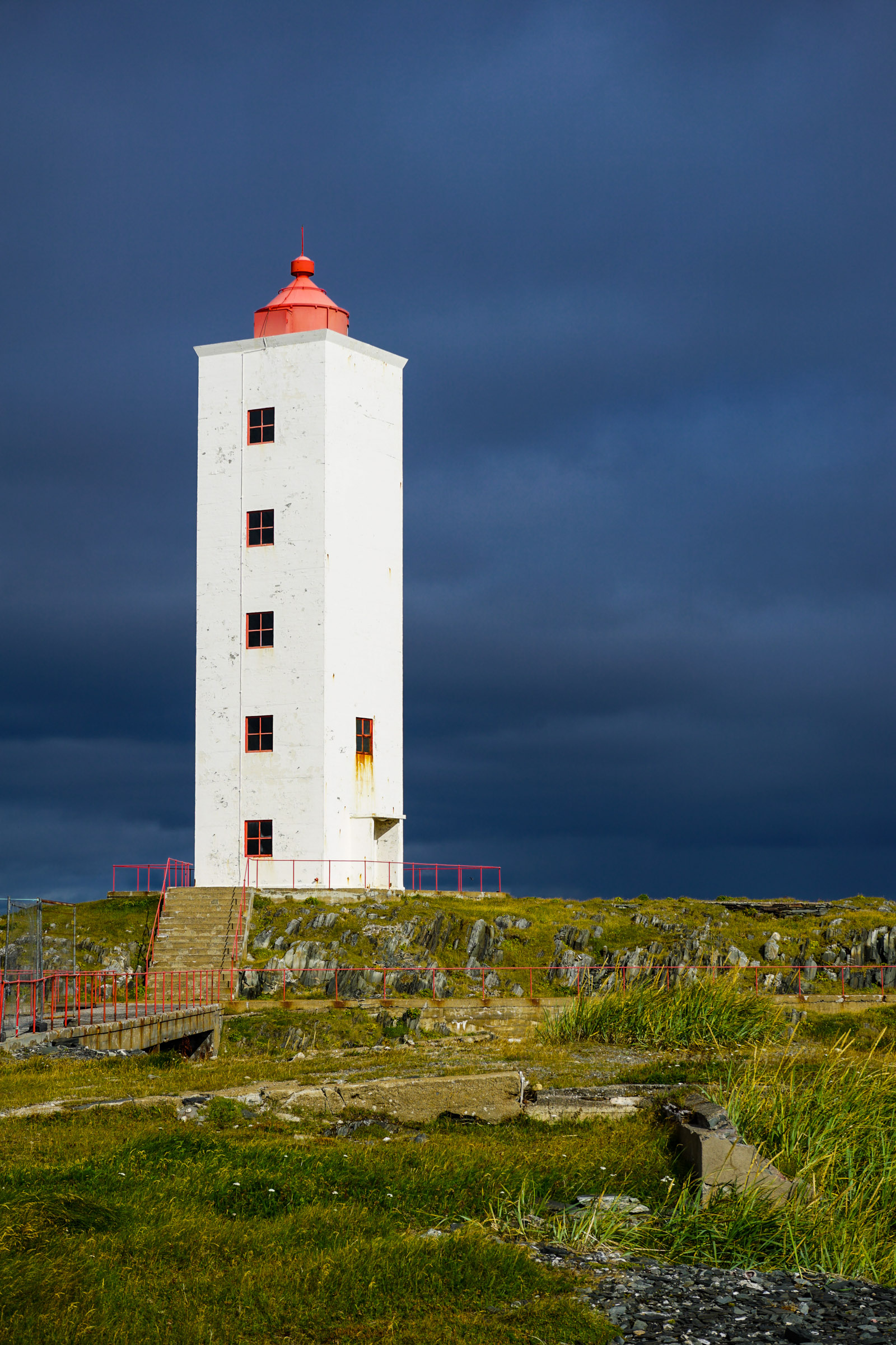
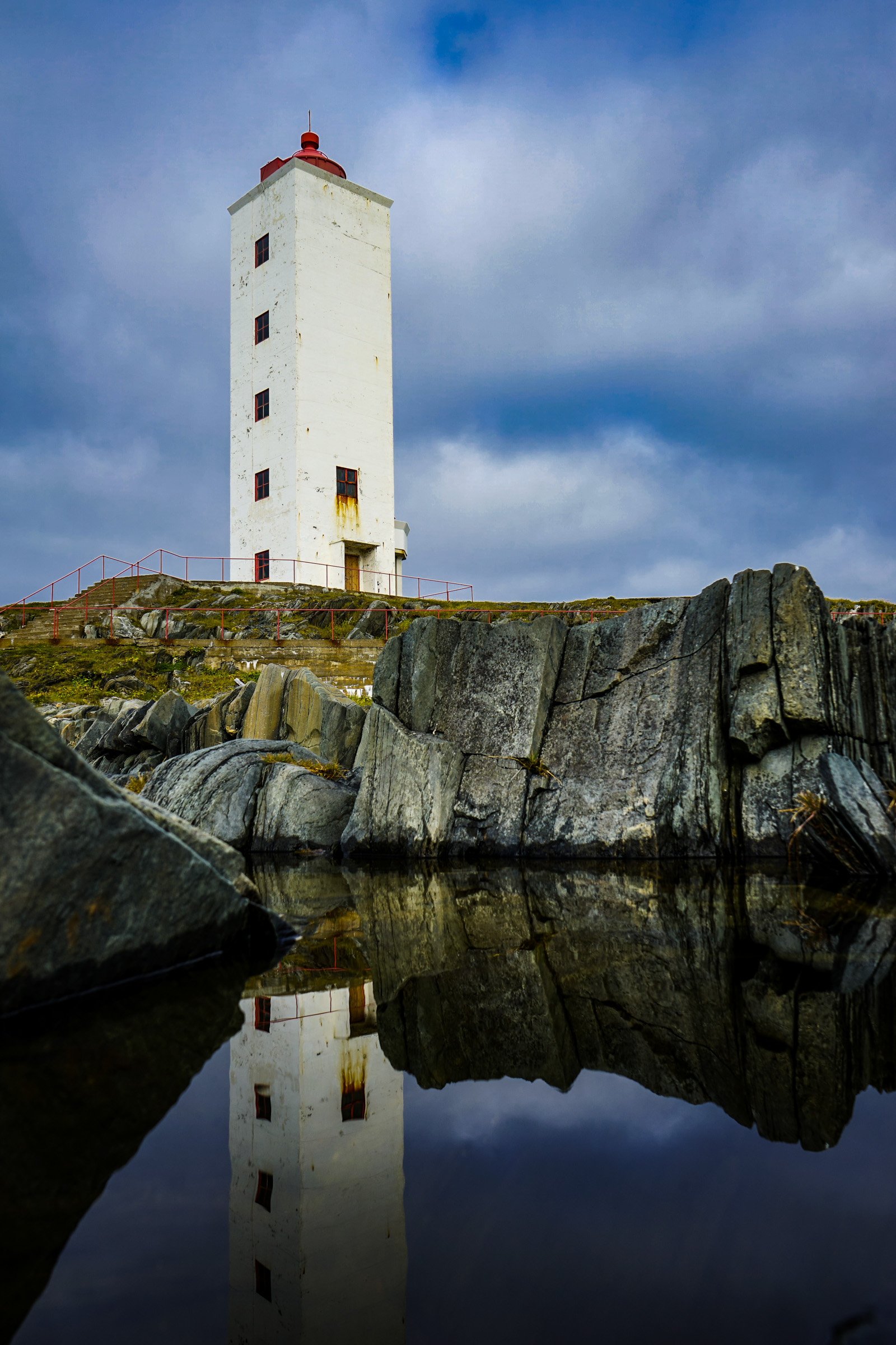
Shipping along this weather-hardened coastline is guarded by two lighthouses, both of which were rebuilt after the war. Kjølnes lighthouse by Berlevåg has a monumental square tower. Makkaur lighthouse on the other hand, is smaller, but could make you think you are on a Greek island when sun shines on its white exterior. Kjølnes lighthouse is located along the road to Berlevåg and can be visited. Makkaur, on the other hand, is a longer hike in roadless terrain, and is best done from Syltefjord.
The piers in Berlevåg have a stormy history
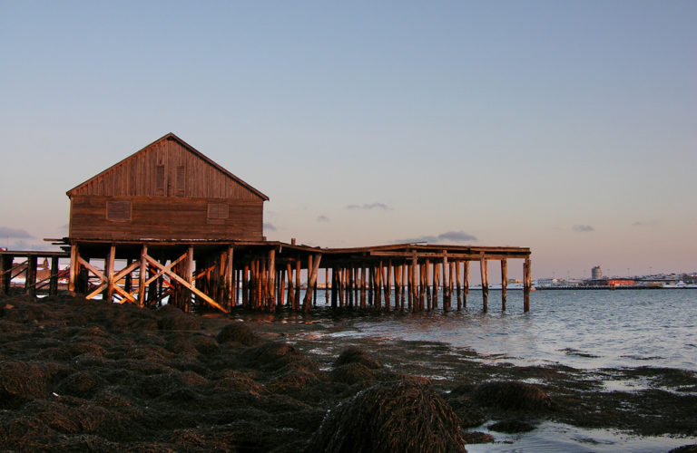
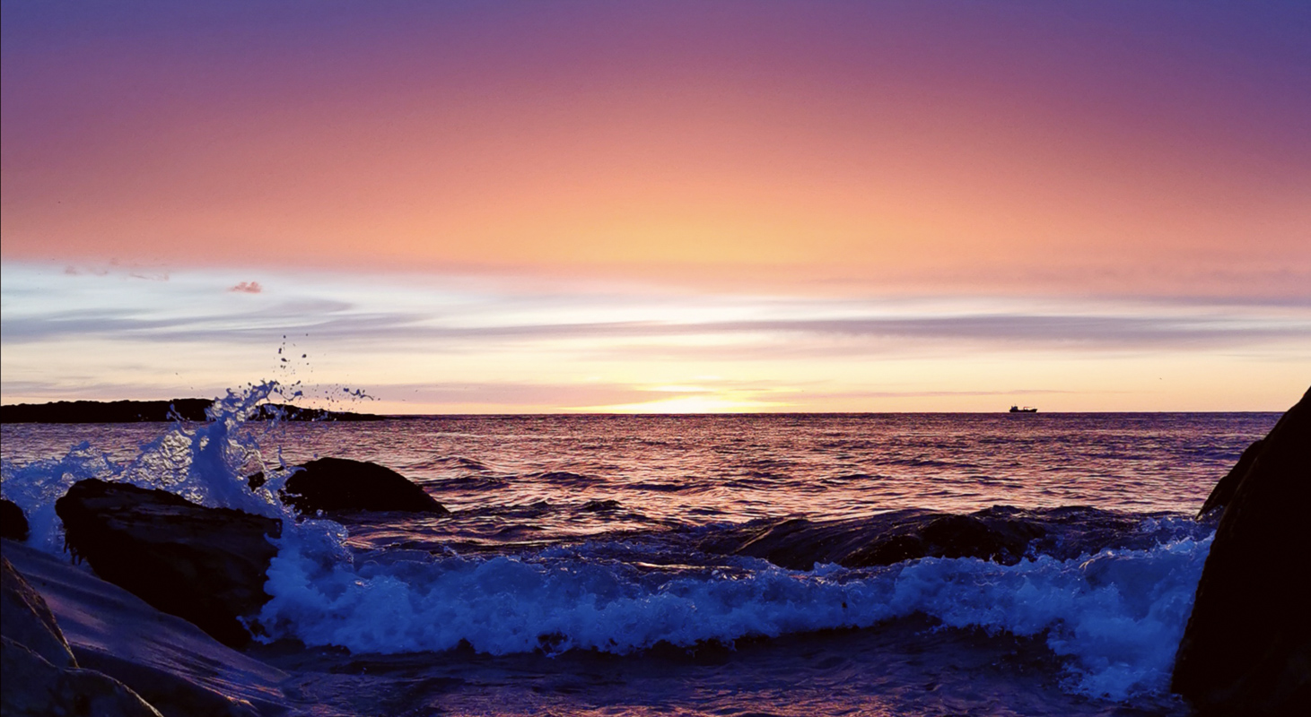
Berlevåg is completely exposed to the Barents Sea. Crew on Hurtigruta call this ‘the East Sea’, followed by a sigh. Countless times, large storms have swept over the harbour and smashed fishing boats and piers into firewood. As early as 1913, the first pier was built, but it was not strong enough to withstand the worst storms. In 1959, half of the Svartoksmoloen (Stone Sea defences) were destroyed in a raging winter storm. The Hurtigruten couldn’t dock in Berlevåg, instead the “barge” otherwise know as the expedition boat, went out with people, mail and cargo, meeting the Hurtigruten in open sea. Loading and unloading of goods and mail while passengers boarded by ladders along the Hurtigruten side, was very risky.
Tetrapods have solved the port problem
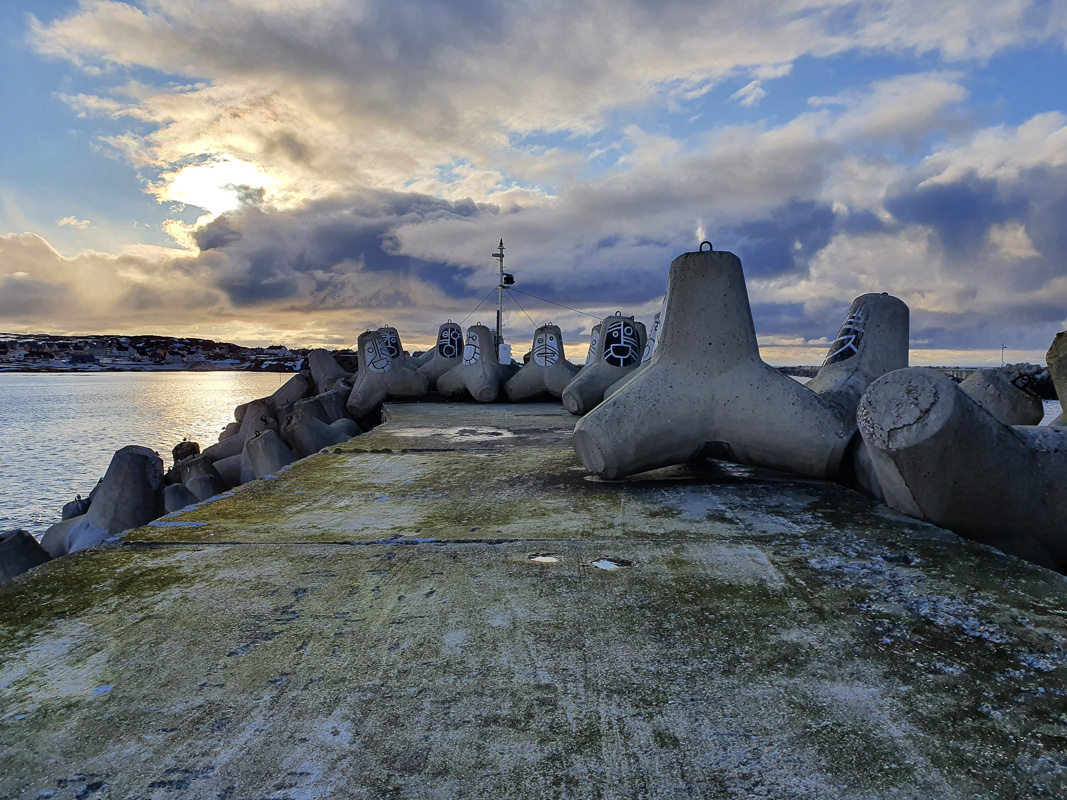
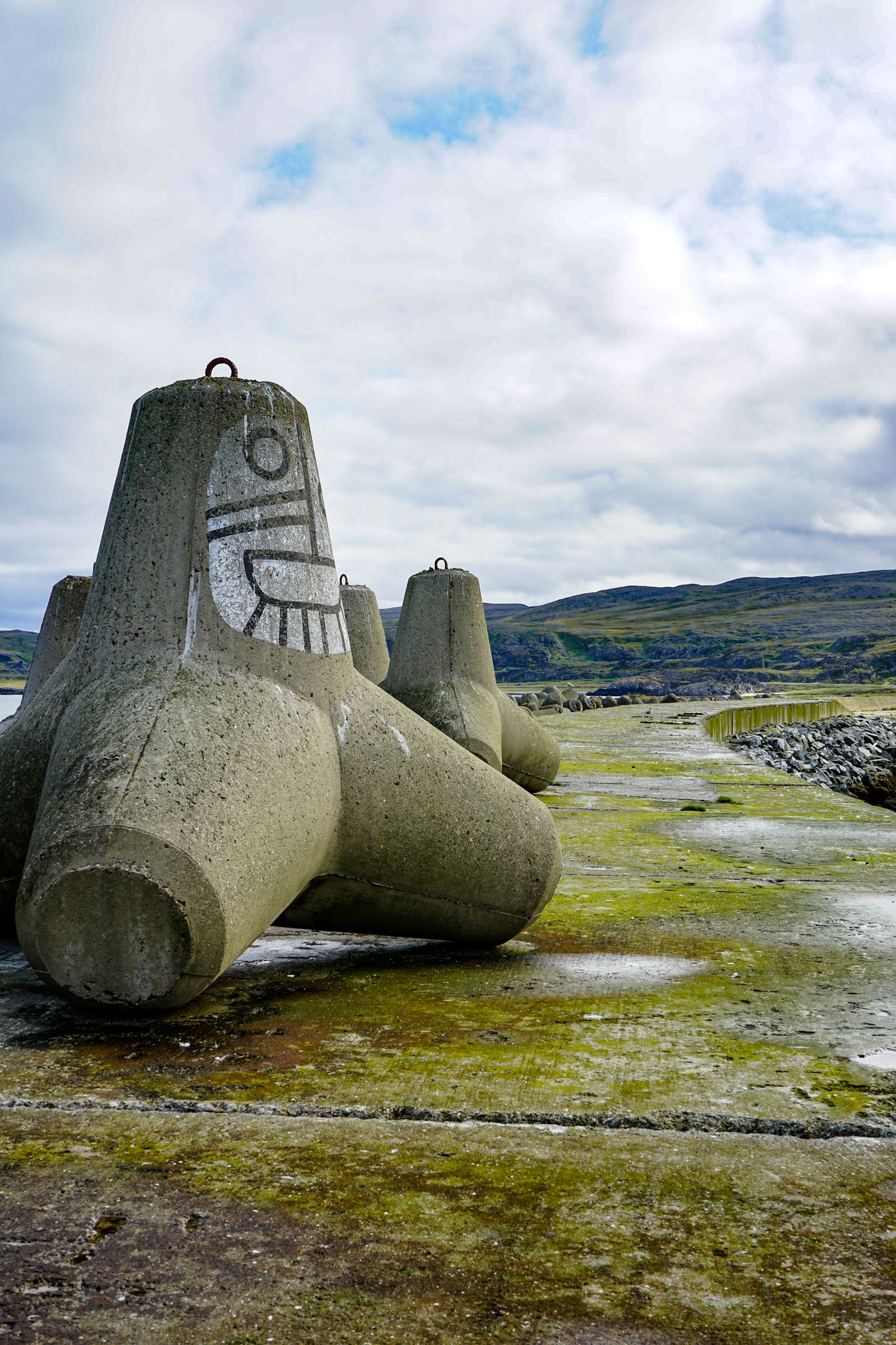
The solution to the port problem was found by a French patented structure named ‘tetrapods’. These concrete structure with four arms are laid as a protective cover on the ocean facing side of the pier. When the storms are raging, the tetrapods become entangled in each other and become stronger. In the early 1970s, the harbour was secured with two powerful jetties, and a deep-water quay could be built. Since 1975, Hurtigruta has docked at the quay in Berlevåg. Thus, the tourists missed an exciting spectacle in the open ocean, but the Berlevåg residents drew a sigh of relief.
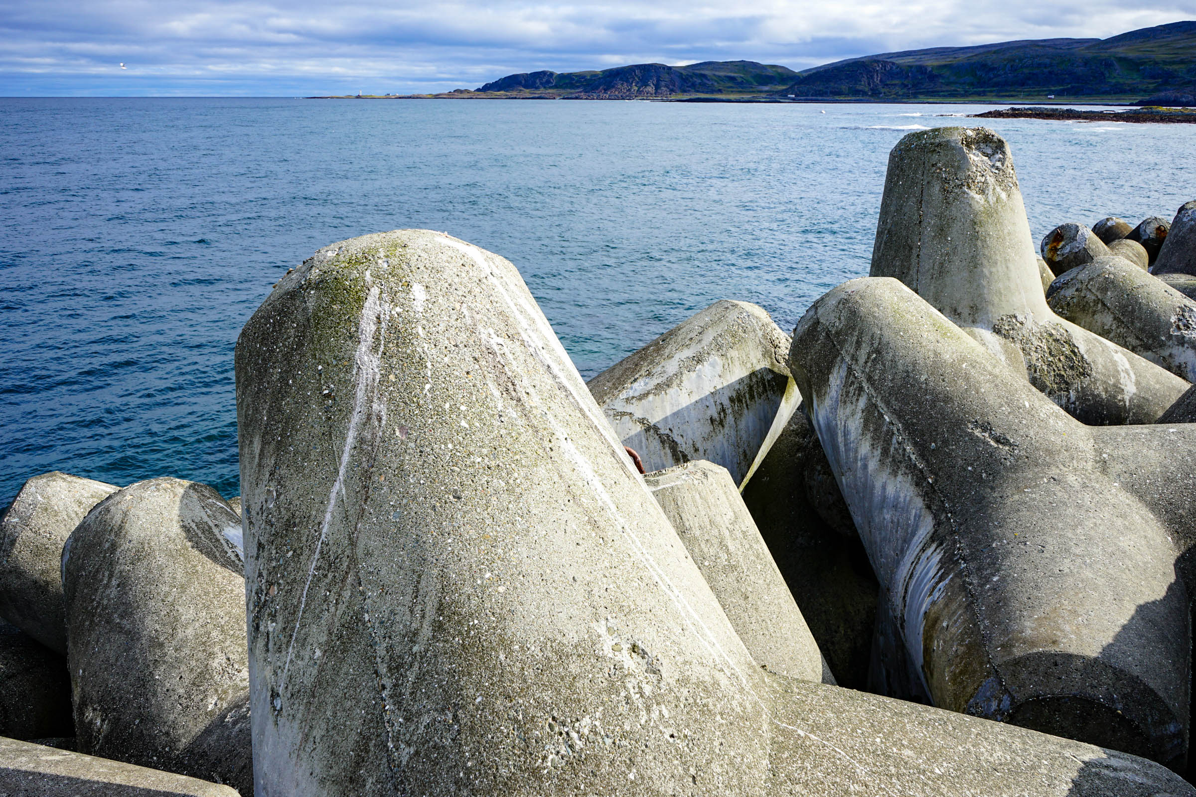
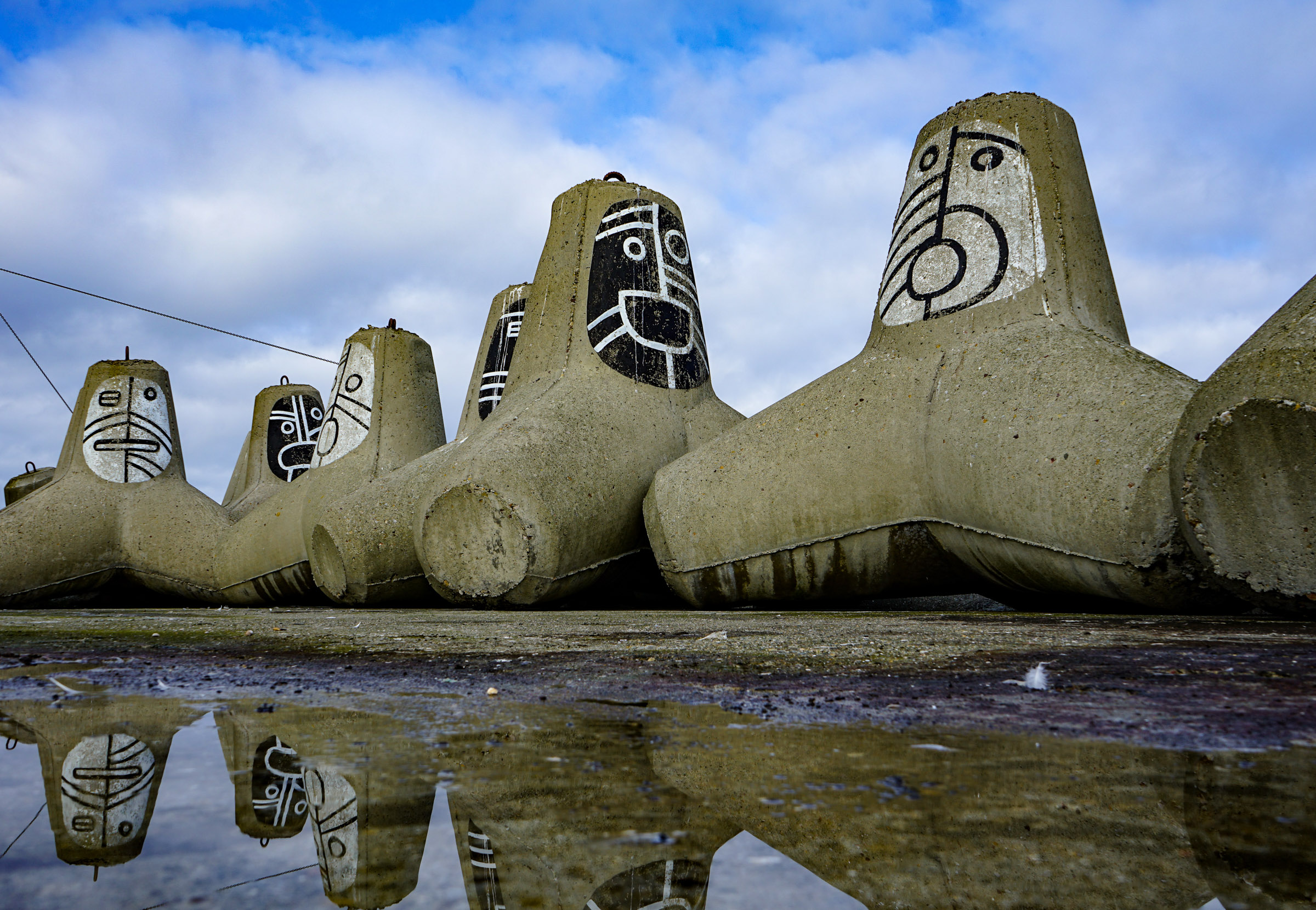
The Harbour Museum in Berlevåg exhibits the harbour’s history
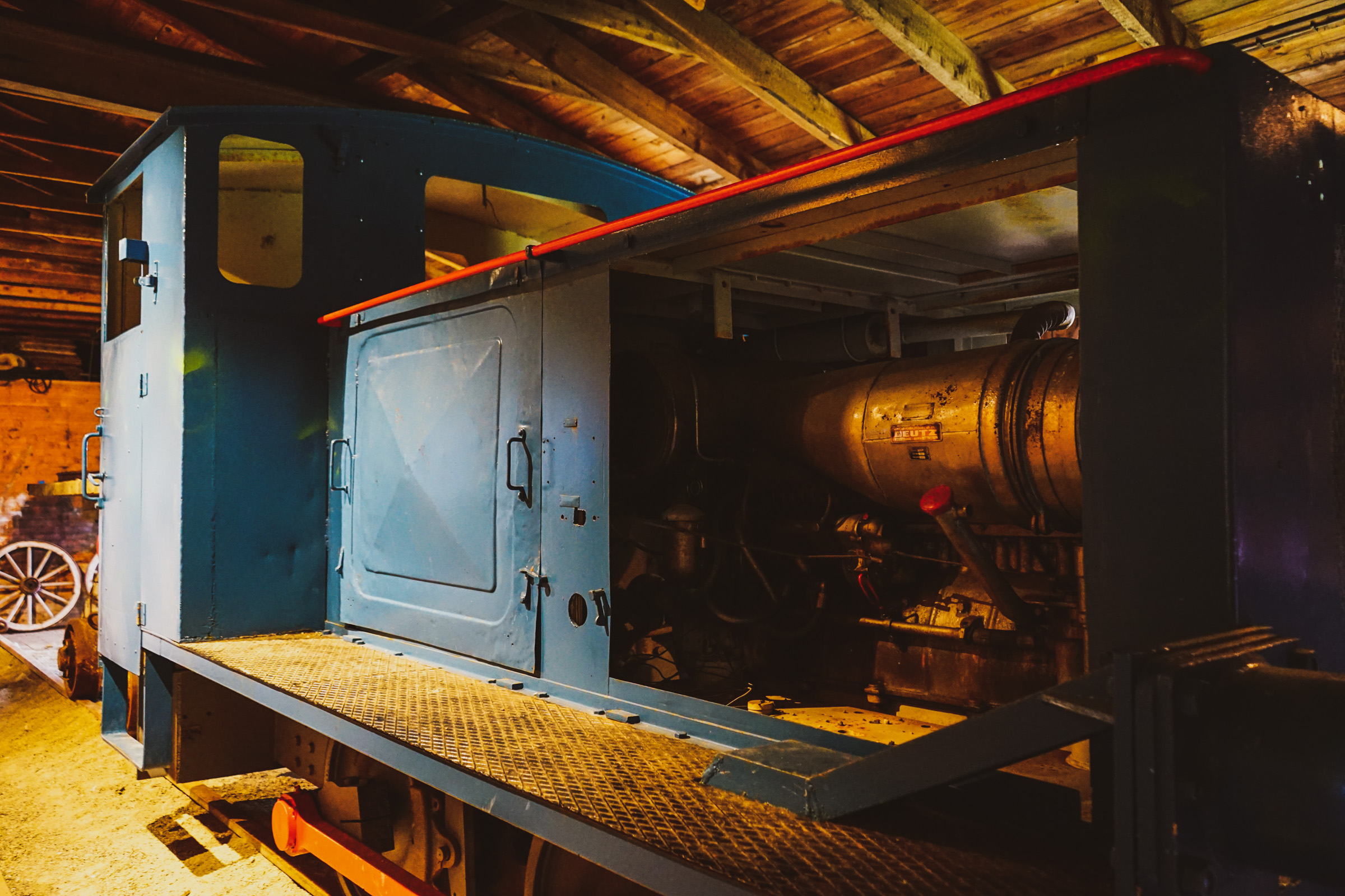
The whole story about the piers and quays, which in turn is the story of how Berlevåg fought to continue to exist, is exhibited at Berlevåg Harbour Museum. Here you can also follow the history of the village from the wooden houses pre war houses to the post war reconstruction in the fifties. However the gem for all coastal culture enthusiasts is the old hurtigruten docking barge. Named ‘Pramma’, this solid, open wooden boat is exhibited with as much pride as the Fram or Viking ships. No wonder, because as a cultural monument, the barge is just as important for the Berlevåg residents.
The cultural heritage trail takes you around the history of the pier
The breakwater theme defines Berlevåg in many ways. You can follow a 4 kilometer long cultural heritage trail with fifteen stops along the route with information. The work even involved a railway line to transport the stone, and there is a small guide you can take with you to help you along the way. An easy and straightforward trip out on Revnesmoloen is also a nice thing to do.
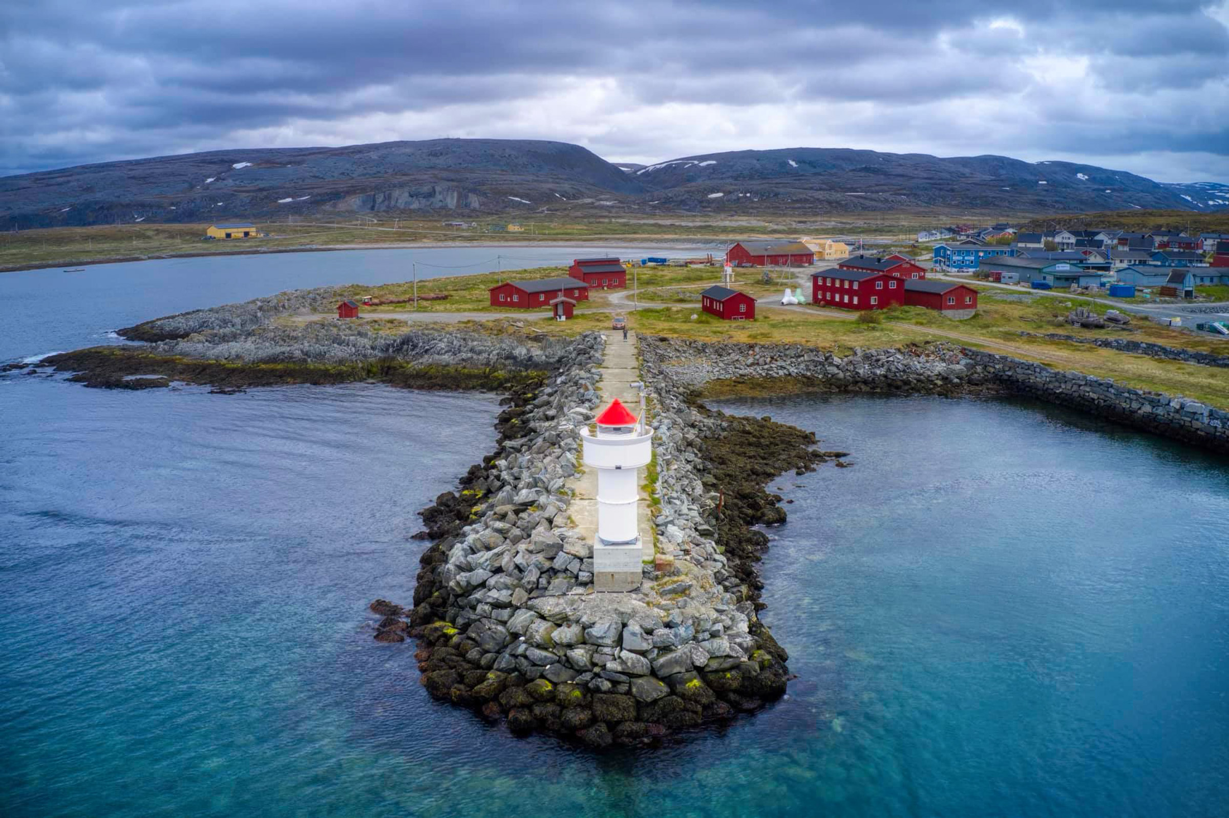
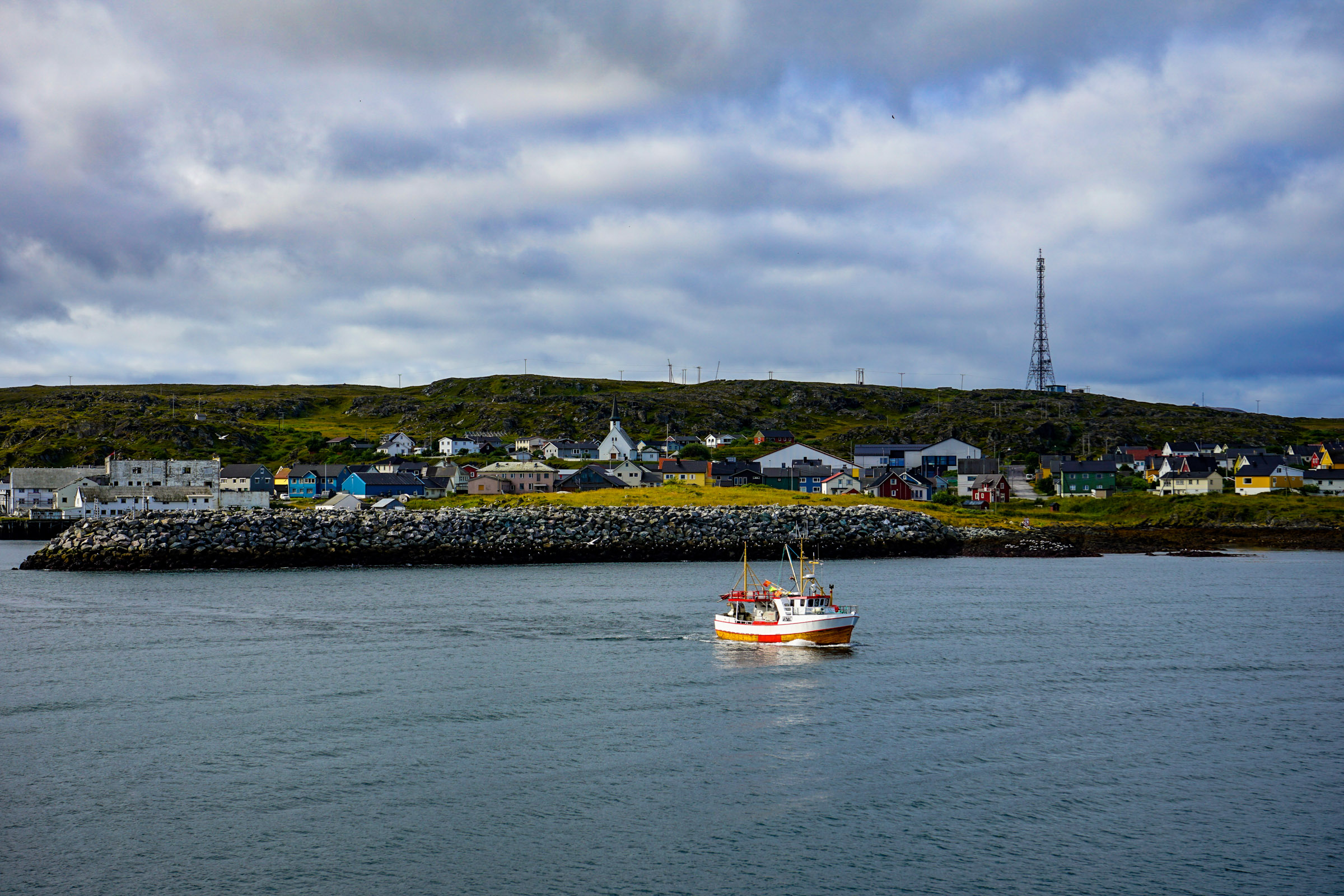
The centre of Berlevåg is a shred of civilization amongst mighty nature
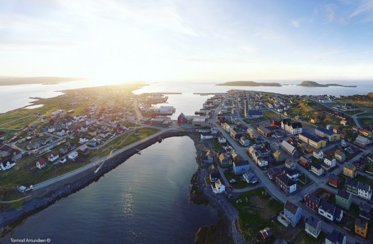
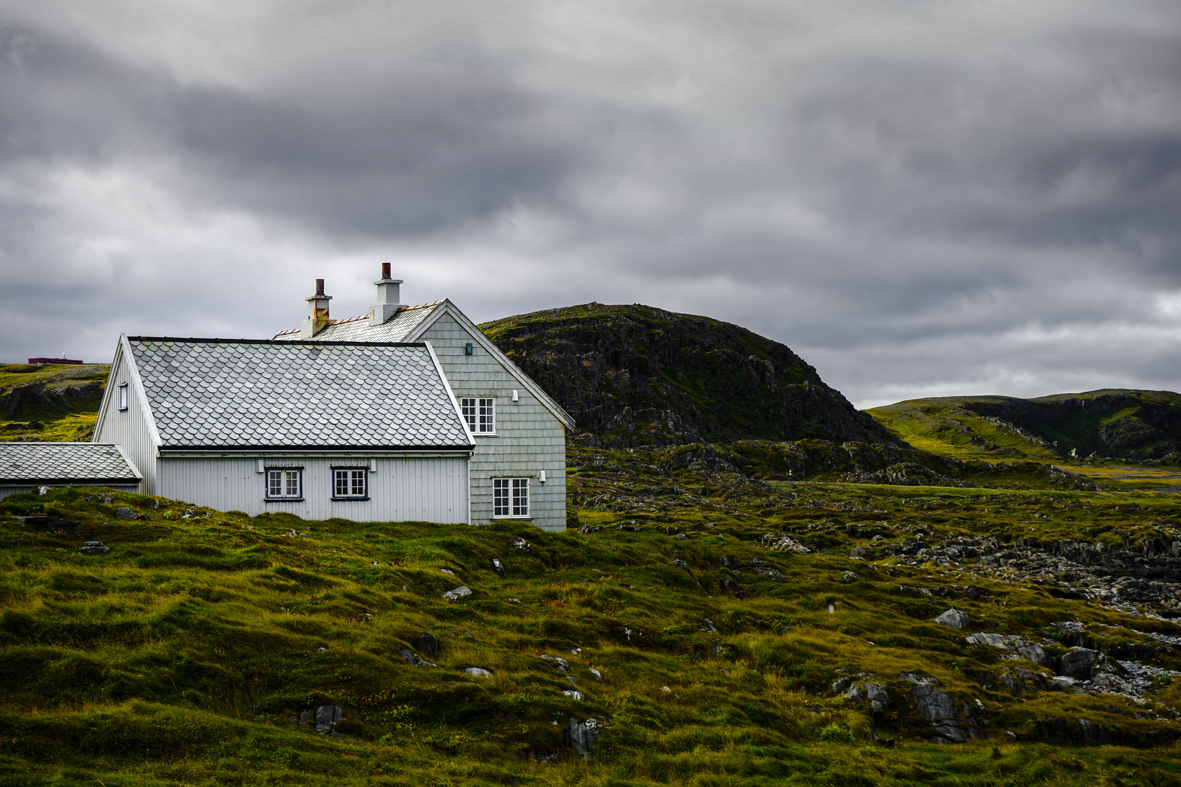
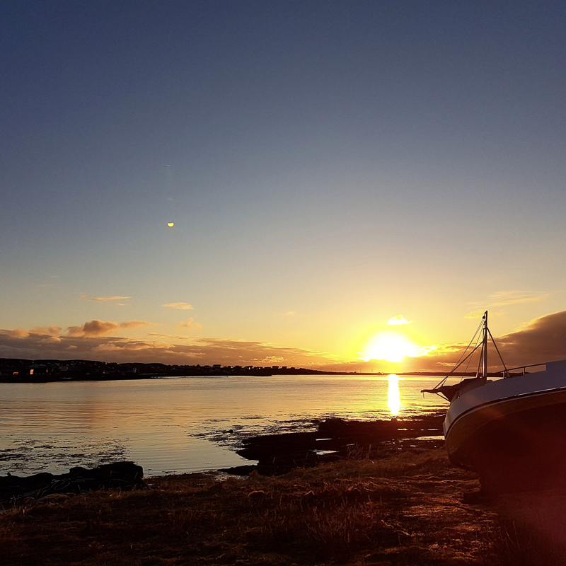
Almost all of the barely one thousand people in Berlevåg live close together in the fishing village. Berlevåg church is the landmark of the settlement, constructed in 1960 and designed by Hans Magnus. In the centre you can also visit Arctic Glasstudio Berlevåg, where Daniela Salather creates glass products inspired by the nature of Finnmark. In Gallery Annen Etasje there are constantly new exhibitions of art. Kvitbrakka is an artist’s residence with a café and rooms for gatherings. All in all, little Berlevåg is a small oasis of urbanity and human activity in the middle of inhospitable nature. The contrast to the surrounding plains is striking.
Ready for sailing in this on the open sea?
The hike to Tanahorn offers horizon views
To get the best overview of this rugged Barents Sea coastline, Tanahorn at the mouth of the Tanafjord, is a must visit destination. Nine kilometers and 270 meters of altitude provide an extensive view towards the North Kyn Peninsula in the west, towards Berlevåg, into Tanafjord itself and towards the plateau landscape to the southeast. However, the eye is often drawn to the fishing grounds and the unbroken horizon to the north.
Store Molvik is the end of the road
Fylkesvei 890 has its end point in Berlevåg. However, you can drive on, and take the small gravel road that leads to Store Molvik, which was once a thriving fishing village. Now there are only a few cabins between the fjord and a small lake, from which the North Kyn Peninsula is visible across the Tanafjord. When the weather is good, you may see some of the cabin owners on their porch, otherwise, this end of the road location is great for a picnic.
Frequently asked questions about the routes to Berlevåg and Båtsfjord
We have outlined a drive from Tana bridge from the E6 in Eastern Finnmark on national roads 890 and 891 to first Syltefjord (129 km, just over two hours) and Båtsfjord, then 30 km back to the junction to Berlevåg (Syltefjord-Båtsfjord-Berlevåg 112 km, 2 hours). The return from Berlevåg to Tana bridge is 134 kilometers and takes about two hours. There are short-haul airports in both Båtsfjord and Berlevåg, and both fishing villages are a stop on the hurtigruten path.
Båtsfjord has two hotels, Polar Hotell and Båtsfjord Hotell, as well as Båtsfjord Brygge with fisherman’s cabins. Here there are several dining options, and opportunities to drink a glass or two. Simple backpacker accommodation can be found in Syltefjord. Kongsfjord Gjestehus is a historic accommodation location while Berlevåg has Berlevåg Pensjonalt og Camping and Berlevåg Motell.
Sometimes the Russian air hits the area, with 30 degrees, meanwhile a few years ago, the snow settled on the mountain pass in early July. Windproof jacket and good shoes are important, and having a hat, pair of mittens and woollen underwear at hand isn’t a bad idea. Don’t forget your swimming trunks however, and never trust what the locals are wearing. They will get the shorts out even when the temperature gets over 10 degrees Celsius.
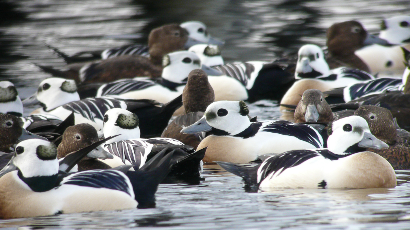
Yes! The birdwatchers come all winter to look at Arctic ducks. The snow kite competition VAKE takes place in late winter. However, you have to expect closed roads and bad weather, but if you talk to the locals before you drive over the mountain passes, it should go well. The roads to Store Molvik and Syltefjord are not open, but you may be able to find trips by snow scooter.
Check Visit Varanger’s homepage.