
Do you remember your car rides from childhood? Little brother would ask mom after ten minutes, “are we there yet?”. The parents in the front seat offered ice cream or threatened to confiscate ice cream if you didn’t behave, and proposed counting cars to pass the time. I always wanted a Ford, because there were many of those around. Let’s say it right away. This trip is not suitable for those who want to get somewhere fast, or those who can’t sit still or those who need constant entertainment. Children or adults. If you think Route 66 in USA and the Trans-Siberian railway are on your bucket list, the Finnmark journey may be something for you.

What is the big Finnmark journey?
It’s okay that you haven’t heard about it before. We just made it up after driving there a few times. Classic fjords and mountains are absent here. Instead, you will see the highlands, small forests, rocky beaches and the open sea. The population is sparse in this vast landscape, but their history and stories are grand and rich. Their stories include the cultural heritage of Sami, Kven and Norwegians, about World War II that destroyed so much, and the reconstruction – and about the eternal fluctuation of natural resources. Their stories are also about attitudes, moods, humour and philosophy of life – far from major urban areas.
Where does the journey lead?
We chose to start in Alta, drive to Kautokeino, Karasjok, Lakselv and then to Honningsvåg and Nordkapp before turning southwest to return to Alta. Then we added detours to Havøysund and Hammerfest. You can decide to drive on, towards East Finnmark, on the E6 freeway from Karasjok, or via national highway Rv98 over the Ifjordfjellet hills, and maybe take the detour to Nordkyn on the way.
We chose to start in Alta
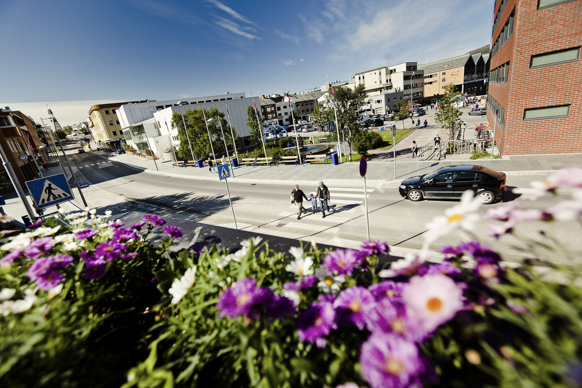
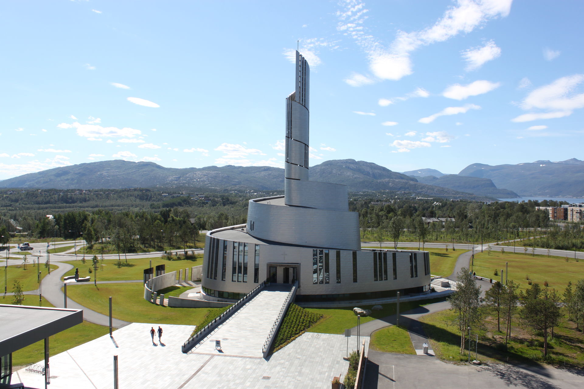
Alta is where things happen in Finnmark; a new, modern city center with a shopping center, the Nordlysbad Jacuzzi Park and nice restaurants and bars. Everything in downtown Alta (“Alta City”, as they say here) is within walking distance. At the end of the pedestrian street rises the Northern Lights Cathedral with its curved lines. They are inspired by the northern lights, and end in an elegant bell tower. The interior is warmer and more inviting than one would expect in a modern church, and in the basement there is an exhibition about the northern lights.
The petroglyphs are one of Alta’s greatest attractions
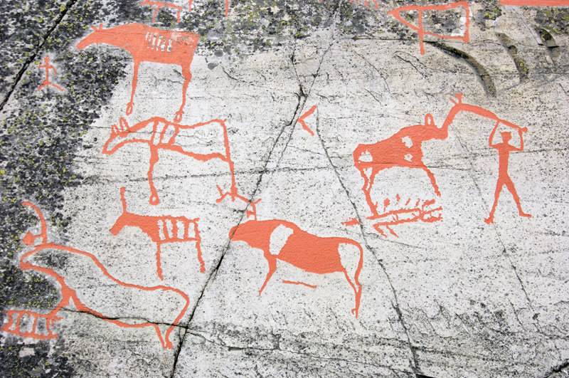
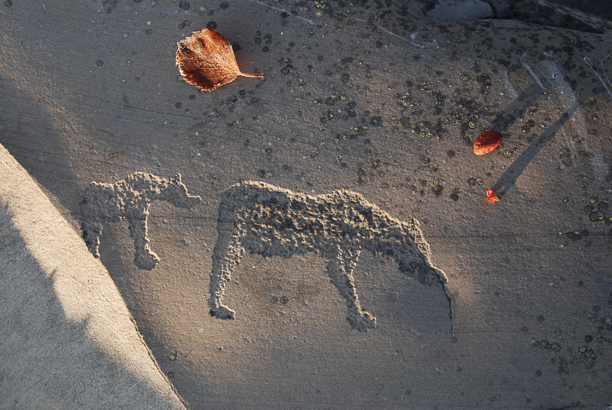
Reindeer and elk can be seen, sometimes in full figure and sometimes just sticking their heads out of the water. Strange geometric figures, a cartoon-like sequence in which a bear is chased out of the den and killed in early spring. The petroglyphs in Alta are a myriad of figures, the oldest from 5000 BC, the youngest from around the birth of Christ. There are around 3000 petroglyphs at Hjemmeluft, and then there are 3000 more in other places around the fjord. Stone Age people obviously used Hjemmeluft as a meeting place.
Alta Museum tells the story of the rock carvings
The petroglyphs in Alta are on the UNESCO World Heritage List. The museum does a good job of explaining the meaning of the petroglyphs. We also recommend guided tours of the outdoor complex. Otherwise, the Alta Museum has a good exhibition of religious art, exhibiting Sami shamanic drums with Catholic saints; two spiritual movements that existed simultaneously in Finnmark for centuries. The Wirkola exhibit on a legendary ski jumper brings back memories for some, while salmon fishing in the Alta River is the talking point in the summer around Alta.
You can reach the gorge in Sautso by river boat
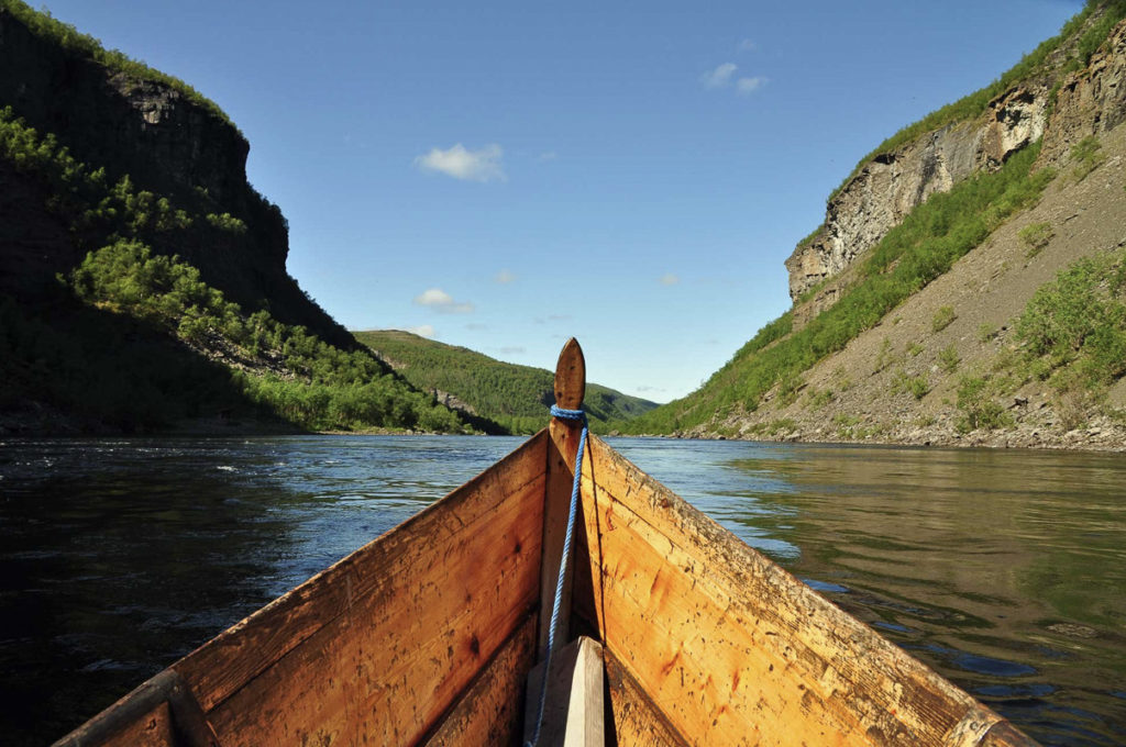
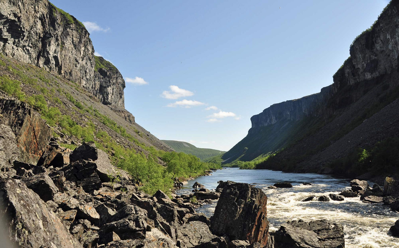
Sautso is one of Northern Europe’s largest gorges (spelled Čávžu in Sami). The Alta River digs its way down from Finnmarksvidda here, into the valleys in Alta on its way to the fjord; the gorge is 300-400 meters deep along a stretch of 10 kilometers and is perhaps Europe’s largest river bed. Alta Canyon is easiest to reach by river boat from Sorrisniva, which is fun for most ages for a few hours after breakfast. The river is only open for boat traffic in the middle of the day. The rest of the time, the salmon fishermen occupy the river.
The Finnmark Plateau is not flat
From Alta, the E45 motorway runs south through pine forests and past many farms. Then the road turns towards the cliffs and mountains along the Eiby River before reaching the plateau itself. We tend to think about Finnmarksvidda, the Finnmark Plateau, as being flat, but it is rather hilly with long ridges formed by glaciers during the ice age, with river valleys, ponds and bogs scattered about. Many of the lakes and ponds line up like a string of pearls with small, steep streams in between. In the valleys, the birch trees can be quite high, and the depressions often contain green, dense willow bushes. On the bare ridges, however, only lichen and moss grow.
The plateau is both barren and a cultural landscape
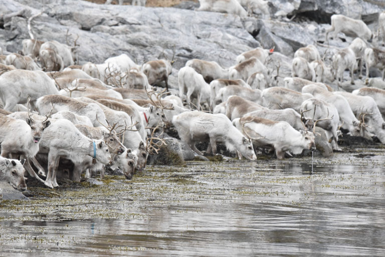
The landscape appears empty, but is in fact an area in use by people. The area has been a winter pasture for the reindeer herding Sami for several hundred of years, since lichen is plentiful here for the reindeer, lying just below the dry inland snow. In the spring, the reindeer migrate down to the coast, true to ancient instincts, where fresh grass awaits under melting snow. There is not much reindeer to be seen on the plateau in summer, but wait until you reach the coast.
Máze is the most Sami village in Norway
The first township you come to on the Finnmarksvidda plateau is Máze (Masi). 98% of the 200 inhabitants are Sami, and the Sami language is in use everywhere. The place has an interesting history, since the first church was built here in the 17th century by the Swedes who built churches in undefined border areas. A dam was planned that would flood the entire village under a large artificial lake in the 1970s, but the final development of the Alta-Kautokeino watercourse was scaled down and the village spared. The old cemetery by the river has many historical graves, but no one was buried here for a time in the seventies.
Nieidagorži is a waterfall named after a local legend
Nieidagorži, or Pikefossen, is a beautiful place to stretch your legs south of Máze. This waterfall is only eight meters high, but the current from the Kautokeino watercourse is strong, which makes for some roaring rapids. “Nieida” is girl in Sami. The girl in question was a maid who, according to legend, failed to stop a reindeer herd from crossing the river here. The ice broke, and the reindeer herd disappeared into the water. The angry owner of the reindeer stuffed her in a barrel and sent her downstream to die. Yet, she survived and was found later in Alta.
Kautokeino; a Sami stronghold on the plateau
Kautokeino is the most Sami of all municipalities in Norway and is home to the Sami University College and the Beaivváš Sami national theatre. Most striking is the beautiful church from 1958 which overlooks the church grounds where around 1500 people live today.
Tradition and creative shape
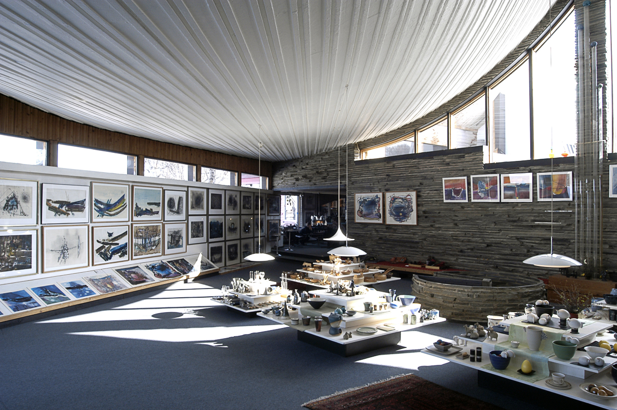
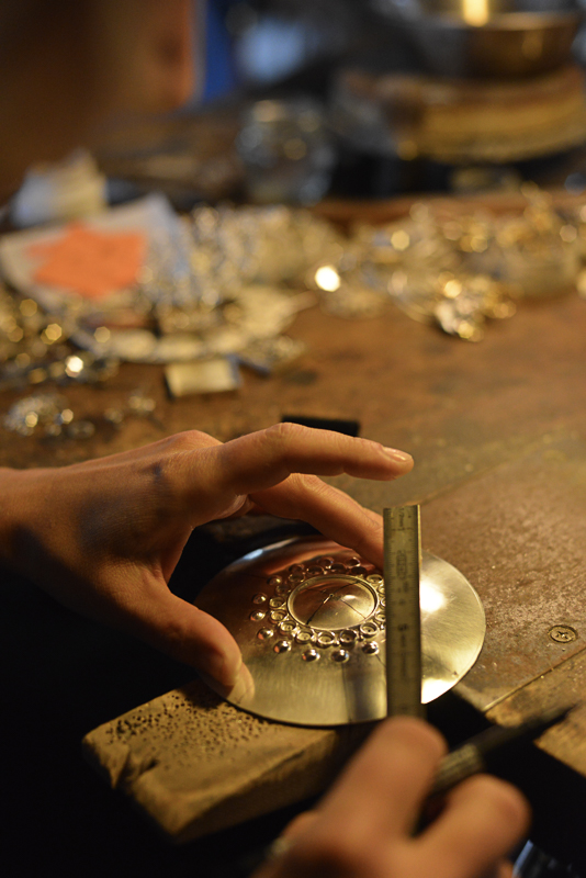
The Juhls’ Silver Gallery is the home of new and used heirloom silver
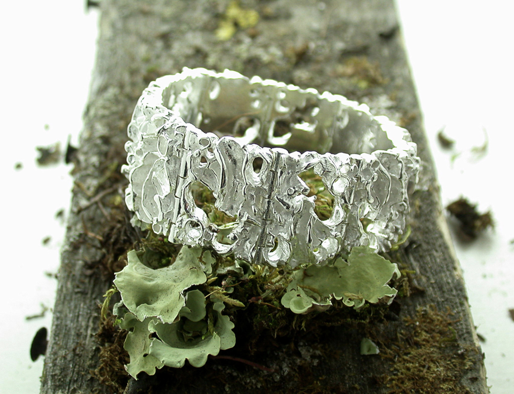
The curved lines of the Juhls’ Silver Gallery arouse curiosity. Regine and Frank Juhls started their silversmith shop where they produced silver for the Sami. The Sami did not have their own silversmith tradition, but they did buy silver from the east or south. By contrast, Regine began to design her own original, modern silversmith art in a line of jewelry called Tundra. Join a walking tour of the gallery and see the different phases that the creative couple went through.
The Kautokeino Rural Museum tells the story of the village
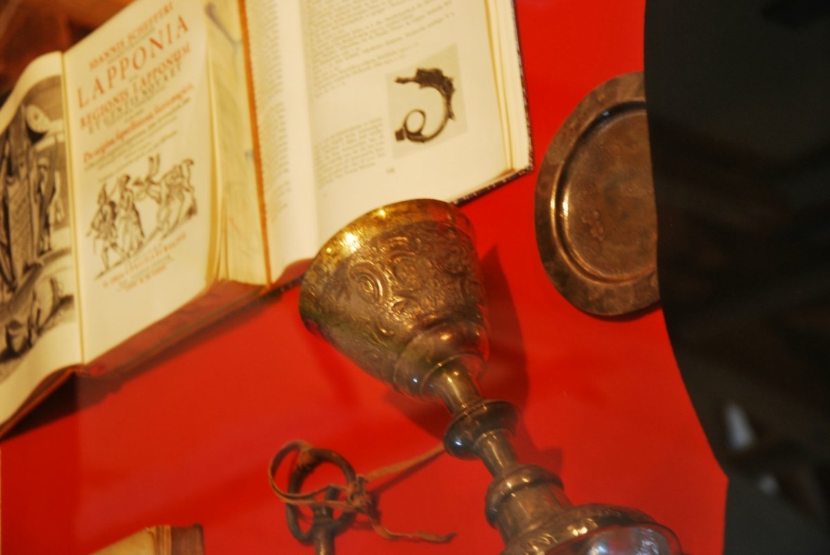
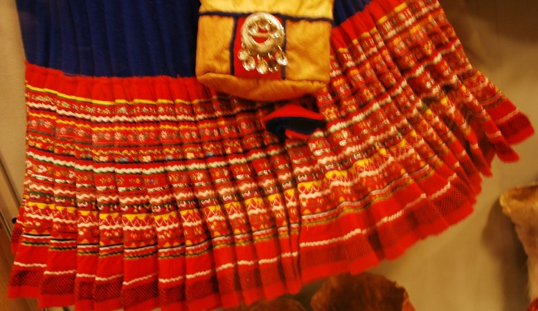
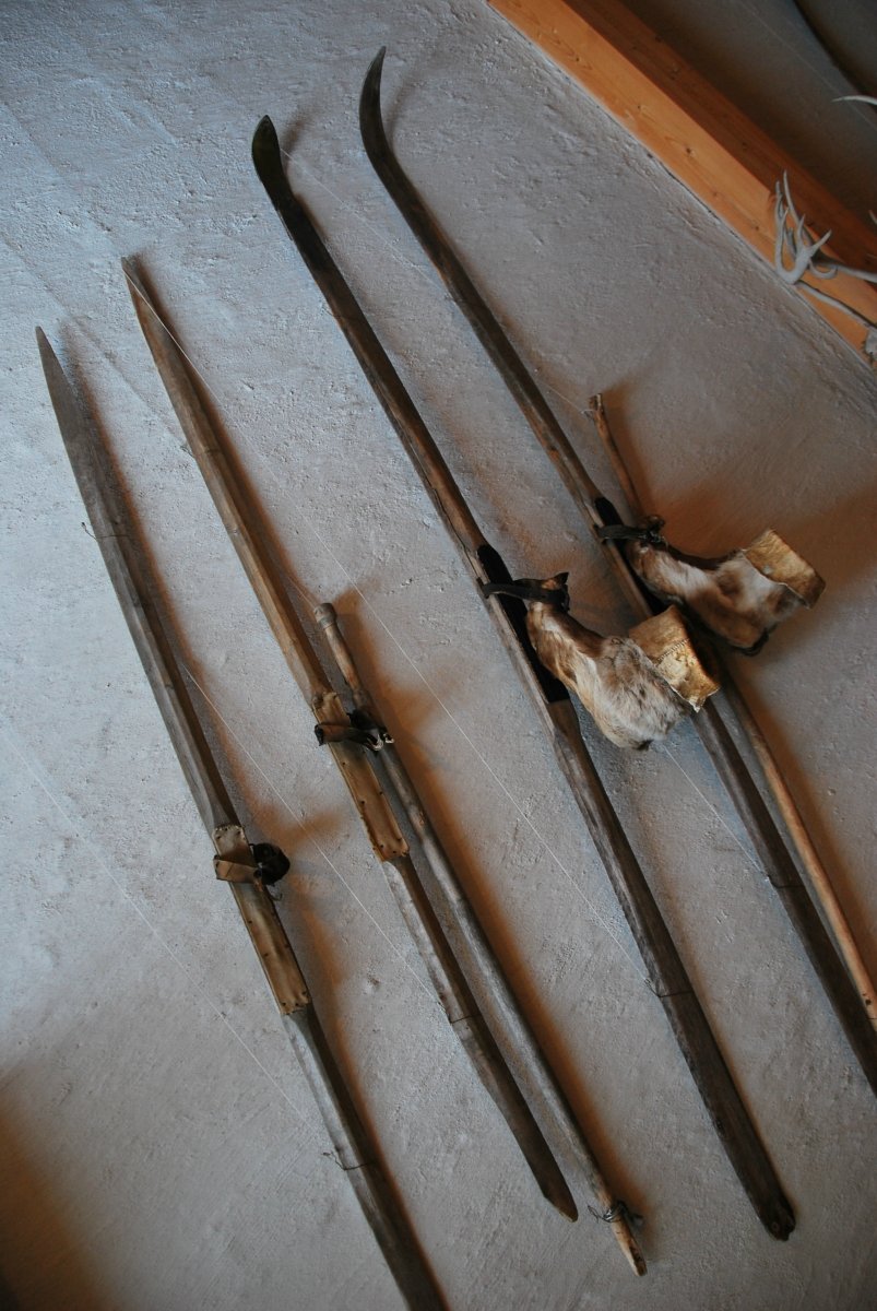
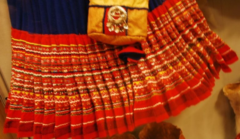
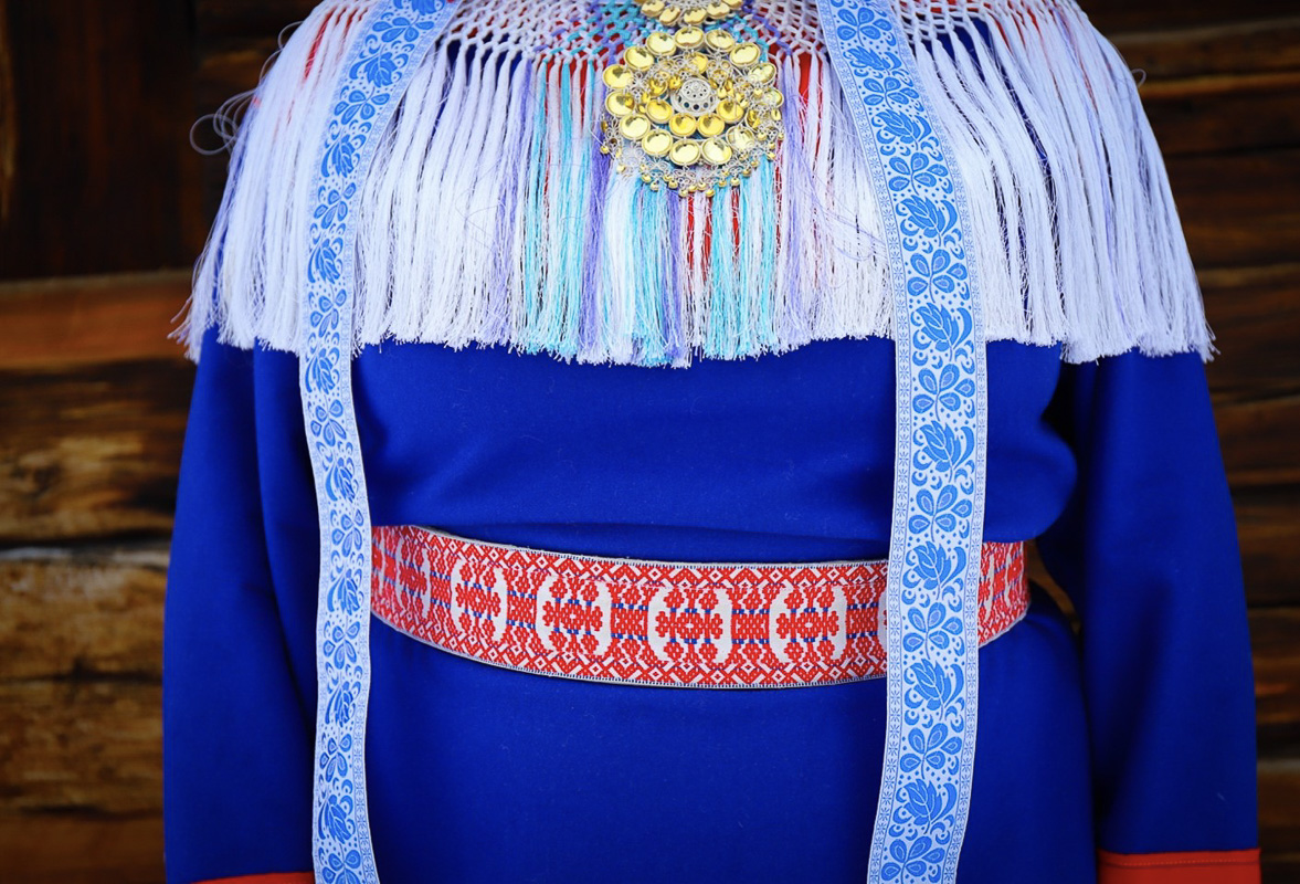
Before the highway to Kautokeino was constructed in 1964 a crawler truck was used to bring food and supplies from Alta during the winter. A small model of this tracked vehicle is seen at the Kautokeino Rural Museum, which illustrates how isolated Kautokeino has been throughout its history. Old black and white photographs and bric-à-brac from different periods give us an impression of what life was like here, surrounded by rugged nature. Costume traditions are given a lot of space, today’s colourful clothing fashion and the simpler costumes of the past. The church silver from the old church that was buried by the priest’s wife in the autumn of 1944 tells a different story.
Take the hike to the trig point
A rare triangulation point is a nice and not too hard hike. Triangulation points were used to measure the curvature of the earth at that point, and was part of the German-Estonian-Russian astronomer’s von Struve’s project to measure the size and shape of the earth. A trig point was erected on Bealjásvárri mountain on the Finnmarksvidda plateau which was measured and had been used for observations since the middle of the 19th century. There is a marked trail here, from the small hamlet of Ávži east of Kautokeino.
National highway Rv92 is the road to take across Finnmarksvidda
National highway Rv92 crosses the Finnmarksvidda towards Karasjok from Gievdneguoika north of Kautokeino. Now you are in the middle of the plateau, and you feel far from civilisation. Yet, there are small settlements to be found along the highway, such as Láhppoluoppal and Jergul.

Karasjok is the Sami capital
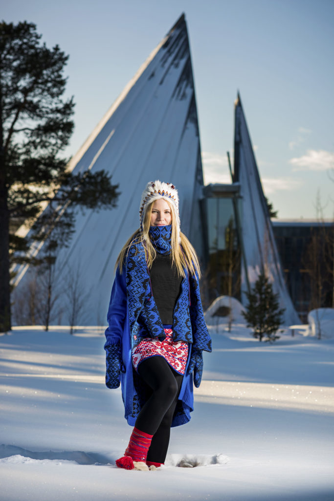
Quite different from Kautokeino, Kárášjohka/Karasjok lies in the pine forest around Kárášjohka River a few kilometers before it joins Anárjohka/Anarjokka and becomes the Tana River. After many miles on the plateau, Karasjok is a busy crossroads with hotels, restaurants, shops and a slight hint of city life with 1800 inhabitants.
The Sami Parliament is the Sami people’s elected body
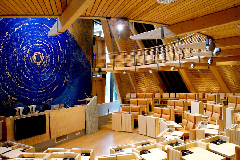
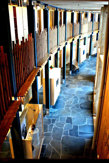
Since 1989, the Sami have elected their own national assembly, the Sami Parliament, with representatives from the entire Norwegian Sápmi region, and also from the emigrant community in the south. The Sami Parliament building was completed in 2000. It is a bit like the Sami people themselves. It seems modest and underwhelming at a distance. If you get closer, you see that the simple lines both harmonise with the landscape and are beautiful in themselves. A tour of the building takes you into the parliament hall and to the world’s largest Sami library. If you cannot read the Sami language yet, perhaps a comic book of Vulle Vuojas (Donald Duck) is best to start with.
Learn about the Sami Culture
The Sami Collections of art, culture and history provide a great overview of the Sami lands and people
You mustn’t leave Karasjok without visiting the Sami Collections – Sámiid Vuorká-Dávvirat. This is an extensive collection of exhibitions about duodji (Sami handicrafts), folk costumes and customs, about the old Sami religion, types of houses and much more. There is a large collection of different buildings outside the museum, showing goathi – turf huts, preserved mountain lodges and farm life. As so much was destroyed during the war, this is a valuable collection of buildings to learn about Finnmark’s history.
The Sami Center for Contemporary Art takes the pulse of Sami art
The Sami Center for Contemporary Art is an exciting contrast to everything old. Here you can see Sami contemporary art exhibited in changing exhibitions by Sami artists. Exhibitors from other indigenous peoples are also often exhibited here.
Karasjok Church is Finnmark’s oldest church
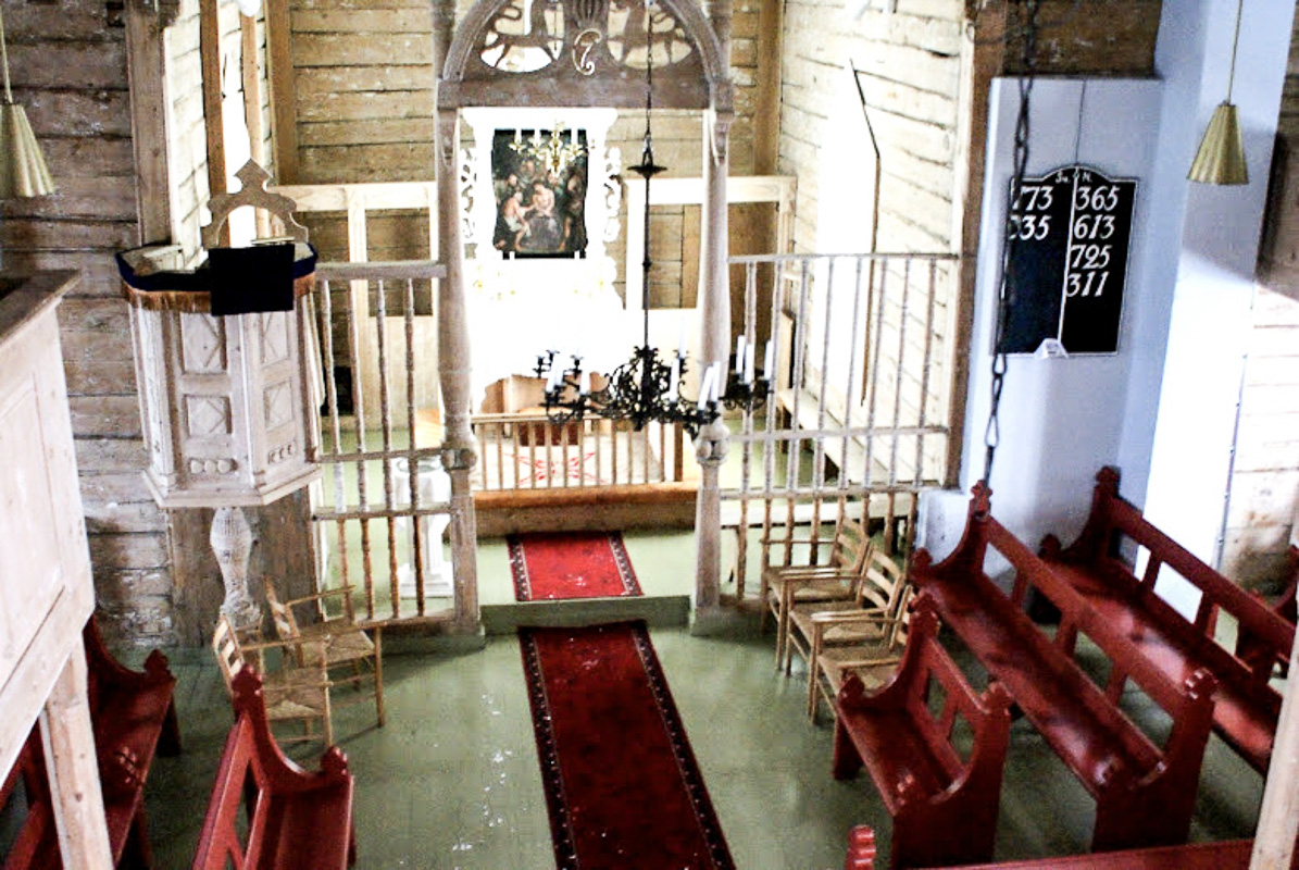
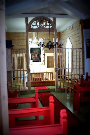
The church in Karasjok is from 1807. It was the only building that survived the war in Karasjok. This small building has 150 seats and a beautiful Empire style interior, and it is also topped with an onion dome tower in the same style. A Norwegian troop of soldiers marched into a German minefield in May of 1945. 22 soldiers were killed. There is a monument to the fallen soldiers outside the church, which was then used as a hospital. A new and larger church opened in Karasjok in 1974. It was inspired by the Sami tent (lavvo) and has a modern wooden interior.
Sápmi Park is a Sami culture zone that informs in an entertaining way
Sami turf huts and tents (lavvu), reindeer you can feed, and duodji are built at Sápmi Park, where traditional Sami culture is brought to life for us today. Stálubáktu – the mountain of the spirits – is a magical theatre show about the Sami’s relationship to nature and ancient beliefs. You can find duodji in the shop and maybe buy Sami shoe ribbons to take home.
Point your nose north to Porsangerfjorden
From Karasjok towards Lakselv, there is more forest than further west, much of which is low-growth pine trees. There are small settlements in some places, such as at Skoganvarre. With more than 2000 inhabitants, Lakselv is the largest town along the road with shops, hotels and restaurants. The road follows the wide Porsangerfjord from here surrounded by low hills and lots of islets and reefs along the shore.
The Stabbursnes nature house for exploring the world’s northernmost pine forest
Stabbursdalen National Park is an untouched forest and mountain area on the west side of the Porsangerfjord. The world’s northernmost pine forest is found here. The area also has a population of the highly endangered lesser white-fronted goose. To learn more about Europe’s northernmost forest, you can stop by Stabbursnes nature house and check out the exhibitions. Feel free to ask for a tour.

Maybe you will start believing in trolls again
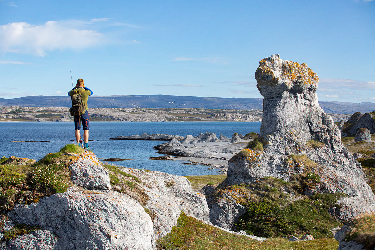
A pack of trolls once wandered across the plateau with a trunk full of silver and gold. When they came to Porsangerfjorden, they lost track of time while burying the trunk, and the rising sun surprised them. And then the trolls turned to stone. You can see the trolls which – according to boring geologists – are 700-million-year-old dolomite rock formations, on their way north along the west side of the Porsangerfjord.
The least-known Tourist Route leads straight to the sea
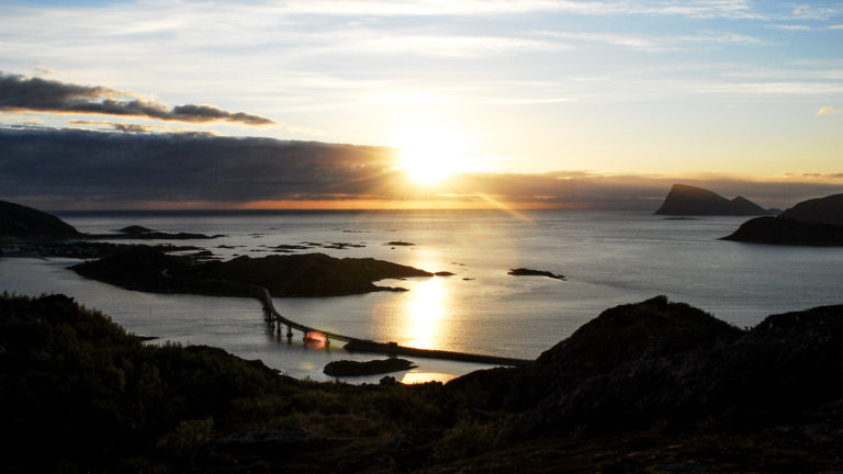
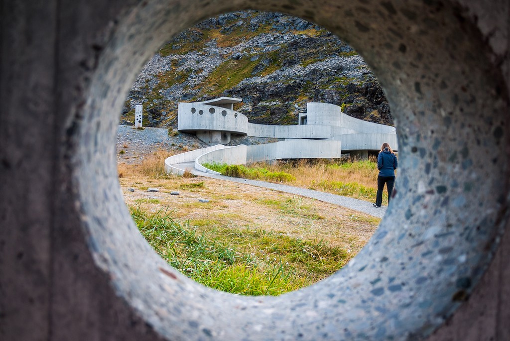
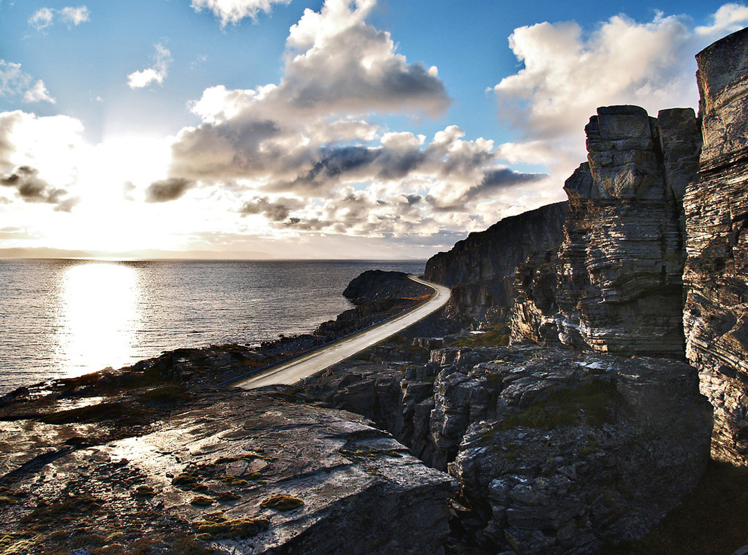
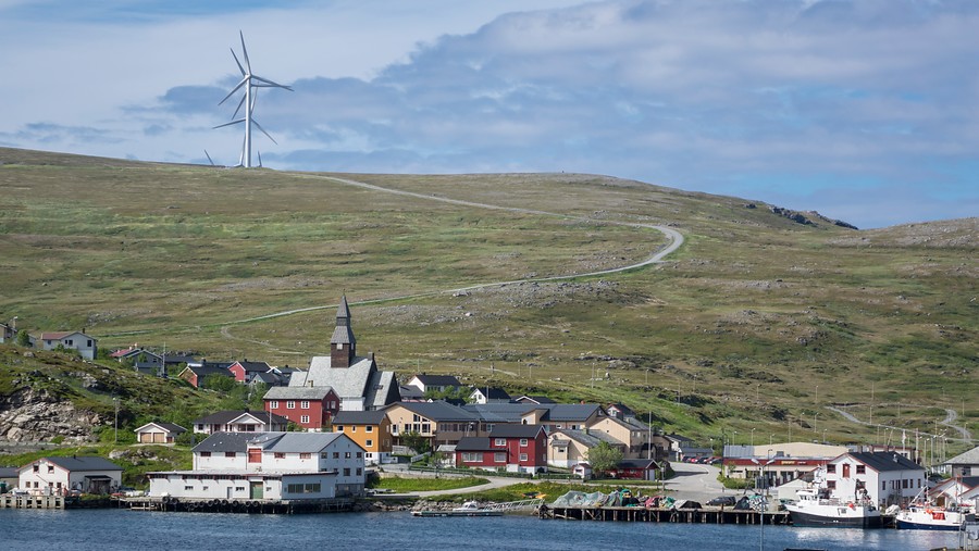
The Norwegian Scenic Route to Havøysund is strangely unknown, and thus a destination for the advanced traveller. The small Sami village of Kokelv is surrounded by a small forest, while the landscape becomes more barren and wilder across the fjord, with geology layered like pages in a book. The rest area at Selvika is a rolling structure that provides a piecemeal view of the fjord through many small windows. Finally, you reach the fishing village of Havøysund, with the Arctic View viewpoint with unobstructed panoramas of the Arctic Ocean. Feel free to join one of the small boats to visit Rolvsøy, Ingøy and Måsøy, the small fishing villages on surrounding islets.
Visit the land of giant cloudberries
Tamsøya is a privately-owned, flat island far out in the Porsangerfjord. Large, delicious cloudberries grow on the flat marshlands on the island. If you arrive during the holiday season in July, the berries are red and unripe. In early August, however, they are deep yellow and ripe. Tamsøya is now able to receive guests. You live in a reconstruction house from the 1950s that have not changed much since then. There are short hikes along the beach and along the cloudberry moors to enjoy the summer silence.
Magerøya is a north cape island
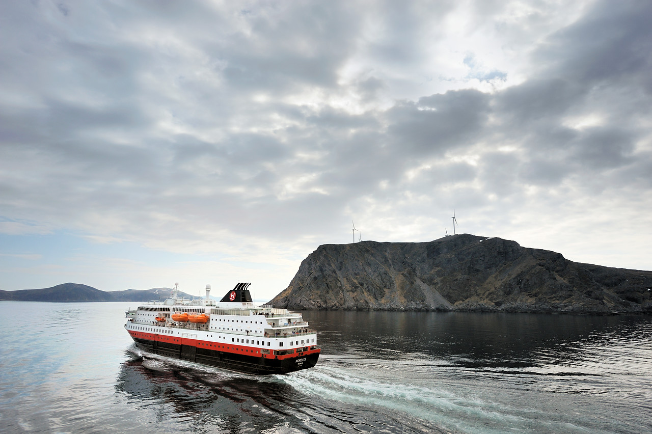
Magerøya is actually Norway’s northernmost land area. This large island is shaped like a cake, steep along the coast and flat at the top. Honningsvåg is sheltered on the south coast, on the inside, and is a small town with almost 3000 inhabitants. There are three fishing villages (Gjesvær, Kamøyvær and the northernmost of them all, Skarsvåg) around the island.
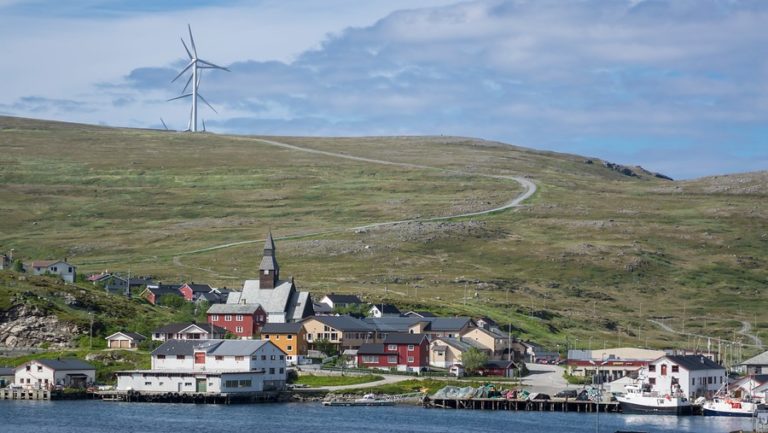
Nordkapp – The North Cape – is a milestone
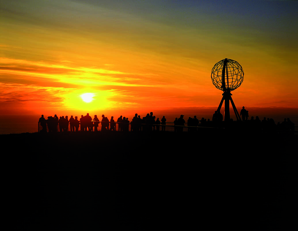
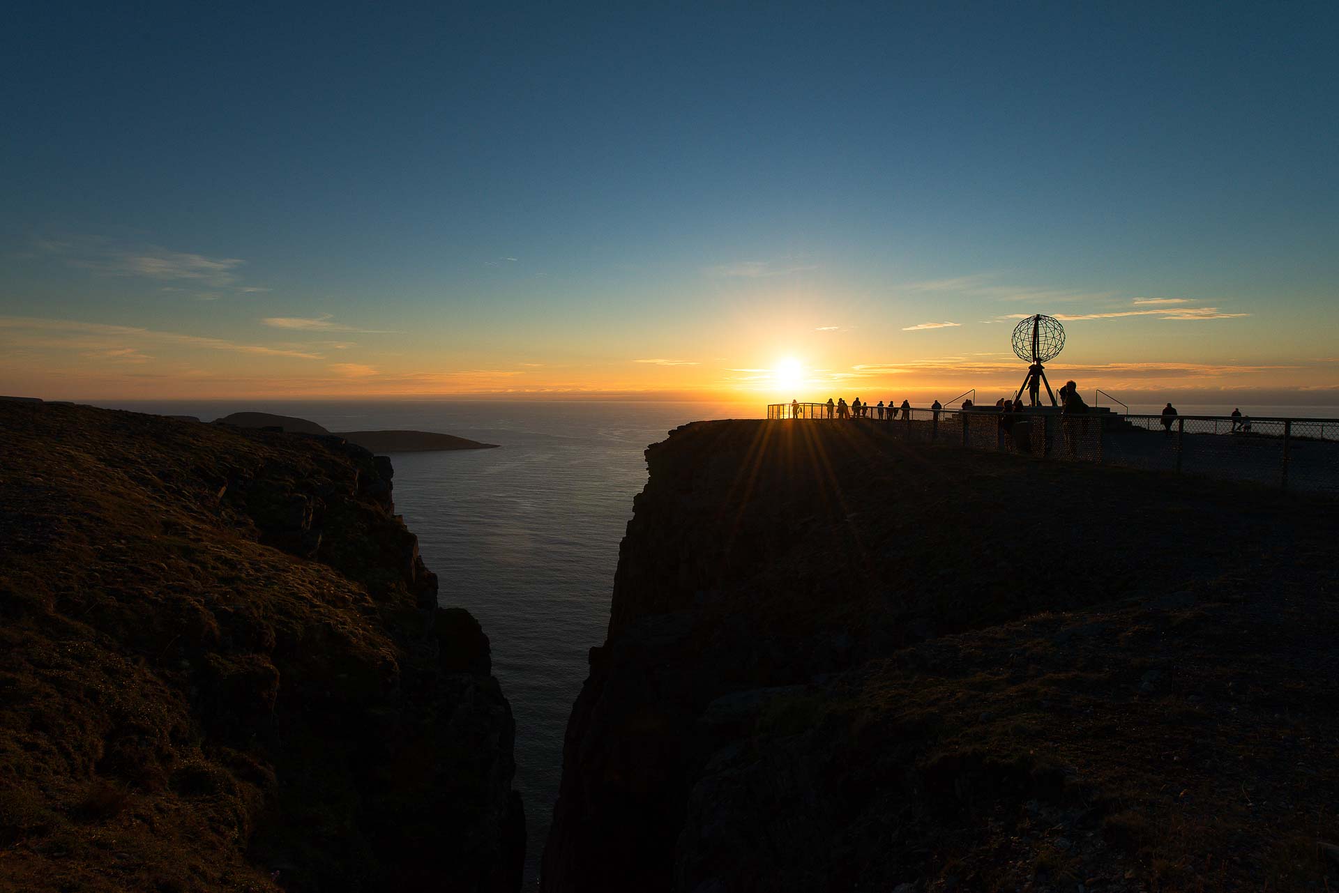
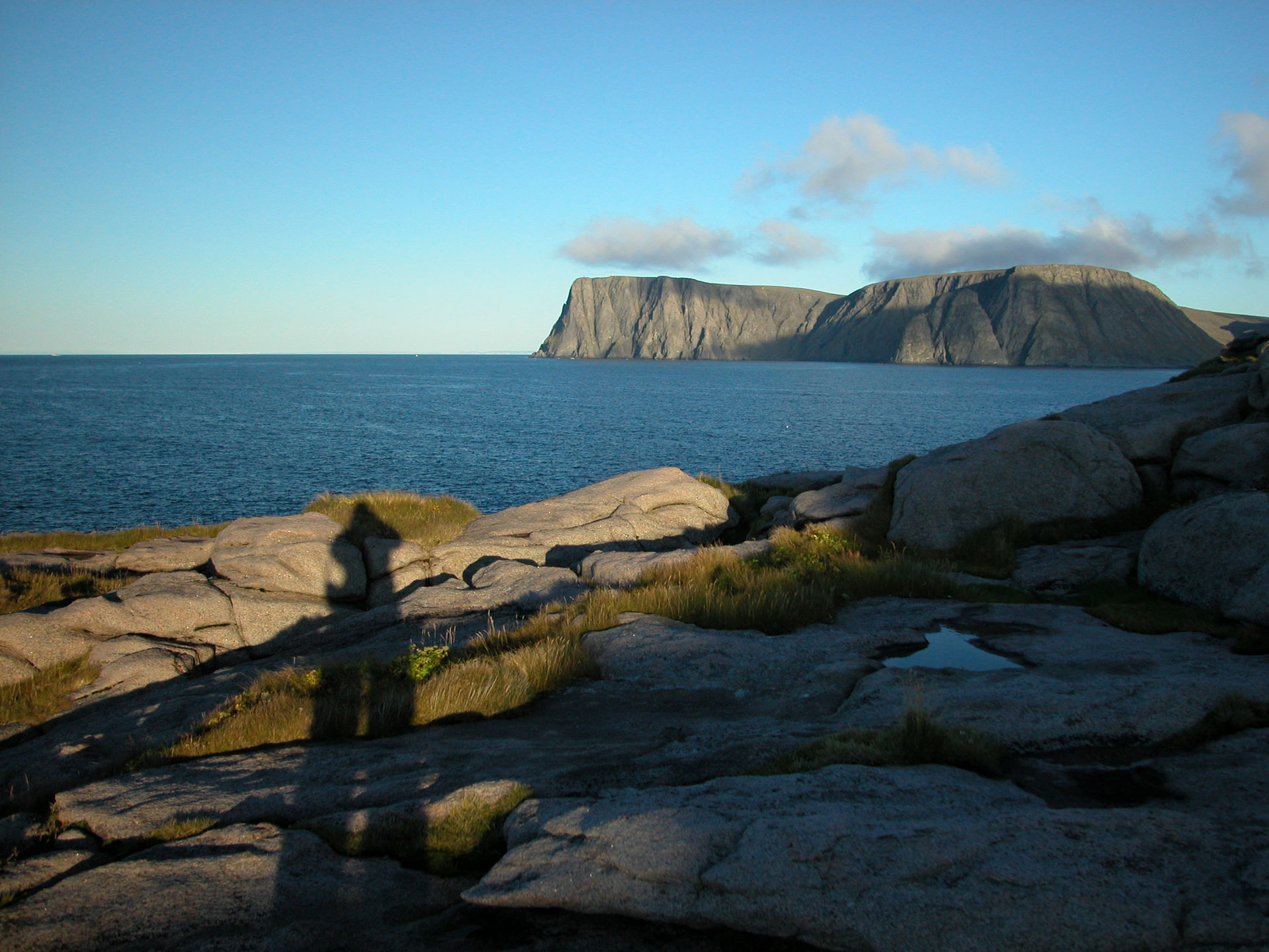
The North Cape cliffs rise 307 meters above the Arctic Sea. When you look north, you actually see nothing. In 1553, the Englishman Richard Chancellor gave the North Cape its name because he saw that the coast slopes due-southeast from here. Since then, this sailor’s milestone has been a well-known landmark on the seven seas.
Gjesværstappan is a bustling place in the summer
One million puffins and hundreds of thousands of auks, guillemots, ospreys, kittiwakes, northern fulmars and cormorants nest on the rocky islands west of Gjesvær, at Gjesværstappan. The mood out here is stressful and busy. A lot of small fish are harvested by the birds and brought to hungry hatchlings and nestlings before they leave their nests as juvenile birds in August. The bustling, noisy spectacle is only a few minutes by boat from Gjesvær.
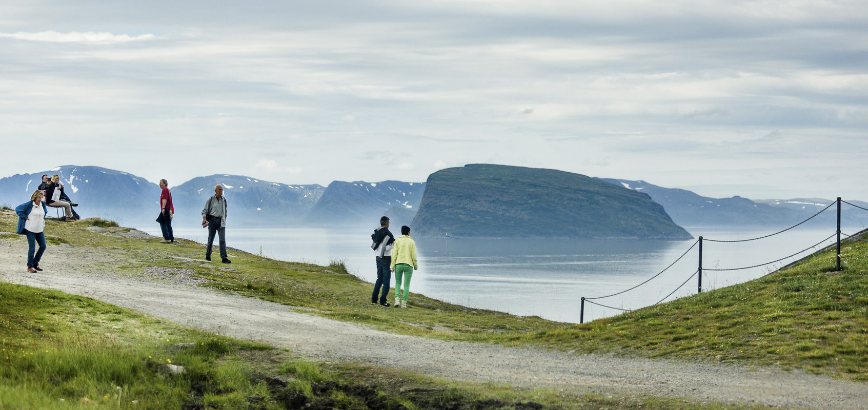
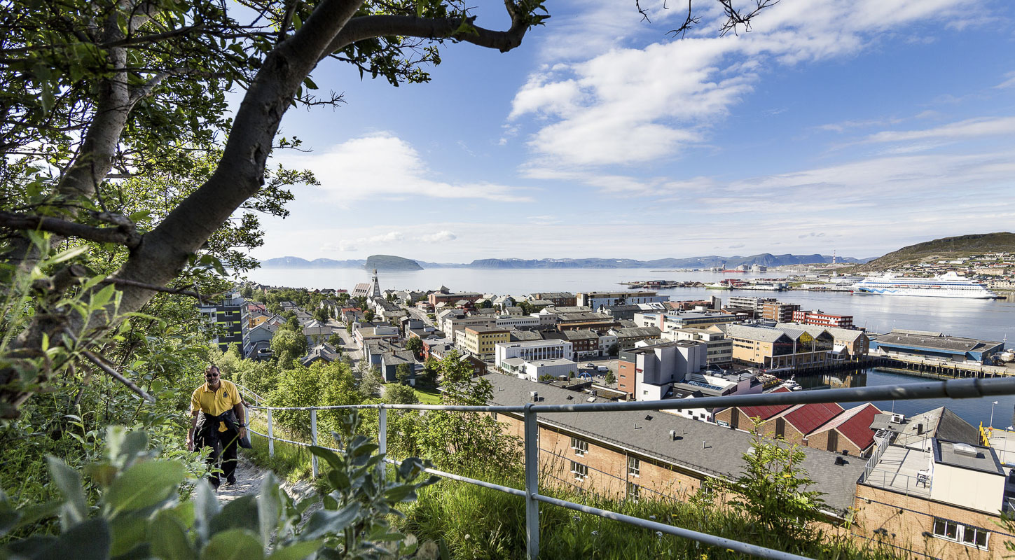
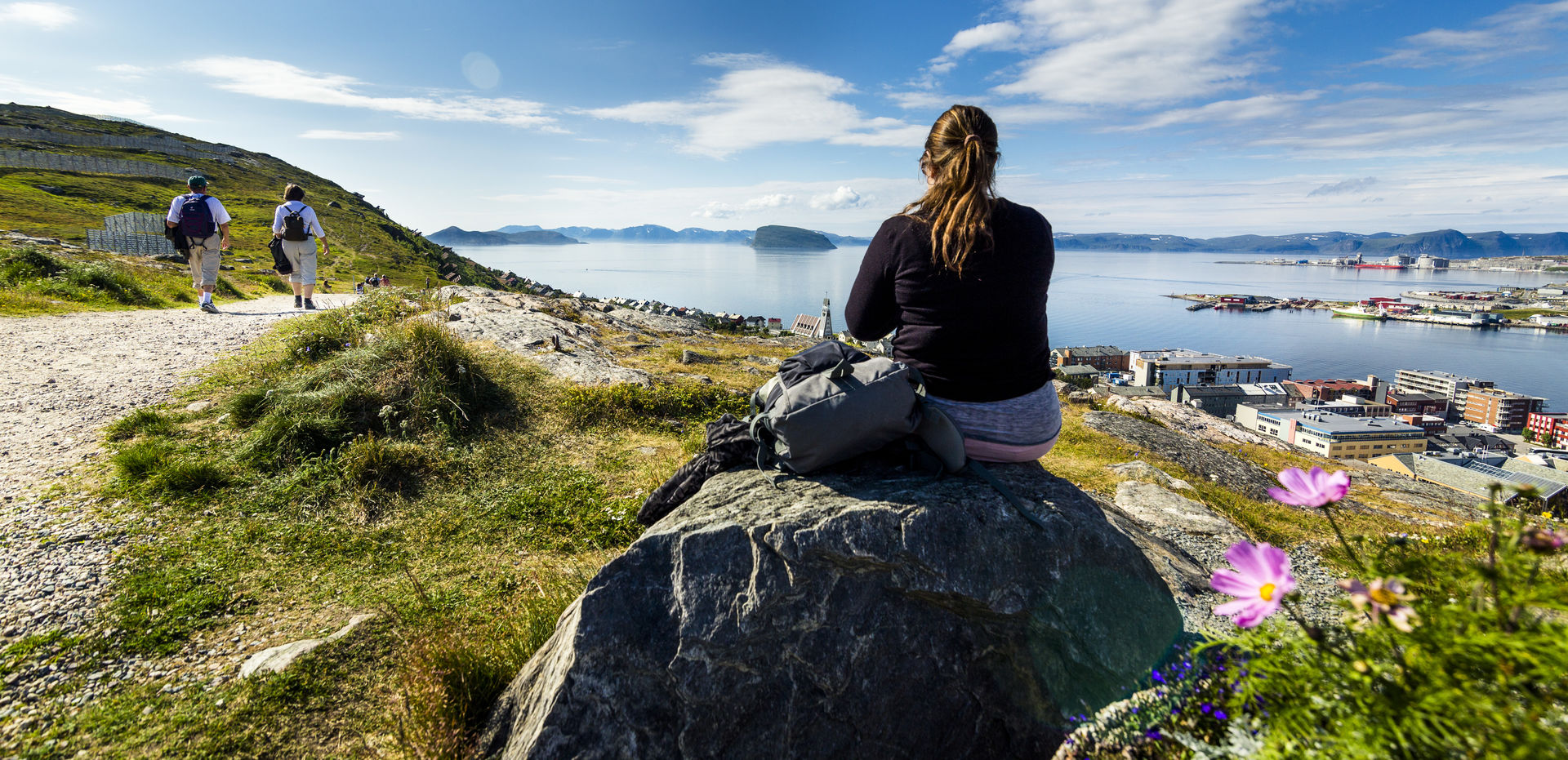
Hammerfest is the northernmost city in the world
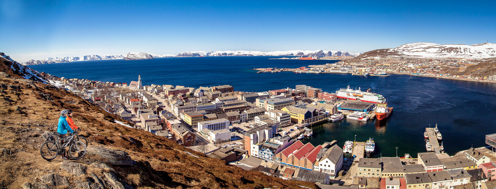
With city rights dating back to 1789 and an interesting history as an urban outpost in the far north, Hammerfest is well worth a detour from the E6 motorway. The city center was rebuilt in 1944 in the colourful, cubic reconstruction style and offers many surprises. We recommend a trip up to Salen to see the view, as well as a drive to the Meridian Column, erected in memory as exciting as measuring the earth. That is why it is actually on the UNESCO World Heritage List. The church is from 1961 and one of the most beautiful reconstruction churches.
The Reconstruction Museum addresses the full extent of war destruction
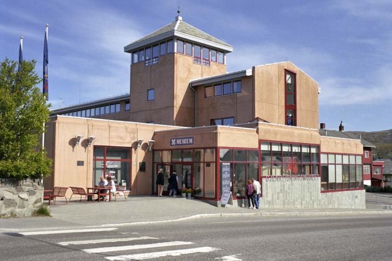
If you spend a couple of hours at the Reconstruction Museum for North Troms and Finnmark, you will be both a little wiser and a little moved. The exhibitions take you from pre-war Finnmark through the Nazi scorched-earth destruction, the life of displaced persons and the life of those who lived in the caves to the reconstruction era based on modern ideals. The story is told in a wide and detailed manner, and it is about deep despair and new courage. Set aside some time!
Take the mini-sightseeing boat trip to Sørøya
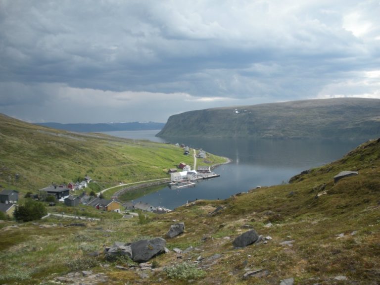
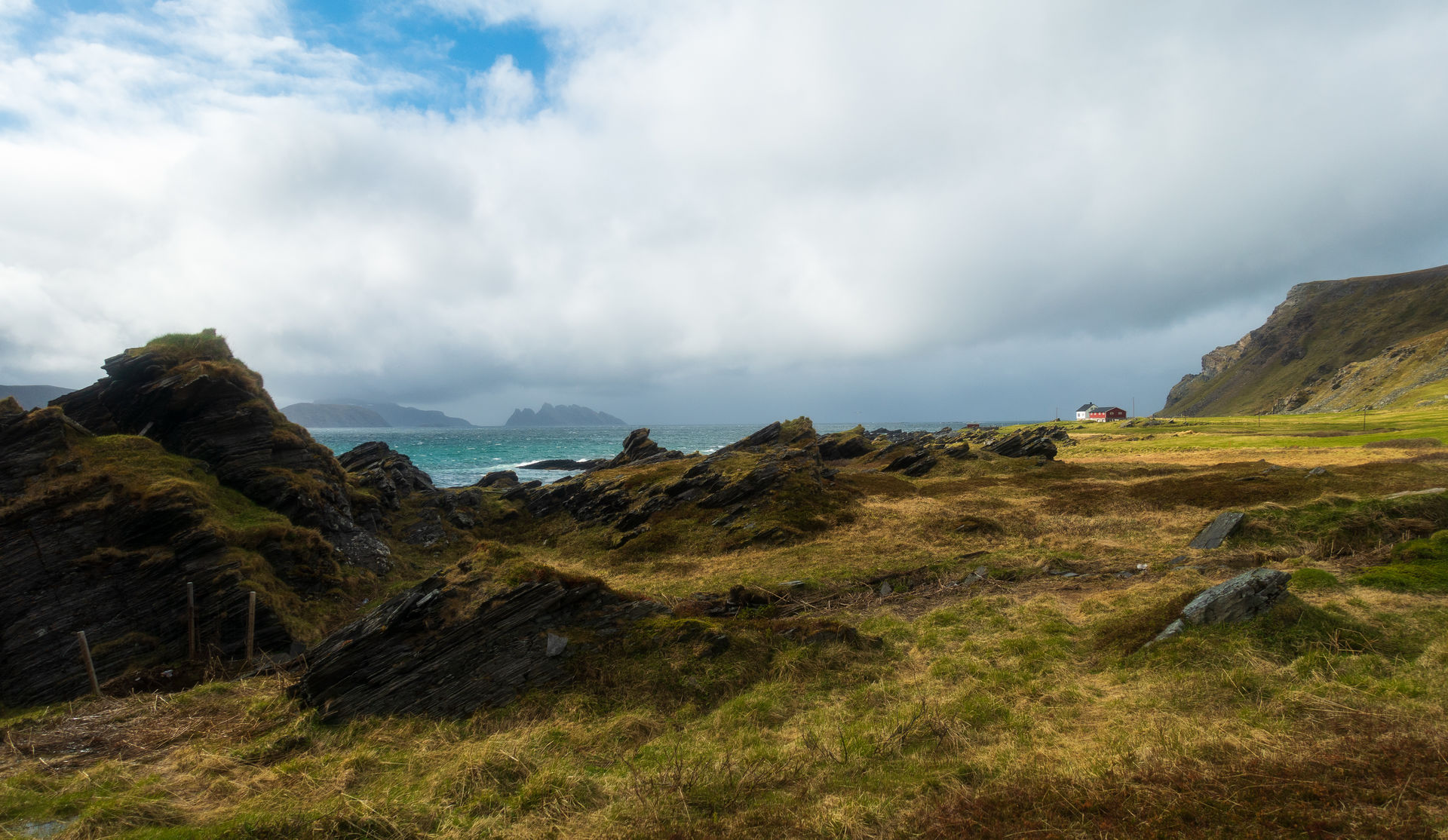
One of the nicest things to do in Hammerfest is taking the Bygderuta boat to the tiny places along Sørøysundet. People make their homes in sheltered places in this magnificent barren nature. The Bygderuta boat comes by once or twice a day. Akkarfjord is the largest spot, and here you can actually stay the day for a hike, and if it rains you can hide away in the small café and shop. Basic accommodations are also available.
Sennalandet is the mountain pass
From Skaidi, between Porsangerfjorden and the coast, and between Hammerfest and Honningsvåg, is a major crossroads. From here you drive south towards Alta again through varied open nature. In the middle of the plateau you will find Viddens Zion (“Zion of the Plateau”), the small chapel in Áisaroaivi surrounded by summer cabins for the Sami reindeer herders. Otherwise, there are cascading rivers, hills and high bushes in the valleys. Finally you reach the lush pine forest in the valleys of Alta. And you will understand why Alta is called Finnmark’s Italy in all its green lushness.
Accommodation is varied and quite easy to find
Accommodation is usually not a problem in the area. The chain hotels are located in Alta, Hammerfest, Honningsvåg, Karasjok and Kautokeino. They offer summer discounts depending on the chain, and often reduced prices outside the conference season. Smaller independent hotels can be found in Lakselv, Havøysund, Alta and Hammerfest. There are also simpler guest houses in several places, and the campsites usually have cabins with showers and toilets; the latter are often suitable for small groups of friends or family driving together.
Fly to Alta and start there
Some people actually drive the whole length of Norway. It’s actually a question of attitude, because while it’s a long drive there’s a lot to see along the way. However, our tour proposal starts in Alta, because this town of northern lights has a good airport with direct flights to and from Oslo. You can easily get discount tickets. You can rent a car and take the trip from there. There are very few buses going to Kautokeino and Karasjok, but doing the whole route by bus is a bit difficult. On the other hand, it is easy to take public transport from Alta to Hammerfest and Honningsvåg, as we have described in another tour proposal.
Practical about driving in Finnmark
The loop Alta-Kautokeino-Karasjok-North Cape-Alta with detours to Havøysund and Hammerfest totals 1045 km driving distance, according to Google maps. Driving time is estimated at 16 hours.
Honningsvåg has hotels, simpler guest houses and a camp site with huts. Skarsvåg and Sarnes are resorts on the island outside the main settlement of Honningsvåg. Read more on Visit Nordkapp. In a normal year, demand is high from mid June to the end of July, and less busy early and late in the summer season. In the corona summers of 2020-21, there were few guests. It’s difficult to estimate the number of visitors in 2022.
Hammerfest has several good hotels, and also guesthouses. There is also a campsite with huts. Several small lodges and guesthouses are found on beautiful locations in the Hammerfest area. Visit Hammerfest has all the details.
Alta has several good hotels, and also simpler guesthouses. There are also several campsites with huts. There are also guesthouses in rural areas around Alta. Visit Alta informs in detail on their website.
According to Time and Date, the sun shines at Midnight from the 13th of May to the 30th of July.
The quickest route, crossing into Sweden and Finland, is some 1963 km and takes 24 hours driving, according to google maps. If staying inside Norway, it it some 2100 km and takes about 30 hours. Many prefer a leisurely drive along the Norwegian roads, and then go quickly on the straighter roads in Sweden and Finland.