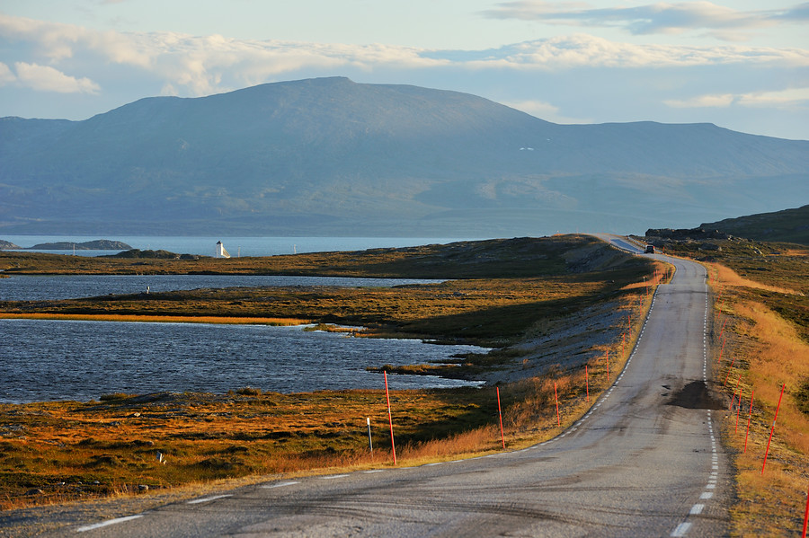
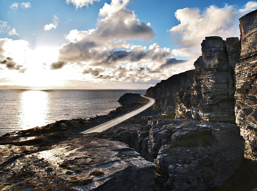
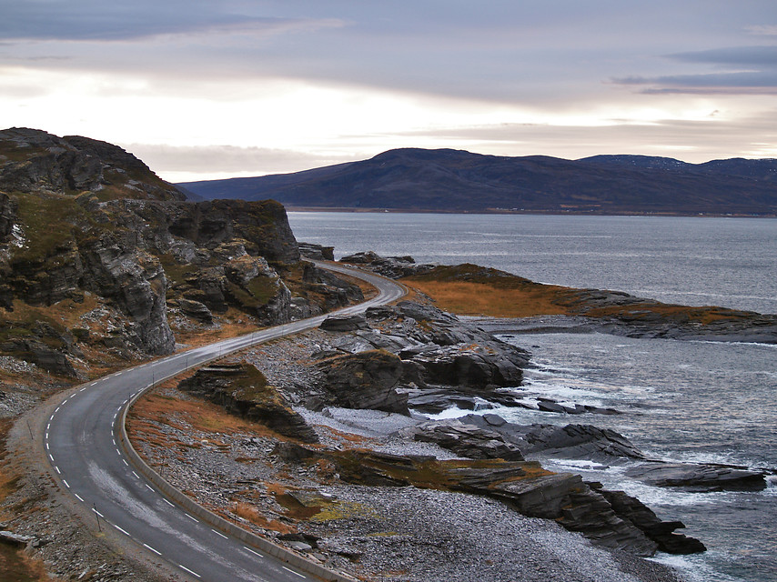
The 66km journey takes you from the small birch forests in Kokelv to the fishing village of Havøysund. Not that many tourists find their way to Havøysund, but this route is more about the journey than the goal. From Havøysund however, new opportunities are arising, such as visits to island communities that you can only get to by boat.
Hightlights along the Norwegian Scenic Route to Havøysund
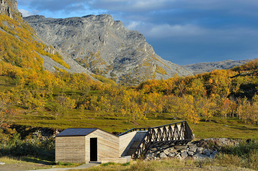
Storberget
Architectural rest area overlooking the Sami village of Kokelv
Lillefjord
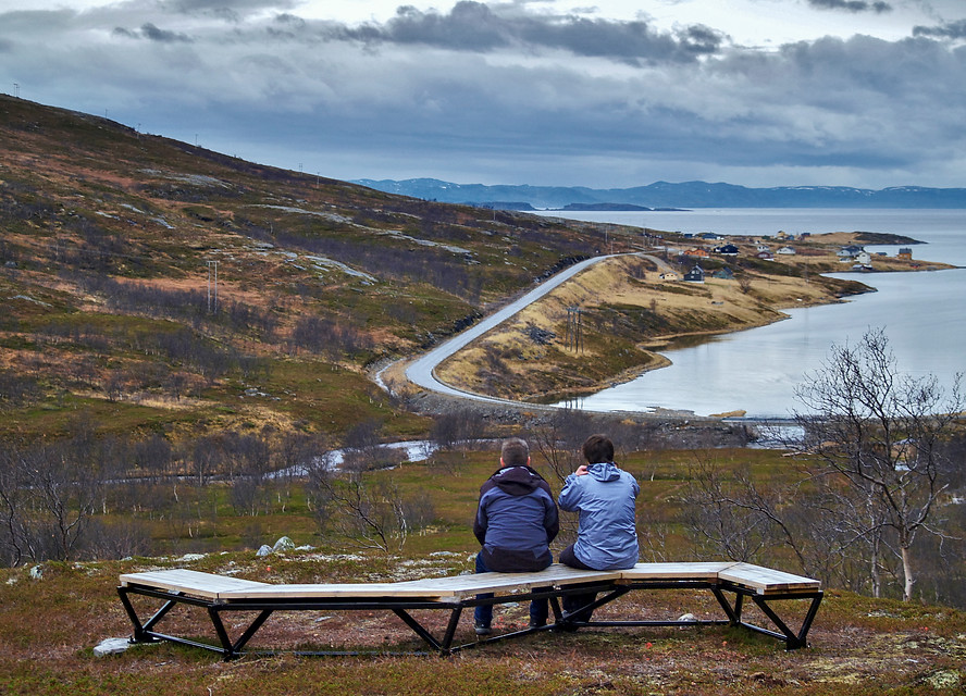
Rest area shaped in the shape of a bridge to the “love bench”
Snefjord
Box-like benches give shelter and allow you to see the view
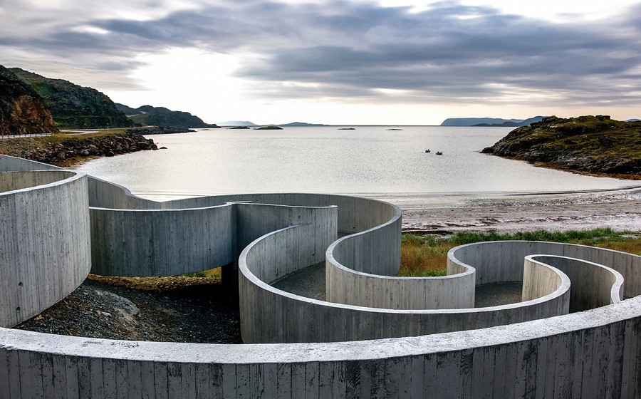
Selvika
Unusual resting area with a labyrinth-like access to the beach
Havøysund
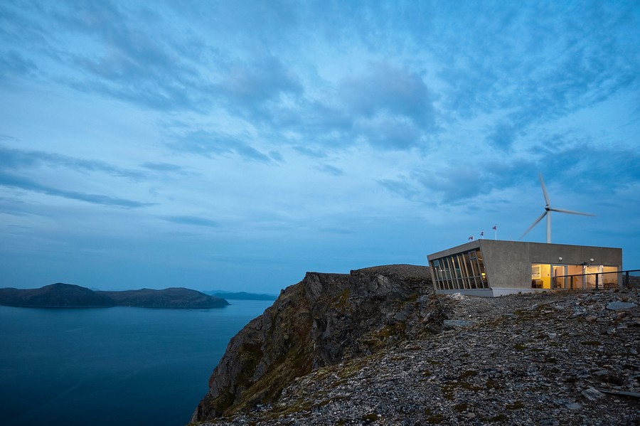
Fishing village with colourful reconstruction-era houses and the Arctic View viewpoint to the offshore islands and the horizon
Offshore islands
Local boats take you to Ingøy and the Fruholmen lighthouse, to Måsøy, Rolvsøy and Hjelmsøy
The route will take you from inland Kokelv through ancient terrain
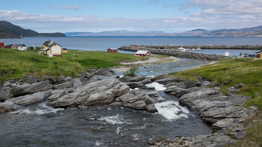
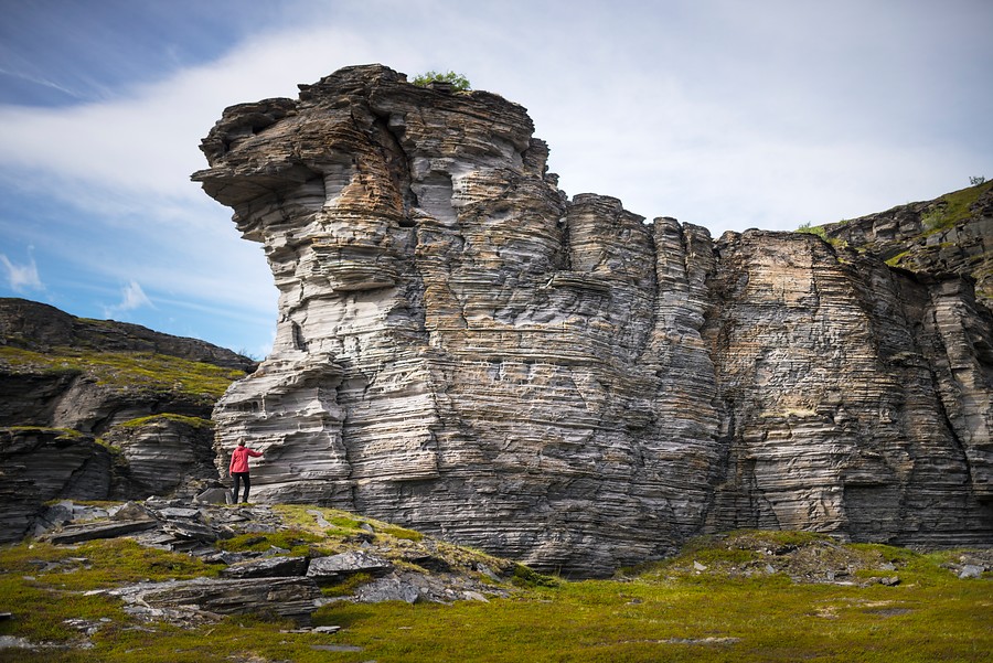
From the sea Sami village of Kokelv the route continues through Lillefjord and Snefjord. Vegetation shifts from the bright birch forests to the heather moors of the coastal areas. Here you can also read the geology like an open book, and see the old beaches raised up on the hillside due to changing sea level. On this section, traces of settlements date back 6000 years and in Selvika you can walk along a path with various historical sights to see.
Practical information about the Norwegian Scenic Route Havøysund
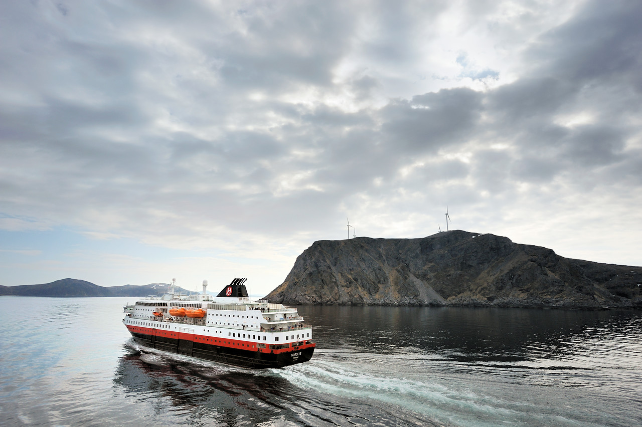
Kokelv is located right in the middle of the centres of Hammerfest, Lakselv and Honningsvåg, around 100km away from each. Therefore it really is off the beaten track, which makes it so appealing. For those following the E6 towards Nordkapp it’s quite a detour. Driving is the best way to explore this route, and in the summertime it’s not uncommon to see caravans dotted along the route as people take their holiday trip here. The Hurtigruten does stop in Havøysund and offers small tours along the route, however it will not leave you much time. You can’t fly to Havøysund or Kokelv, Lakselv is the nearest airport, but even then the journey to the start of the route is 88km. Many choose to drive the E6 route from Alta which has a bigger airport, rent a car and make the journey. On reaching Havøysund you can then take the Hurtigruten with car back to Alta. For more information including maps you can check out the Norwegian Scenic Routes webpage with more information on this route and others across the whole of Norway.
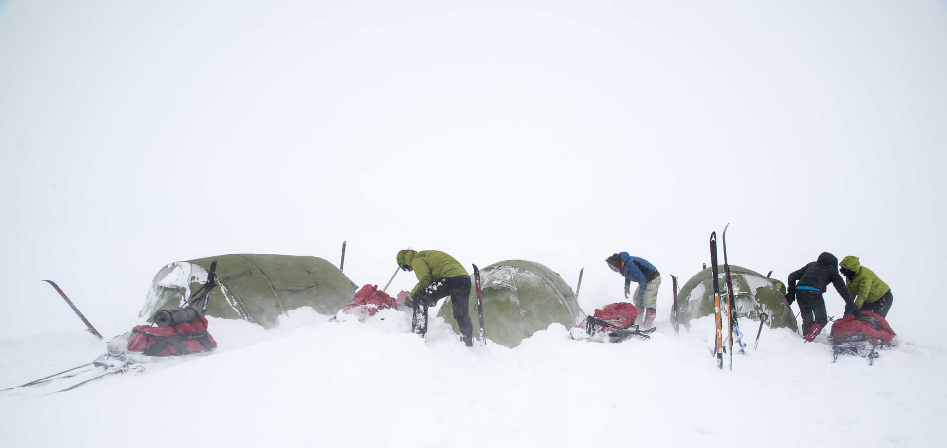
The best time to take the journey is during the Summer and autumn months. In winter the region can suffer stormy conditions that make all coastal routes dangerous. This is quite a remote route, so if you are not used to driving in icy conditions it’s best not to take the risk. However, if you find yourself in the area and the weather conditions are forecast clear for many days, it can be the perfect wilderness route to catch a glimpse of the Northern Lights and the famous blue hour of polar night.
Måsøy Kommune has a great page giving more information on the area on their webpage.
Unless the weather is horrible in winter, you should have few problems. The road is of an average standard, and the traffic is very limited. For an overview of things to remember, have a look at the website of the Norwegian Public Route Administration – Statens vegvesen.
Havøysund is a classic Finnmark fishing village
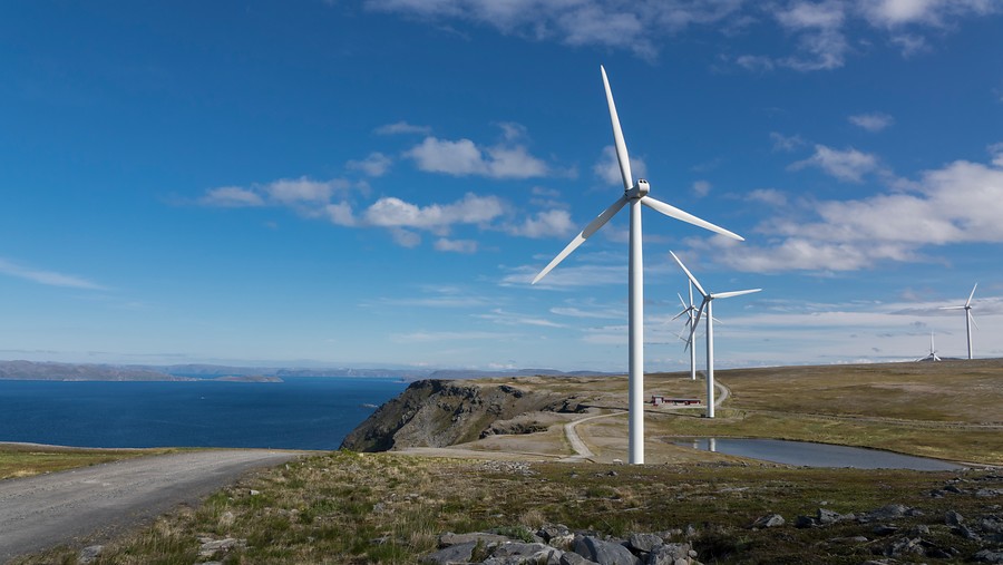
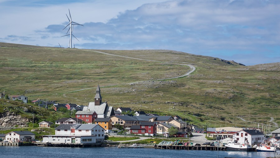
Havøysund is a small fishing village with around 1100 inhabitants. Much like other Finnmark fishing villages, Havøysund is densly packed onto the landscape and fishing, being the main industry, means fish exportation all over the World. Up on Gavlen, a few kilometres to the NW, 16 wind turbines stand tall producing electricity. From this viewpoint, you can look far along the Finnmark coastline east and west, then pay the Arctic view restaurant a visit with its incredible views over the ocean.

You can travel outwards to the neighbouring islands
Three island communities belong to Måsøy kommune, Ingøy island has a population of around 70 and Rolvsøya island 65. On Måsøya island, in the centre of the old village, only 40 people live. There is a boat route to the islands, but it can change from day to day, so it’s a good idea to plan your trip carefully. The islands have very little infrastructure, so you must be ready to be out in the elements most of your visit. One unique alternative is to spend a night in the tourist gammes (Traditional sami housing) on Måsøya. If you are really adventurous you could make your way all the out to Fruholmen Lighthouse on Ingøy island, however the view from the main island is usually enough of a view.