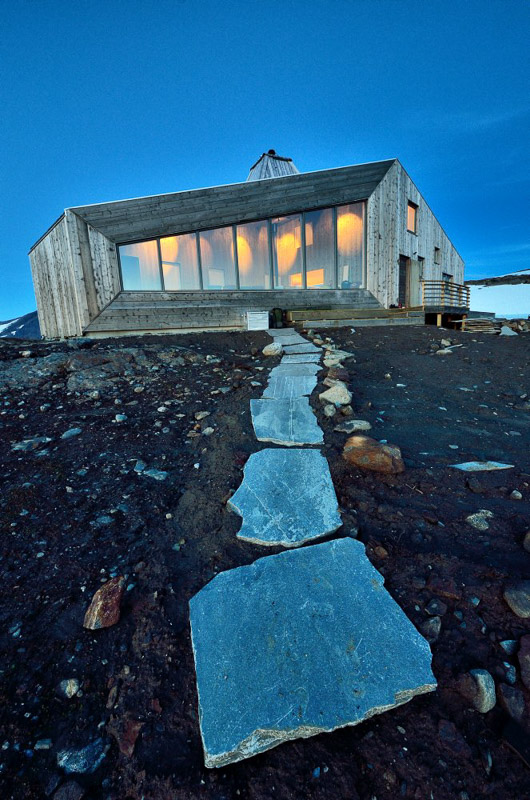
Okstindan is a wild and dramatic mountain area that contains Northern Norway’s highest summits, a landscape of glaciers and the coolest hikers’ cabin in the country. This is a place of summits, mountaineering expeditions and glacier trips for the slightly more experienced mountain hiker.
Okstindan is Northern Norway’s roof
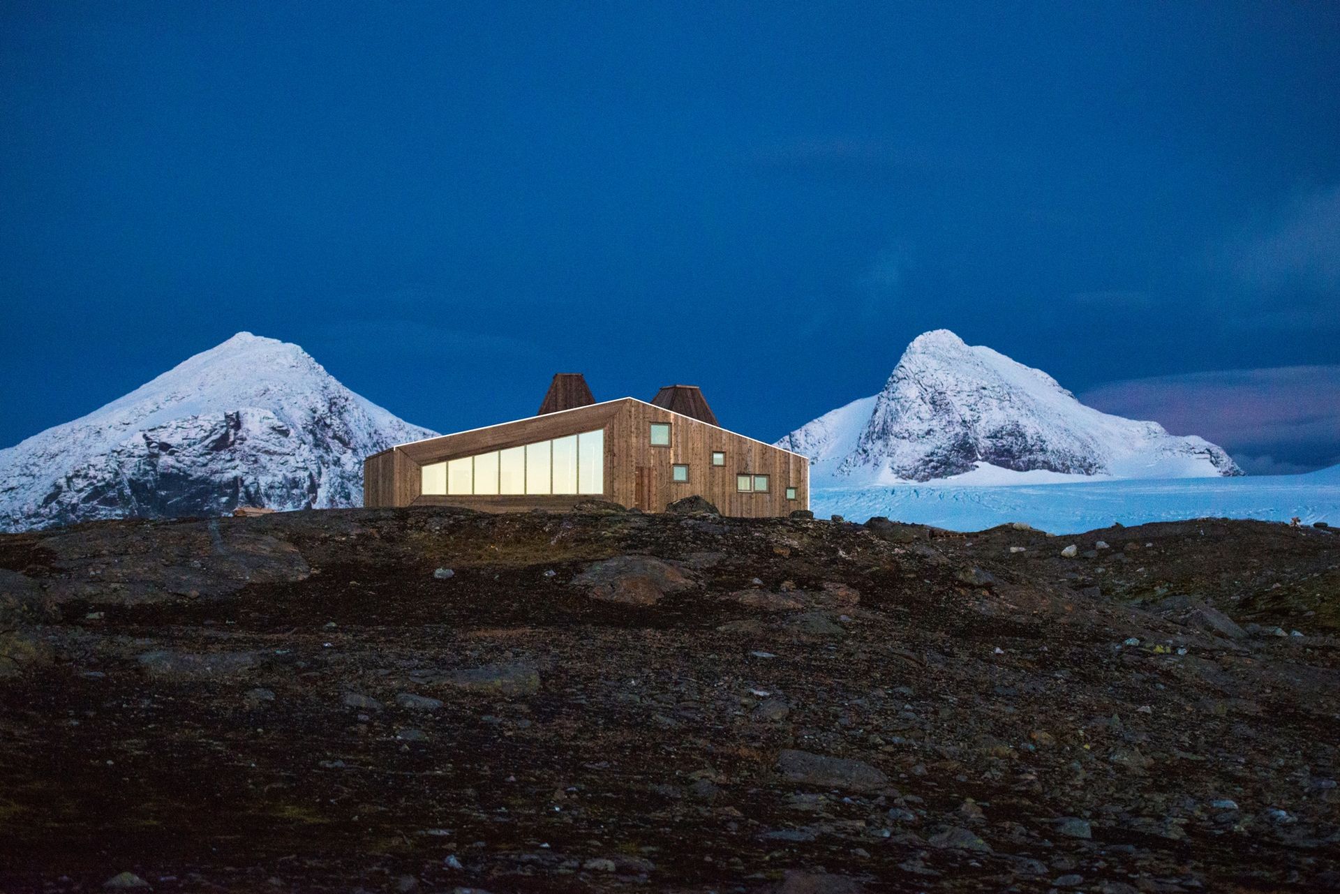
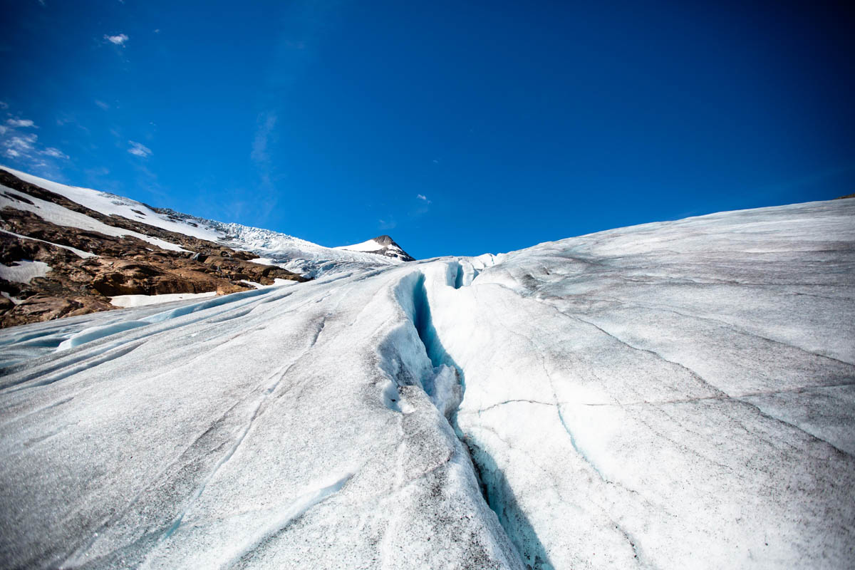
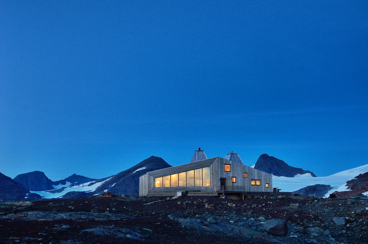
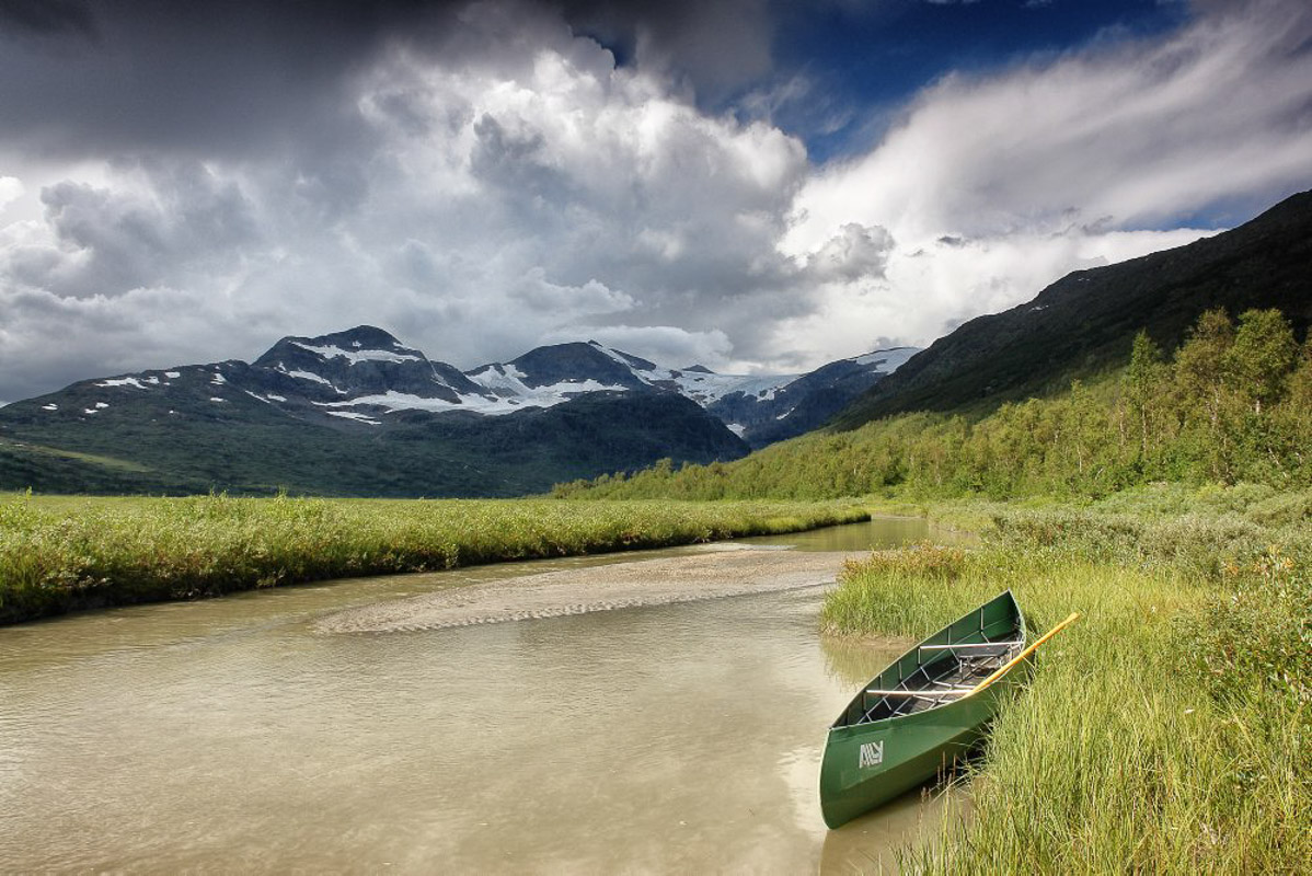
Okstindan, the roof of Northern Norway, offers some of the best mountain experiences in Norway. One of these is the highest mountain in Northern Norway, Oksskolten, at 1,196 metres (6,286 feet) high. Adventure-seekers who want an alpine feel to their trip can explore 11 peaks and numerous glaciers in a wild and dramatic mountain landscape. Mountaineering expeditions and glacier trips await the slightly more experienced mountain hiker. Other mountain hikers can enjoy hiking in the valleys that surround the Okstind massif, or climb to the coolest hikers’ cabin in Norway, Rabothytta, at the edge of the Vestisen glacier.
Eleven summits over 1500 metres form a chain
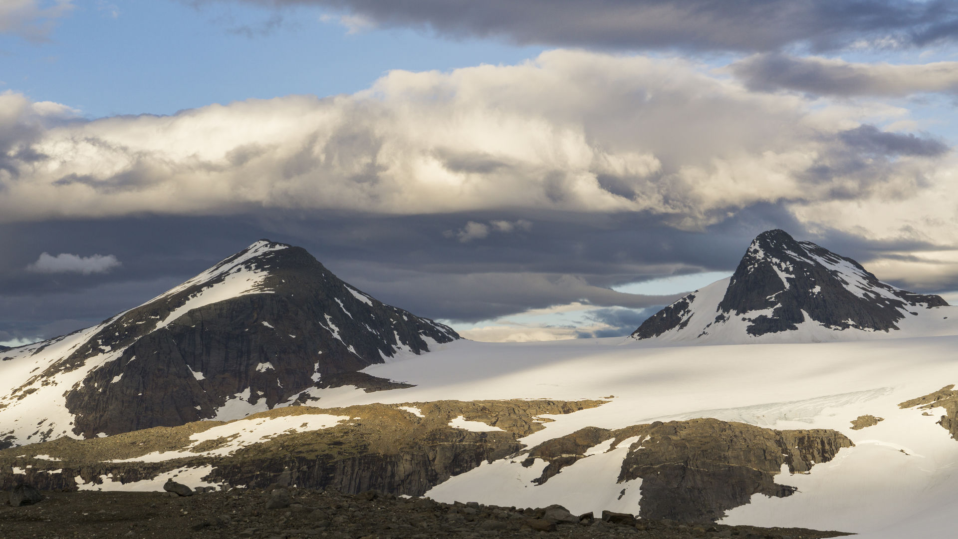
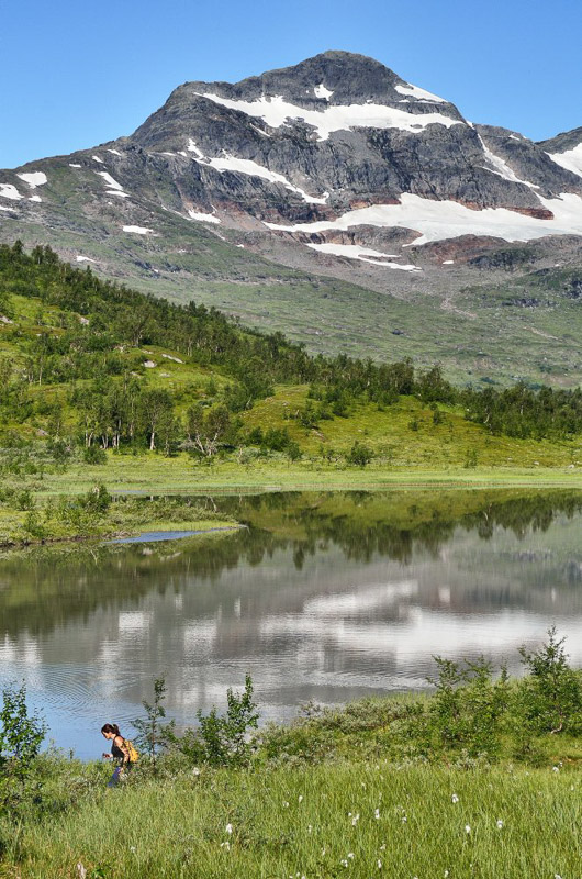
From a distance, the 11 sharp peaks that soar up from Norway’s eighth biggest glacier are easily distinguishable from the rounder and lower mountains around the Okstind massif. The highest is Oksskolten at 1,916 metres (6,286 feet) above sea level. The other ten peaks range from 1,901 metres (6,237 feet) to 1,562 metres (5,125 feet). Together, the peaks and glaciers form a mountain-lovers’ heaven, perfect for excursions into a wild and largely untouched landscape in Inner Helgeland.
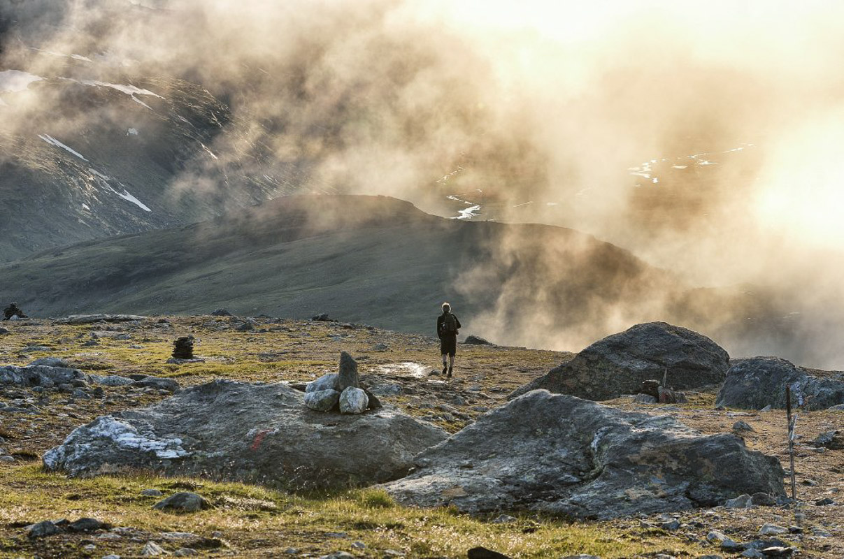
Okstind glacier survived even the warmest periods of recent history
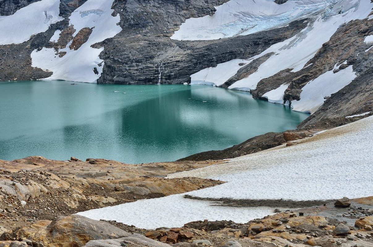
In the warm period that started 9,000 years ago, all the glaciers in Norway thawed, except Okstindbreen. Research indicates that Austisen, the eastern part of the Okstindbreen glacier, has survived every single period of warming. Whenever the climate has cooled slightly, the glacier has grown, but like most glaciers in Norway, it is now getting steadily smaller. Okstindbreen is a plateau glacier with arms that extend down into the valleys. As well as the main glacier, there are several others that are independent, such as Corneliusbreen and Charles Rabot. Indeed, you can see the result of the ice’s work all over the Okstind region.
The high mountain landscape attracts hikers
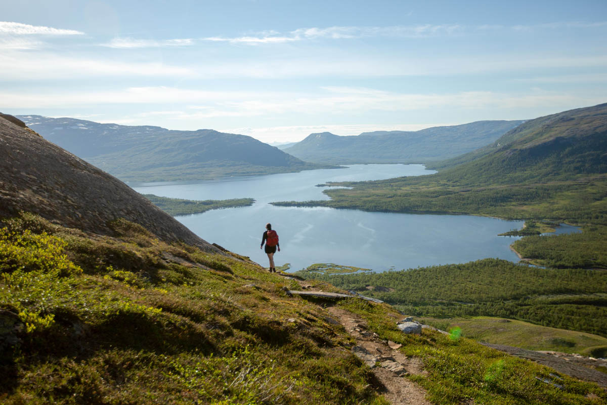
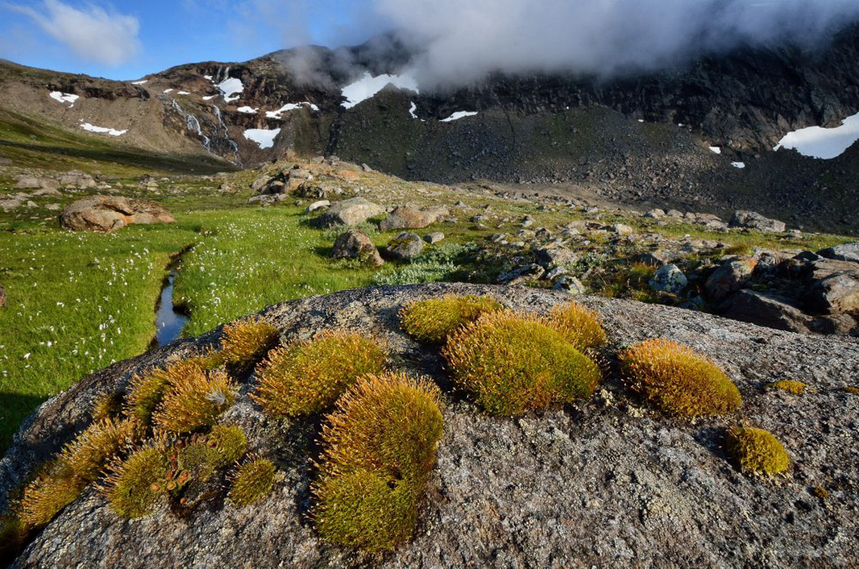
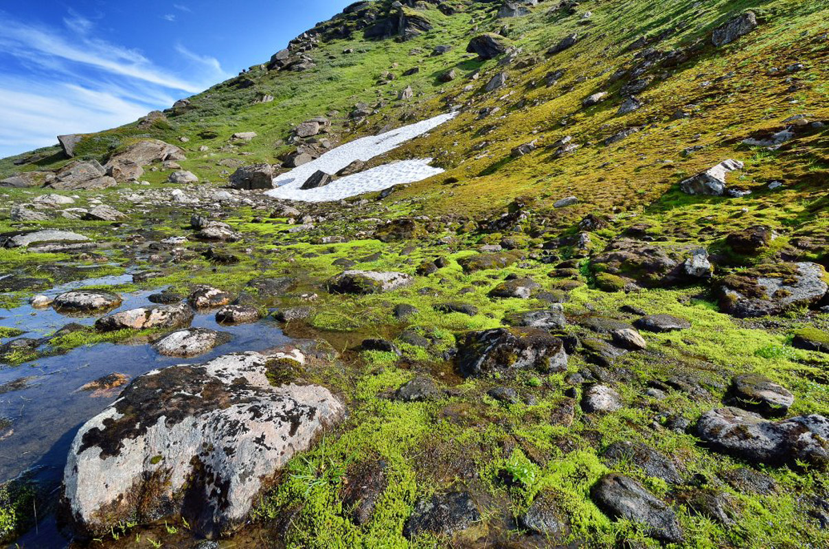
Okstindan is a high mountain landscape, part of which stands at over 1,000 metres (3,280 feet). Virtually the only vegetation is lichen, moss, low-growing herbs and heather. Birch forest grows in the valleys below the peaks and glaciers. You can follow T-marked paths, such as the trail from the Leirskar valley up to the Rabothytta cabin, which continues to the Kjensvasshytta cabin, and finally on to the Gressvasshytta cabin. A lower-level hike runs from Granheim near Nord-Røssvatn lake along the Spjeltfjelldal valley to Gressvatn lake. From Nord-Røssvatn, there is also a day hike up through the Steikvassdal and Bessedørdal valleys. The Bessedørdal valley contains several ancient Sami monuments, and the name could indicate that Okstindan was once a holy mountain for the Sami.
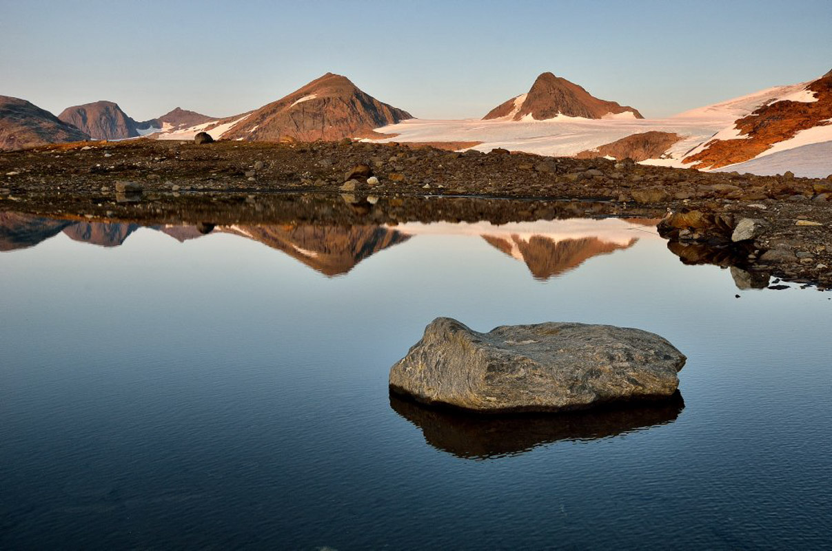
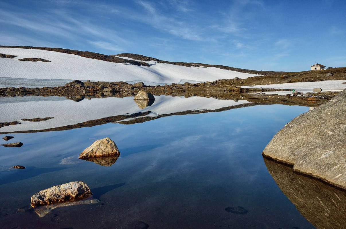
Oksskolten is the biggest hiking challenge, but you’re rewarded with the best views
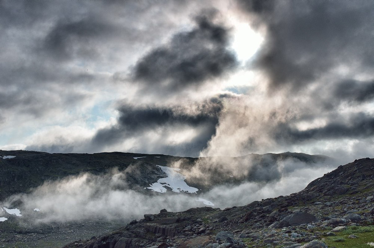
The 11 summits are probably the main attraction, with the 1,916-metre (6,286-feet) high Oksskolten forming the biggest challenge. All of the summits involve strenuous full-day excursions that require good physical fitness, crampons for crossing glacier arms and plenty of warm clothing. The weather at an altitude of 1,500 metres (4,900 feet) within the Arctic Circle can be extremely unpredictable, even in the middle of summer. If you follow the T-marked paths, you are always on safe ground. The reward at the top of Oksskolten is a panoramic view over the Okstindbreen glacier, as well as the other ten summits, all of the stunning Helgeland coast from Vega in the south to Lofotodden in the north, and Sweden’s Tärnafjällen.
Leirskardalen valley takes you 700 metres up
From the west, you can enter the Leirskardal valley from Korgen, where there is a road to Melkarhella that is kept open all year round. In the summer, the road continues as high as the 700 metre (2,300 feet) mark. From here, you can hike to the Rabothytta cabin and onwards over the Vestisen glacier, or continue over Leirbotnet to the Kjensvasshytta cabin.
Brygfjelldalen valley leads up to the cabins
From the Brygfjelldal valley, you can hike up to the Gråfjellhytta cabin and onwards to the Rabothytta cabin, or you can go via the Oksfjellelv river and Skardet to Nord-Røssvatn lake.
From Umbukta you access the northern end
From the north, a summer-only road runs from the E12 near Umbukta, south-east of Mo i Rana, to the Kjennsvasshytta cabin. Kjensvasshytta is in an idyllic location beside Kjensvatn lake, at an altitude of about 500 metres (1,600 feet), and offers the best viewpoint if you are hiking to Oksskolten or the Gressvasshytta cabin.
Several valleys access from the south
From the south, you can reach the peaks and glaciers via the Bessedørdal, Steivvassdal and Spjeltfjelldal valleys. You can also hike round Okstindan, from the Brygfjelldal valley to the Gråfjellhytta, Rabothytta, Kjennsvasshytta and Gressvasshytta cabins, finishing off with the Spjeltfjelldal valley and Stekvasselv river. You could also choose to spend two nights at the Kjennsvasshytta cabin and climb Oksskolten.
Staying overnight in Okstindan is a simple affair:
The Hemnes Trekking Association, which is part of the Norwegian Trekking Association (DNT), has four cabins in the region. All of the cabins are unstaffed, so you should take all the food you will need, and a sleeping bag for overnight stays. You will need a DNT key, which fits all its cabins. The Gråfjellhytta cabin is on the west of the Okstind massif. Kjennsvasshytta cabin is on the north side, Gressvasshytta cabin is on the north-east side, and the new, striking Rabothytta cabin is high up on the west side.
Steinbua cabin high up in the Leirskardal valley and a ‘køte‘ (Sami turf hut) in the Spjeltfjelldal valley are probably more suited for those of us happy with a bit less comfort. On the south side of the Okstind massif is Stekvasselv farm, which provides accommodation for around the same price as the Trekking Association’s cabins. In the village of Korgen on the west side, there are several accommodation alternatives, like Korgen Camping and Korgen Farm. On Korgfjell mountain, you can find food and accommodation at Korgfjellet Kro and Motel.
The towns of Mosjøen and Mo i Rana are an hour from Okstindan, the roof of Northern Norway. Both towns have airports, and rail connections to Bodø and Trondheim. You need access to a car, either your own, or a hire car or taxi, to reach the gateways, since bus connections are extremely limited. There are good parking facilities at the gateways.
Read More
- Hemnes Trekking Association has an informative website
- Rabothytta, the stylish new cabin in Okstindan, has its own website
- Hemnes municipality has plenty of excellent information on its website
- There is a website dedicated to history, culture and nature inOkstindan
- Helgeland Reiseliv has information about everything there is to do in the whole Helgeland region
- Stekvasselv Farm is a good starting point for the south side of Okstindan
- Korgen Camping is a good starting point for the west side
- Korgfjellet Kro and Motel has fantastic views of Okstindan