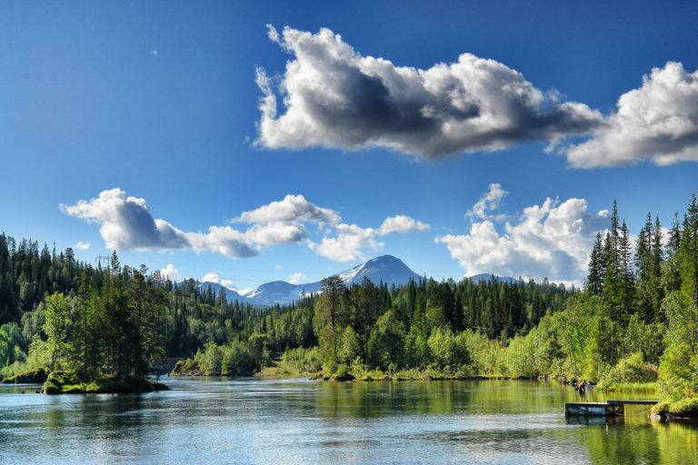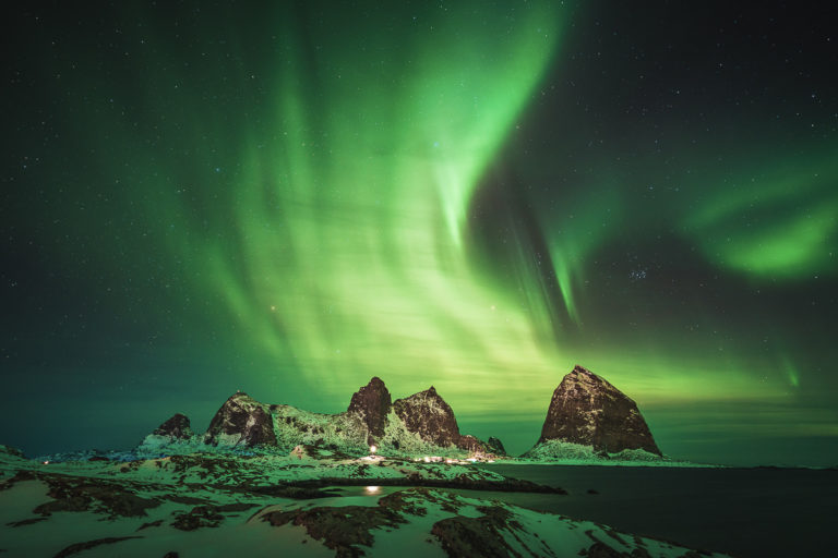
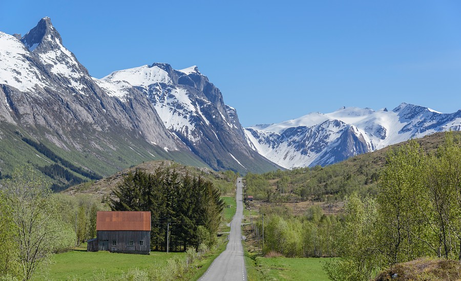
Former trolls like Torghatten, De Syv Søstre (the Seven Sisters) and Hestmannen have weighty parts to play in the legend of Nordland, the old tale of how the region’s mountains came about. A trip along the 650 kilometre-long Kystriksveien has so many stories to tell that it has become a famed national scenic route to drive or to cycle and one of the most important must-do recommendations in the Lonely Planet travel guide to Norway.
South Helgeland is a myriad of islands
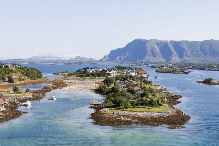
The coastal landscape of southern Helgeland features a myriad of islands, islets and skerries scoured by the waves protecting sheltered coves with lush vegetation and farming communities. One of the most remarkable sights along the entire coast is the hole in Mount Torghatten, which has an easy-walking trail going right through the mountain. At Tilrem you will find the charming Hildurs Urterarium, a herb farm and winery where you can eat and drink well and see everything that grows in the mild Helgeland climate.
The Helgelandskysten scenic route
Brønnøysund
Atmospheric coastal town and starting point for discovering the Vega archipelago
Forvik
Historic trading post with good food where the ferry leaves to historic Tjøtta
Alstahaug
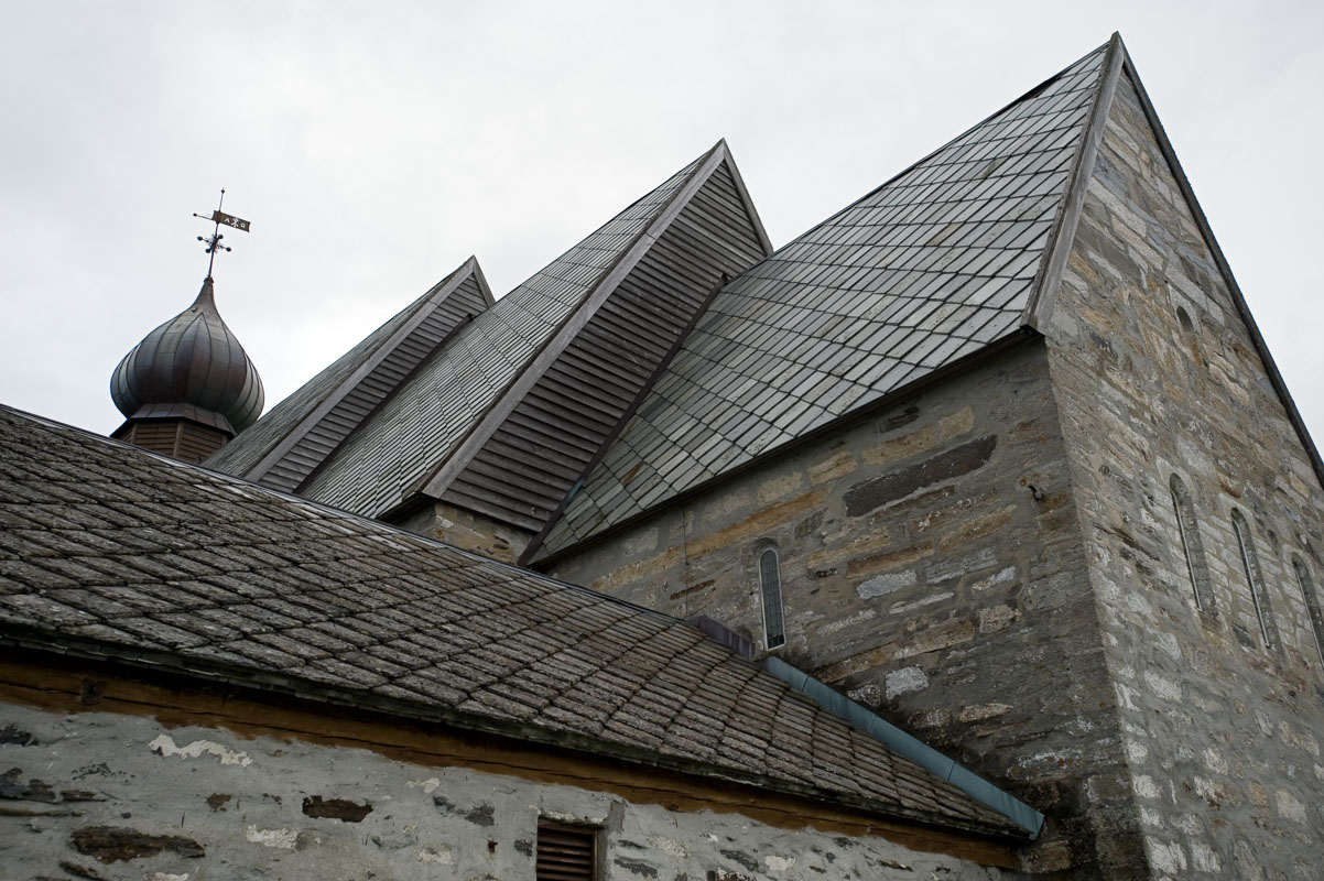
12th c. church, 18th c. vicarage and the Petter Dass interpretation centre. Easy access nearby to flat myriad of the Herøy islands
Sandnessjøen
Lovely coastal town under The seven sisters. Ferry to Dønna island with Northern Norway’s most beautiful church and a less impressive phallus
Nesna
Colourful village with easy access to Tomma Island with its lovely beaches
Stokkvågen
Ferry dock with connections to historic Lurøy, to the puffin island of Lovund and the three-peaked island of Træna
Kilboghamn-Jektvik
The longest ferry crossing, 2 hours, passing the Arctic Circle
Holandsfjorden
From the viewpoint Braset you see the Engenbreen glacier approach the fjord. You can also jump on a little boat and get much closer.
Glomfjord
A classic Norwegian industrial town based on hydro electric power with a war history and some early 20th c. architecture amid the wildest mountains
Ørnes
Lovely coastal settlement and boats to islands like Støtt and Meløy
Saltstraumen
One of the world’s strongest tidal currents giving four fantastic shows a day, amid the peaks of the Børvasstindan
Practical information on Helgeland
Helgeland is located in southernmost Northern Norway with the Arctic Circle cutting through it.
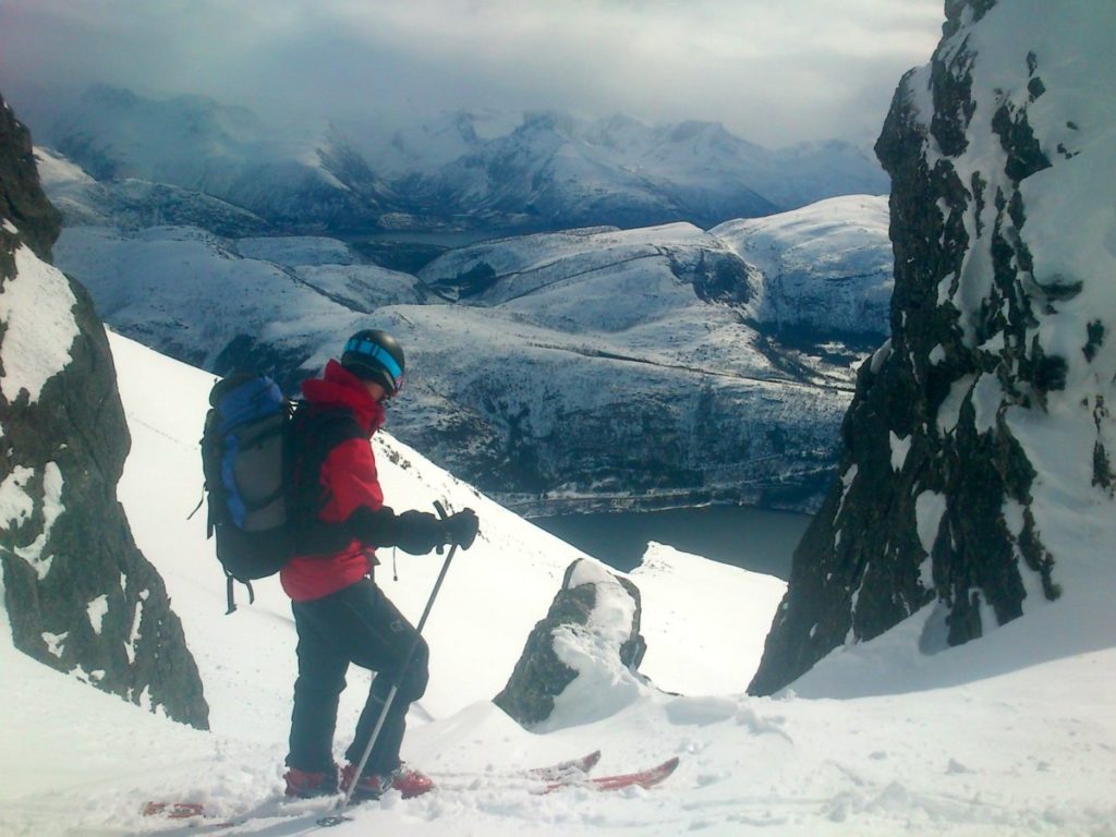
Helgeland is great to visit all year round, The classical time to go is summer and early autumn, when you can hike the mountains and see the mighty glaciers without this year’s snow.
Visit Helgeland is the tourist board for the region of Helgeland, encompassing most of the route. Their website really has it all. But as it happens, the northern reaches of the route go into the Salten region (…slightly different accent, identity, history…you get the point). So for whatever is north of the Ureddplassen stop, consult Visit Bodø’s website. Furthernmore, there is one website dedicated to the whole route per se, the Kystriksveien – the Coastal Route – which also includes areas in Central Norway. We recommend to browse through all three.
You can check the website of the Norwegian Public Roads Administration – Statens vegvesen – on their website, they list the most important things to remember for the international driver.
Vega is famous for its eider duck “farms”
From the pleasant little town of Brønnøysund, you can take a boat out to the Vega islands. The Vega Archipelago is inscribed on UNESCO’s World Heritage List owing to its unique, preserved coastal culture in which humans and eider ducks cohabitate to their mutual benefit. The people take good care of the ducks, and are rewarded with wonderful, warm eider-down. Similarly, the picturesque wooden boathouses, piers, wharfs and the typical long, narrow Nordland houses, live alongside one another in harmony with the landscape of islets, coves and sandy beaches.

Pass beneath the Seven Sisters
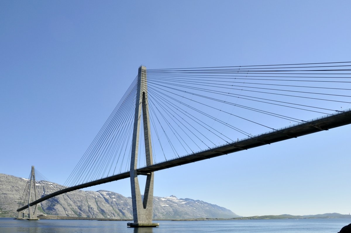
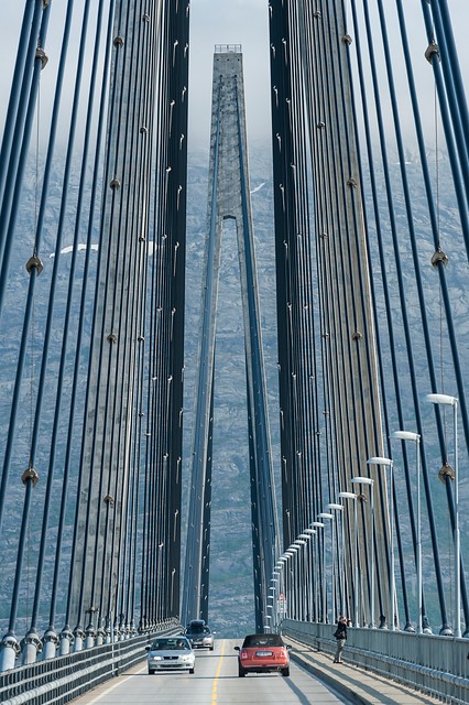
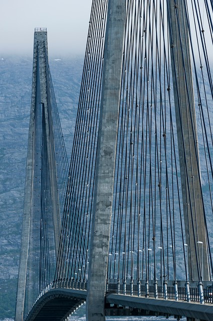
The route through central Helgeland passes beneath the Seven Sisters mountain chain, past the old island trading post of Tjøtta, mentioned in the Norse Sagas, on past the parsonage, medieval church and the Petter Dass Museum at Alstahaug, through the pleasant coastal town of Sandnessjøen, across the elegant Helgeland Bridge and into the pristine little town of Nesna, with its large marina. If you climb one of the Sisters, all this will lie at your feet!
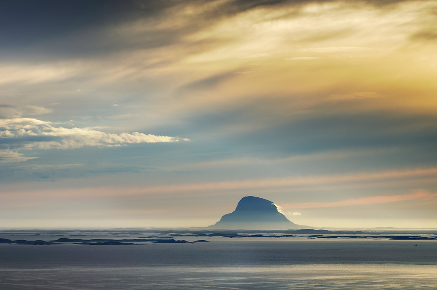
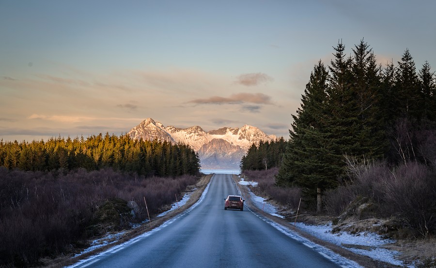
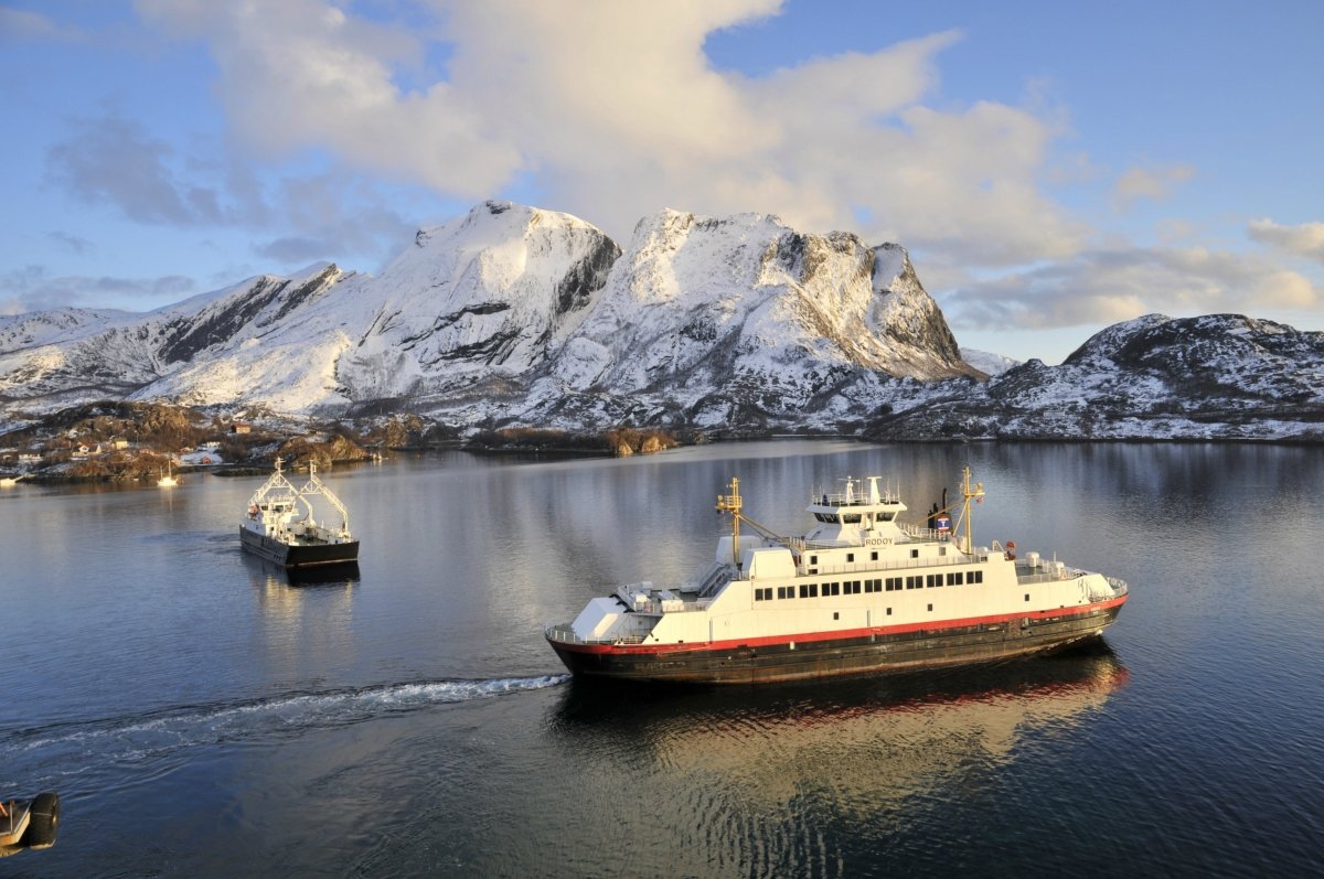
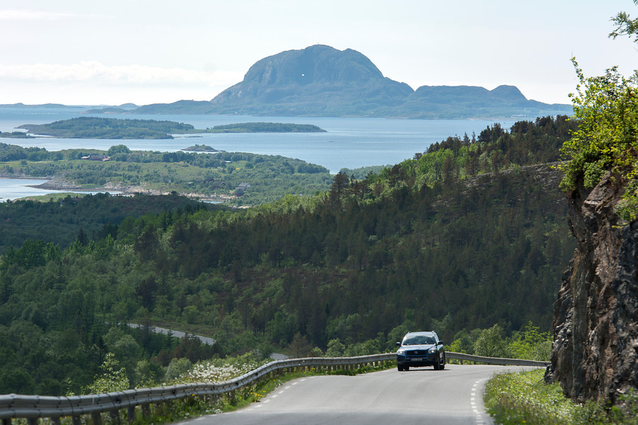
A ferry journey is obligatory in Helgeland
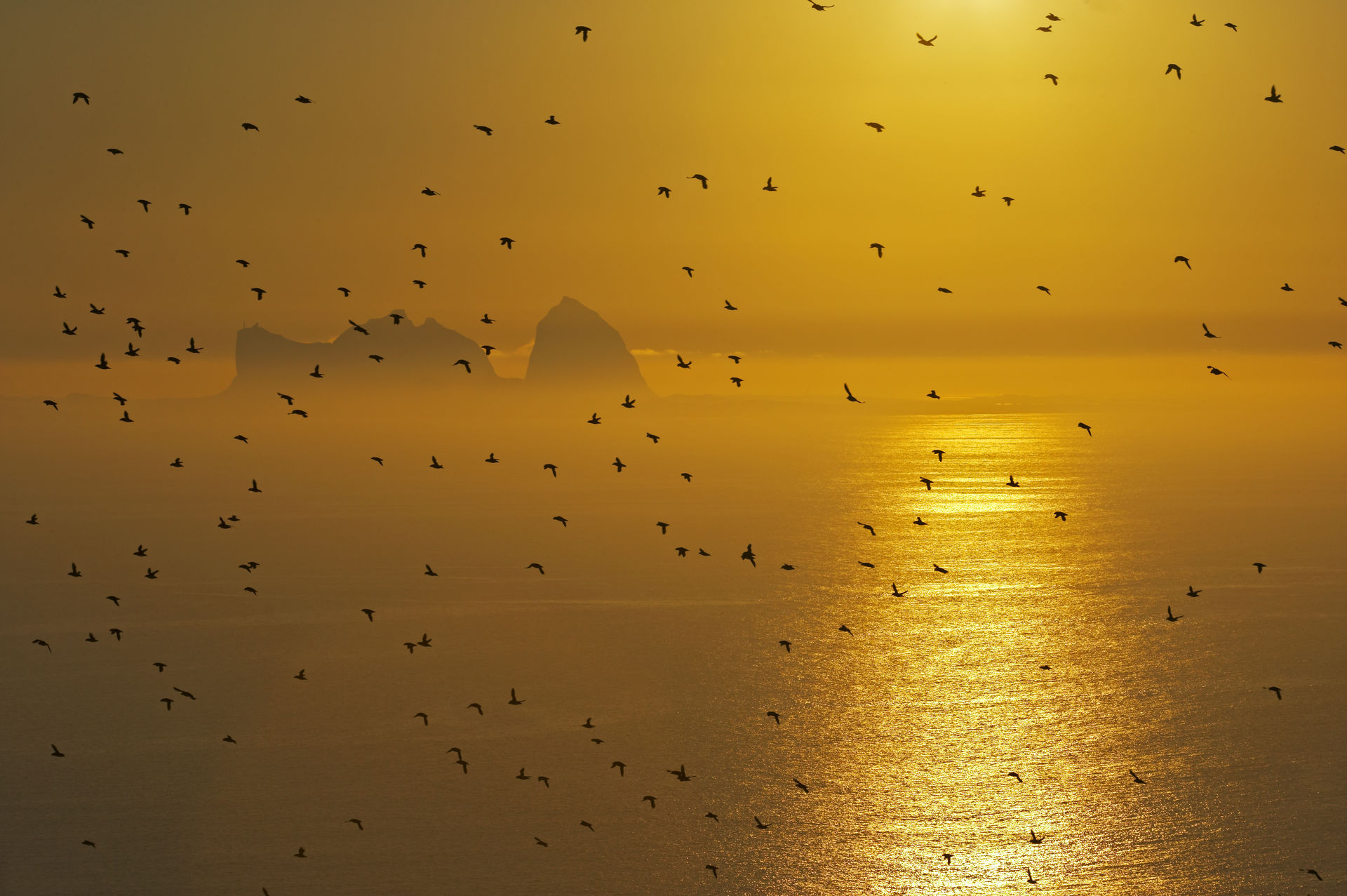
From the central Helgeland coast you can take your bike on board a ferry to one of the many islands. Sandy beaches, little island communities and ancient monuments are only a stone’s throw from one another. Dønna and Herøy, each with its own medieval church, have mostly narrow country roads, perfect for cycling, while Lovund has its puffin colonies. The triple-peaked island of Træna is a compact coastal community 60 kilometres out to sea.
Remeber to look up for Svartisen Glacier
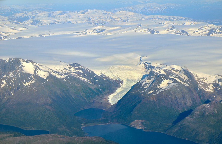
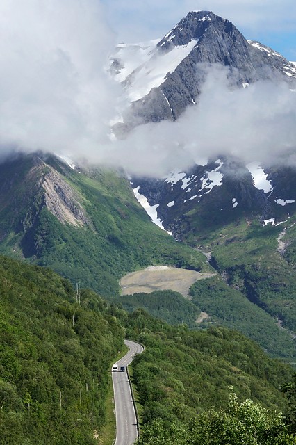
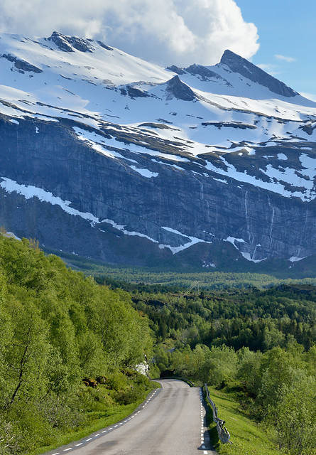
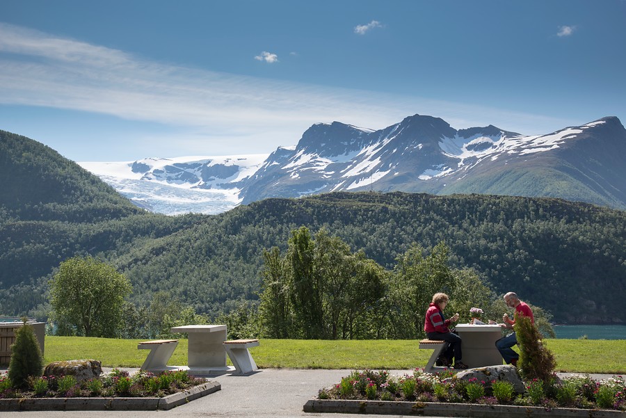
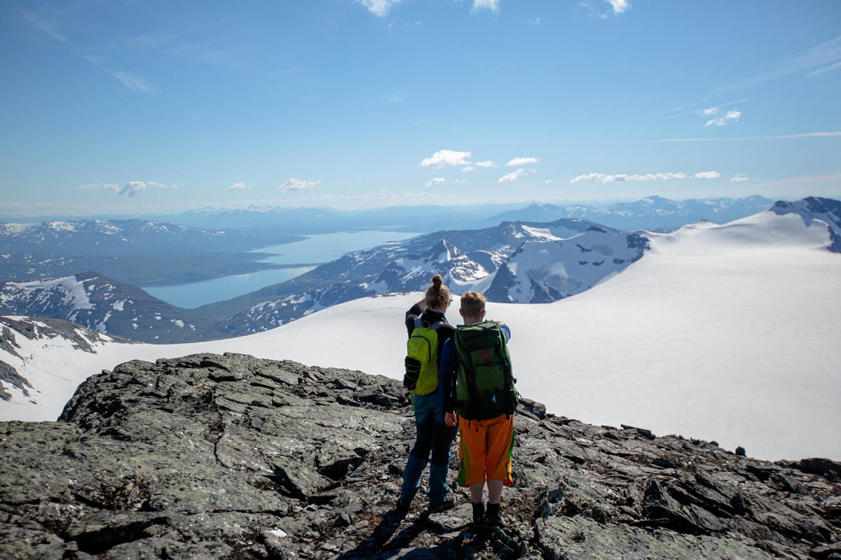
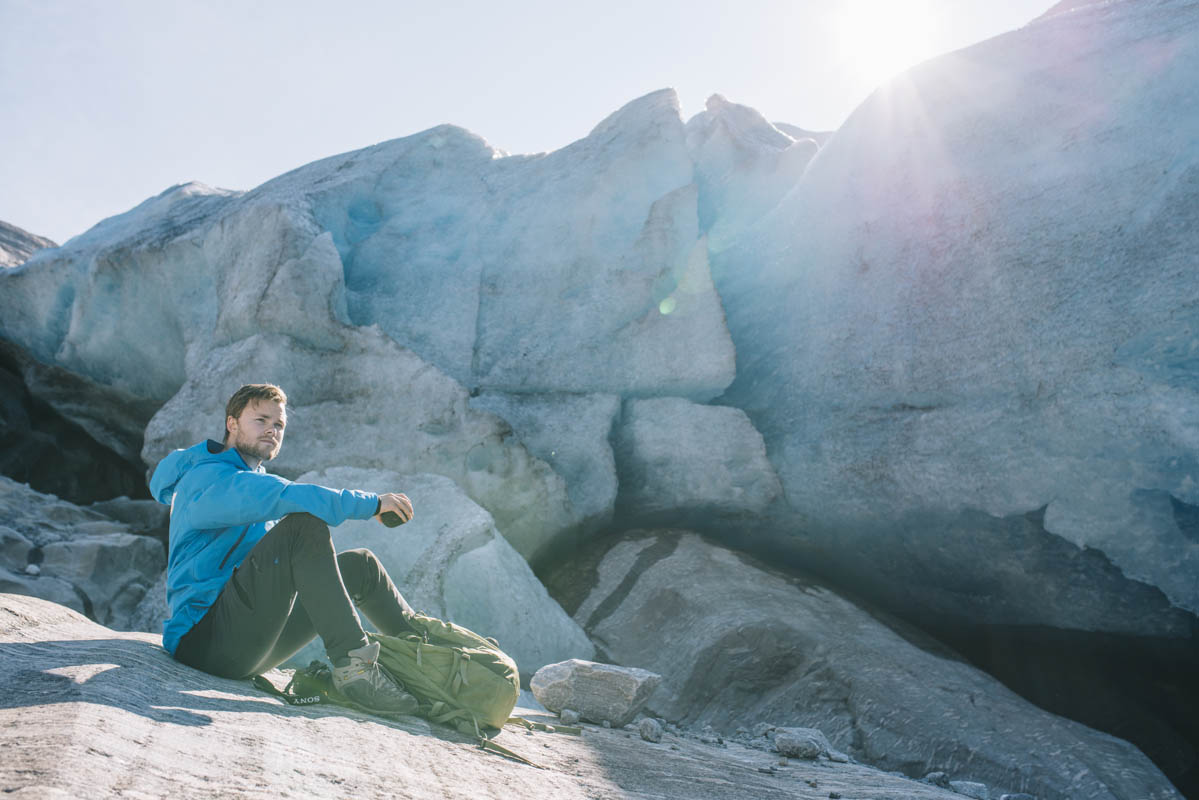
North along the Helgeland coast is where the great Saltfjellet mountain mass meets the sea, and the landscape takes on a wild and dramatic character. Norway’s second largest glacier, Svartisen, lies like a great dome between the peaks rising up to 1,454 metres (4,770 ft). In the Holandsfjord, the Engenbreen Glacier, an outlet glacier of Svartisen, stretches right down almost to the fjord edge. The drive past the industrial community of Glomfjord to the old trading post at Ørnes goes through long tunnels and in sweeping bends high above the fjords.
Sail by ferry around Hestmannen on the Arctic circle
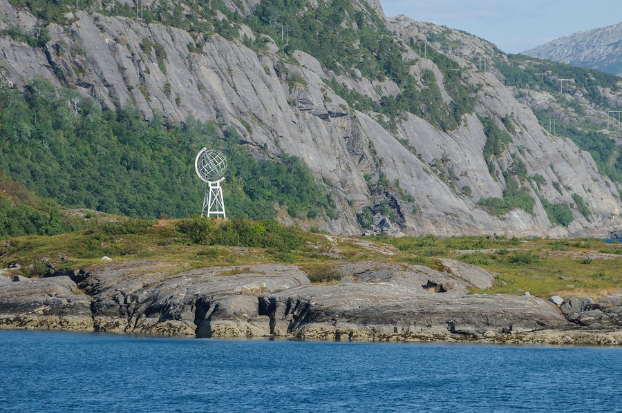
The old trading post at Selsøyvik, the Renaissance garden on Lurøy, Klokkergården (the old parish clerk’s house) on Rødøy and the miniscule community at Myken Fyr lighthouse all lie beneath the legendary 571 metre-high Hestmannen (“Horseman”) mountain and the mountain formation of Rødøyløva, which resembles a recumbent lion. The island realm in the north of Helgeland is well off the beaten track, but a close study of the ferry schedules can bring you out to some little known gems. From the Kilboghamn-Jektvik ferry be sure to look for the globe on the little island of Vikingen, which marks the Arctic Circle.
See one of the strongest tidal currents in the World
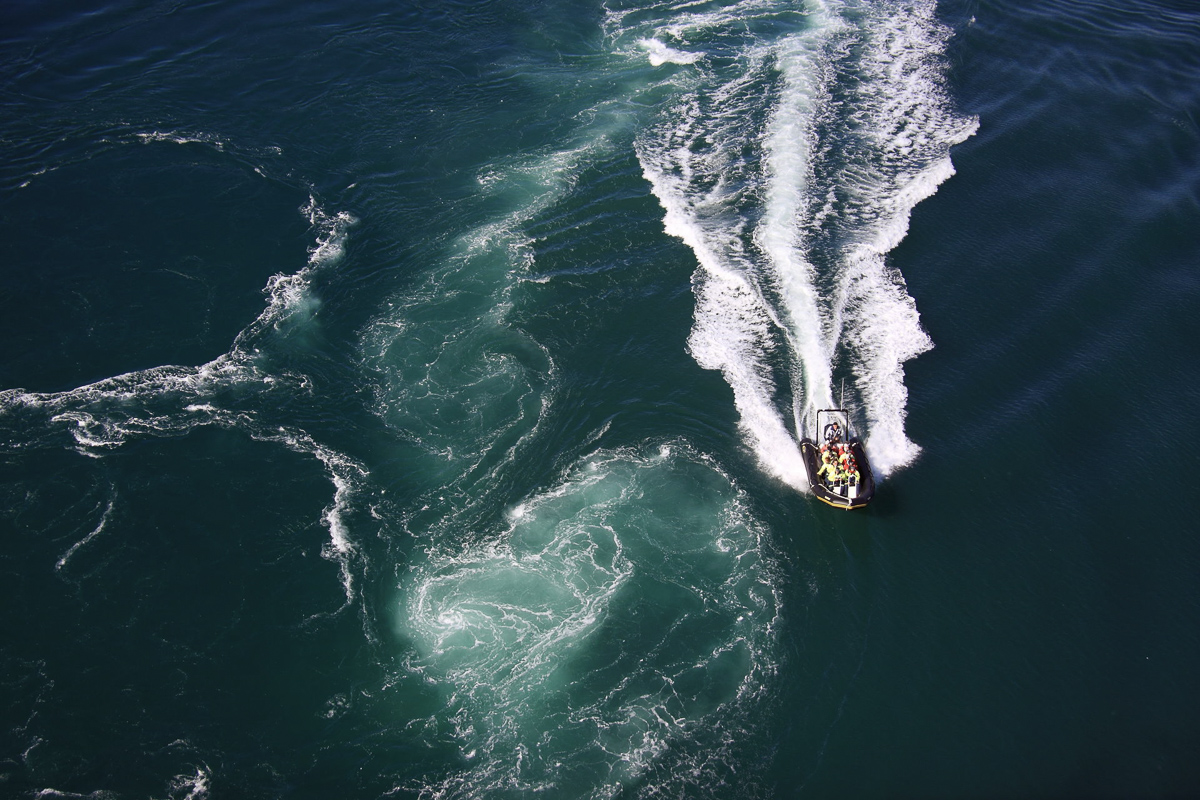
North of the mountain ranges the landscape becomes greener and gentler once more, with farming communities, forests and sea views all the way to the Lofoten Islands. The old church at Gildeskål, dating from 1130, is where the renowned hymn writer Elias Blix was baptised. Saltstraumen, the world’s strongest tidal current, gives four performances daily with its foaming maelstrom beneath the elegant Saltstraumen Bridge – and with that the coastal route journey ends with a festive fanfare, only 30 km from Bodø.
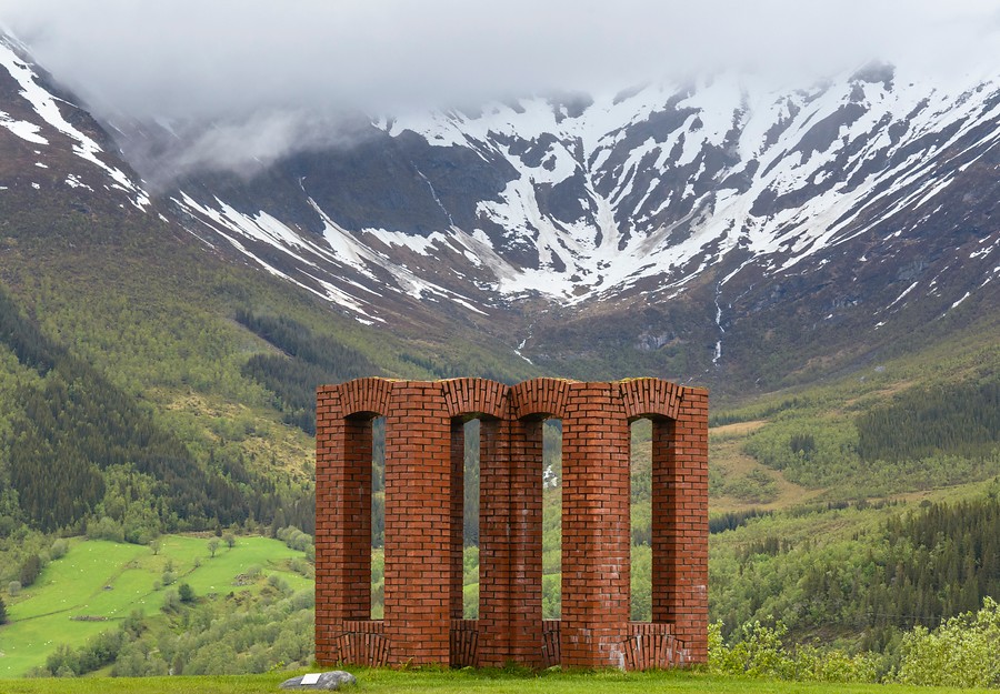
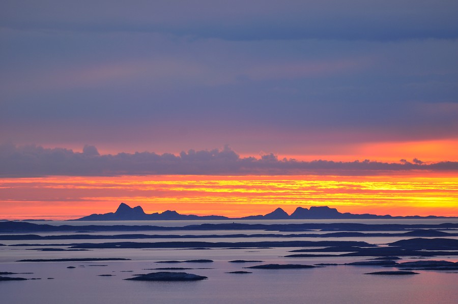
The ferry is the way to get around this region
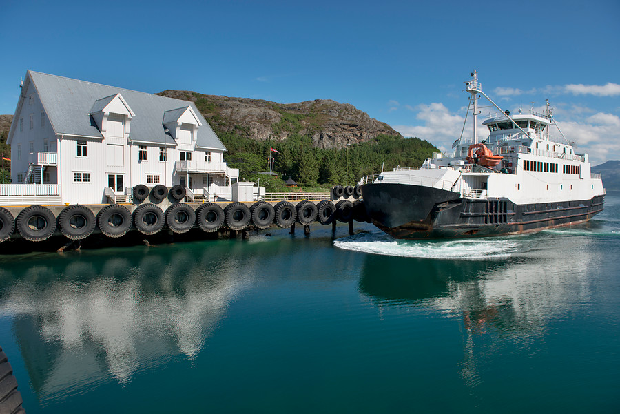
Kystriksveien has as many as six ferry crossings. These car and passenger ferries provide welcome breaks that allow the driver to enjoy the landscape. In the autumn, winter and spring, the ferries are seldom full, while there may be queues and waiting times in summer. It’s all an attitude of mind, however, and waiting times can be filled with everything from skimming stones to enjoying a meal at the ferry café – the best one is at the charming old trading post of Forvik.
Travelling along Kystriksveien unravels the cultural history
The coast of Helgeland is no remote wilderness; far from it – Helgeland is an ancient cultural landscape in which history and heritage abound, not to mention the good places to eat and the quirky and charming places to stay, all only a short bike ride apart. Kayak paddling, cycling and walking are easy elements to include in a holiday. Why not simply leave the car and take a boat out to one of the idyllic little islands?