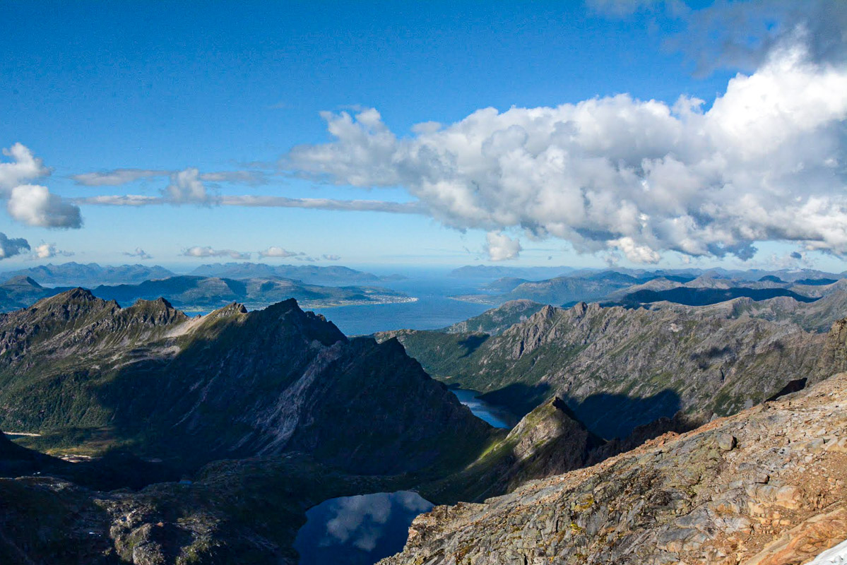
The Dronningruta connects Stø and Nyksund, on the seaboard side in the far north of Langøya, Norway’s third largest island. “The Queen’s Route” was named after Queen Sonja, who first visited the island in 1994 and fell in love with the place. The route itself, however, is much older, and in years past it was used by many people, including the midwife on Stø on her way to births in Nyksund. The route is now a well-marked hiking trail running along the ocean’s edge and actually consists of two routes: a 10 km (6 mile) high route with a total elevation gain of 900 m (2950 ft) and a 5 km (3 mile) low route, which mostly follows the coast. Together, they form a varied and incredibly beautiful round walk.
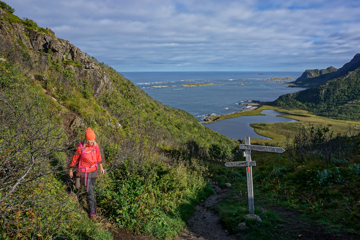
The high route is steep but steady
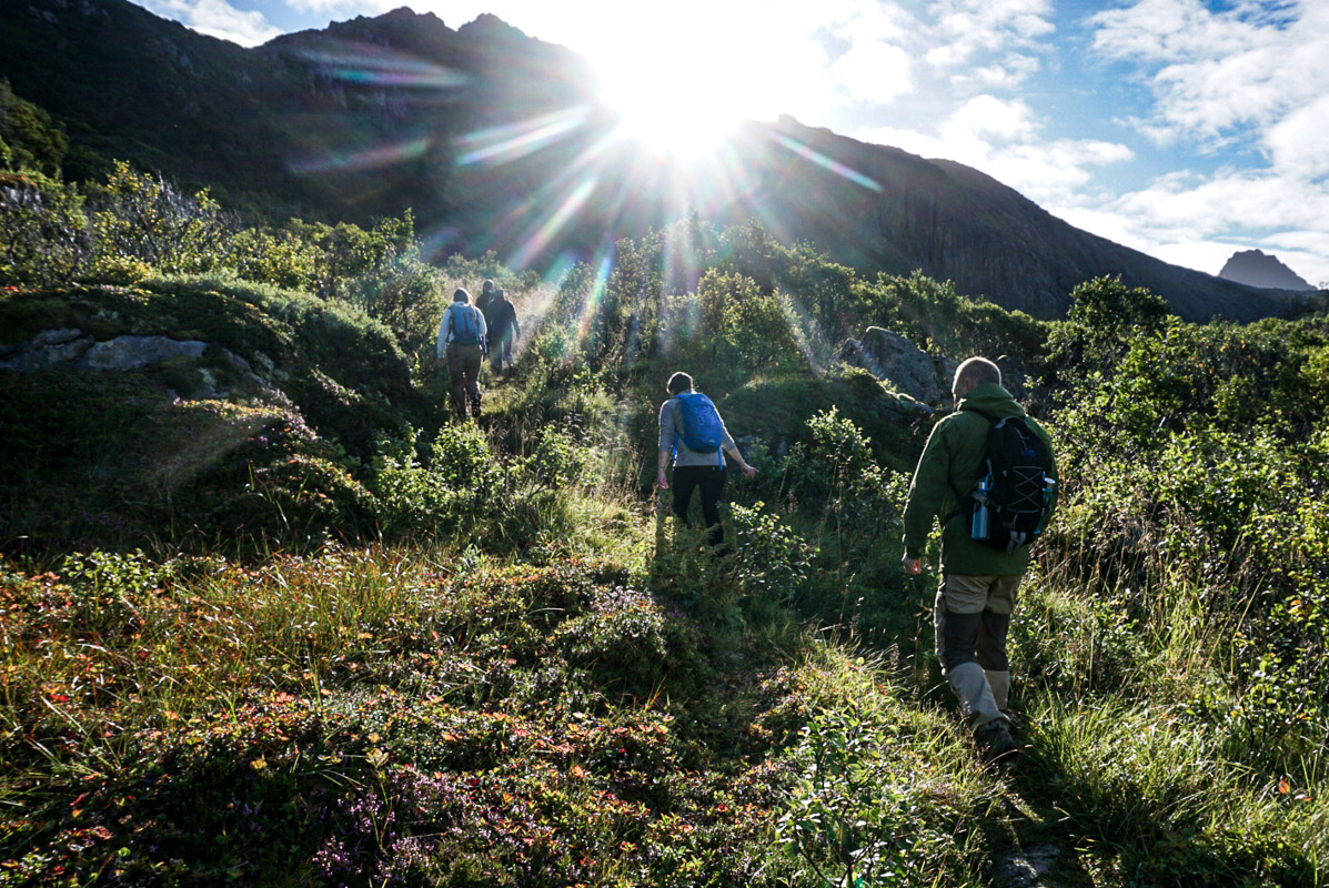
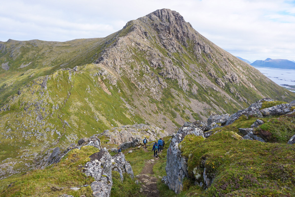
We approached the Dronningruta from Nyksund and therefore tackled the steepest climb right at the start. We followed a well-used path steadily upwards as the views became ever more extensive, first down towards Nyksund and Skogsøya in the west, and then along the northern coast of Langøya. We were able to see down to a wide, open and deserted valley with lagoons and a beautiful sandy beach. Offshore, we could see waves crashing against islands. In the north lay the open sea. In between, we had to climb a little, too. After reaching a height of 450 m (1470 ft), we walked through varied terrain which, although a little rocky in places, featured lots of moss and heather. In between, we walked beneath rocky outcrops on steep hillsides, which may appear somewhat scary. Fortunately, the steepest sections were equipped with ropes. We walked steadily downhill, after which the path began to rise again.
The Effort is Rewarded with far reaching views
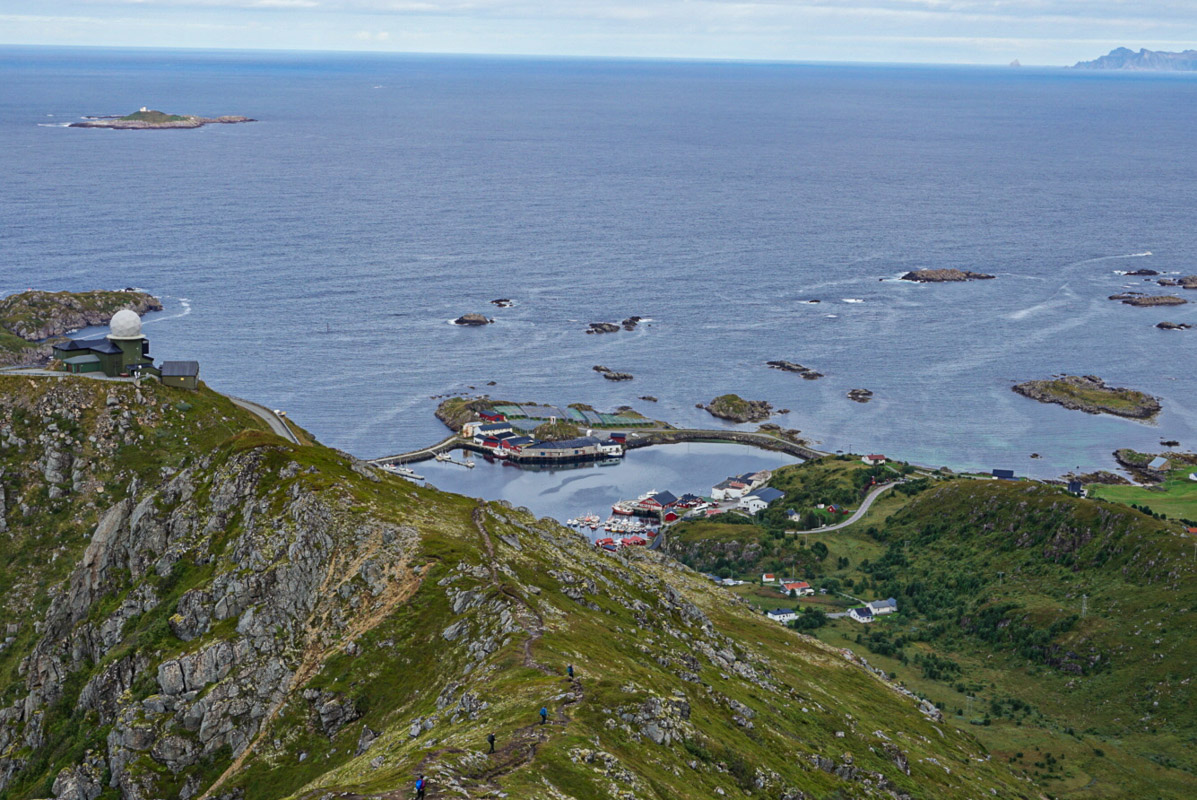
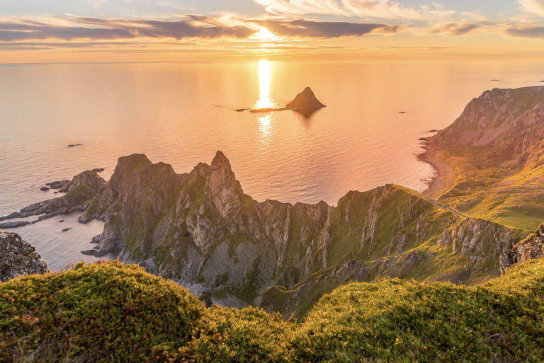
Near the end of the route, Andøya appeared on the right-hand side, and we were able to see down to the eastern coast of Langøya. Suddenly, the view opened out towards the fishing village of Stø with its breakwater protecting the harbour, the lighthouse on the island of Anda far out to sea and all the tiny islands, surrounded by white horses. The climb down was steep but the ground was soft and forgiving. We ended up at Stø Bobilcamp, where we had elk stew in the delightful little café.
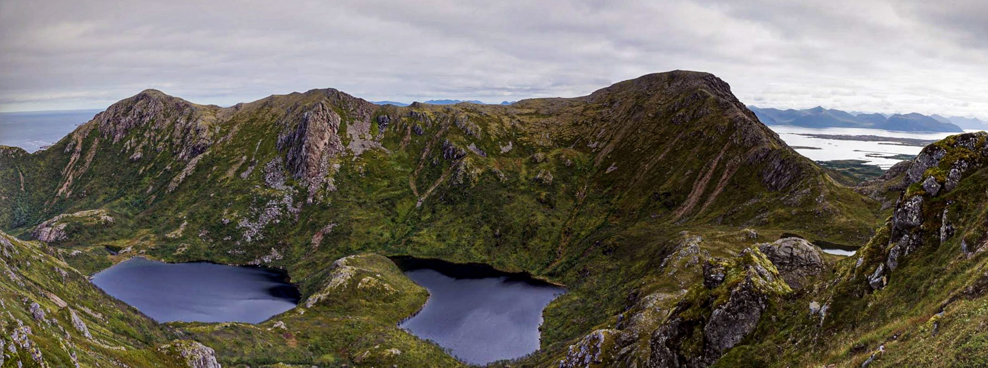
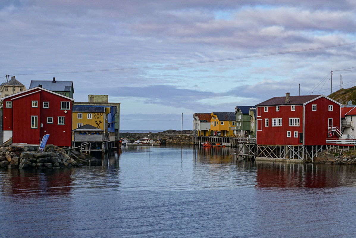
The low route follows the shoreline
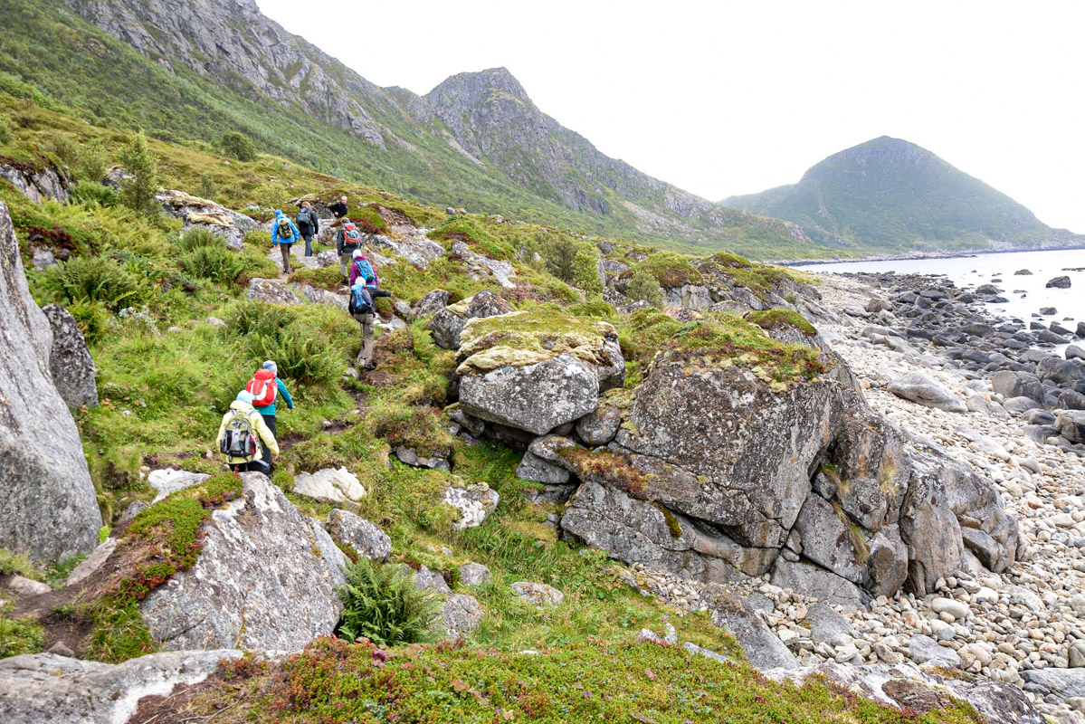
The route along the shore is just 5 km (3 miles) long. Along the walk, you will encounter superb sandy beaches, moss-covered terrain and some bog. Halfway through the walk, we came across a small building where we rested and gazed out to sea, seeing all the way from Stø to Nyksund. We then walked along a low moraine ridge damming two lagoons where Whooper swans and other water birds were swimming. Towards the end of the walk, the path headed steeply uphill, which necessitated a little scrambling, followed by a steep downward slope with some scree towards Nyksund.
Is the Dronningruta suitable for you?
Dronningruta (sometimes translated into English as The Queen’s Route) is 15 km (9 miles) long and the total elevation gain along the route is 900 m (2950 ft), even though the highest point is only around 450 m (1500 ft) above sea level. The terrain is generally fairly easy-going because the ground is covered with heather and moss. In places you will have to ascend or descend steeply. There are fixed ropes in places but the route is never very exposed. There are also some short stretches of scree. In other words, the trail passes through a very varied landscape. Fit hill-walkers will manage the entire walk in 5 hours, but those of a more relaxed disposition should expect to take around 5-6 hours on the high route and 2-3 hours on the route along the shore. The round trip is therefore a pleasant and comfortable day trip.
It can take the whole day depending on which route you take
We took the high route from Nyksund to Stø, had lunch at Bobilcampen in Stø, and then walked back along the shore to avoid the downhill section to Nyksund, which some walkers might find less agreeable. However, most people will not experience any problems on either of the routes. Nyksund has a handful of places where you can eat lunch, while Stø has one good place. Early and late in the season, places might be closed, so do bring some extra food in your backpack. Both Stø and Nyksund are beautiful villages where you can take a pleasant lunch break and have a wander round. If you opt to go one way only, you can arrange a return trip by RIB. Small groups are recommended to hire a guide.