
You might think that walking on Europe’s most northerly mainland would be an extreme experience. However, the Finnmark landscape is measured and undulating, the heather cover is pleasant to walk on, the trail marking is excellent and the breeze keeps the midges away; in other words, this is a trip for all ages and abilities.
The landscape is of a typical fjord coastline
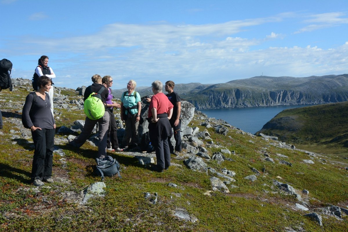
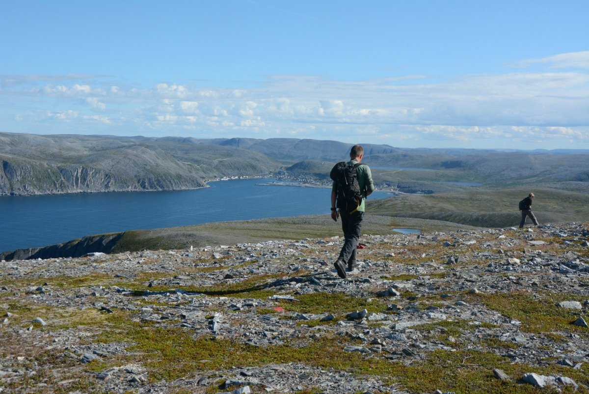
The trail passes through typical landscape for the Finnmark coast: precipitous slopes plunging towards the sea and pleasantly undulating terrain on top. Along the southern side of Kjøllefjord, you stay consistently at around 2–300 metres (650–1000 ft.) above sea level, looking down on the surface of the water and the sandstone and slate layers on the other side of the fjord. The fishing village of Kjøllefjord disappears into the distance as you head further out.
Practical information on taking the hike to Finnkirka
Kjøllefjord is located on the north western side of the Nordkyn peninsula in Finnmark. The easiest option would be to fly to Mehamn with Wideroe from any of the main airports in Northern Norway (Tromsø, Alta, Lakselv etc). You can also arrive by the hurtigruten boat which stops in Mehamn where there is a hotel. From Mehamn you can rent a car and take the journey to Kjøllefjord and start your hike. Kjøllefjord also has its own hotel where you can rest before or after the hike!
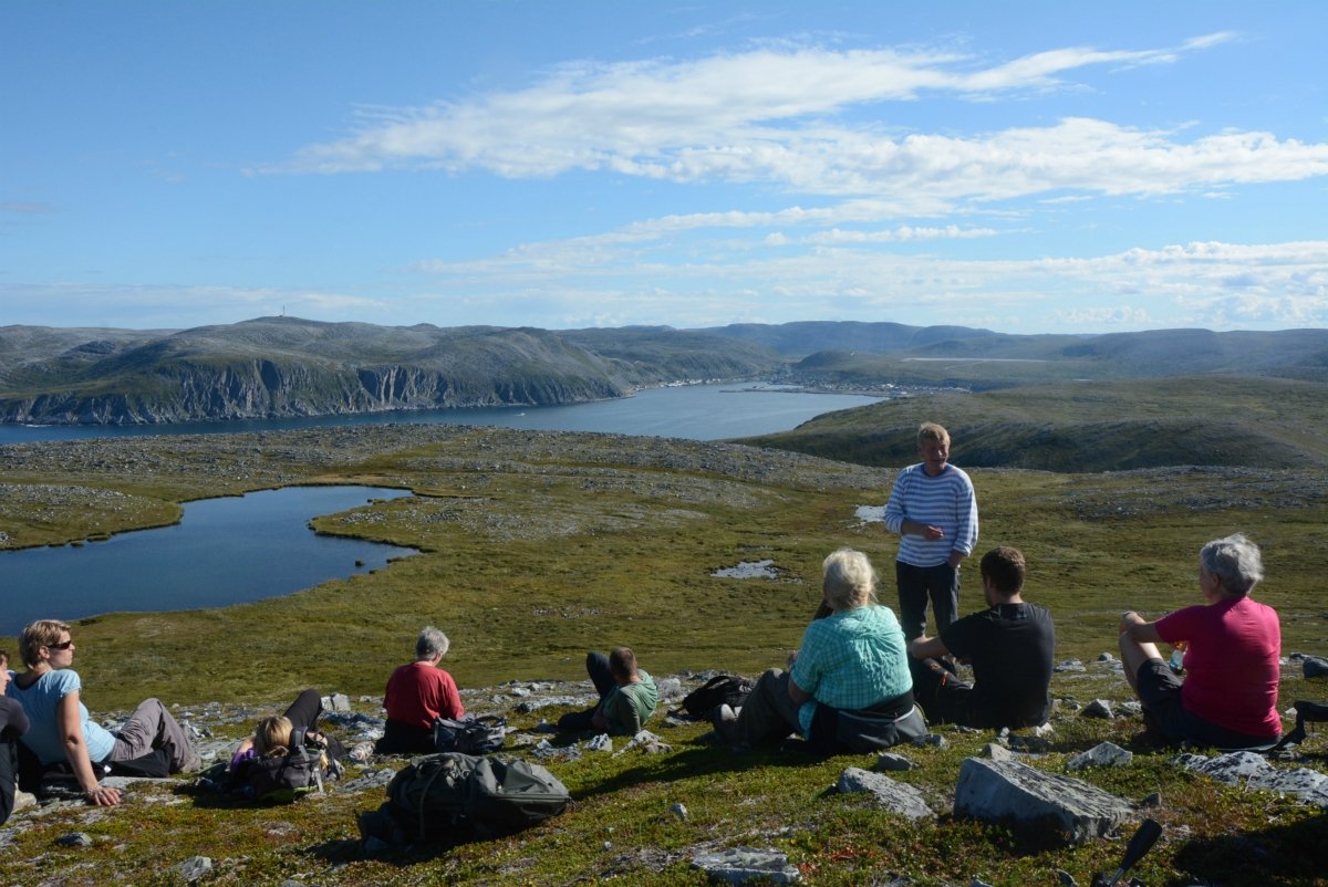
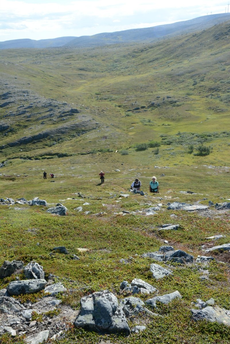
The route is smooth underfoot
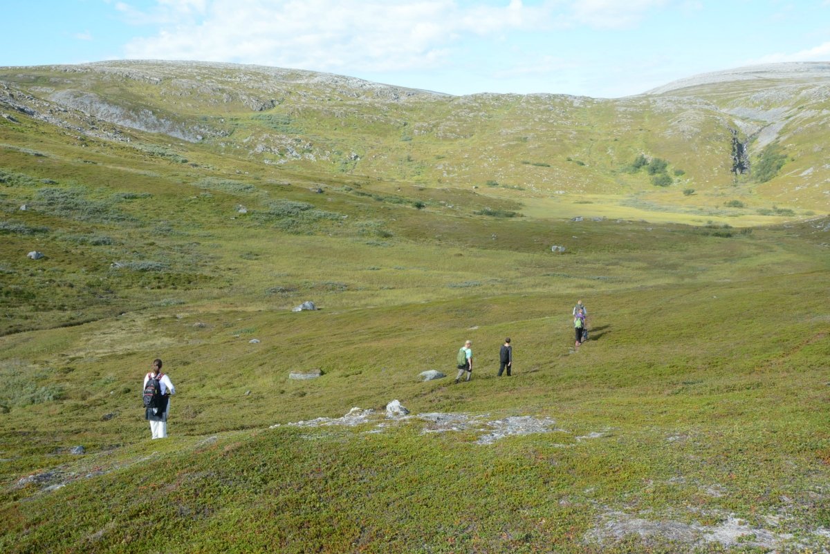
The landscape is heather-clad and gentle, and blueberries and cloudberries abound at the most popular time during the late summer. In between there are short sections of scree and rocky ground, but the terrain is mostly soft and pleasant. There are some demanding uphill sections, but you will be rewarded with the same number of downhill sections.
Trails are well-marked
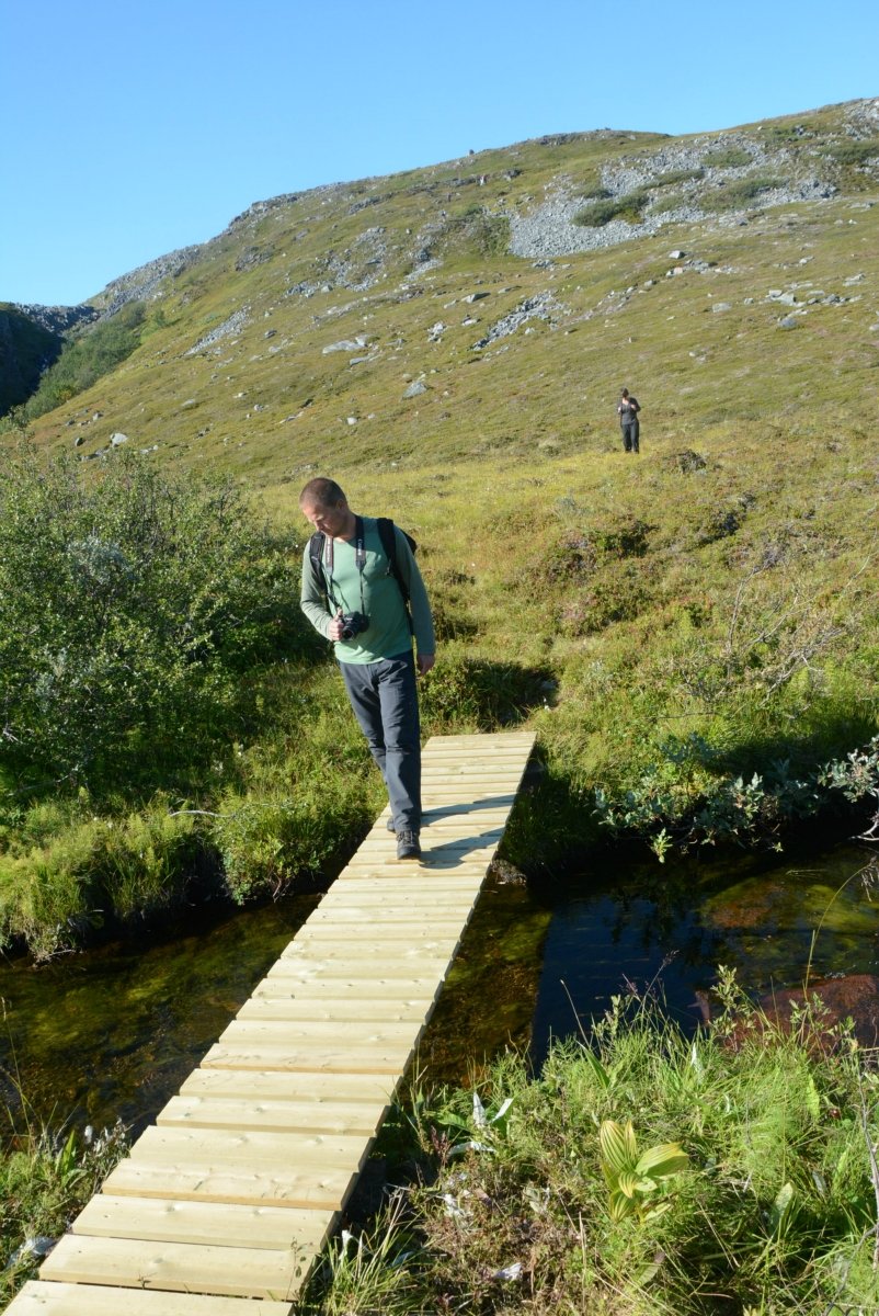
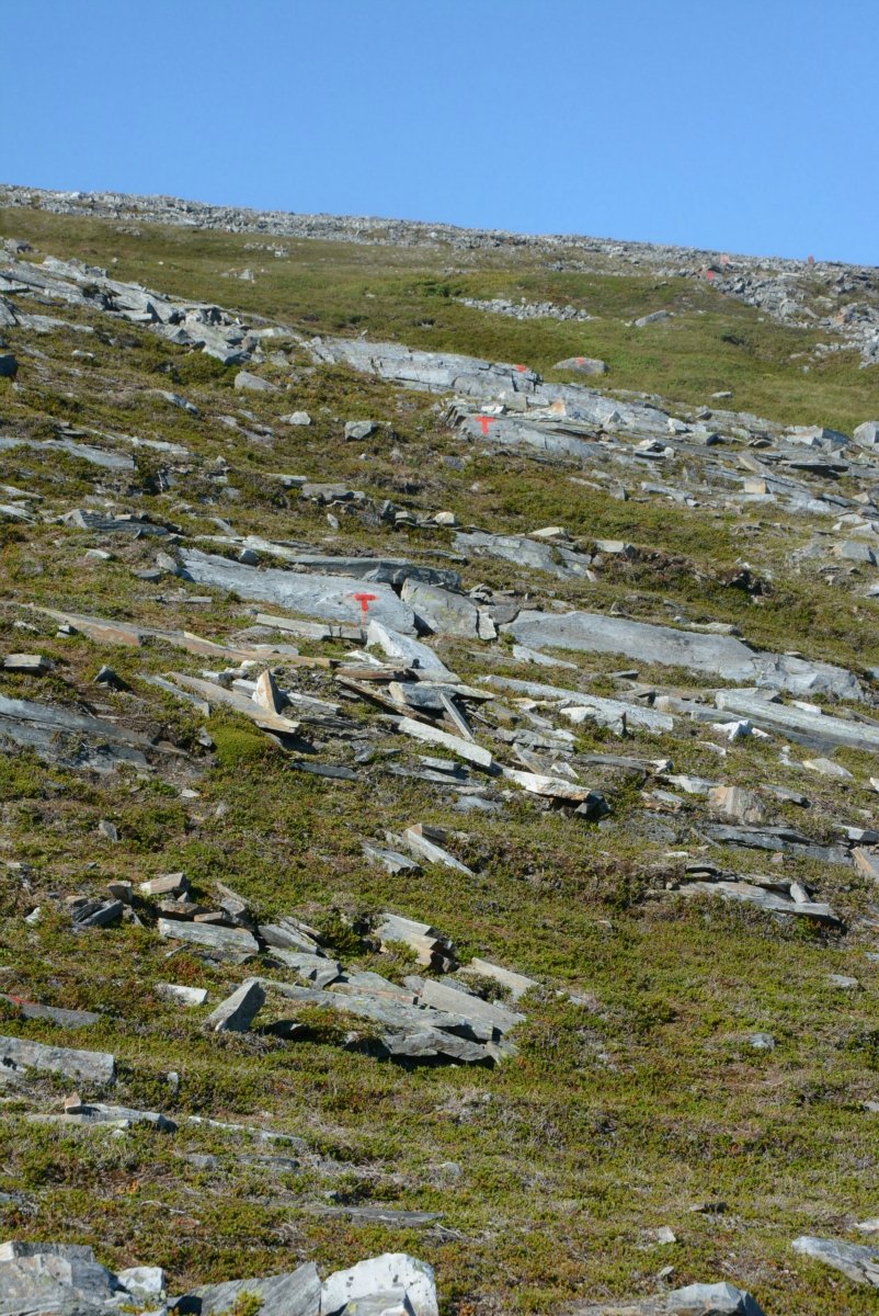
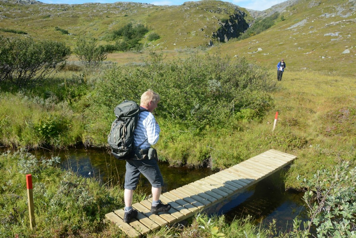
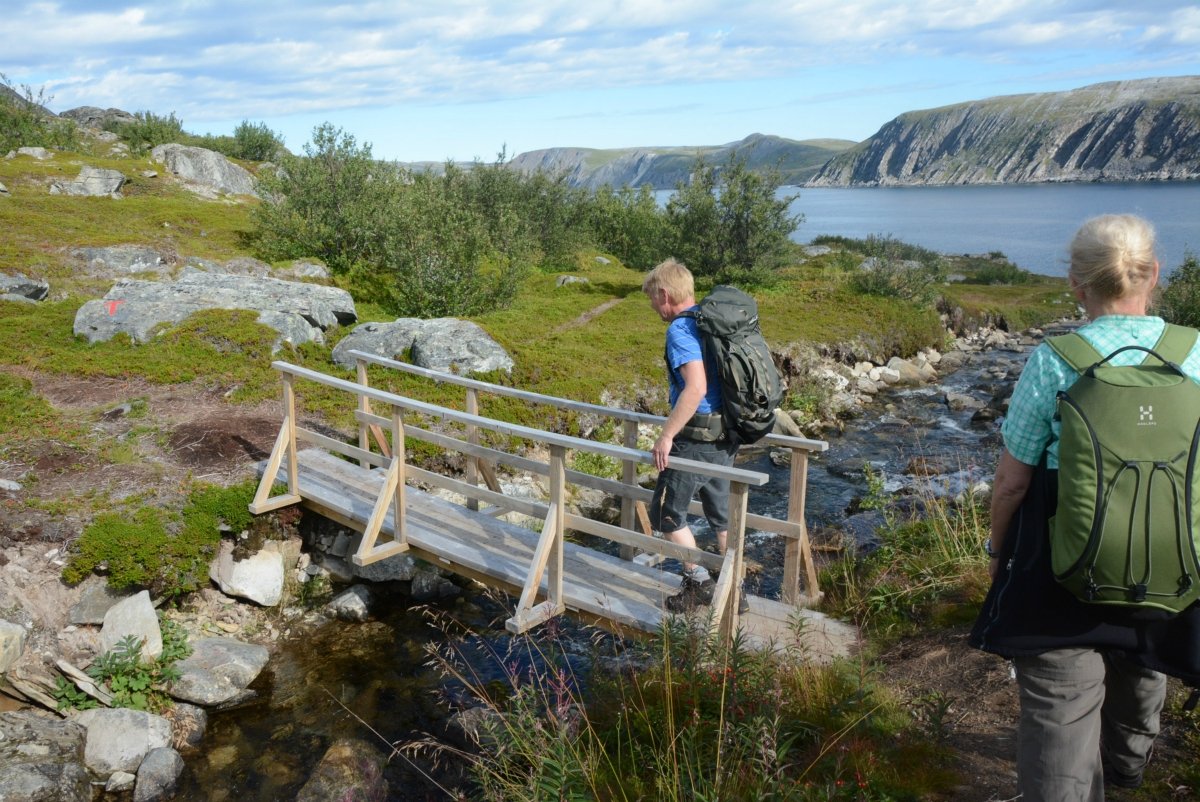
The trail starts on the outskirts of Kjøllefjord and is clearly marked by red-painted posts, small wooden waymarkers and red dots painted on stones. In the treeless landscape, the route to follow is always obvious. Small wooden bridges will take you safely over the streams. Otherwise, the paths are very distinct in the heather and show that the trail is popular among the people of Kjøllefjord, especially on a Sunday.
Finnkirka is viewed from above
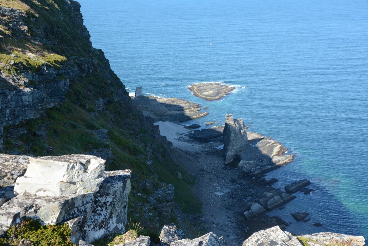
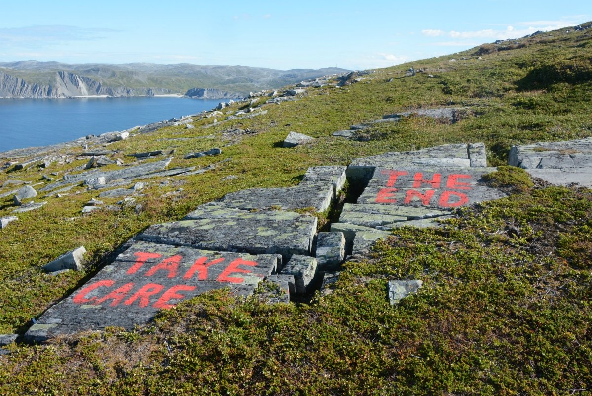
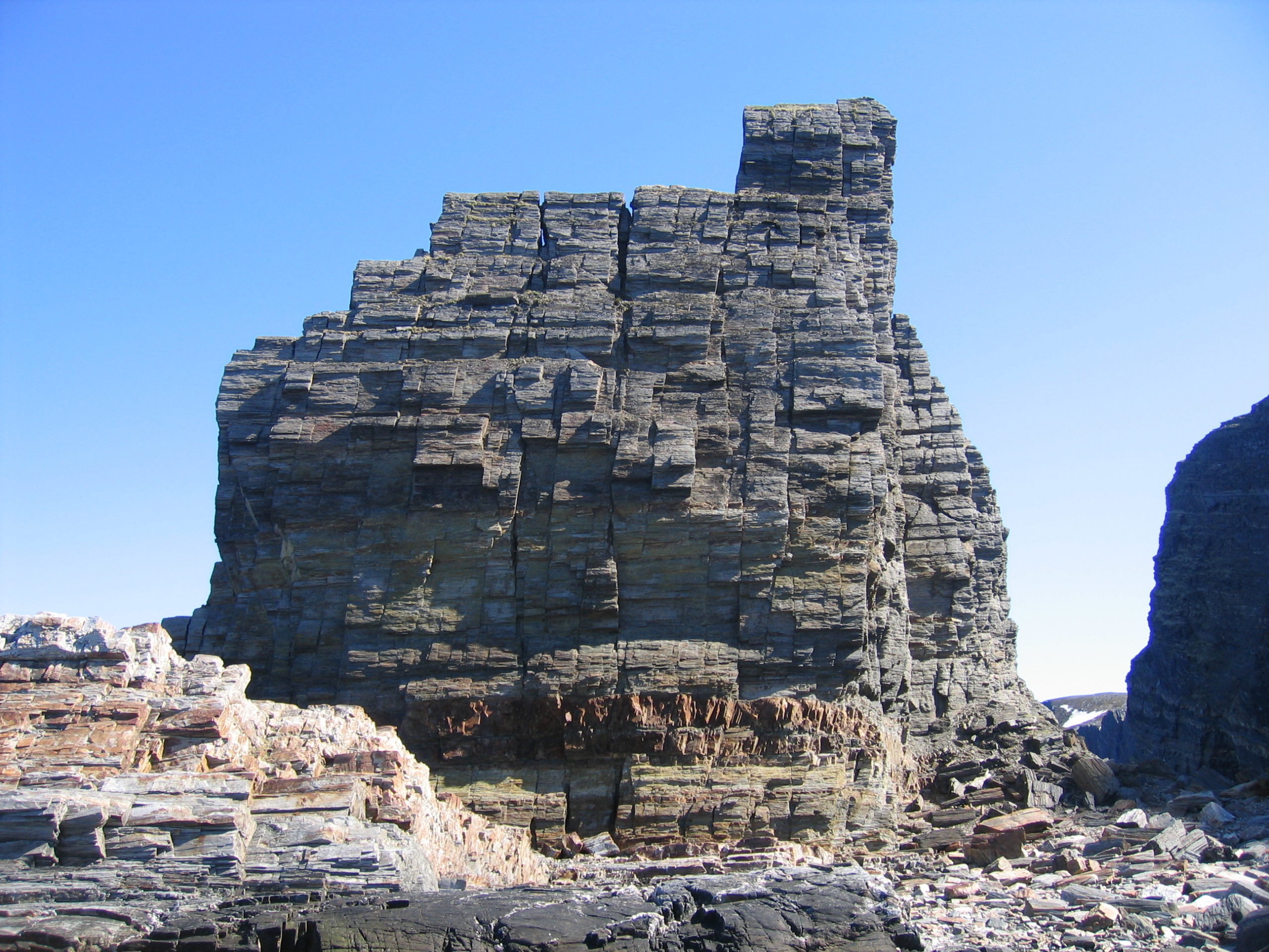
Finally, you arrive at the viewpoint. “Take care” is painted in red on a stone here, and the peat ends in a steep cliff. At the foot of the cliff, partly in the shadows, you can see Finnkirka below. Notice that the stone formations look very different close up. From the centre of Kjøllefjord, the cliff looks like a church, but close up, there are actually two different column-like cliffs hundreds of metres apart at the outer extremities. It is too dangerous to climb down to the beach, but the view from the top of the cliffs out to the Arctic Ocean towards North Cape in the distance forms a grand finale to a wonderful walk. It is easy to understand why the Sami people used Finnkirka as a sacrificial site in the pre-Christian era. This is a place to set your thoughts free.

Visit Nordkyn
For all the information you need on visiting one of Finnmark’s best kept secrets.