Some of us are fitter than others. Kristin Harila has climbed all 14 mountains in the world exceeding 8000 metres. During the summer of 2023 she climbed them all within 92 days, setting a world record. She also holds the world record for women on Mount Everest. It is thus safe to say that she knows a lot about hiking and being outdoors. We therefore asked her to share her favourites in the north with us. After all, her interest in nature started up here. Fortunately, she didn’t only recommend tough tours but also more accessible tours suited for less ambitious hikers.
Ersfjordtraversen is the ultimate peak challenge in Tromsø
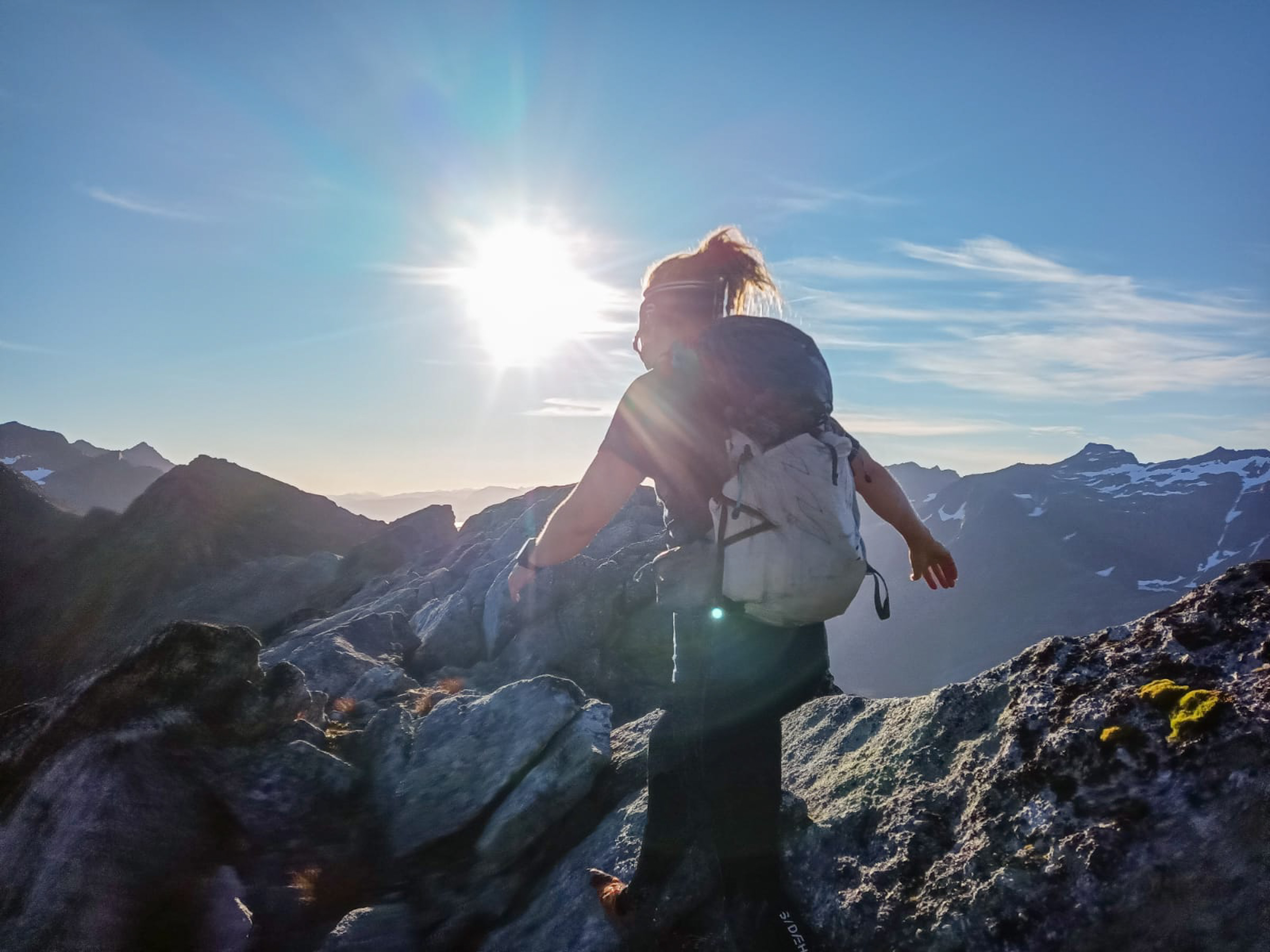
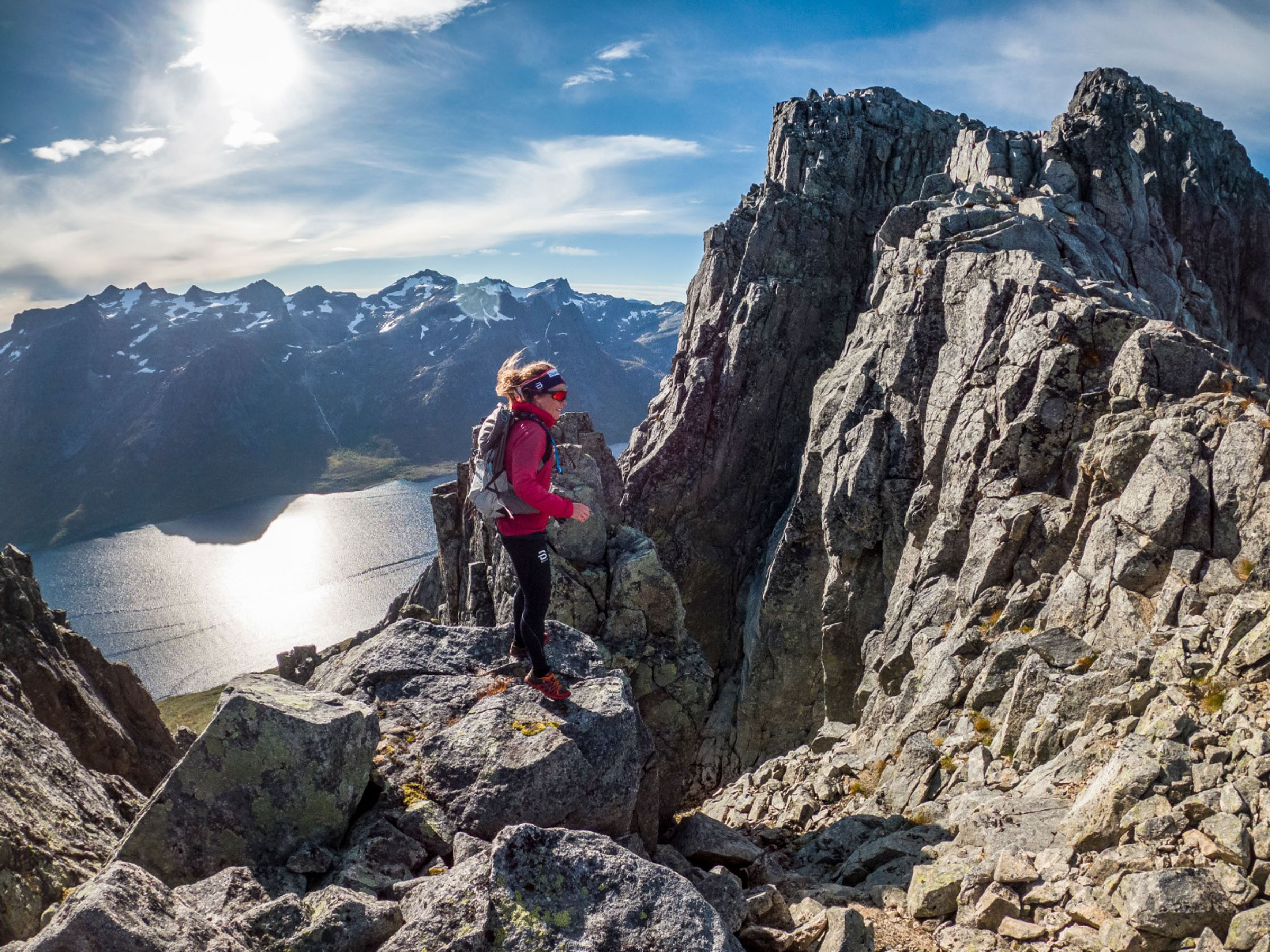
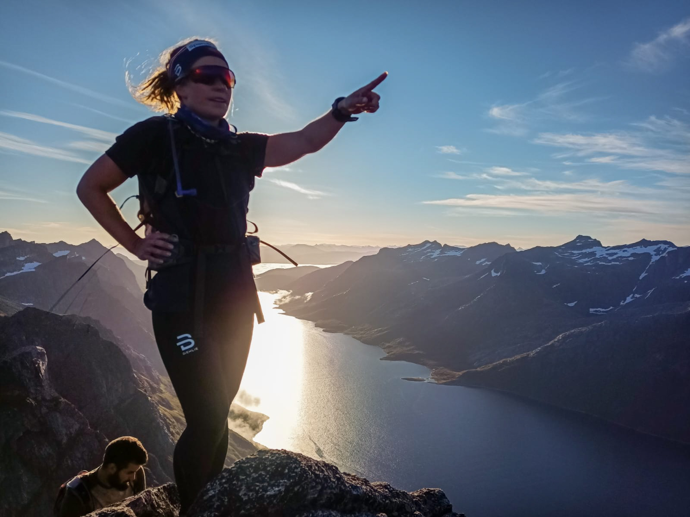
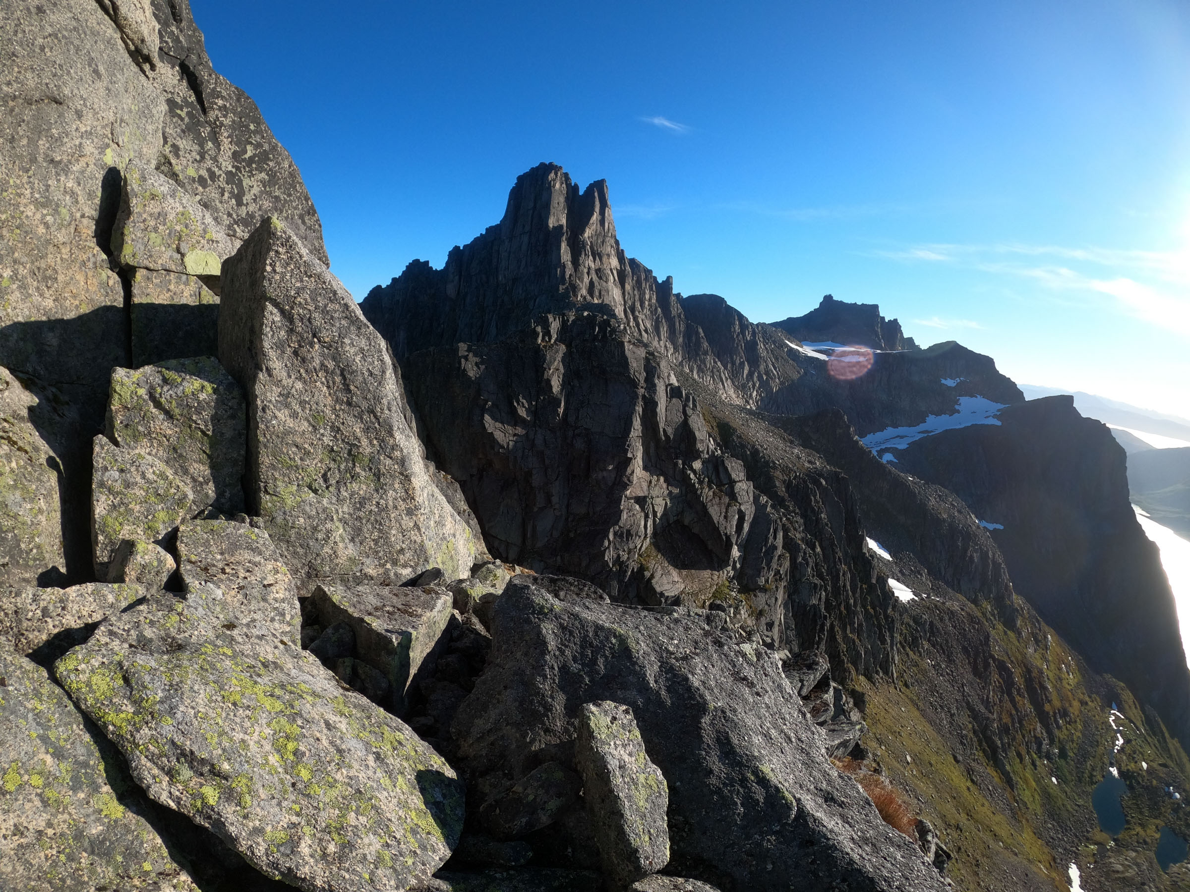
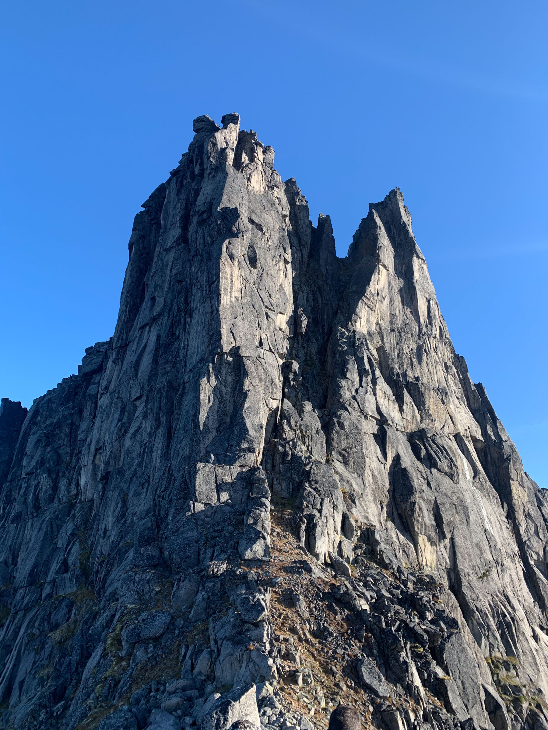
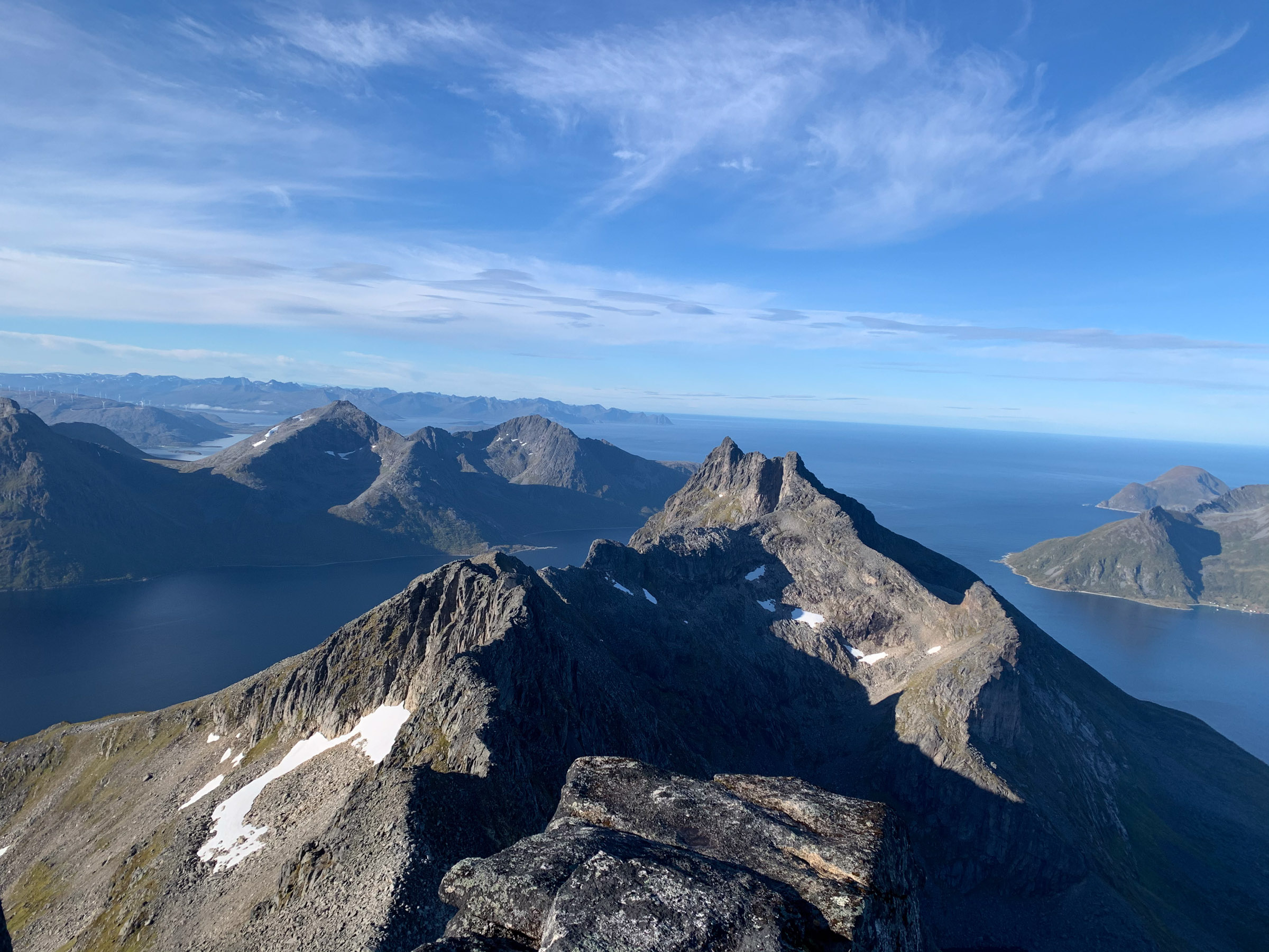
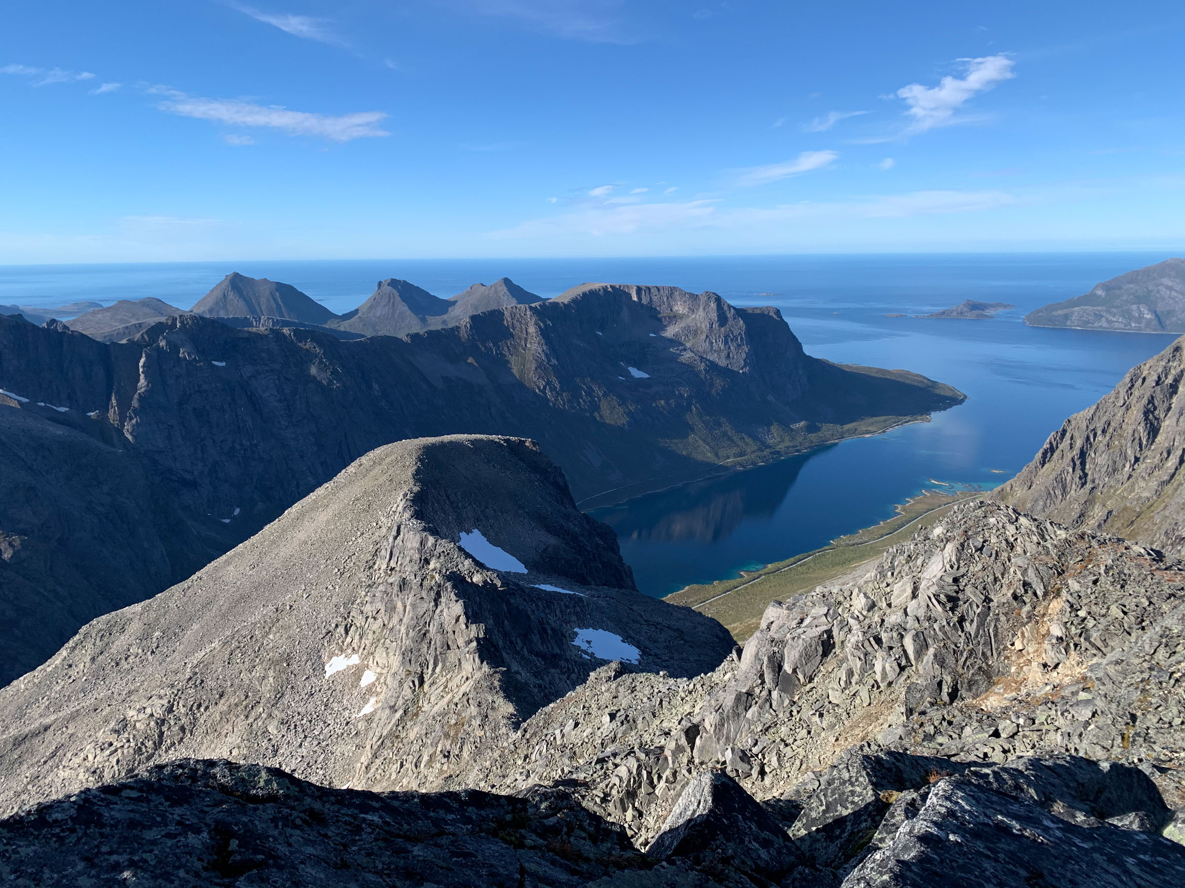
The Ersfjord Traverse – Ersfjordtraversen – is a 18 km hiking route which follows the little fjord Ersfjorden just west of the city of Tromsø. A line of very impressive Alpine mountain peaks -interspersed with small glaciers – is reflected in the fjord. The elevation gain is 2800 metres involving both hiking and climbing. In 2020, the local student Eivind Wergeland Jacobsen beat the previous record of internationally renowned mountain runner Kilian Jornet from Spain by 12 minutes at the impressive speed of 4 hours and 37 minutes. The first climb is Mount Skamtind at 882 metres, and then they follow suit; Storstolpan (658 m), Hollandaren (1029 m), Revbergtinden (965 m), Melketinden (895m), Styrmannstinden (955m), Zapffetoppen (1016m) and finally the highest, Store Blåmann at 1044. The hike involves climbing and rapelling, and is only suited for the experienced mountaineer.
This is an incredibly great tour, Kristin says. The summits are great, and I ran through the whole thing in one day. Pick a day with ok weather, as the rocks can be slippery.
Nattfjelldalen in Vadsø takes you into the wild
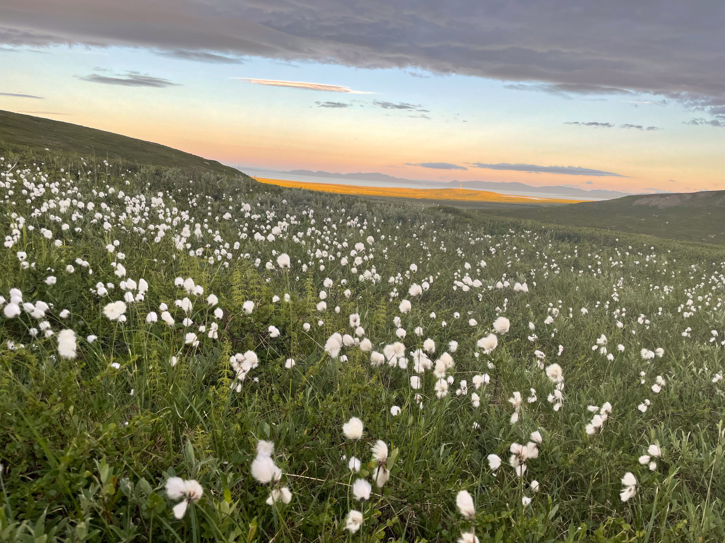
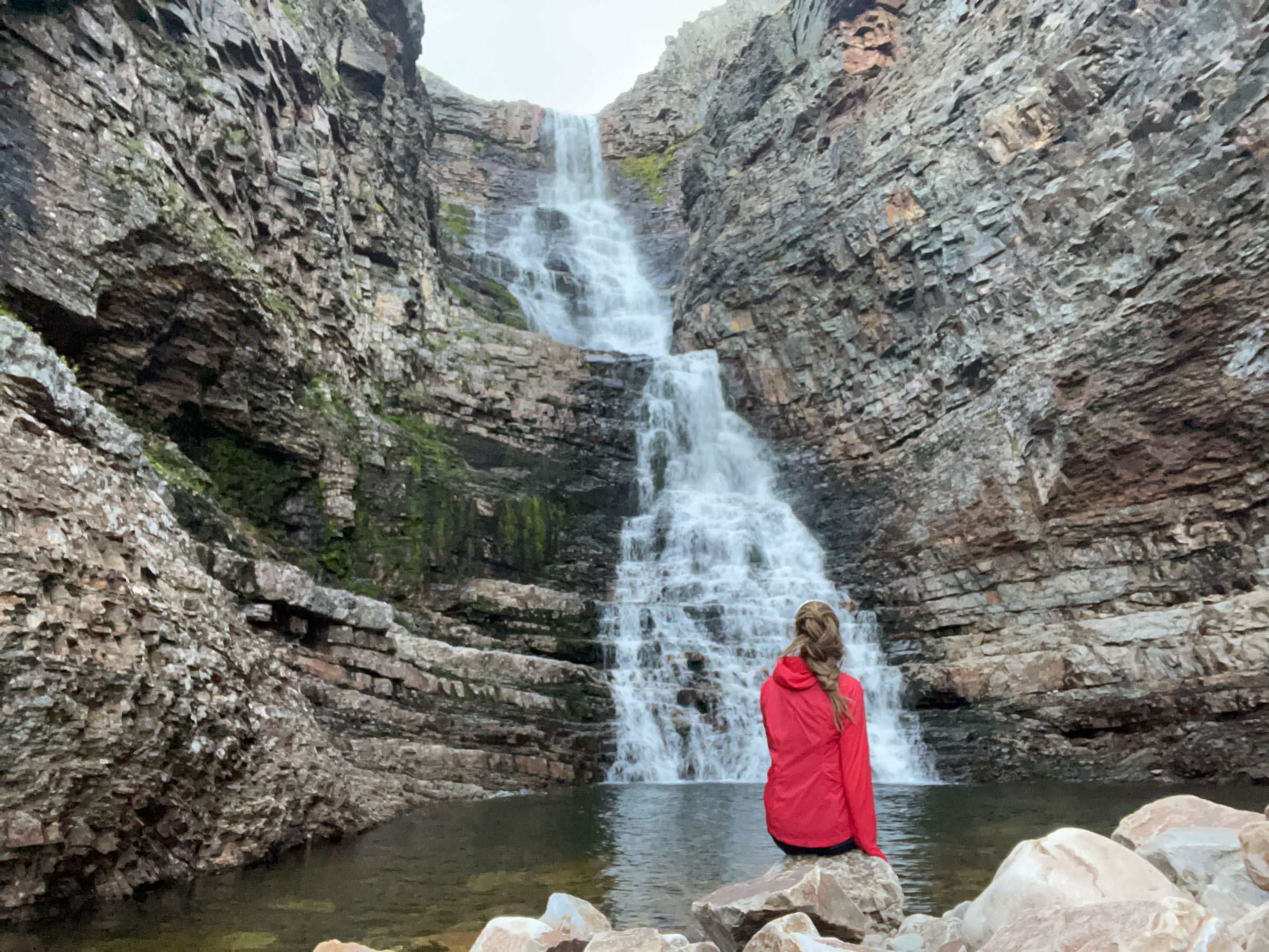
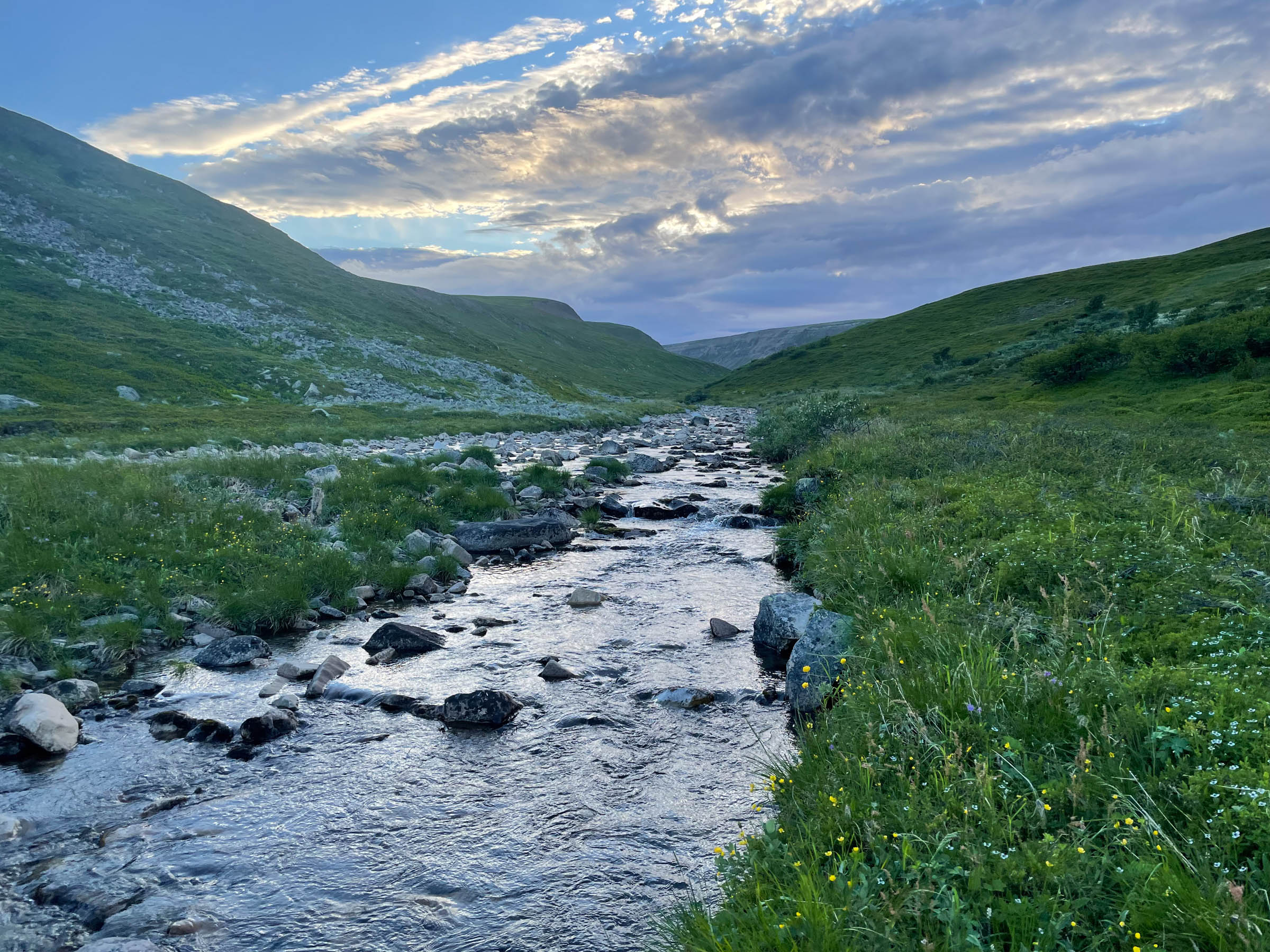
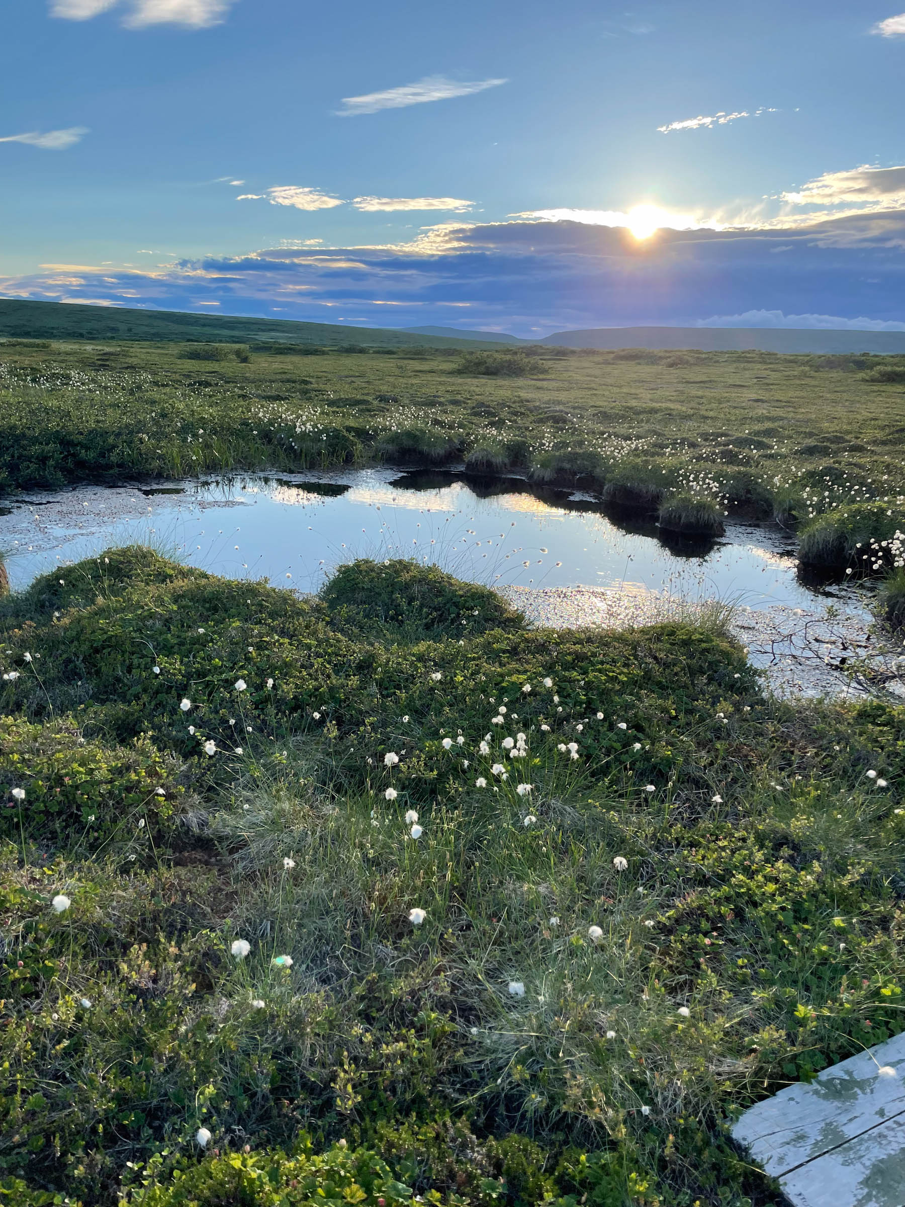
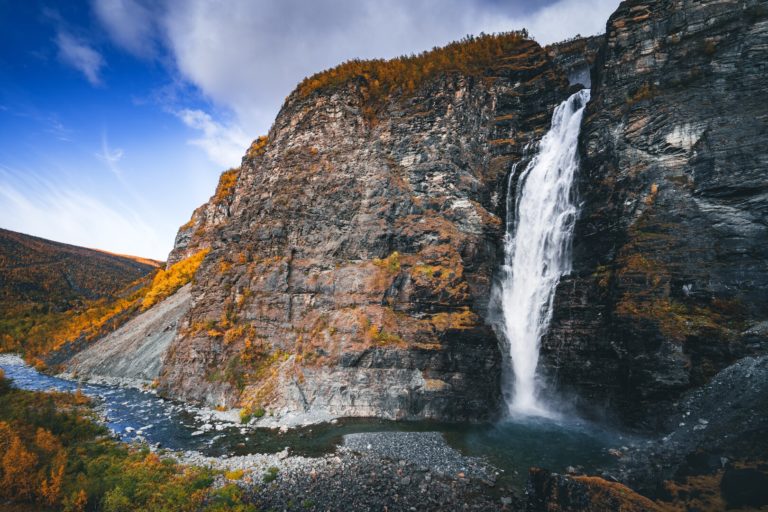
The scenery around Kristin Harila’s home city of Vadsø is far from dramatic. Instead, high horizons and wide expanses create a sense of openness allowing you to see far. The Varanger National Park covers most of the peninsula of Varangerhalvøya, and the Nattfjelldalen Valley provides easy access to this wilderness. The river has dug a canyon, and you can choose to follow the river, or walk along the edge of the canyon.The obvious target is at the very end of the valley, where the river takes a dive from the flat, wide tundra down into the valley, creating a picturesque waterfall. From the top end of the waterfall, you can see Vadsø and across the Varangerfjord the Rybachy Peninsula on the Russian side. The return hike is 19 km, making it suitable for anyone capable of walking the distance.
I use the tour as a good run, Kristin says. But if I do it in August, it turn into a berry picking tour instead. The area is just full of blueberries, and there are also cloudberries around. I also went there with a close to 80 year old relative, so this is accessible. However, to most people this is a whole day tour, so pack food and good clothes.
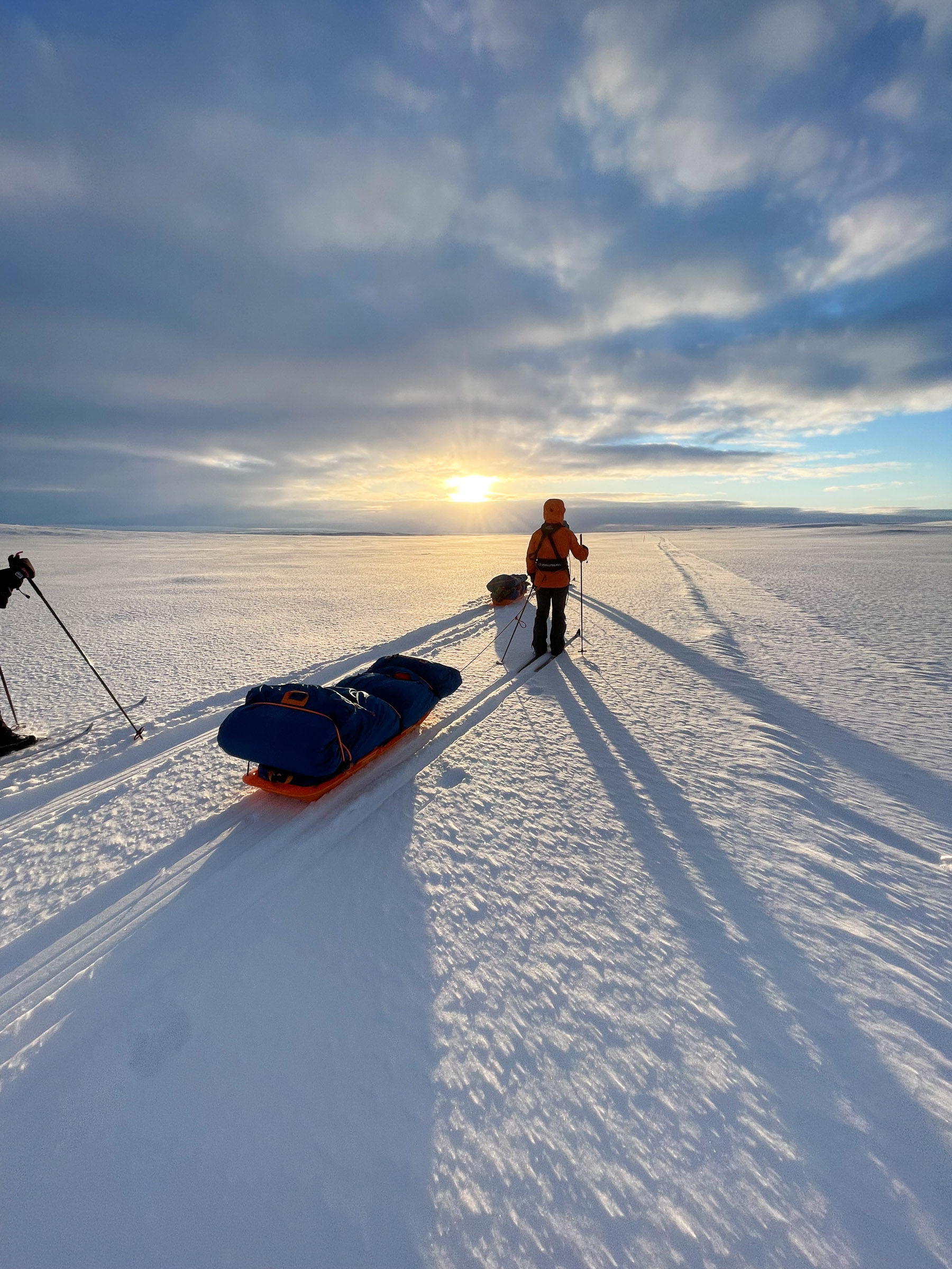
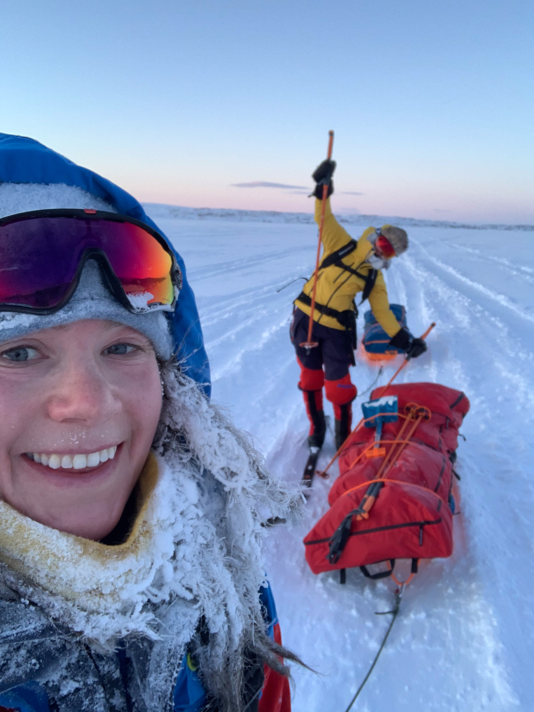
Crossing the Finnmarksvidda High Plateau on Skis is a late winter pleasure
In late winter, with stable weather and deep snow, cross-country skiing across the Finnmarksvidda High Plateau is a delight. The classical route runs 80 km from Alta to Karasjok, and is done leisurely in 4 days. On the way, one stays in “fjellstuer” – mountain refuges. These traditional and simple places to stay feed you, clean you in saunas and let you sleep well in dorms. The Finnmarksvidda Mountain Plateau consists of rolling hills, meaning you don’t have to be an expert skier. However, a bit of skiing experience is a good idea, and you should have reasonably good shape and stamina. You need to be equipped for wind, snow and rain, and sunscreen with SPF 50 will save you a severe sunburn. Experienced skiers organise it themselves, the rest of us buy a package tour with a guide.
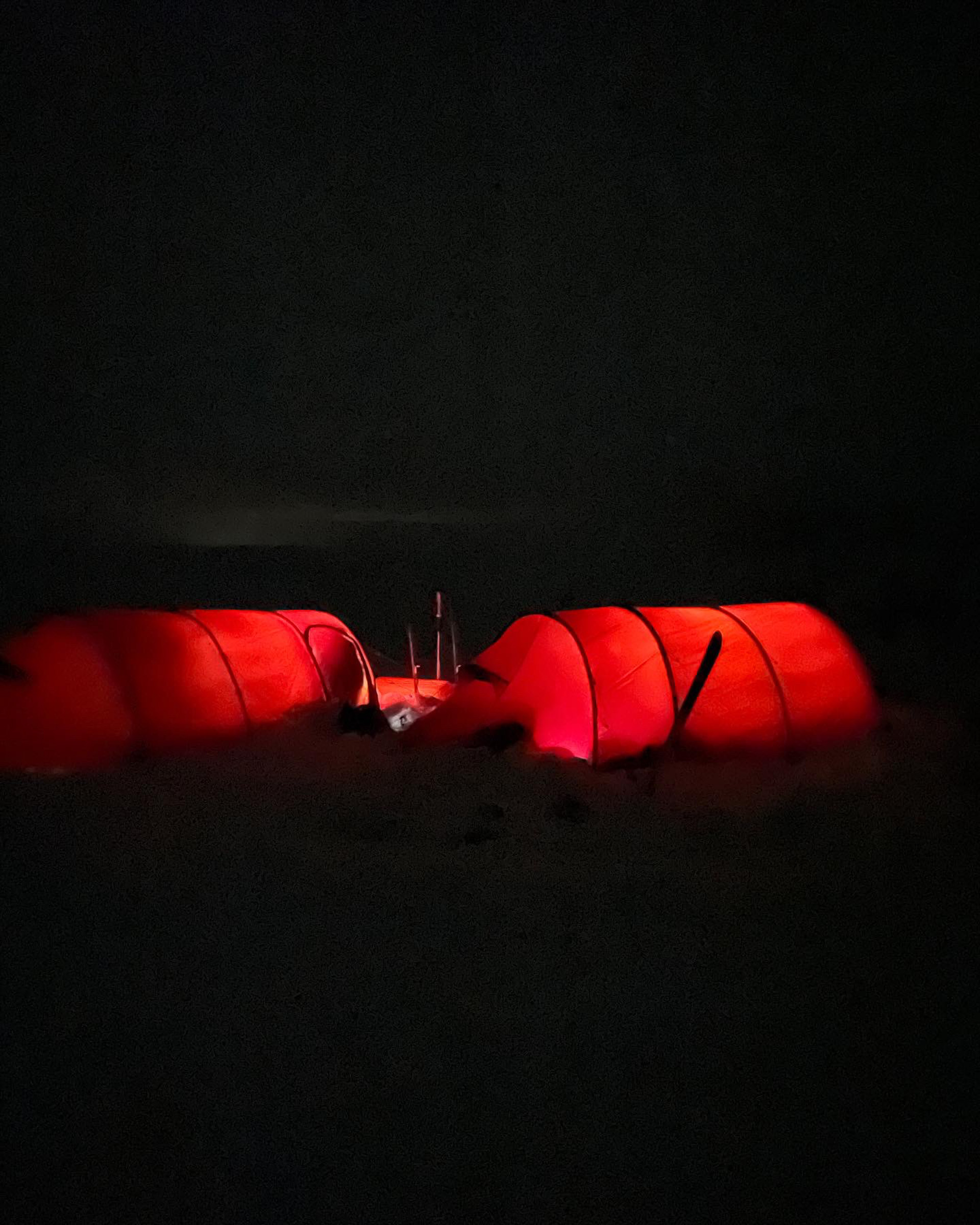
“I have done the tour in early February, camping in tents”, Kristin says. “That can be a really cold, and you also ski in the dark part of the time”. For a comfortable crossing, she recommends mid March to mid April, with perfect snow and mild temperatures.
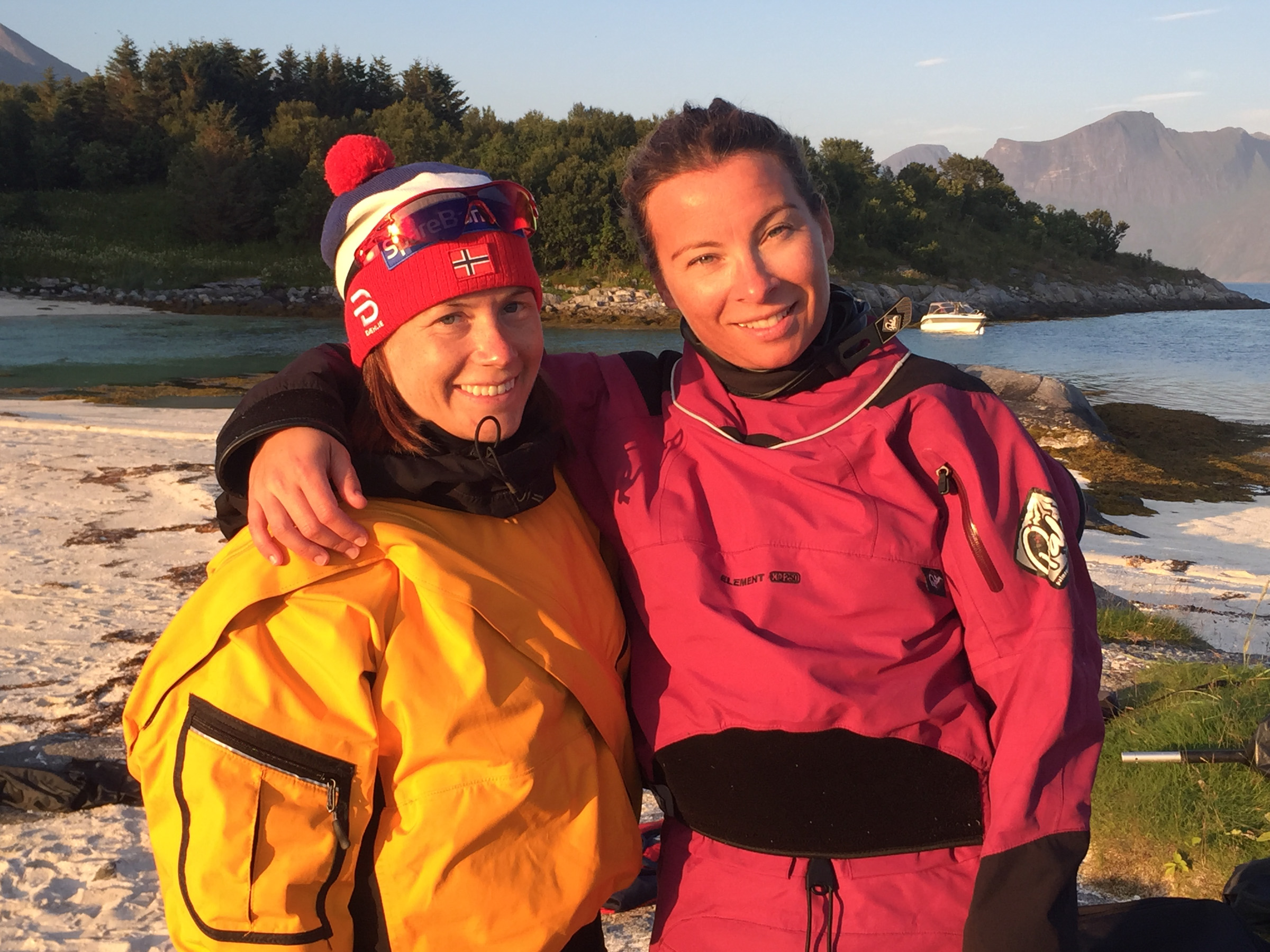
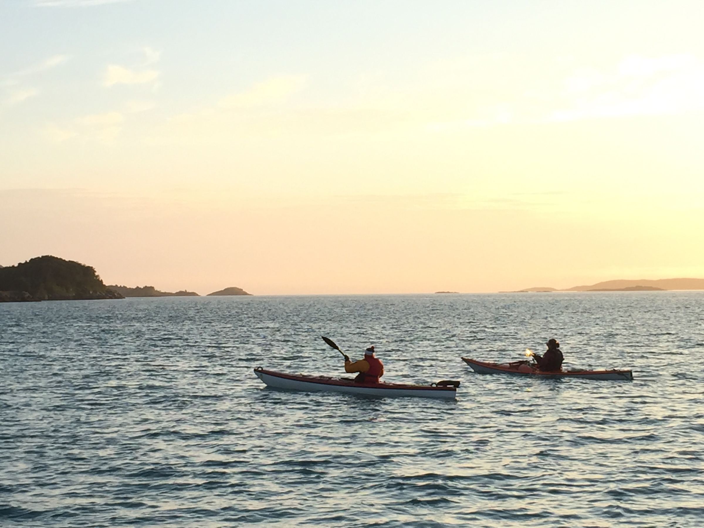
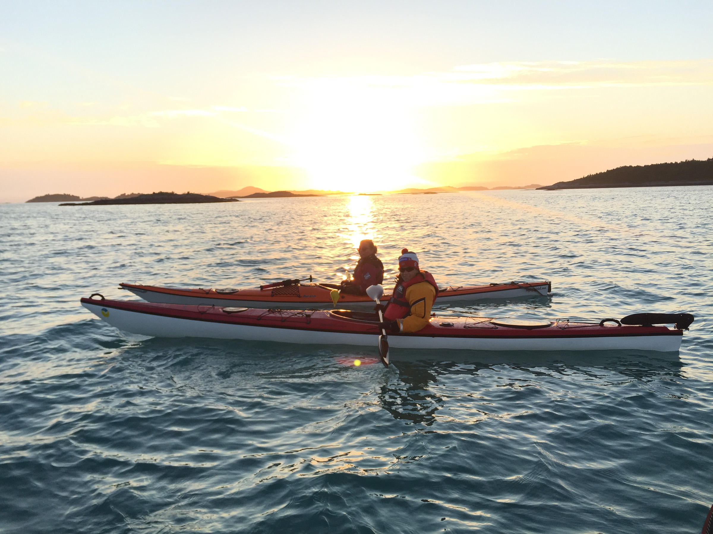
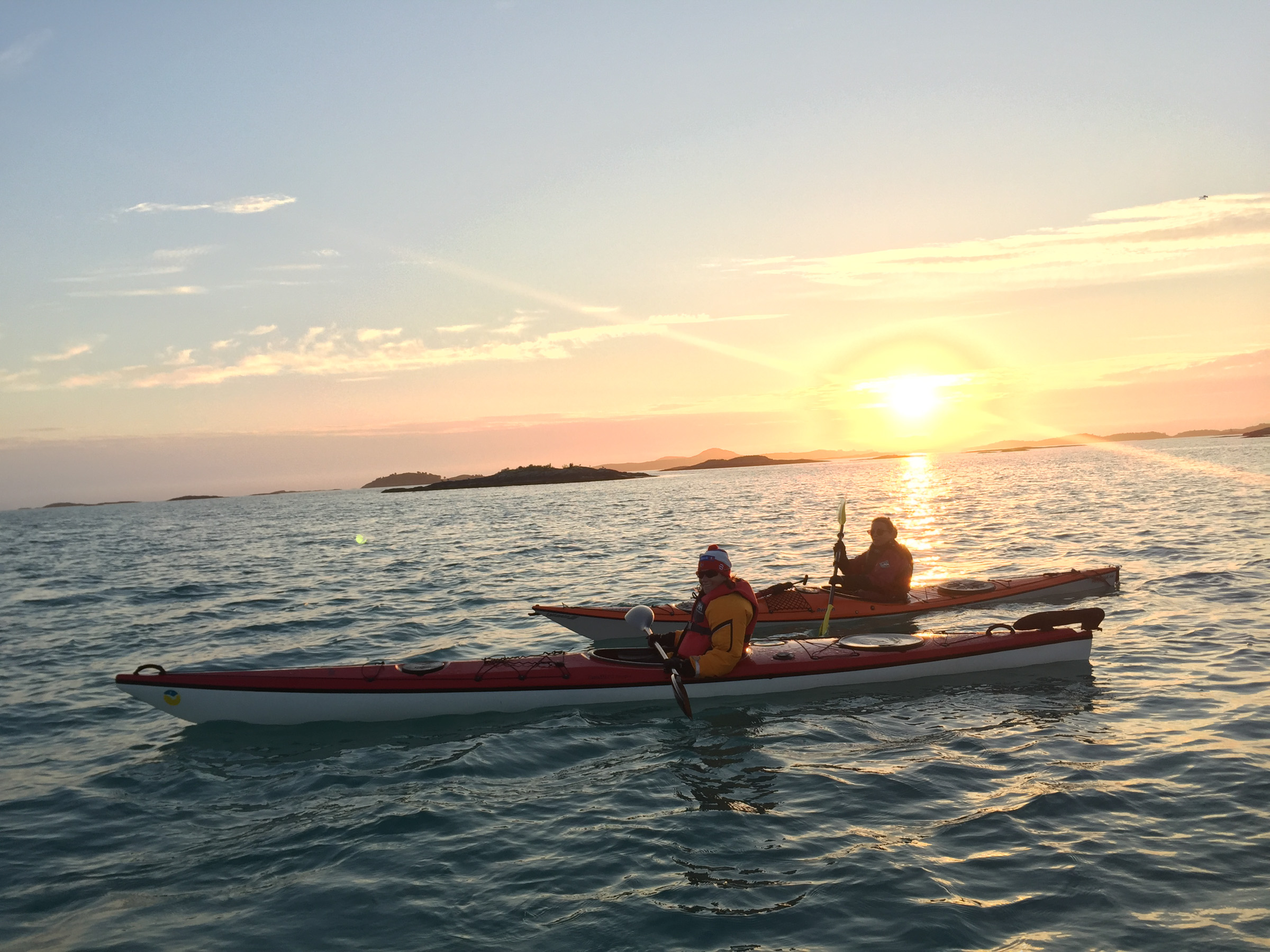
Explore the Bergsfjorden islets by kayak
On some of the islets, you can see remains of houses and boathouses. More than 50 different birds live on the islands, among them quite a few red-listed species. For any boat, these waters are treacherous, but a kayak is the perfect way to get around. Often, you have but an inch of water under the kayak. The white coralline beaches are perfect for a very fresh swim in the summer, and you can picnic. Many of the islands cannot be visited during the nesting season, but Lille Færøya where Kristin landed is fine to visit. It’s all accessible from Hamn i Senja.
“Oh, that was just a dream” Kristin says with dreaming eyes. “We kayaked around the islands in the midnight sun. The white beaches were wonderful”
Hamperokken is the Matterhorn of the North
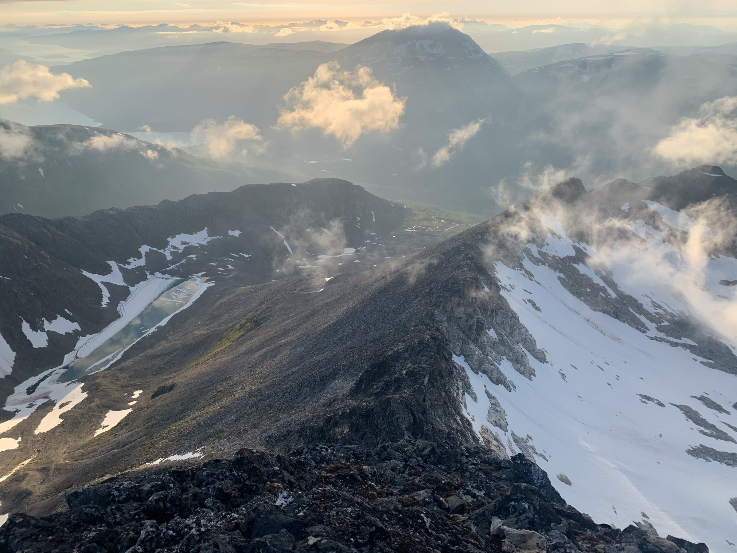
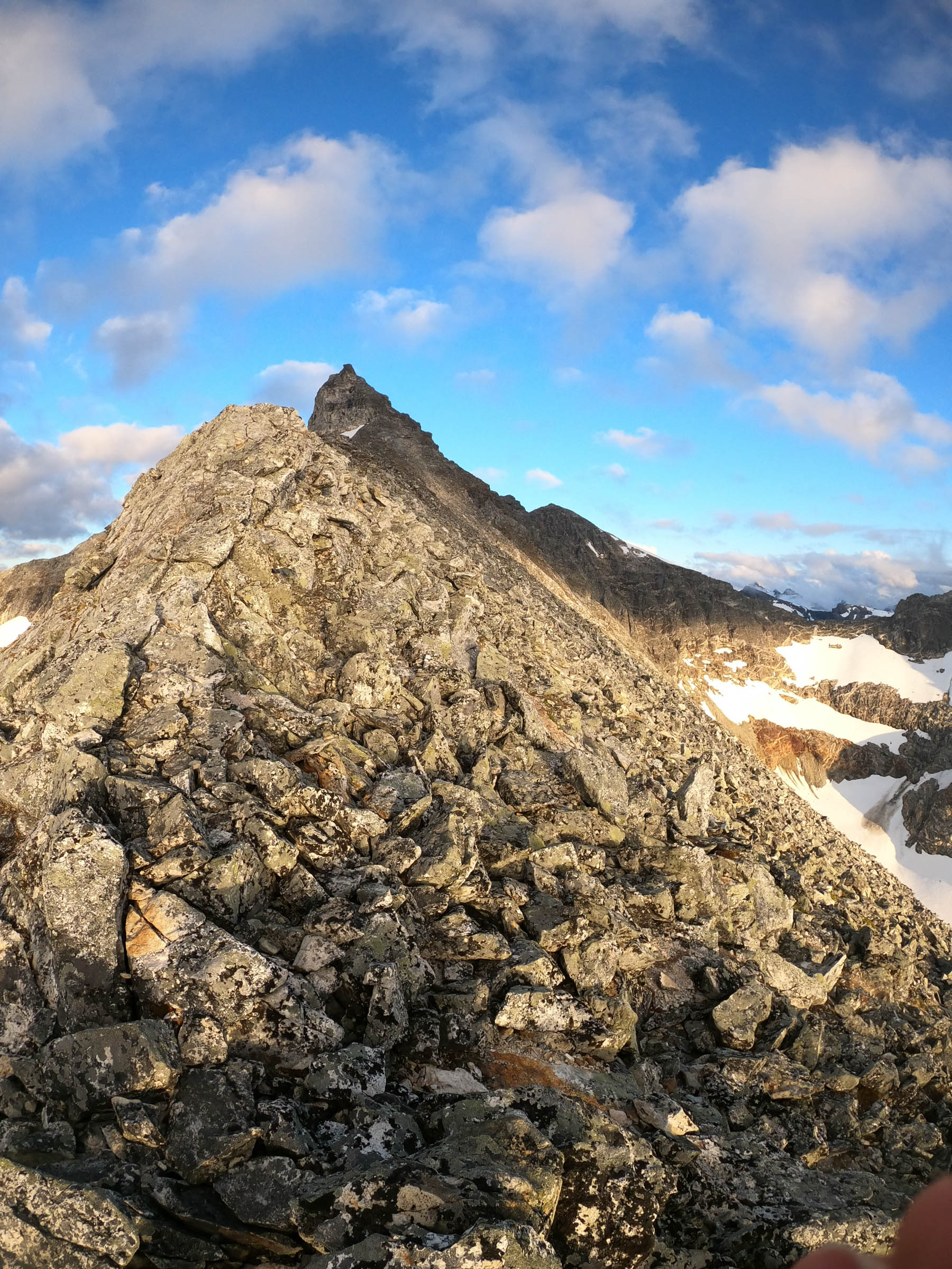
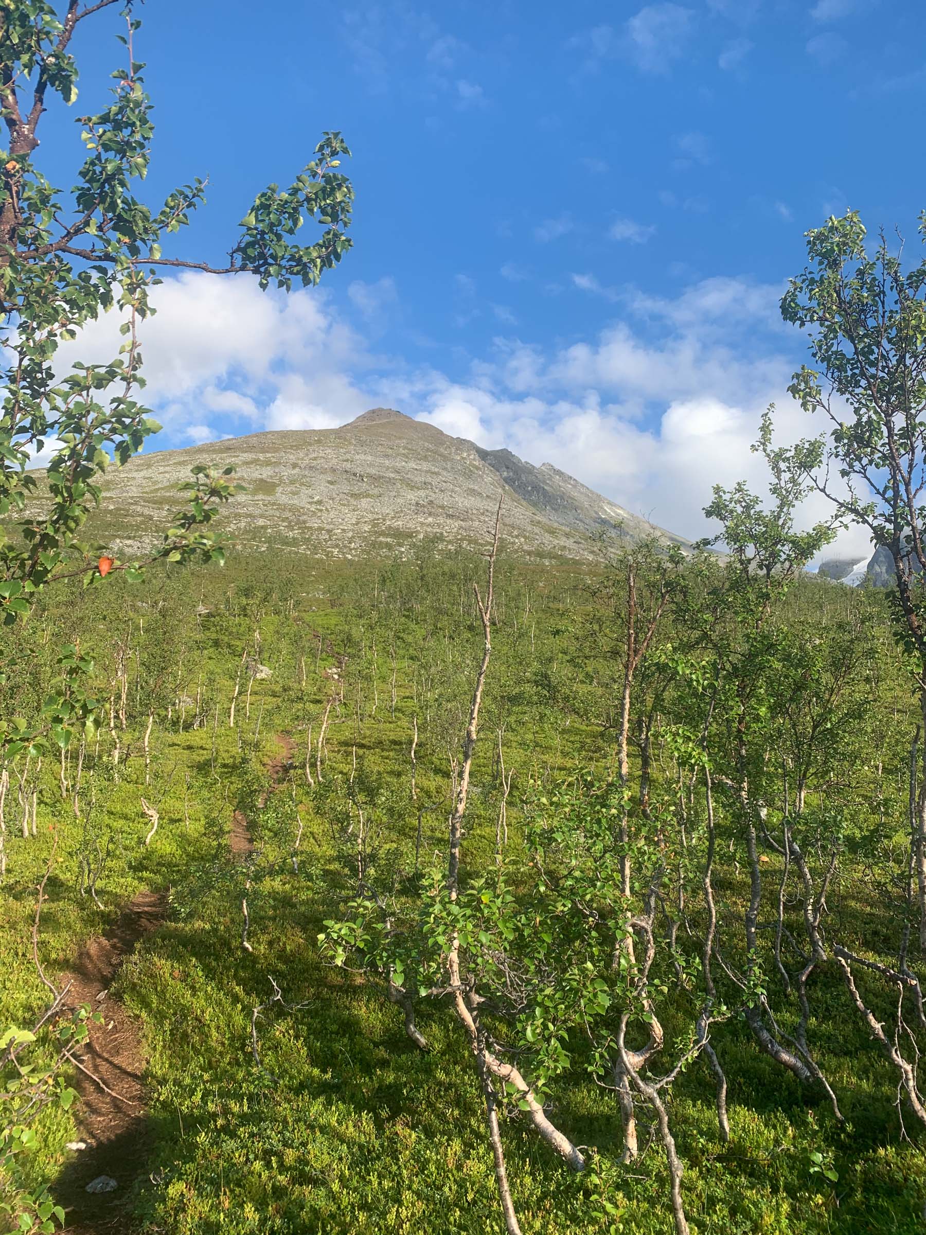
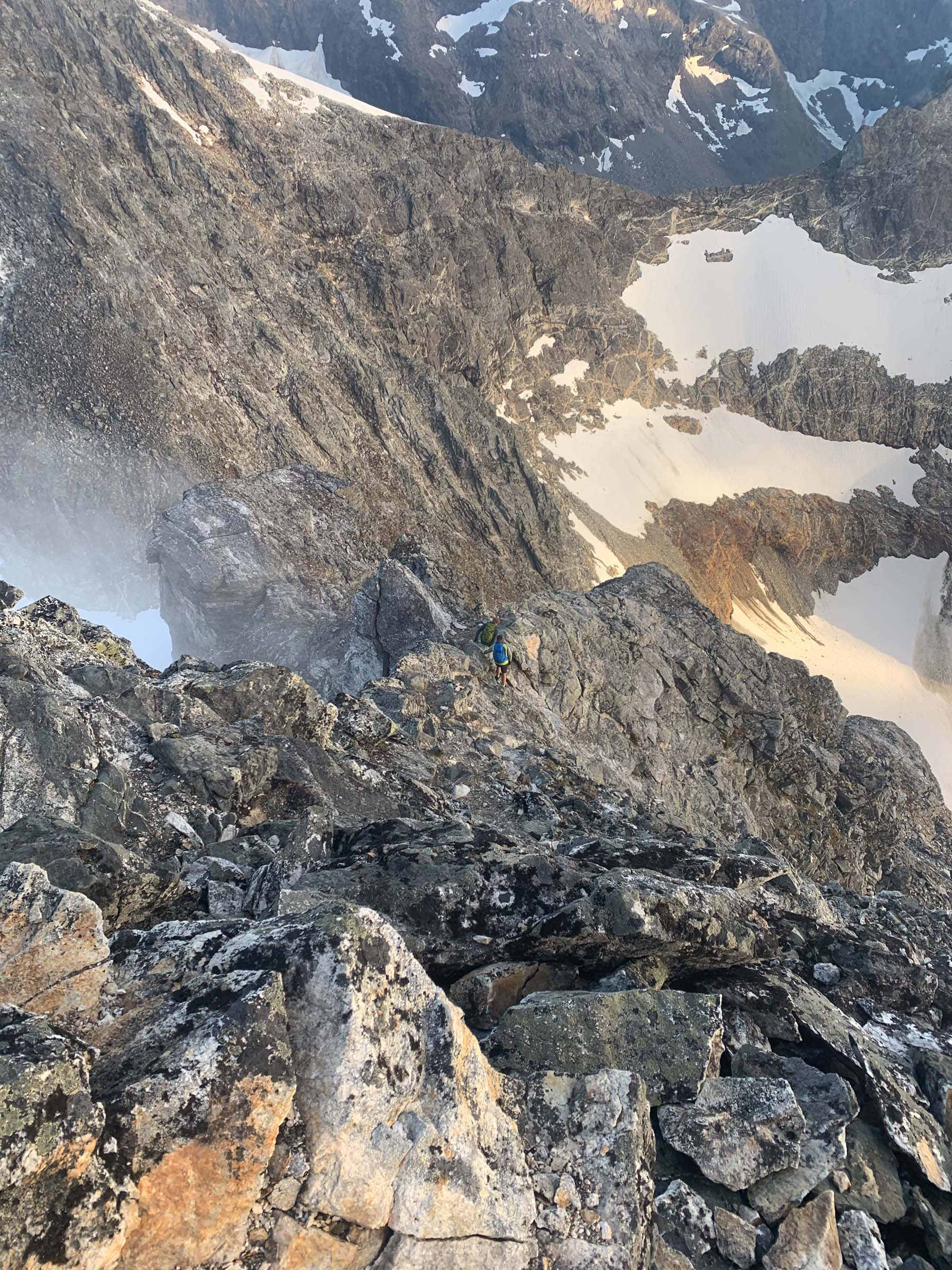
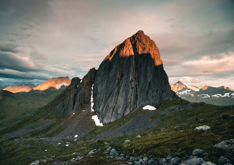
Among the favorite peaks for sporty Tromsø residents is Mount Hamperokken, standing at 1404 meters high. Shaped like the Matterhorn is is a challenging and to some nerve-wrecking peak. It can, however, be done by anyone in ok shape who is used to a bit of summery mountain hiking. Some 25 km out of Tromsø, the hike starts with a steep ascent. In an altitude of some 1100 metres, the “Egga” awaits, a ridge full of big boulders. Finally, after a cumbersome time, you reach the last pinnacle. The side is a bit of a scramble, but before you know it, you’re on the small platform at the top. From here, you see far away, to the Lyngen Alps in the east, a maze of peaks and valleys in the south and in the west as far as the island of Senja This mountain requires stamina and some experience in mountain hiking. Avoid it in wet weather.
“There are just so many great summits right outside Tromsø” Kristin says, and this one right outside town is a real challenge with great views. Do it on a good, dry day, though.
The Lyngentrappa – the sherpa steps into the Lyngen Alps
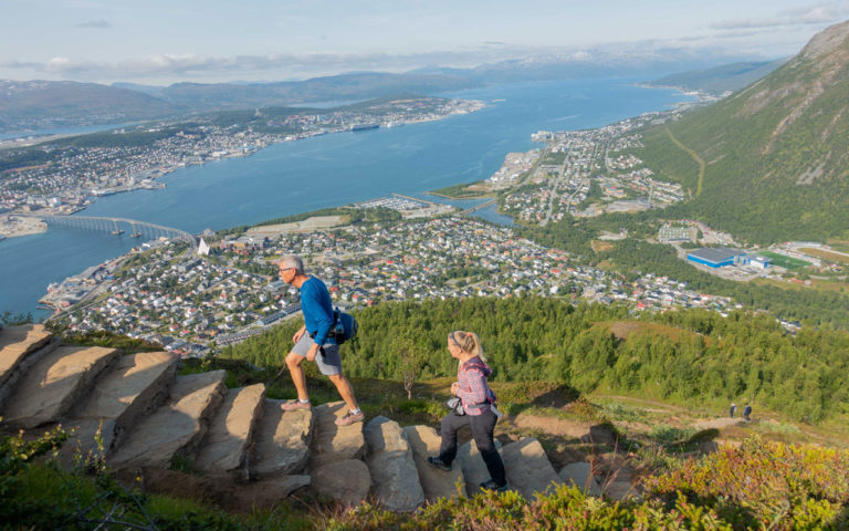
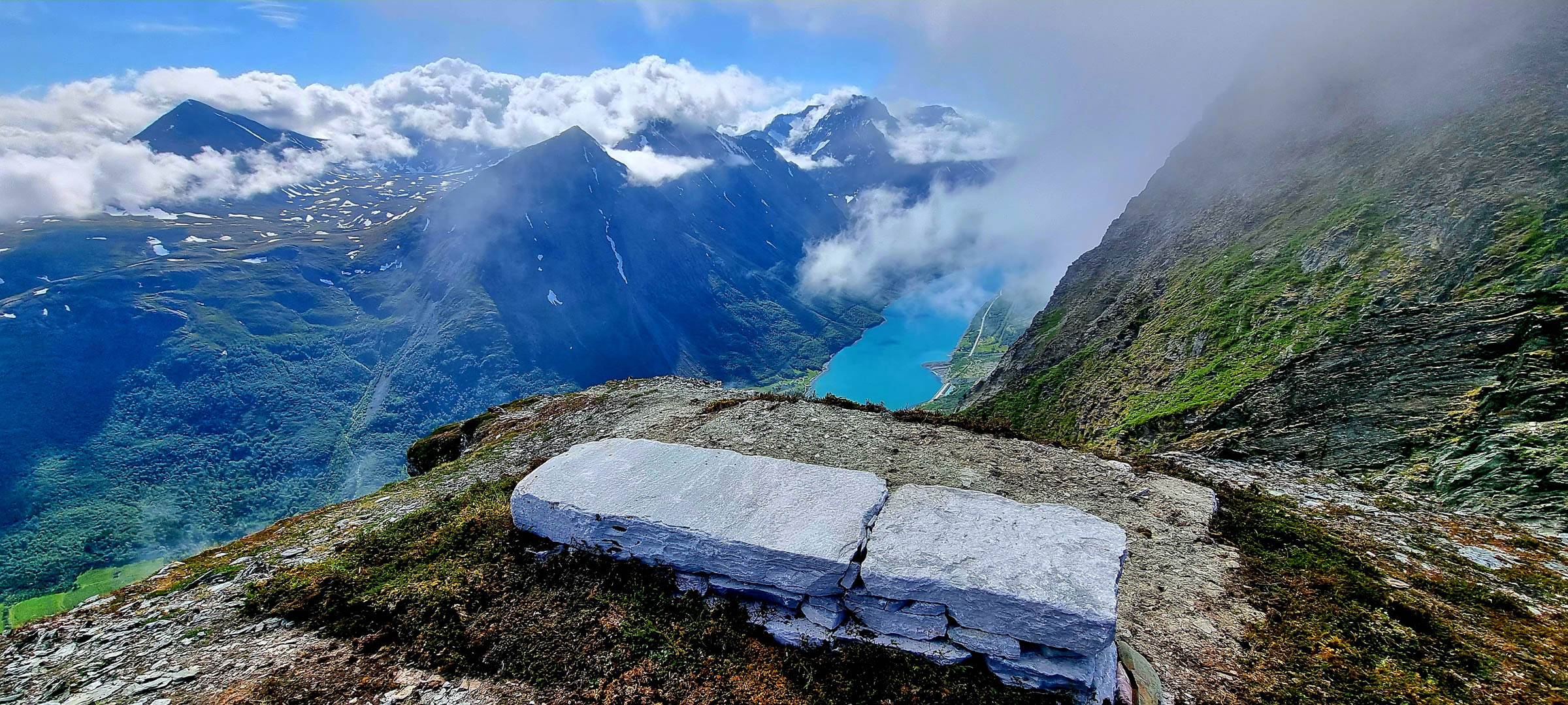
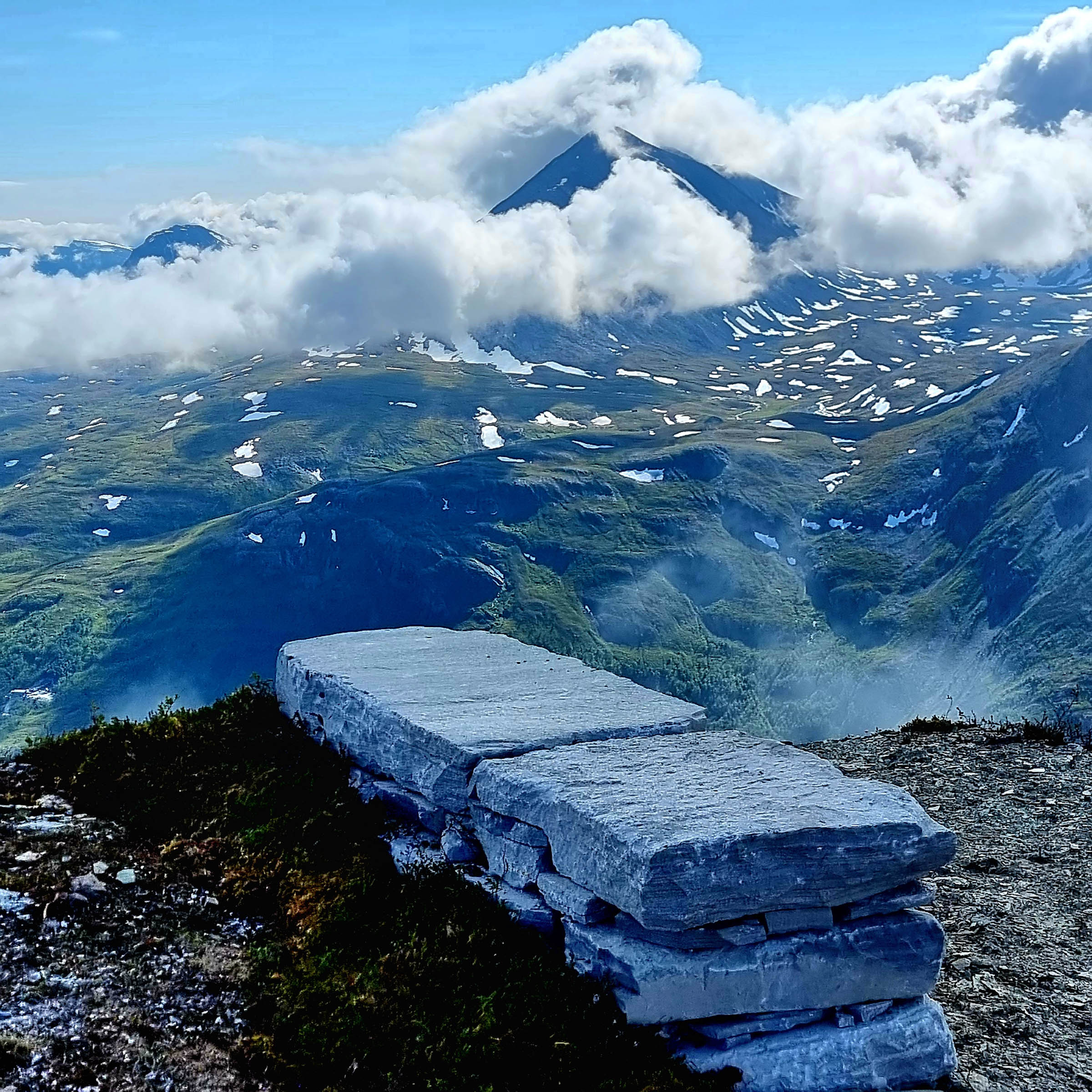
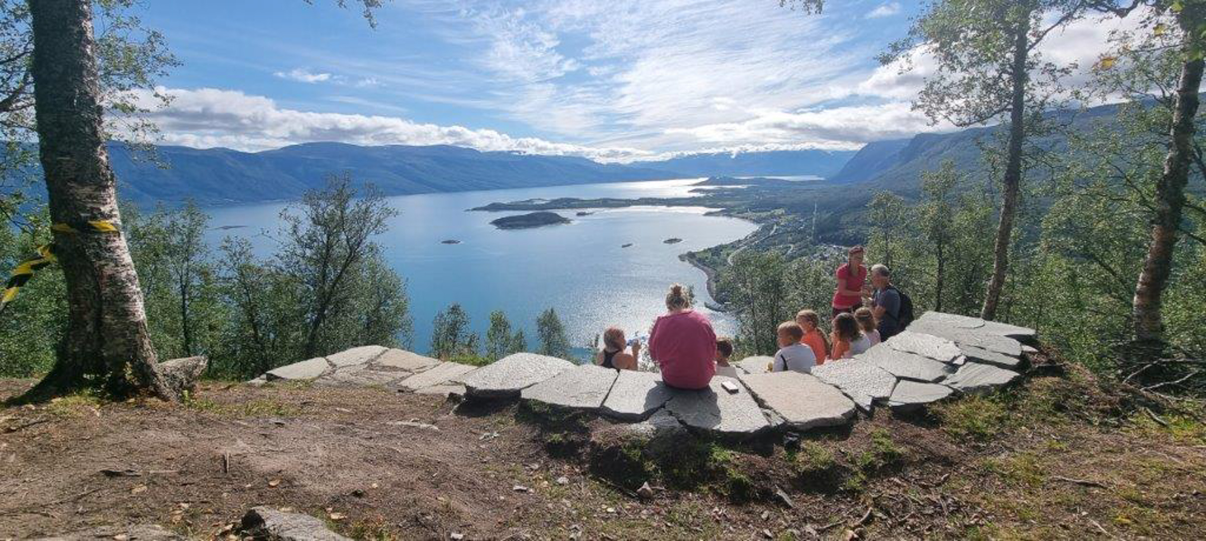
The impressive Lyngen Alps run for 100 km from the inland to the coast, rising up to 1800 metres from the fjord. This world of towering peaks, glaciers and steep ascents can be tricky to navigate if you’re not used to mountain hiking. In September 2023, Kristin Harila inaugurated the Lyngentrappa – the Lyngen Steps – constructed by Sherpas from Nepal using their unique building technique. We can thus get an easy access to these fabulous mountains. On finely adjusted slabs and stones, you ascend 1200 steps and are rewarded with views across the Lyngen Fjord on one side and up the alpine peaks on the other. For the average climber, this is a perfect stop, but Kristin continued further into the mountains.
“I have got many friends in Nepal” Kristin says “And there stone building is an old tradition not only for building paths in the steep terrain, but also for houses”. The many paths built by the Nepalese sherpas are a source of pride for the locals, and of course provide jobs locally. In Norway, the steps give a lot of people easier access to nature, according to Kristin.
The hike along the ridge of Senja lengthwise is a four-day hike
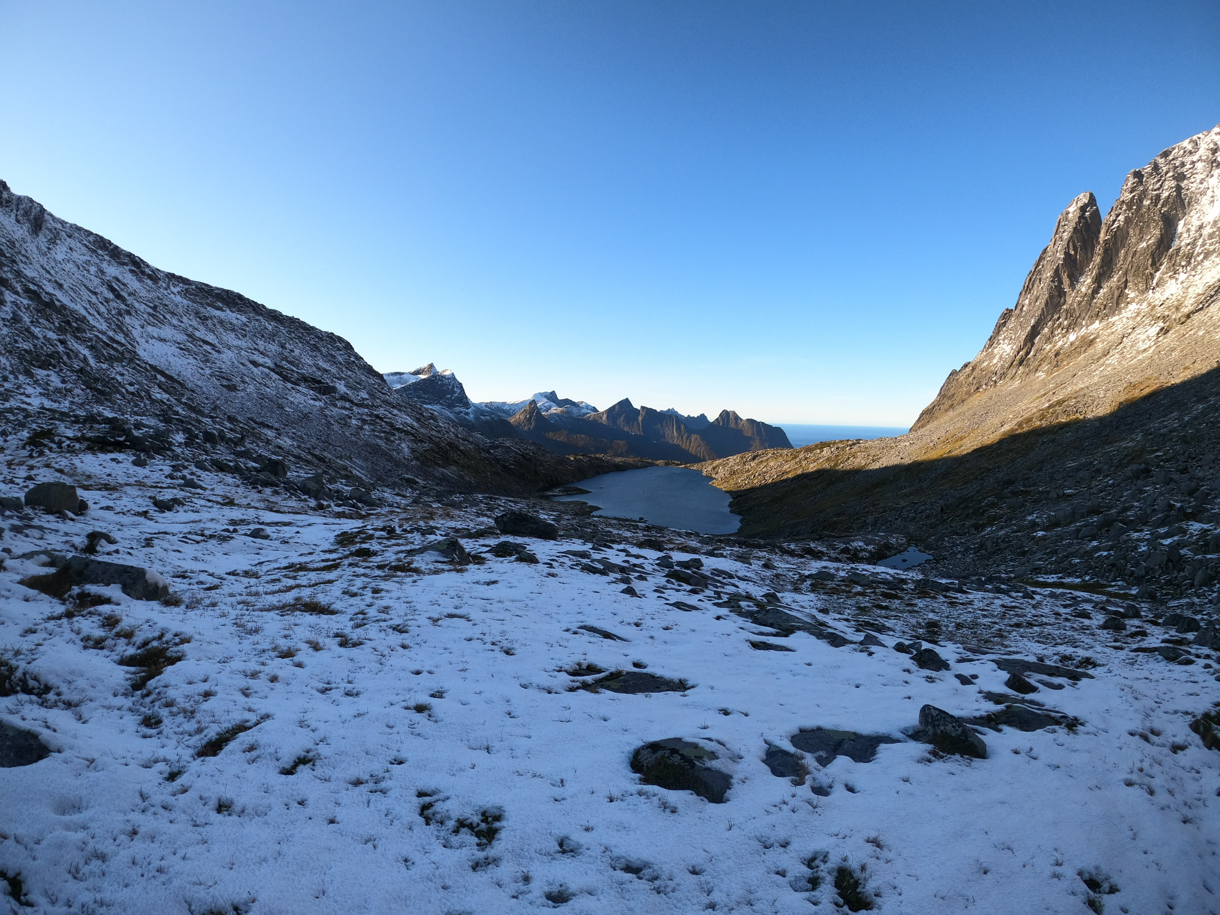
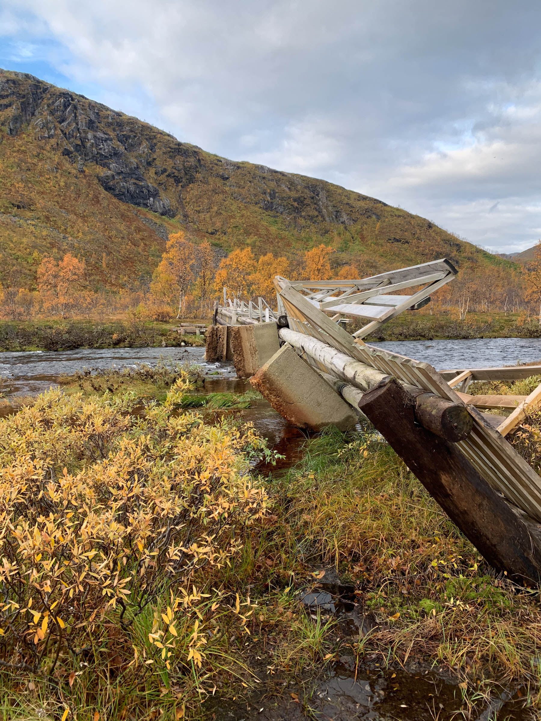
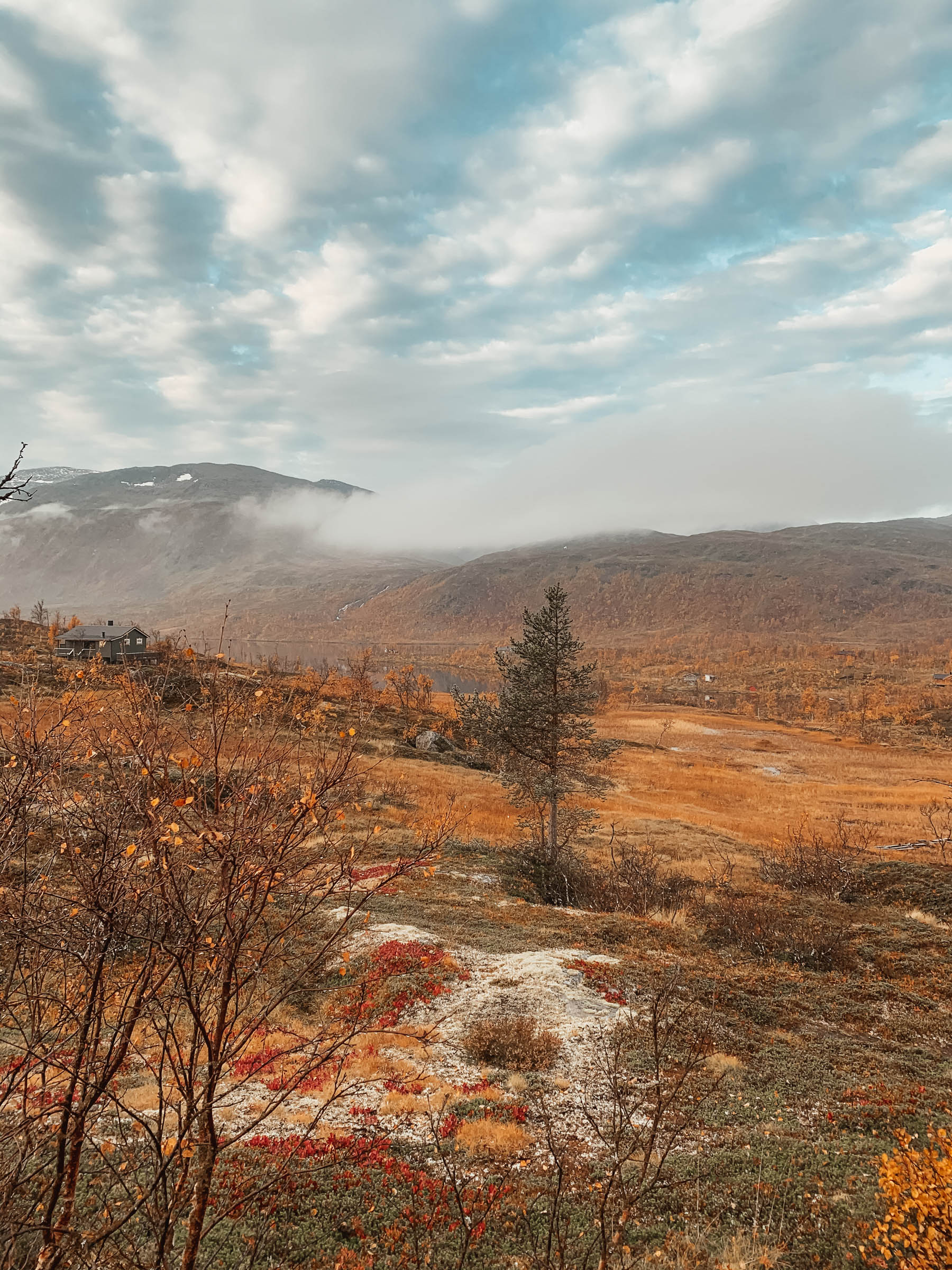
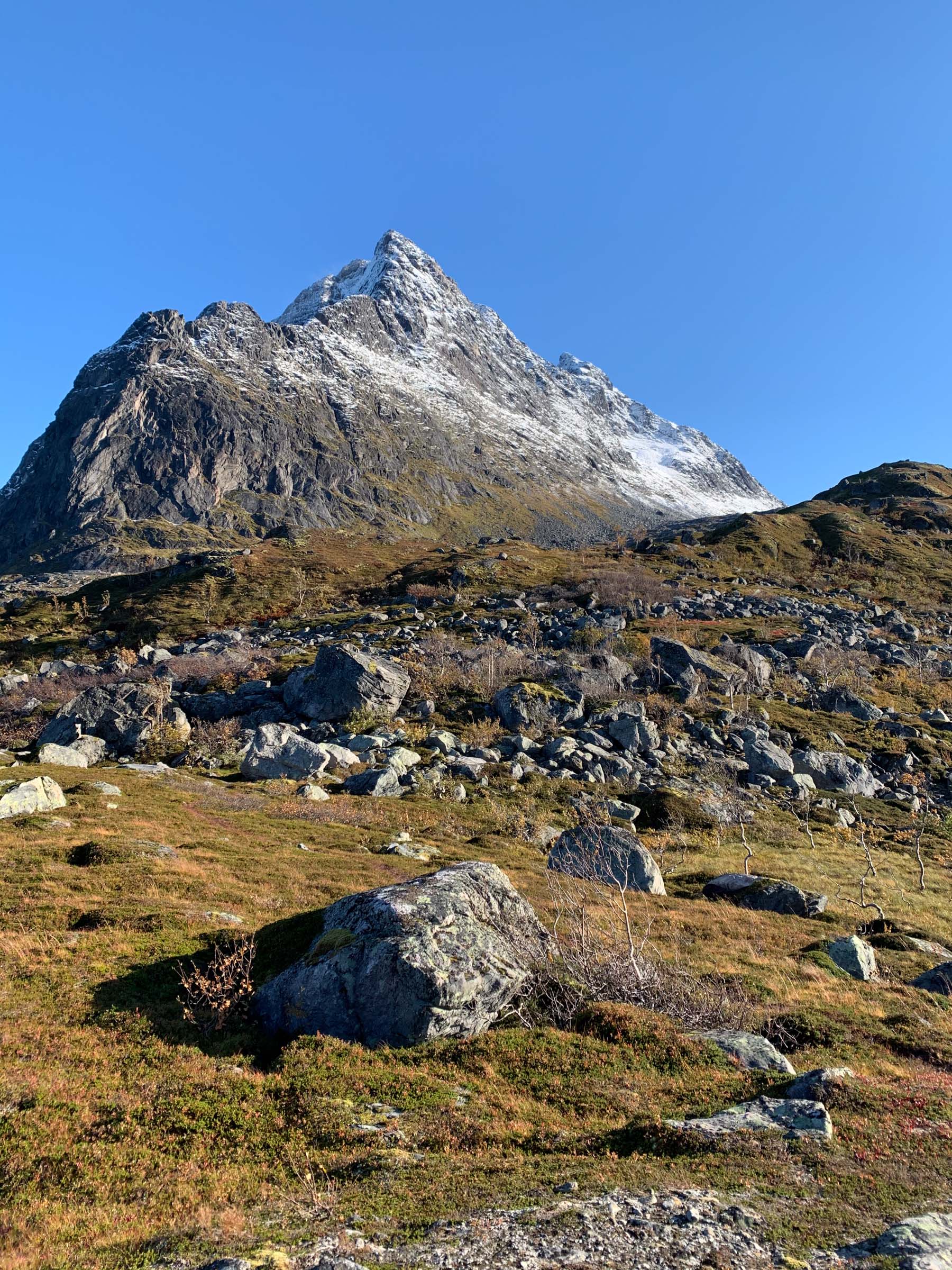
Norway’s second biggest island, Senja, is known for its rough, picturesque outer coast. However, the entire spine of the island is a landscape of mountains, valleys, lakes and reindeer pastures, far away from any settlements. Lush birch forests, shrubland above the treeline, lakes, rivers, rounded peaks and bogland; it’s all varied. It takes 4 days to do the 48 kilometres, and the elevation gain is 1800 metres. You stay in simple huts, at Lake Åndervatn even in a Sami turf hut, and no services are available. The hike is suited for anyone used to trekking, and there are no dangers on the way. Bring a tent and food for the entire trek.
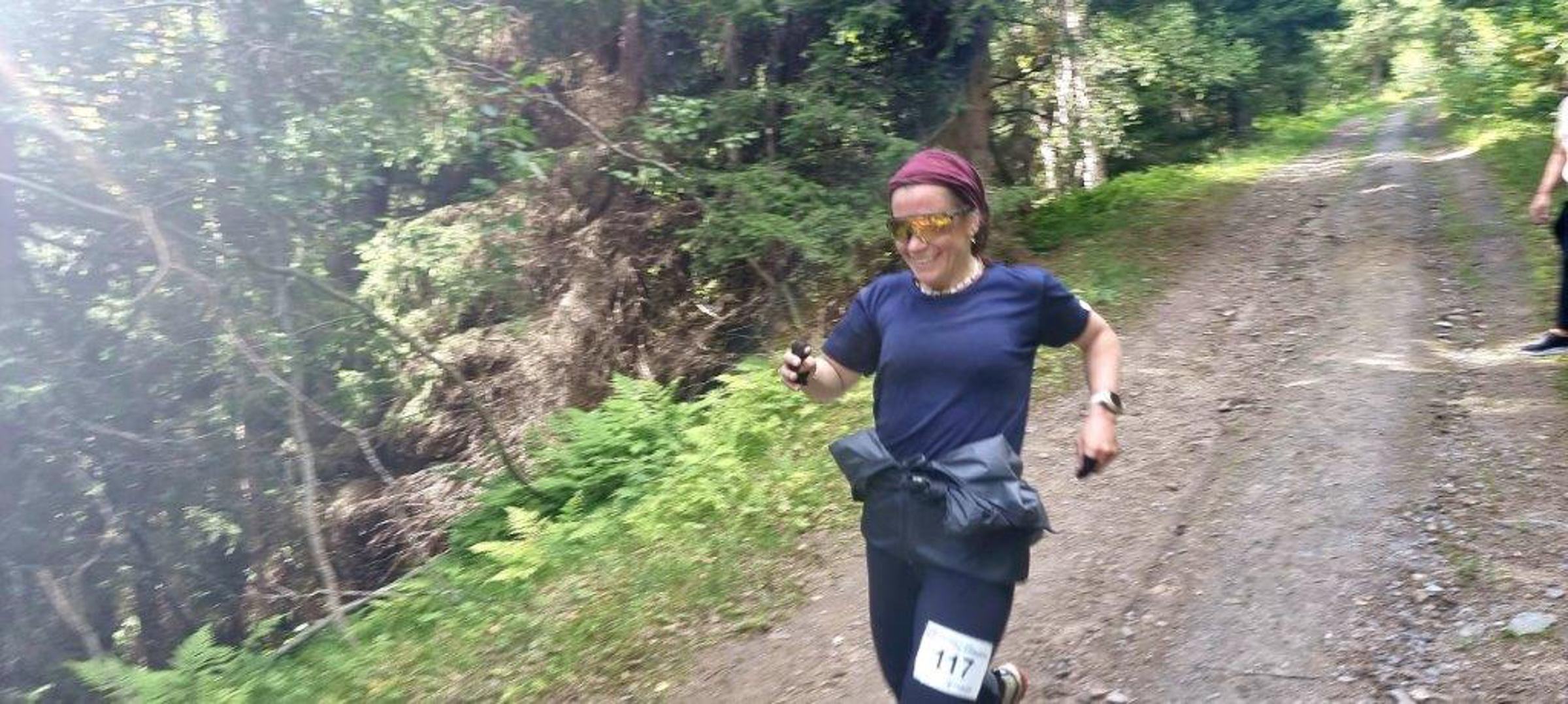
Kristin did the hike running in September. She didn’t meet a soul on her tour, and apart from crossing a road, there were few traces of human activity. The northern end is steep, and then it flattens out further south.

About Kristin Harila and tours in the north
Kristin Harila climbed all 14 peaks of the world above 8000 metres within 3 months and 1 day, finishing in July 2023, along with her climbing partner Tenjen Lama Sherpa . This is the fastest in the world. She also holds the world record in climbing the 5 highest peaks in the world; Everest, K2, Kanchenjunga, Lhotse, and Makalu. She is also the woman in the world who climbed the two peaks Everest and Lhotse the fastest, in less than eight hours.
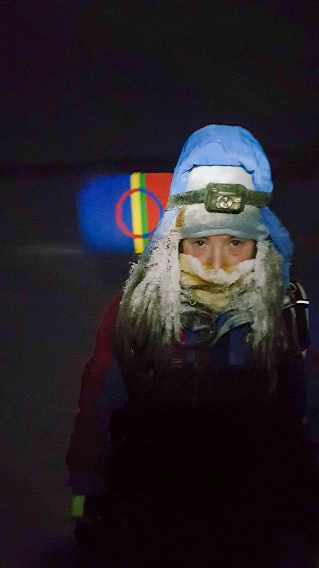
Kristin Harila comes from Vadsø in the far north-east of Norway. Honouring her Sami roots, she carried both the Sami and Norwegian flag to all the 14 summits.
We simply asked Kristin to pick her favourites in the far north of Norway. Admittedly, we also suggested it shouldn’t only be hard and tough hikes. And voilà. Other outdoorsy people might pick other tours.
Kristin Harila is not only about tough challenges. She is a firm believer in public health measures, and being outdoor in nature is part of that.
There is no simple answer to that. You absolutely need to be used to steep mountains for the Ersfjordtraversen and Hamperokken. The Senja Ridge Tour requires experience in the wild. The Nattfjelldalen hike, on the other hand, is a tour most people can do.
Visit Norway has an excellent overview, both for the summer hikes and for winter hikes.